
Australia
The Central Coast
Description
Just to the north of Sydney, across Broken Bay lays a fantasmagoria of beaches and lakes.
Known locally as "The Central Coast", this area has always been a favoured holiday destination for Sydney-siders. Many locals commute to Sydney by train, and you can see the rail bridge about 4 nm west of WP 4, Lion Island.
Round trips
- 50 nm: Entire route
- 7 nm: Mardi Dam HDG 190
- 25 nm: Gosford
Beaches heading south from Norah Head:
- * WP 2: The Entrance
- Shelley Beach
- Bateau Bay
- Forresters Beach
- Wamberal
- Copacabana
- * WP 3: McMasters Beach
- Bouddi Point
- Putty Beach
- Tallow Beach
Lion Island is a turnpoint in three of our flights. Beaches heading north from Lion Island:
- Pearl Beach
- Umina Beach
- Ettalong Beach
Nav data
- Country: Australia
- Locale: N.S.W. | Sydney & Surrounds
- Route: YWVA Warnervale to YWVA Warnervale
- Distance: 50, 7, 25 nm
- File name: australia-YWVA-to-YWVA-VFR-gosford-221215
Waypoints
- WP 1 - E along the northern shore of Tuggerah Lake to Norah Head
- WP 2 - Follow the coast S for 7 nm to the sandbar at the entrance to Tuggerah Lake / The Entrance
- WP 3 - Follow the coast S for 8 nm to McMasters Beach / Cockrone Lake
- WP 4 - Lion Island in the centre of Broken Bay
- WP 5 - Mount Pleasant (330 ft) / Woy Woy
- WP 6 - N across Brisbane Water for 3 nm to Gosford
 WP 1 - E along the northern shore of Tuggerah Lake to Norah Head
 WP 1 - E along the northern shore of Tuggerah Lake to Norah Head
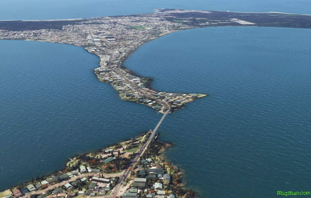
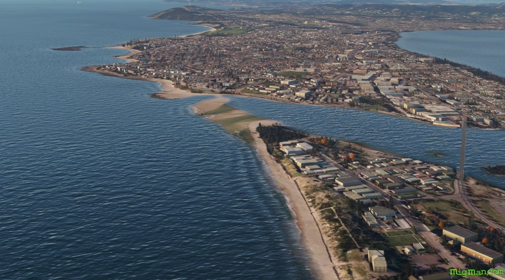 WP 2 - Follow the coast S for 7 nm to the sandbar at the entrance to Tuggerah Lake / The Entrance
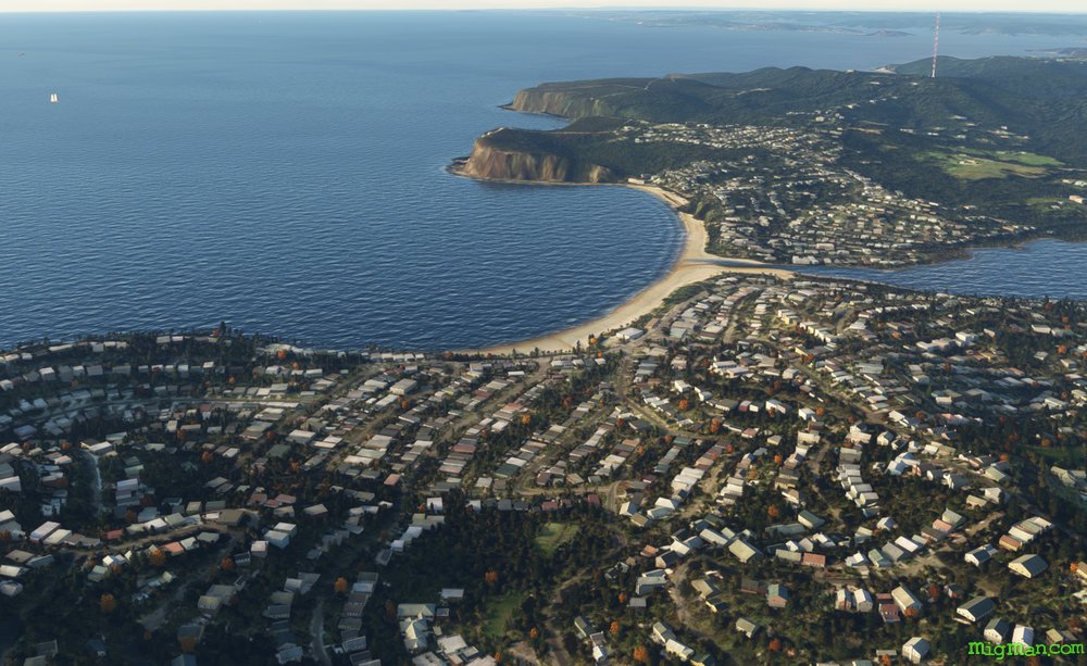 WP 3 - Follow the coast S for 8 nm to McMasters Beach / Cockrone Lake
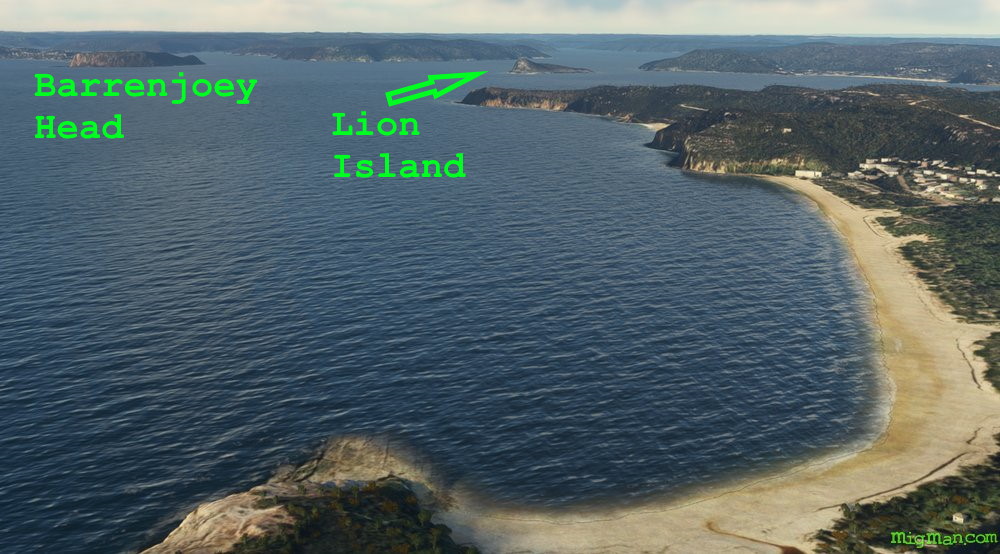 WP 4 - Lion Island in the centre of Broken Bay
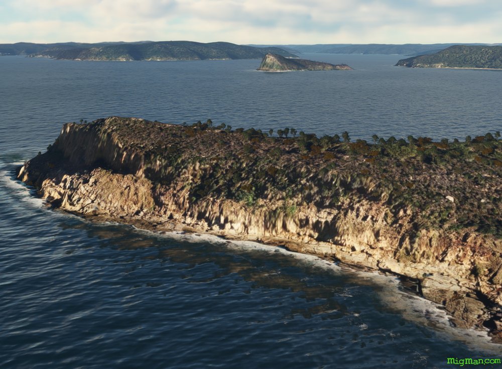 WP 4 - Lion Island in the centre of Broken Bay
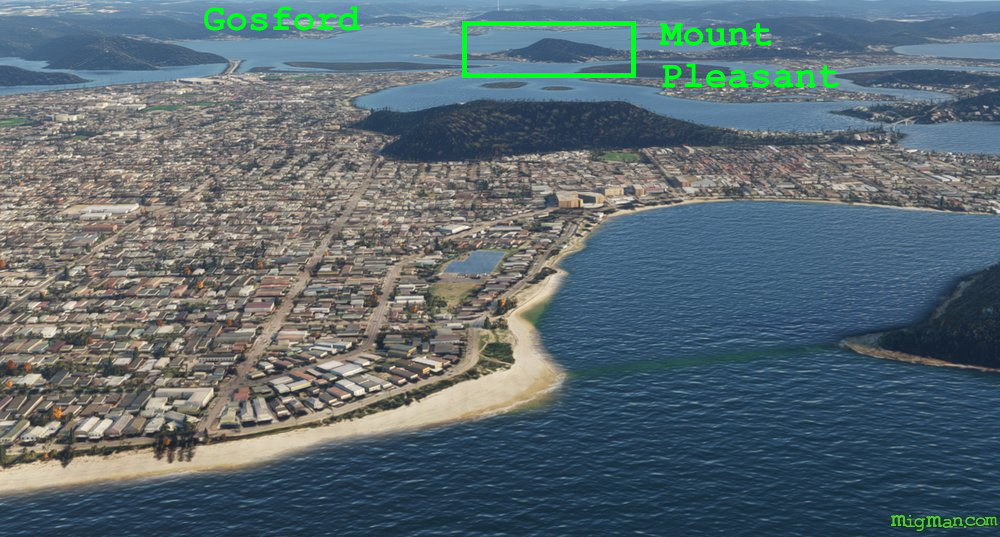 WP 5 - Mount Pleasant (330 ft) / Woy Woy
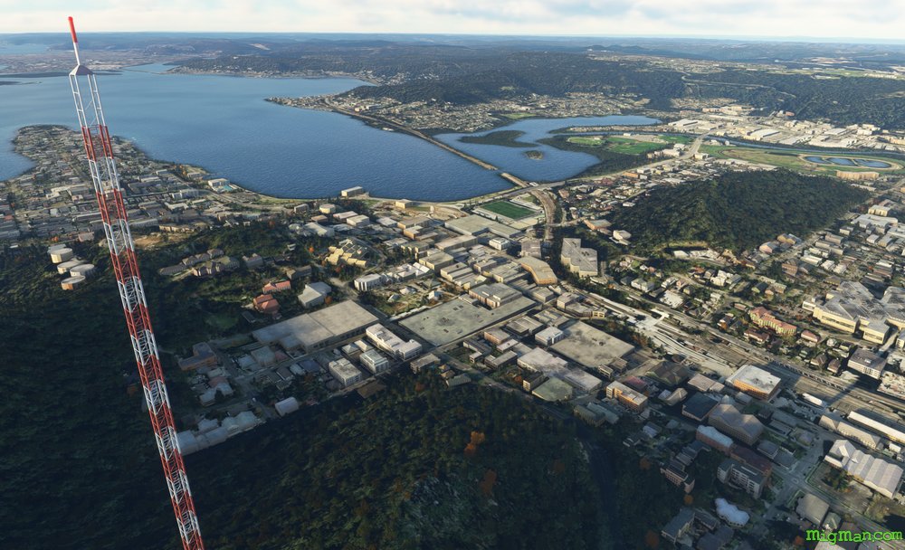
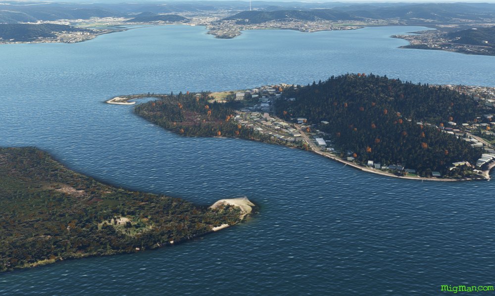 WP 6 - N across Brisbane Water for 3 nm to GosfordLooking south from Gosford (drone view)
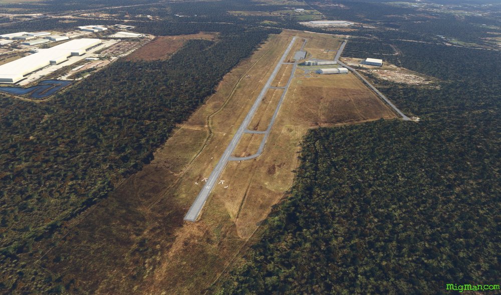 YWVA Warnervale