
Australia
Mount Warning, but 'Bob's your uncle'
Description
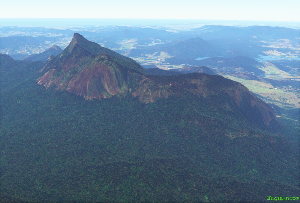
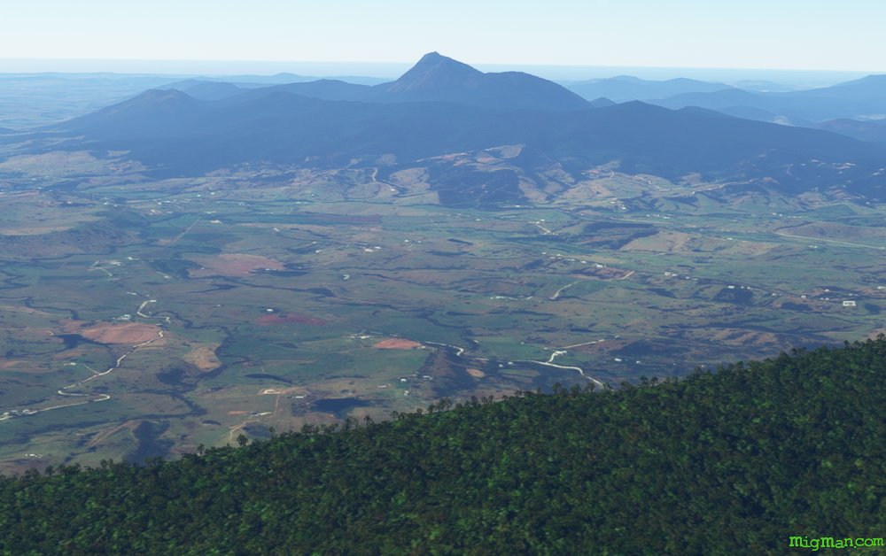
Lismore is one of the largest regional centres in northern N.S.W. and is a locus for the boomer era counter-culture, much like Ballina, Byron Bay and Nimbin. Mount Warning is a volcanic plug, with about half the crater walls remaining and forming a very distinctive landmark. It last erupted about 23 million years back so 'Bob's your uncle' as we say down uinder. **
But you never know!
** Translation: Conditions are optimal. Luck not required.
Nav data
- Country: Australia
- Locale: N.S.W. | North Coast
- Route: YLIS Lismore to YLIS Lismore
- Distance: 86 nm
- File name: australia-YLIS-to-YLIS-VFR-lismore-nw-230222
Waypoints
- WP 1 - 11 nm WSW to Casino Airport.
At about the 5 mile mark pass over the quarry at Clovass Road - WP 2 - 16 nm NNW to Lake Harrison at Kyogle.
Follow Grady's Creek / Grady's Creek Road / North Coast rail line - WP 3 - N for 7 nm to the bridge over the Richmond River at Wiangaree
- WP 4 - N for 8 nm along in the valley to Mount Gipps.
Follow Grady's Creek / Grady's Creek Road / North Coast rail line - WP 5 - E for 15 nm to Mount Warning.
Clarrie Hall Dam is visible about 2 nm SE - WP 6 - SSW for 8 nm to Mount Burrell.
Nimbin is about 4nm south.
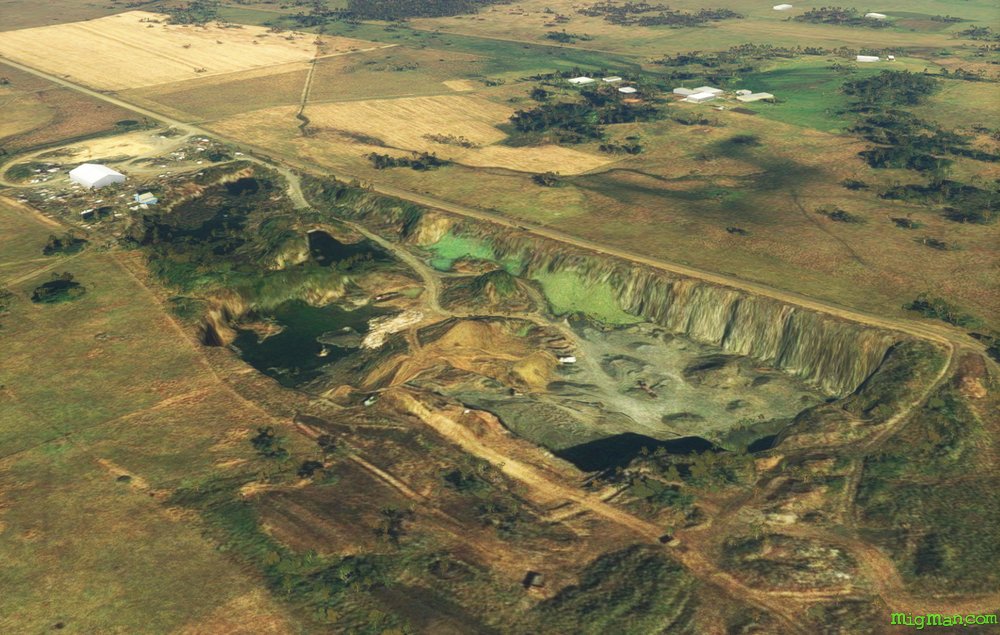 At about the 5 mile mark pass over the quarry at Clovass Road
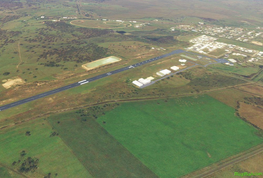 WP 1 - 11 nm WSW to Casino Airport
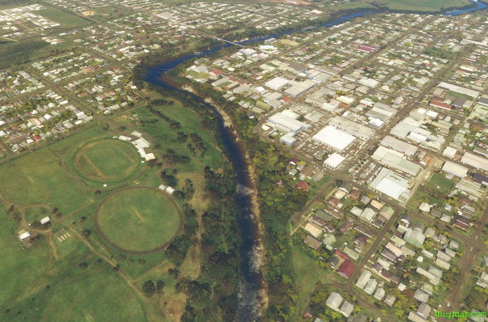 The town of Casino
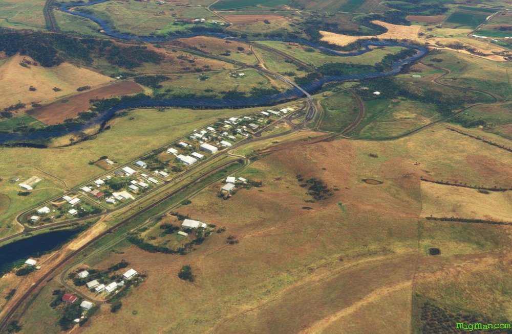
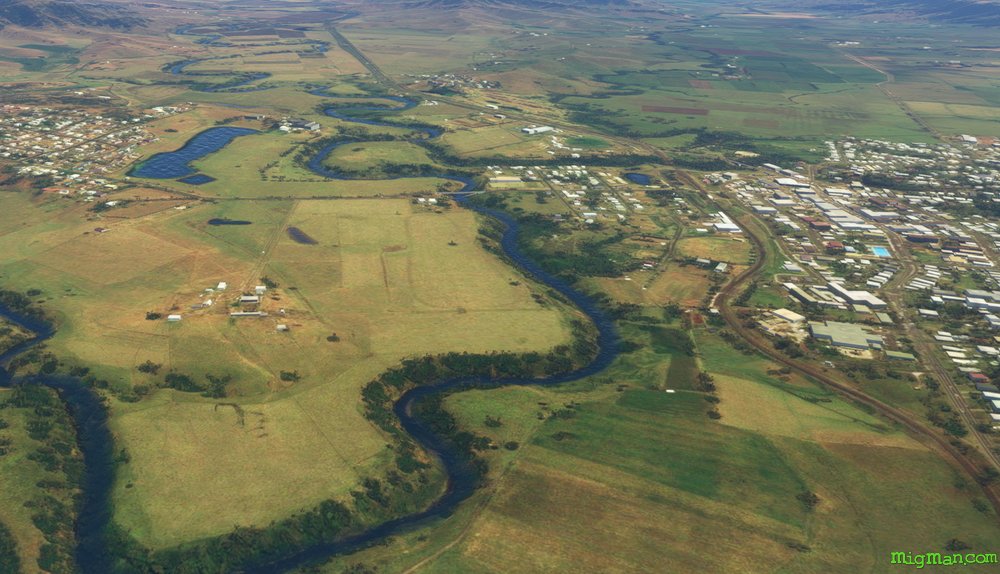 WP 2 - 16 nm NNW to Lake Harrison at Kyogle.
Follow Grady's Creek / Grady's Creek Road / North Coast rail line
 WP 3 - N for 7 nm to the bridge over the Richmond River at Wiangaree
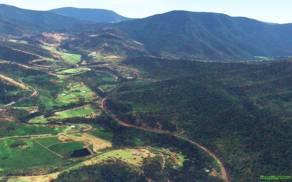 WP 4 - N for 8 nm along in the valley to Mount Gipps.
Follow Grady's Creek / Grady's Creek Road / North Coast rail line
 WP 5 - E for 15 nm to Mount Warning.
Clarrie Hall Dam is visible about 2 nm SE
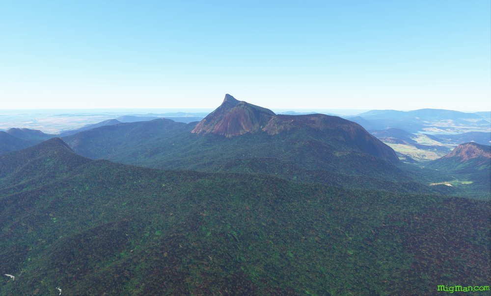 Mount WarningMount Warning
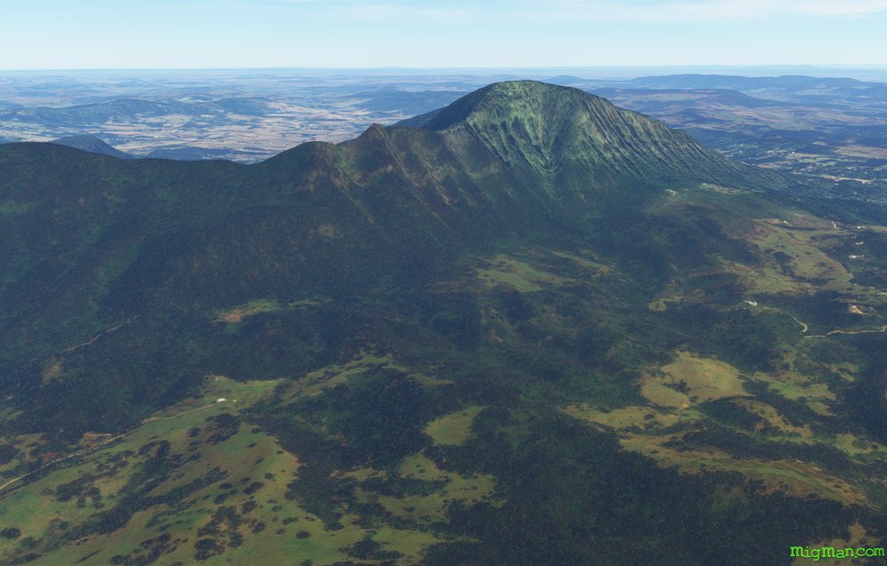 WP 6 - SSW for 8 nm to Mount Burrell.
Nimbin is about 4nm south.
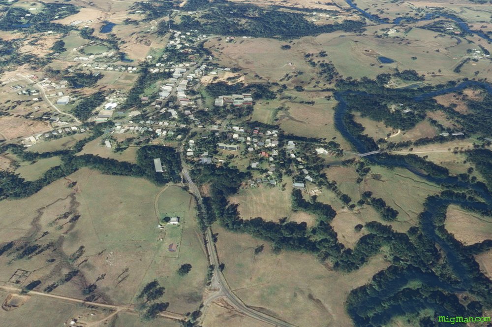 Nimbin
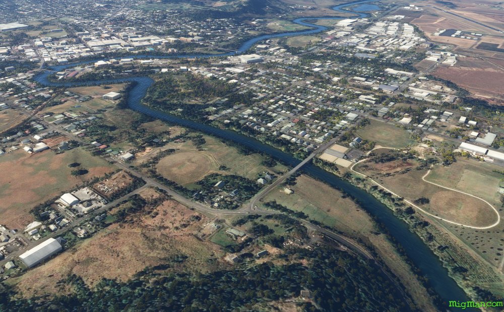 Lismore, approcahing from NW. The airport is at upper right.
 Lismore YLIS