
Australia
Ulladulla, Sussex Inlet, Jervis Bay and Shoalhaven Heads
Description
Fly south over the rugged terrain of the Yerriyong State Forest and Morton National Park, then return along the coast.
Speaking Astrayan: Let's head down the south coast for the weekend, is a phrase often heard in Sydney households. Although it may sound to the outsider like "Wanna go downa coast? We'll avagoodweegend!"
Round trips from north to south: 21 nm HDG 025: Jaspers Brush Airfield YBEY (3344 ft) 12 nm HDG 032: Bomaderry 24 nm HDG 057: Shoalhaven Heads 16 nm HDG 125: Huskisson on Jervis Bay. 28 nm HDG 130: Jervis Bay Military YJBY and Royal Australian Navy (RAN) base HMAS Creswell. 40 nm HDG 185: Mouth of Lake Conjola at WP 3 28 nm HDG 171: Swan Lake and Sussex Inlet 52 nm HDG 190: Ulladulla, at WP 2, has been a fishing town and popular recreational area since the 19th century.
Nav data
- Country: Australia
- Locale: N.S.W. | Sydney & Surrounds
- Route: YSNW Nowra Military to YSNW Nowra Military
- Distance: 86 and 21, 12, 24, 16, 28, 40, 28, 52 nm
- File name: australia-YSNW-to-YSNW-VFR-nowra-221210
Waypoints
- WP 1 - Fly HDG 216 for 21 nm to Porter's Creek, which is a lake on the plateau
- WP 2 - Bridge at entrance to Burrill Lake
- WP 3 - Pass Ulladulla and Milton to the mouth of Lake Conjola
- WP 4 - Sussex Inlet
- WP 5 - Jervis Bay Military YJBY
- WP 6 - Cross Jervis Bay to the headland at Currarong
- WP 7 - Coolangatta Mountain (900 ft), 2 nm SE of Jaspers Brush Airfield
- WP 8 - Jaspers Brush Airfield YBEY (3344 ft)
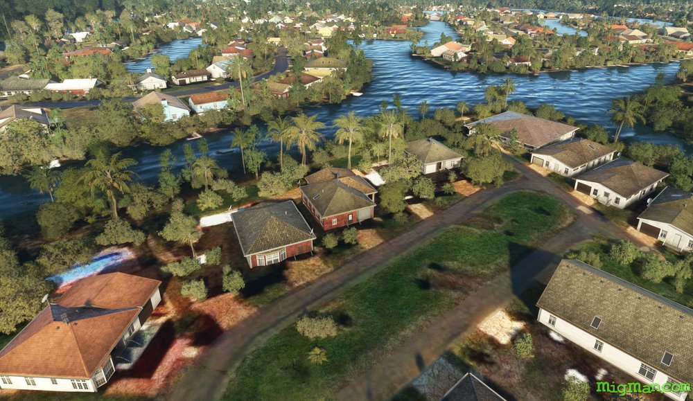
- WP 9 - Bridge at Bomaderry
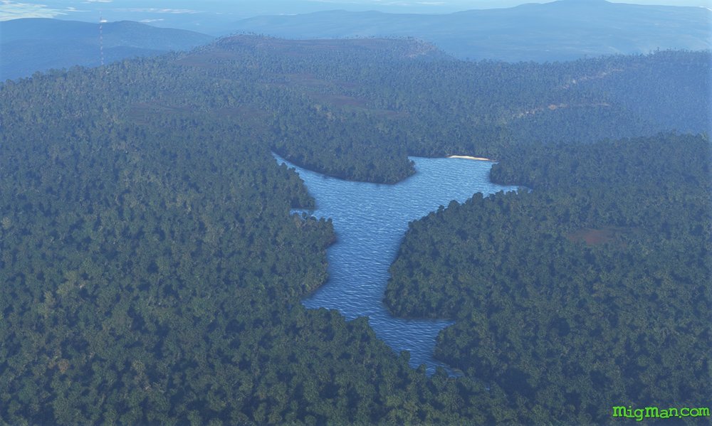 WP 1 - Fly HDG 216 for 21 nm to Porter's Creek, which is a lake on the plateau
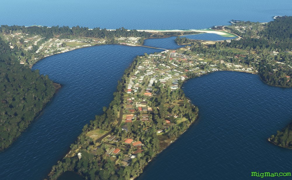 WP 2 - Bridge at entrance to Burrill Lake
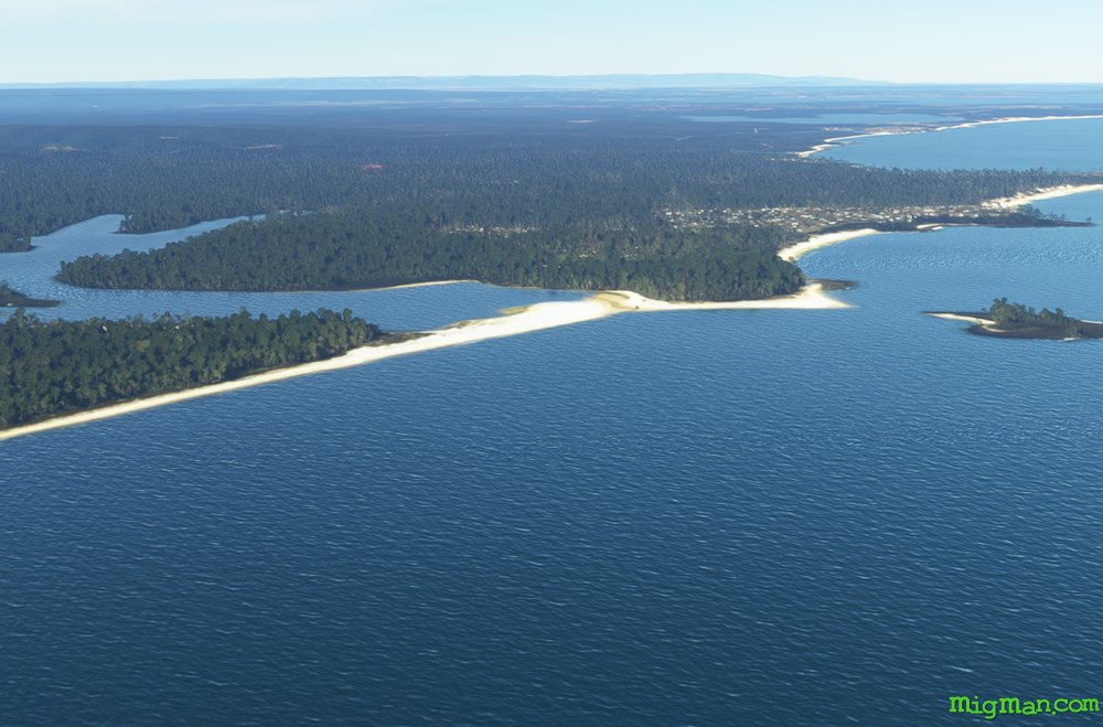 WP 3 - Pass Ulladulla and Milton to the mouth of Lake Conjola
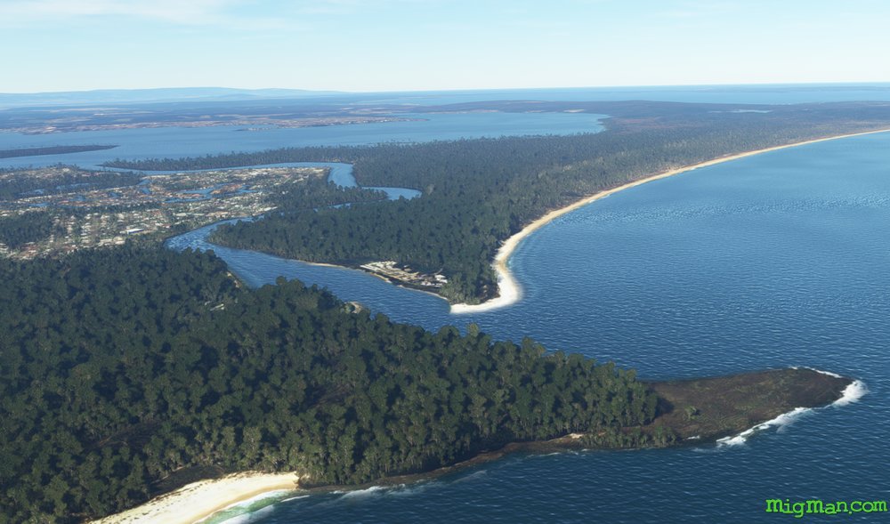 WP 4 - Sussex Inlet
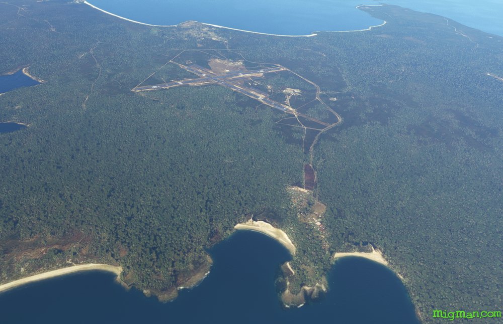 WP 5 - Jervis Bay Military YJBY
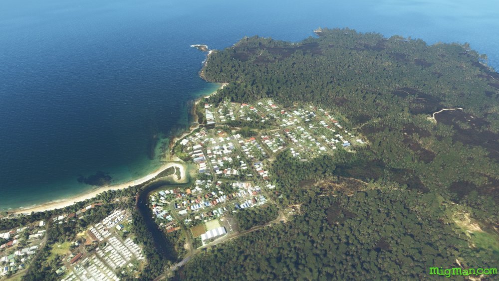 WP 6 - Cross Jervis Bay to the headland at Currarong
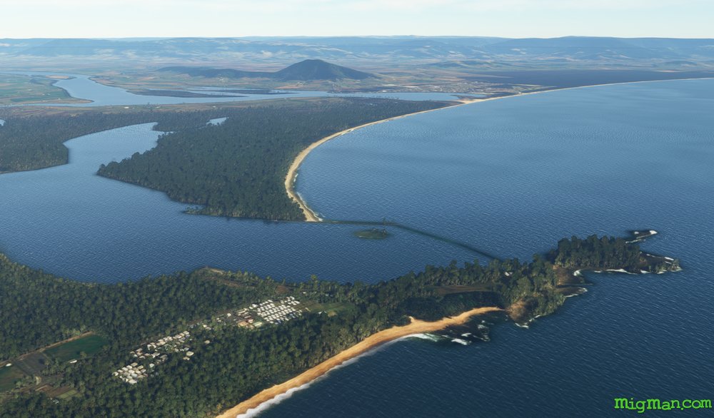 WP 7 - Coolangatta Mountain (900 ft), 2 nm SE of Jaspers Brush Airfield
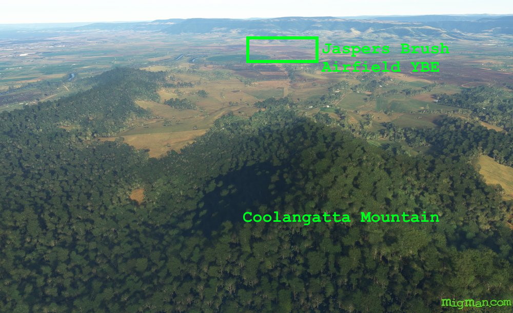 WP 8 - Jaspers Brush Airfield YBEY (3344 ft)
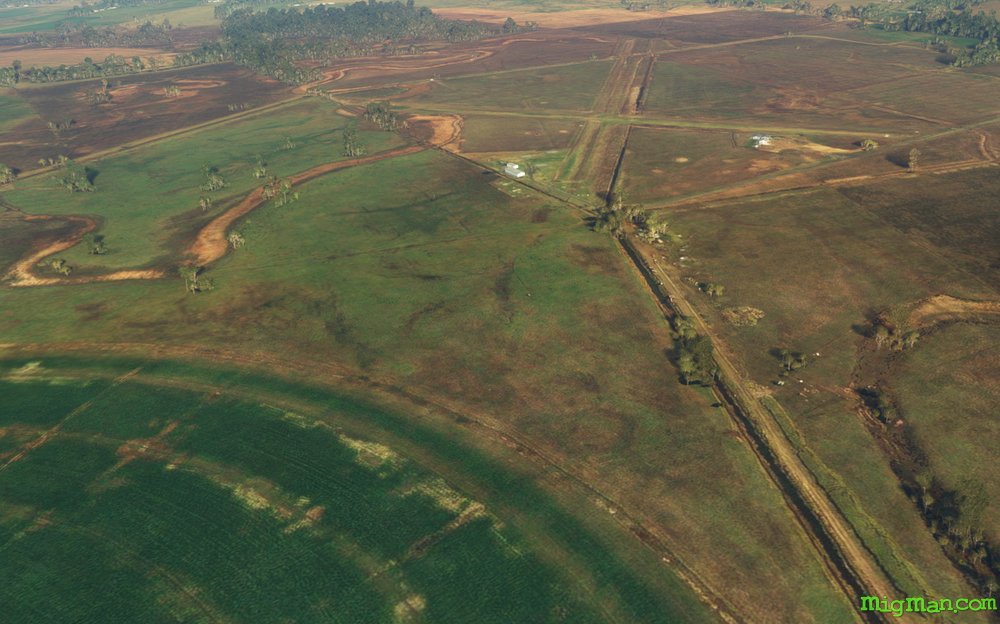 WP 8 - Jaspers Brush Airfield YBEY (3344 ft)
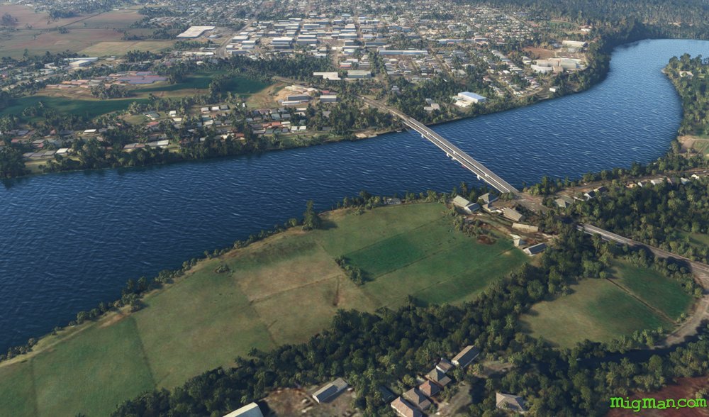 WP 9 - Bridge at Bomaderry
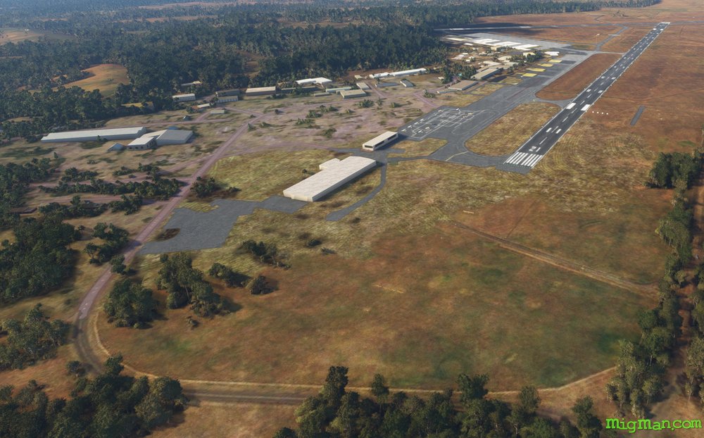 YSNW Nowra Military