
Australia
Scone SE: Lakes, Dams and Mines.
Description
In the area bounded by Muswellbrook, Singleton and Lake Saint Clar lay Drayton, Liddel, Mount Thorley and a host of other large open cut coal mines.
Areas to explore: The vast complex of mines and processing plants south of Muswellbrook, between WP 1, 2 and 3. Lake Saint Clair at WP 3.
Entire route: 87 nm Shorter return flights: 19 nm | Lake Glenbawn at WP 4 28 nm | Muswellbrook
Nav data
- Country: Australia
- Locale: N.S.W. | Newcastle & Hunter
- Route: YSCO Scone to YSCO Scone
- Distance: 87 nm
- File name: australia-YSCO-to-YSCO-VFR-scone-se-230208
Waypoints
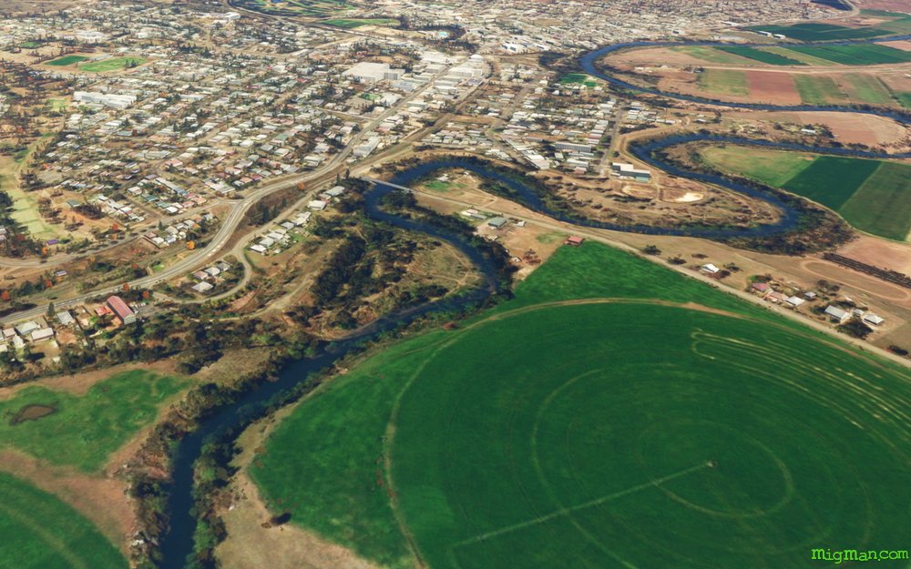
- WP 1 - Follow the New England Highway S to Muswellbrook
- WP 2 - Lake Liddell / Liddell Power Station
- WP 3 - Mount Thorley Mine
- WP 4 - Glennies Creek Dam
WP 5 - Glenbawn Dam
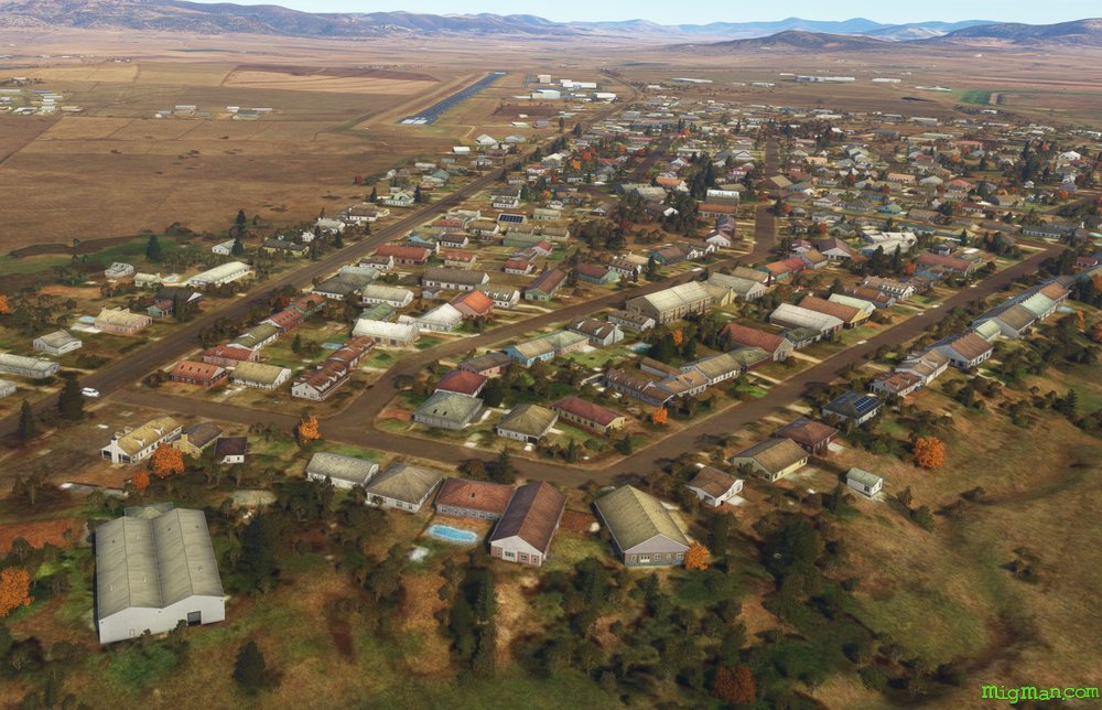
 WP 1 - Follow the New England Highway S to Muswellbrook
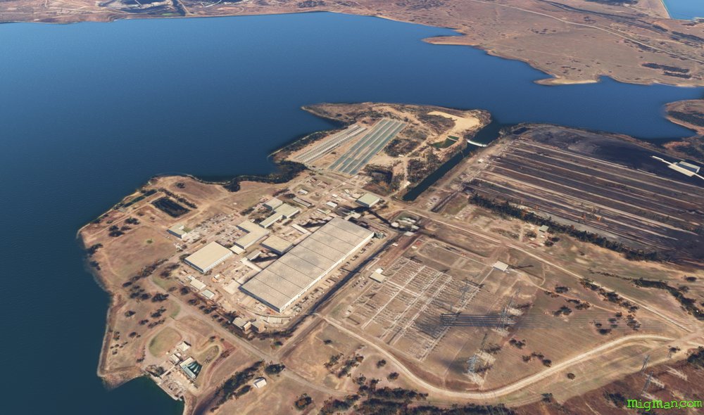 WP 2 - Lake Liddell / Liddell Power Station
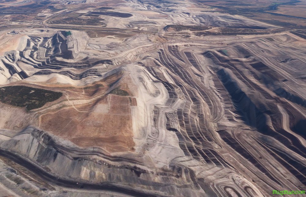 WP 3 - Mount Thorley Mine
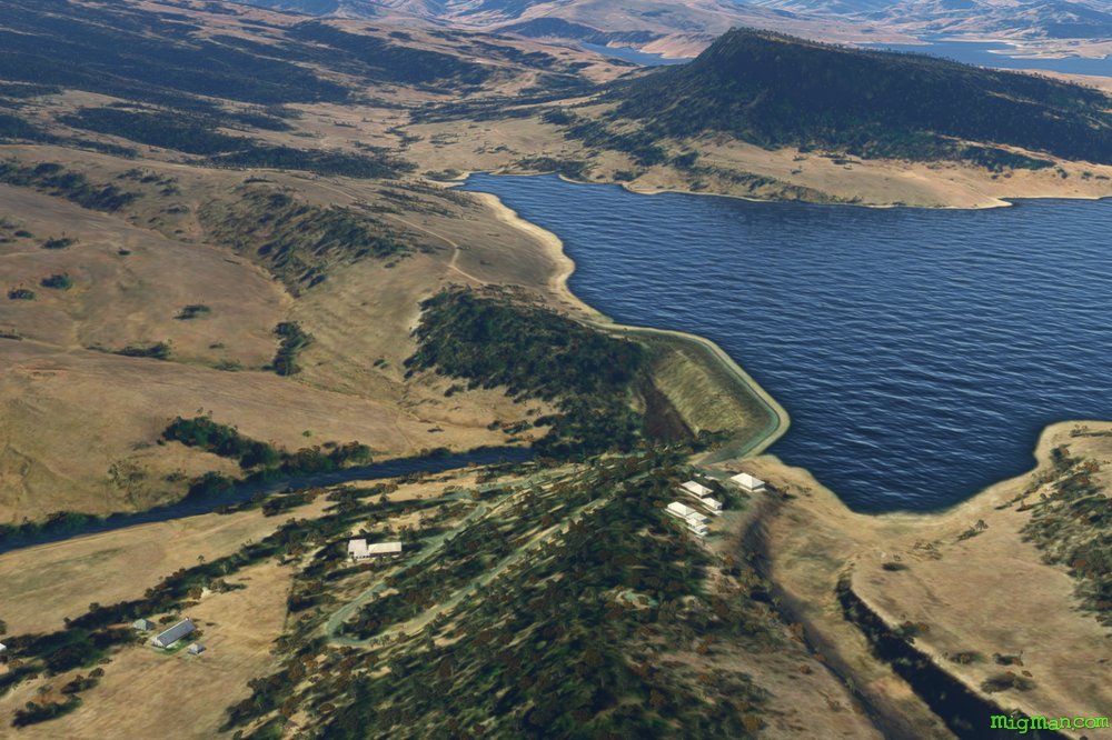 WP 4 - Glennies Creek Dam
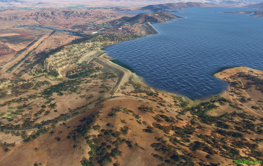 WP 5 - Glenbawn Dam
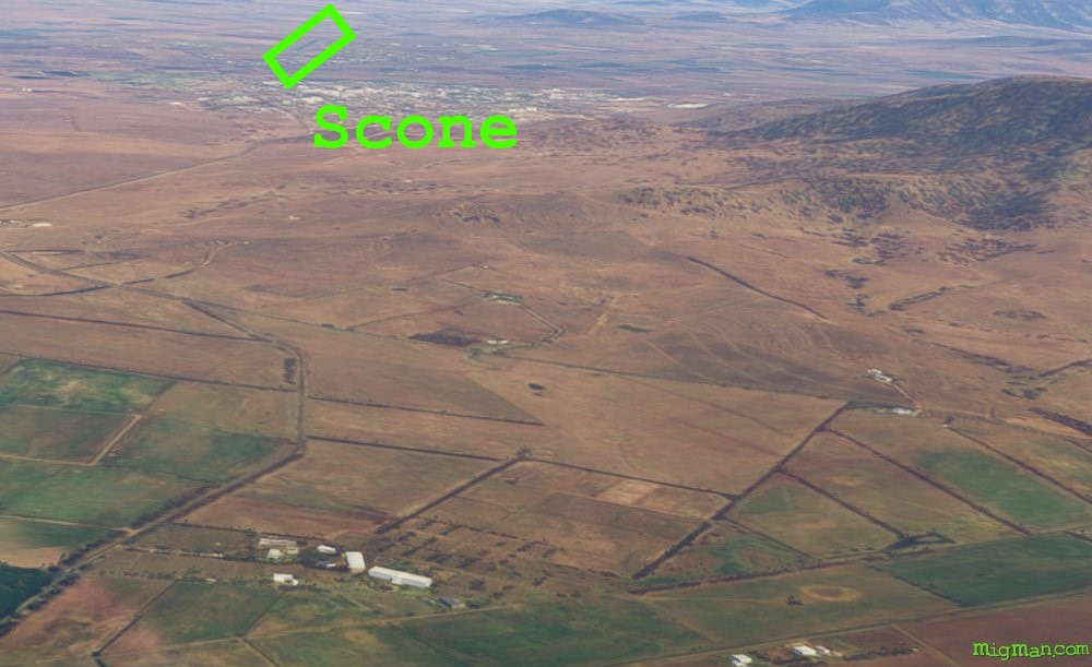 Scone and YSCO SconeYSCO Scone