
Australia
Wellington and Lake Burrendong
Description
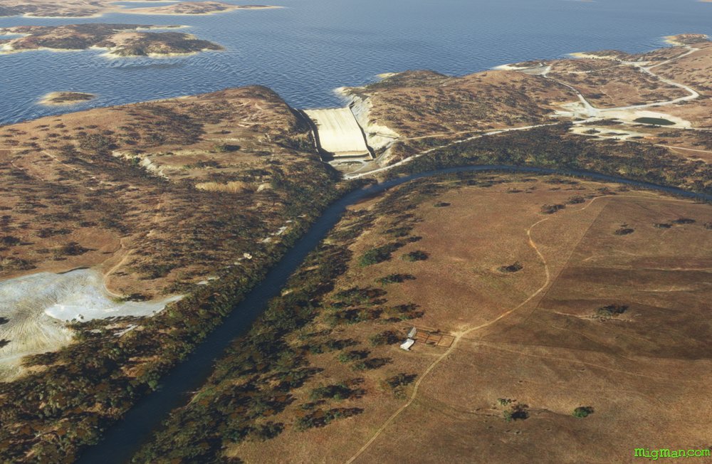
Discovered by John Oxley’s Lachlan River expedition in 1817 at the junction of the Bell and Macquarie Rivers, Wellington is the second oldest New South Wales settlement west of the Blue Mountains. Named after the Duke of Wellington, in 1823 the government established a settlement there with 12 cows and 40 sheep. The colony fell into some disrepair and was revived ten years later by the arrival of Lutheran missionaries. The man-made irrigation reservoir at Lake Burrendong was built over the period 1946-1967 and now holds more than three times the water of Sydney Harbour.
NOTAM: Wellington Airport YWEL runways 13 and 31 are inoperative as of May 2023 due to maintenance.
Nav data
- Country: Australia
- Locale: N.S.W. | Central West & Orana
- Route: YMDG Mudgee to YMDG Mudgee
- Distance: 104 nm
- File name: australia-YMDG-to-YMDG-VFR-wellington-230502
Waypoints
- WP 1 - W for 20 nm to Lake Burrendong's northern section
- WP 2 - NW for 15 nm to Wellington Airport YWEL
- WP 3 - SW for 5 nm to Wellington
- WP 4 - SE for 11 nm along the Macquarie River to Burrendong Dam
- WP 5 - SE for 12 nm along Lake Burrendong south
- WP 6 - 14 nm ENE to the edge of the plateaux
- WP 7 - 15 nm E and through the valleys to Windamere Dam
- WP 8 - NW for 13 nm to land at Mudgee YMDG
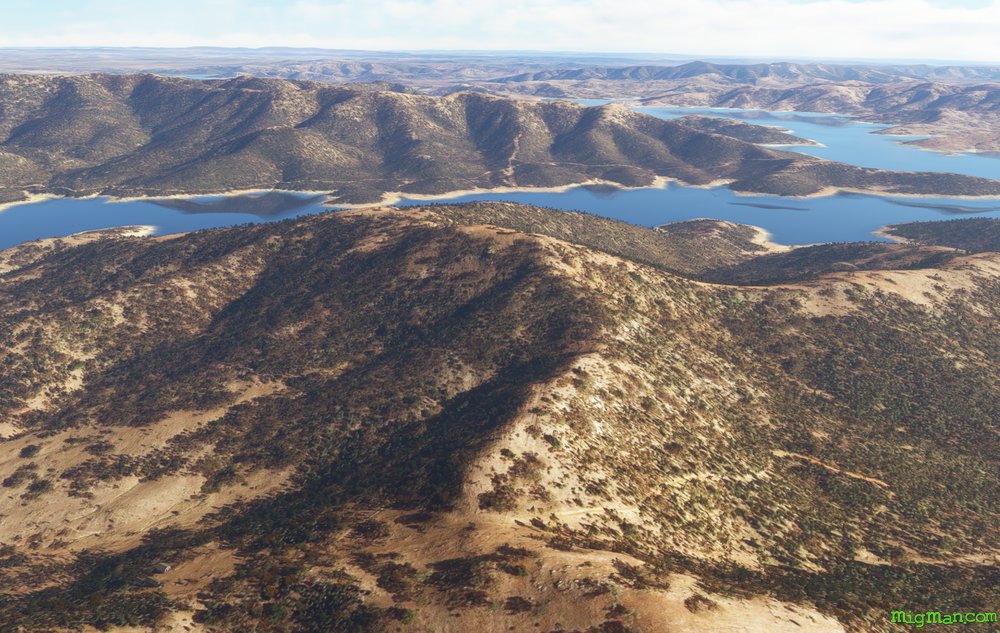 WP 1 - W for 20 nm to Lake Burrendong's northern section
 WP 2 - NW for 15 nm to Wellington Airport YWEL
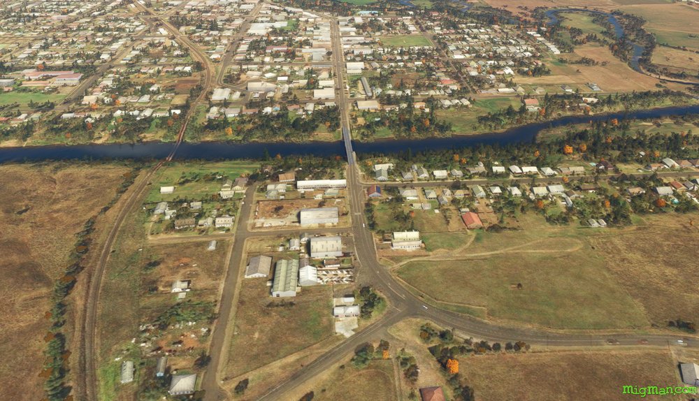 WP 3 - SW for 5 nm to Wellington
 WP 4 - SE for 11 nm along the Macquarie River to Burrendong Dam
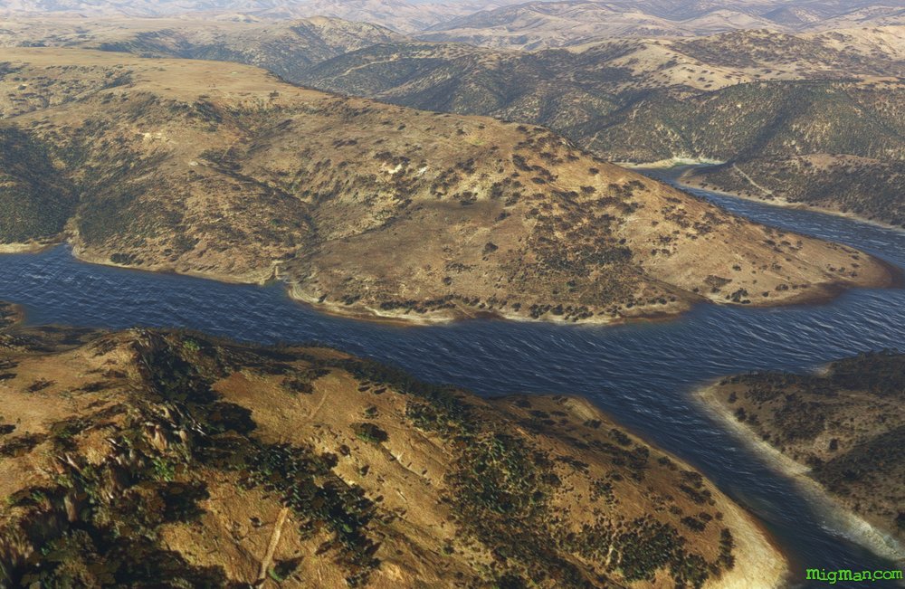 WP 5 - SE for 12 nm along Lake Burrendong south
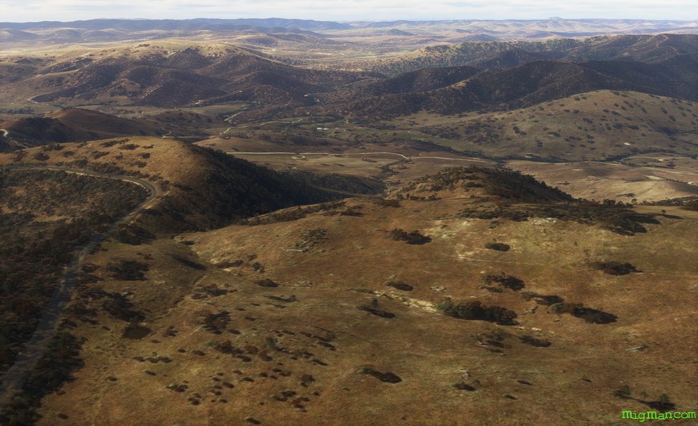 WP 6 - 14 nm ENE to the edge of the plateaux
 WP 7 - 15 nm E and through the valleys to Windamere Dam
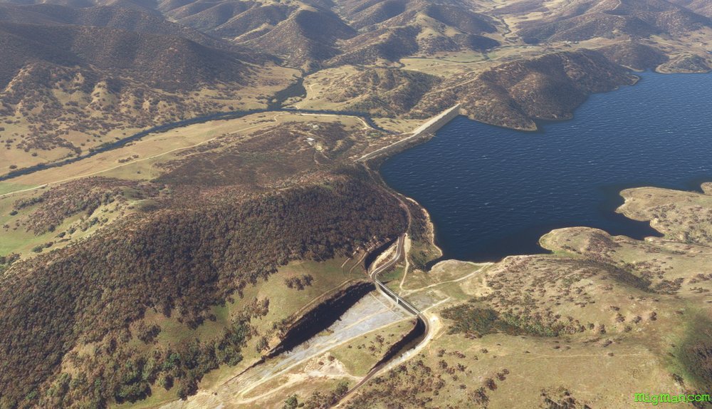 Windamere Dam
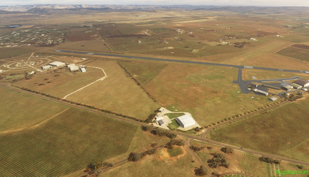 WP 8 - NW for 13 nm to land at Mudgee YMDG