Bahamas
Feline Groovy at Cat Island
Cat Island is 40 miles long and about half a mile wide in most places, yet it boasts three airports. Take off from the northernmost and have a leisurely cruise along the coast, past the other two. Perform touch and go's if you're feline good!
- Country: Bahamas
- Locale: Cat Island
- Route: Arthurs Town (MYCA) to Arthurs Town (MYCA)
- Distance: 88 nm
- File name: bahamas-MYCA-to-MYCA-VFR-cat-island-220228
Waypoints
- WP 1 - Headland at Pigeon Cay Beach
- WP 2 - New Bight Airport
- WP 3 - Great Lake
- WP 4 - Hawk's Nest Creek Airport
- WP 5 - SE corner of Cat Island | Fly up the east coast
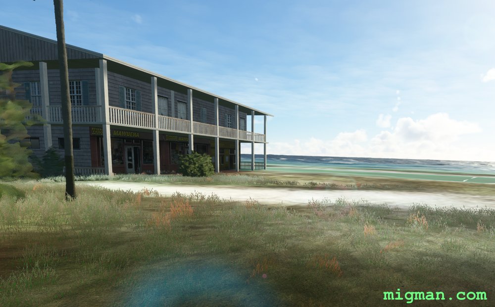
 Drone view towards the beach at Arthur's Town.After your flight, why not enjoy the hospitality at Arthurs Town! You'll find lovely gift shops.
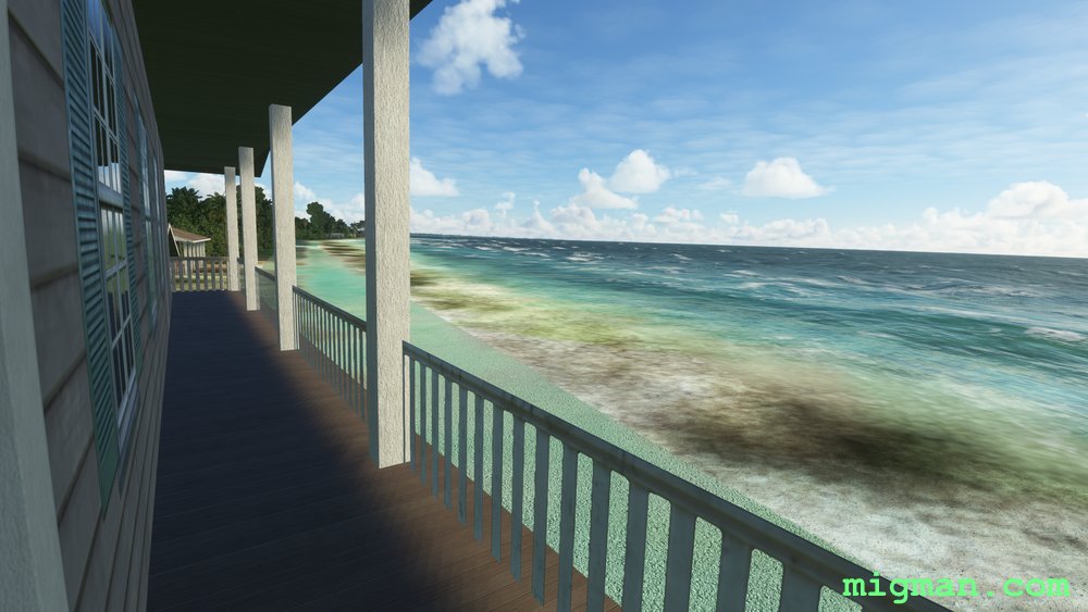 Restaurants and bars with great beach views.
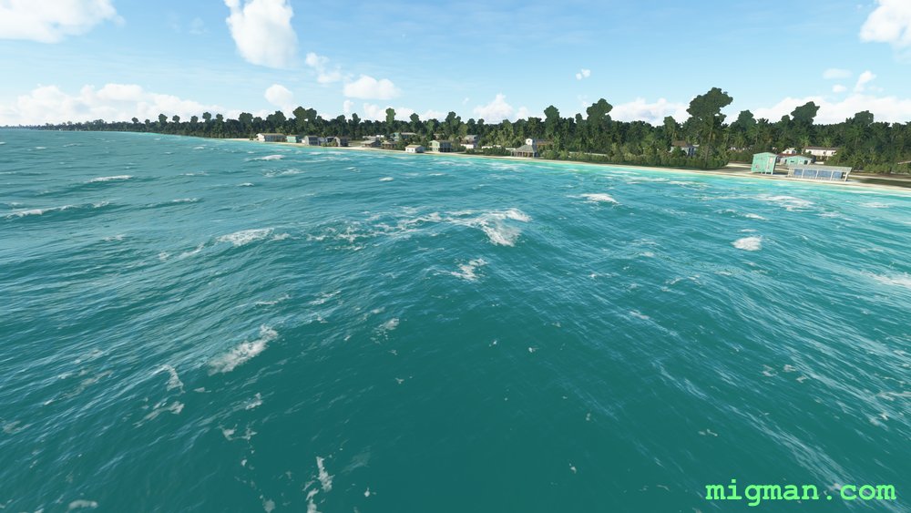
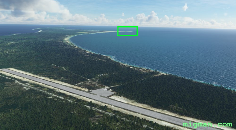 DESIGNATED: WP 1 - Headland at Pigeon Cay Beach.
Clearly visible straight after takeoff.
 WP 1 - Headland at Pigeon Cay Beach
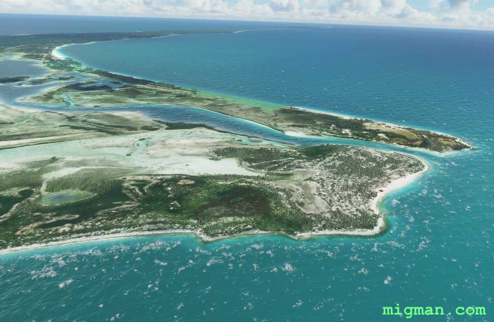 WP 1 - Headland at Pigeon Cay Beach
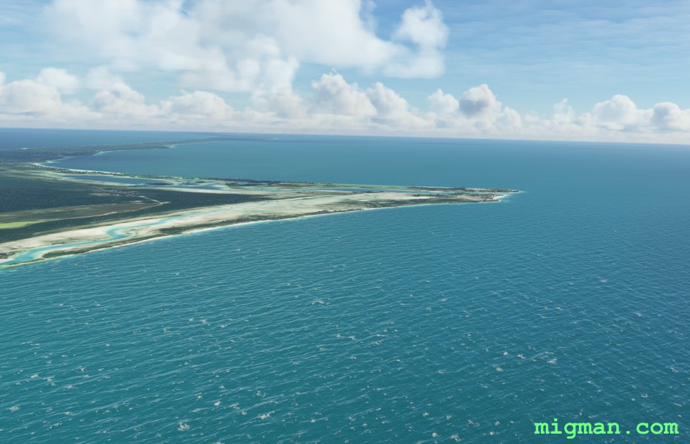
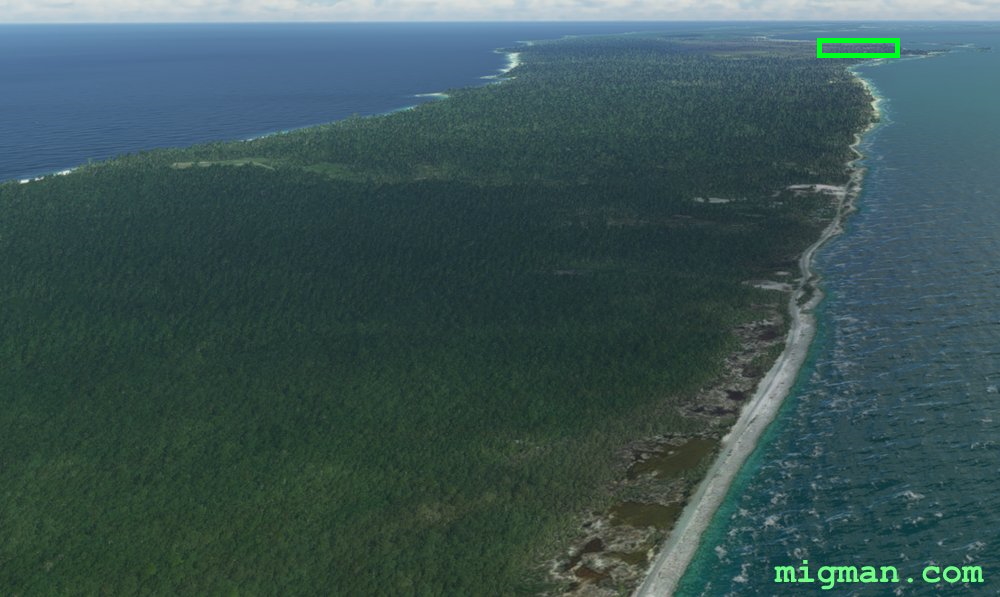 DESIGNATED: WP 2 - New Bight Airport
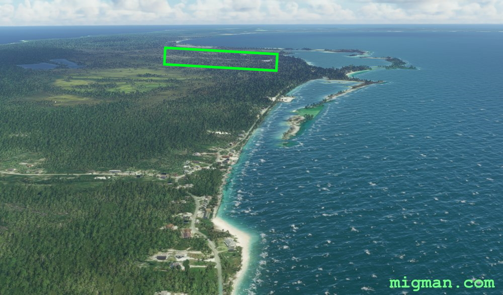 DESIGNATED: WP 2 - New Bight Airport
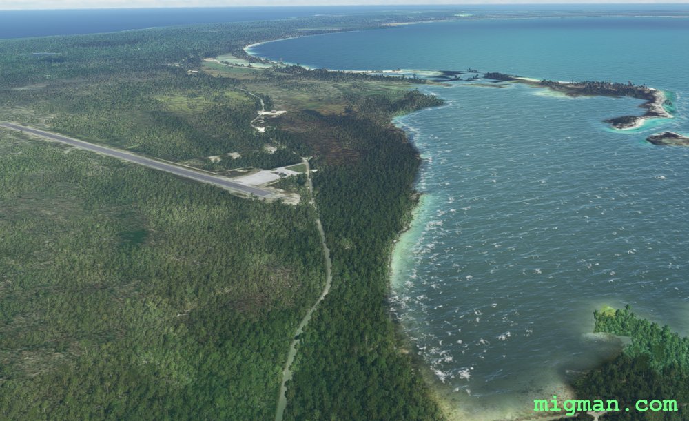 WP 2 - New Bight Airport
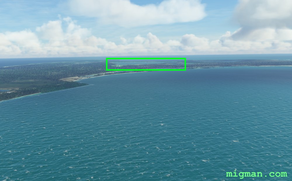 DESIGNATED: WP 3 - Great Lake
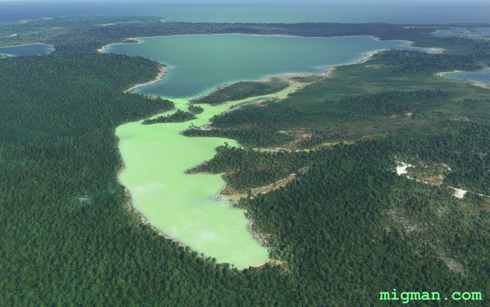 WP 3 - Great Lake
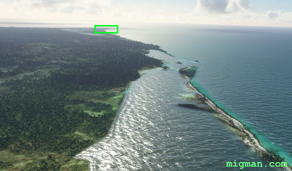 DESIGNATED: WP 4 - Hawk's Nest Creek Airport
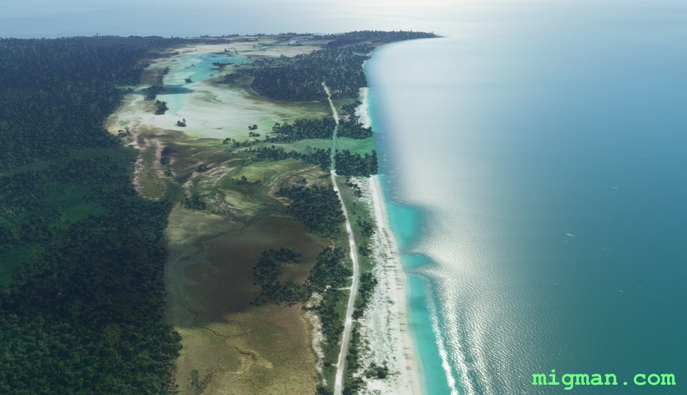 WP 4 - Hawk's Nest Creek Airport
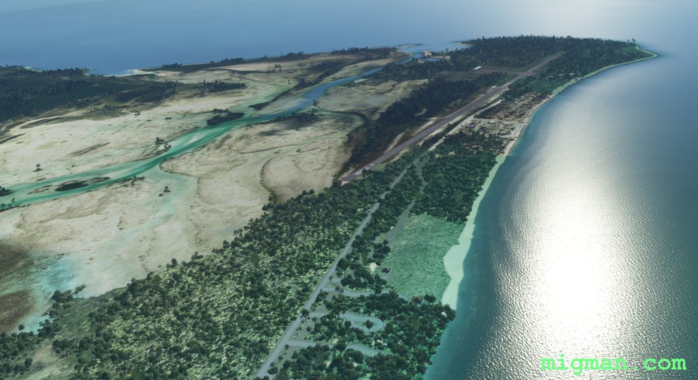 WP 4 - Hawk's Nest Creek Airport
 DESIGNATED: WP 5 - SE corner of Cat Island
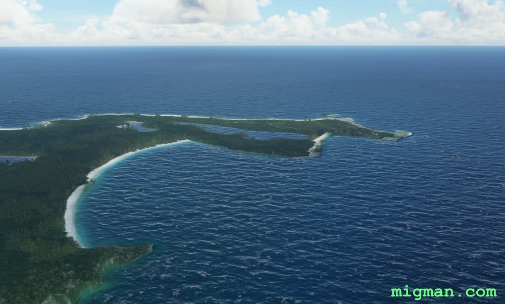 WP 5 - SE corner of Cat Island
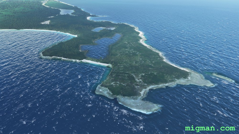 Looking NORTH at WP 5 - SE corner of Cat Island
Fly up the east coast