
Bahamas
Long, Conception and Rum Cay Islands
There are three over-water legs in this flight which takes in the northern part of Long Island and the neighbouring Conception and Rum Cay islands. If you are at 1500 ft or higher you'll just be able to see the next landfall.
- Country: Bahamas
- Locale: Long Island
- Route: Stella Maris (MYLS) to Stella Maris (MYLS)
- Distance: 71 nm
- File name: bahamas-MYLS-to-MYLS-VFR-long-island-220328
Waypoints
- WP 1 - Lagoon entrance | HDG 061 for 15nm to WP 2
- WP 2 - Conception Island | HDG 131 for 16nm to WP 3
- WP 3 - Lake George & New Port Nelson AP
- WP 4 - Sumner Point
- WP 5 - NW corner of Rum Cay Island | HDG 261 for 18nm Stella Maris AP
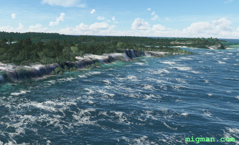
 DESIGNATED: WP 1 - Lagoon entrance
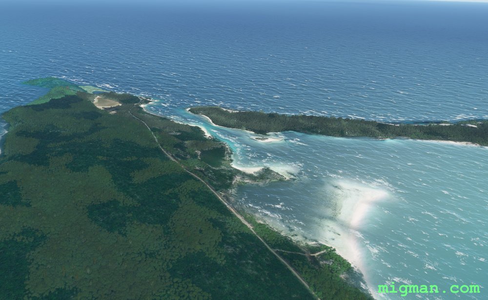 WP 1 - Lagoon entrance | HDG 061 for 15nm to WP 2WP 1 - Lagoon entrance | Drone view
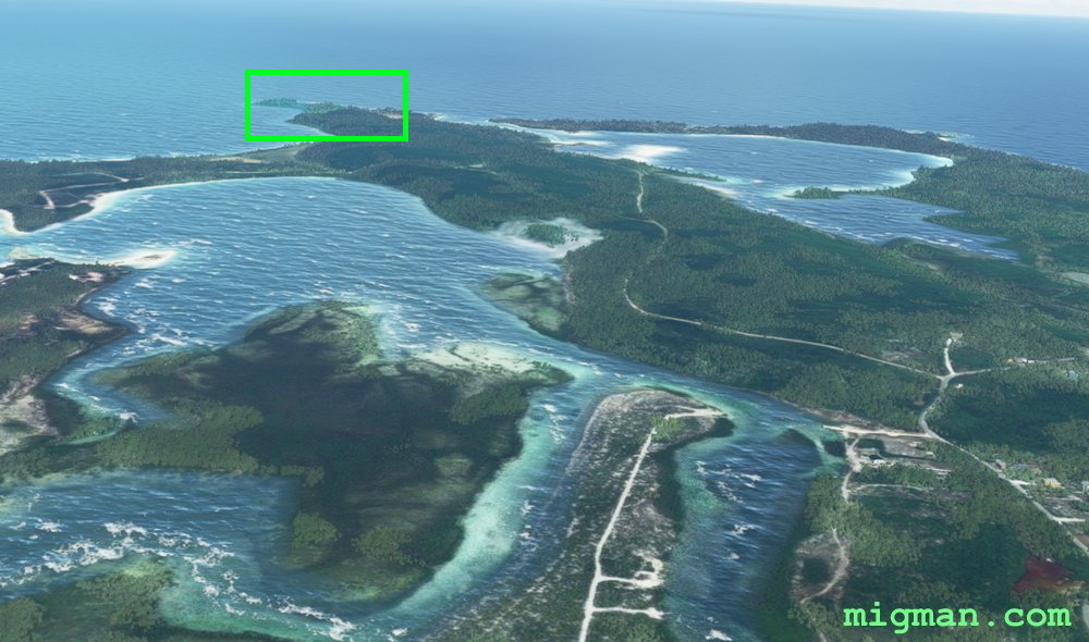
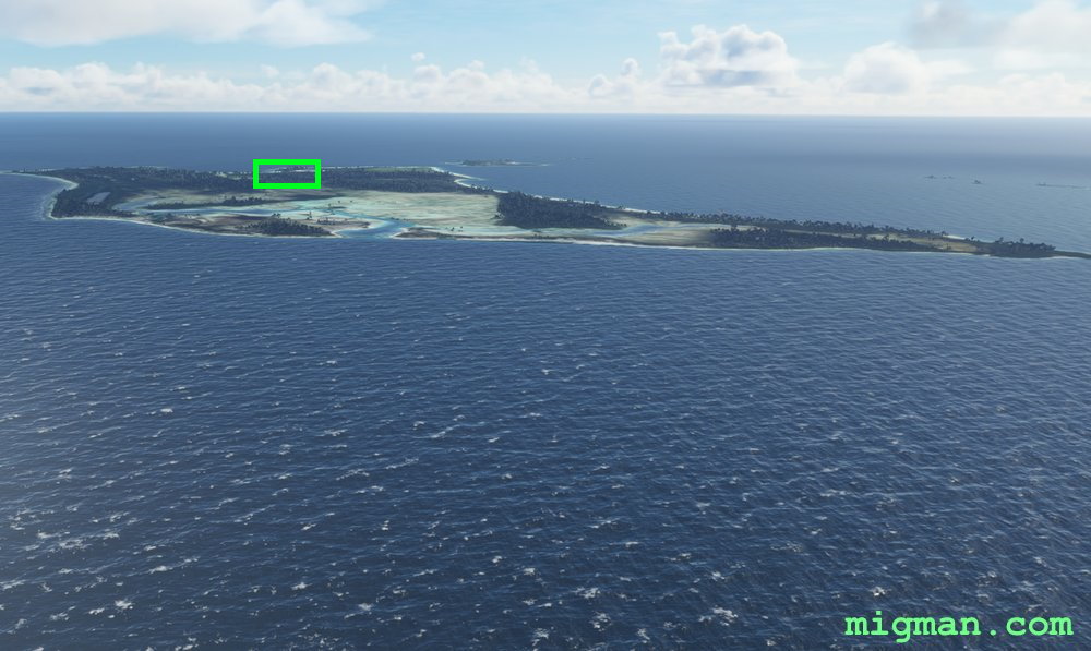 WP 2 - Conception Island
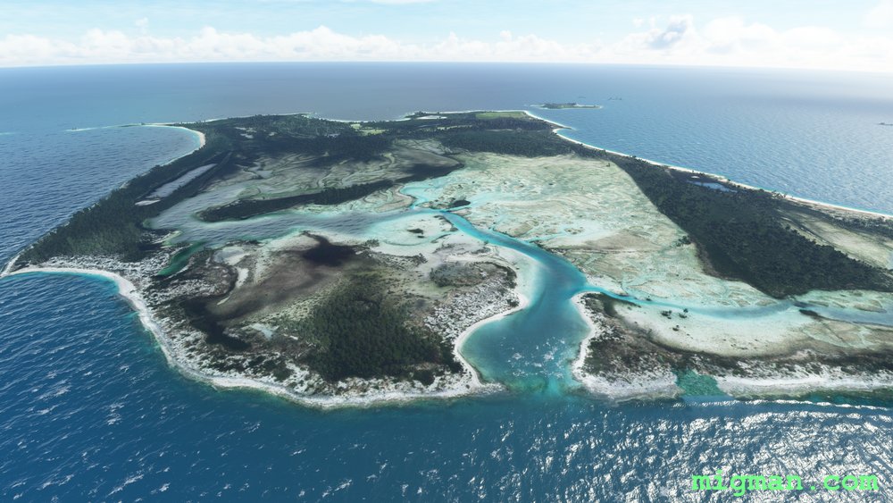 WP 2 - Conception Island
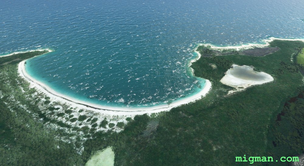 WP 2 - Conception Island | HDG 131 for 16nm to WP 5
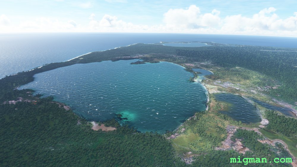 WP 3 - Lake George
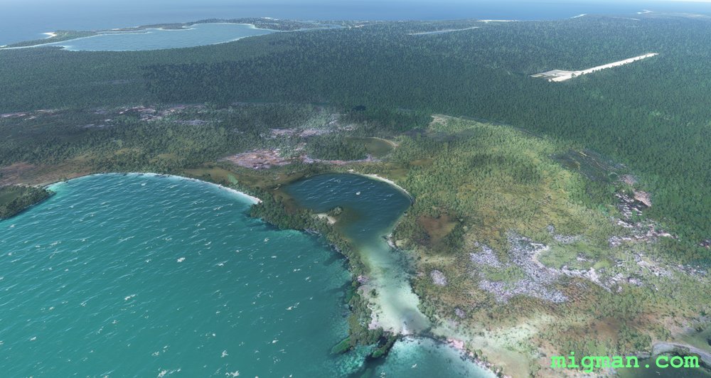 New Port Nelson AP to the right
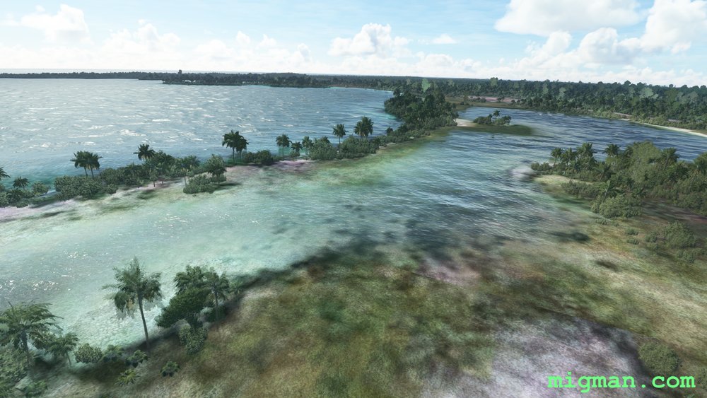 WP 3 - Lake George | Drone view
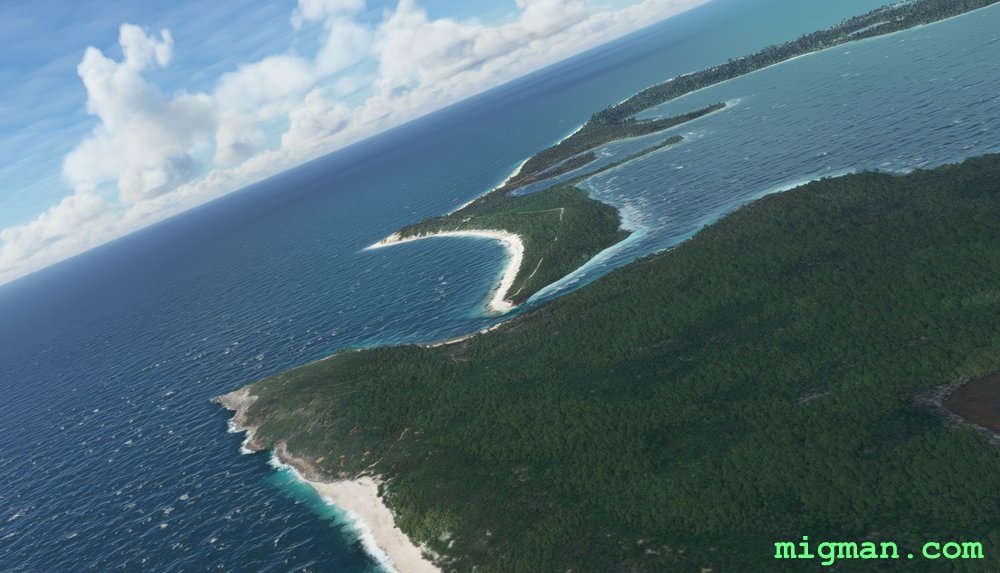 WP 4 - Sumner Point
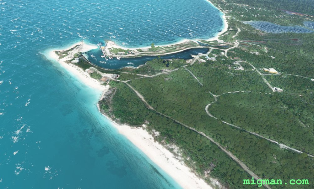 WP 4 - Sumner Point
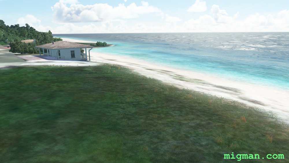 WP 4 - Sumner Point | Drone view
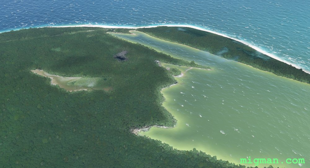 WP 5 - NW corner of Rum Cay Island | HDG 261 for 18nm Stella Maris AP
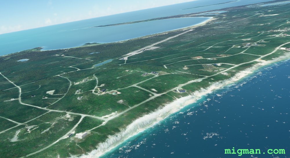 Stella Maris (MYLS)