
Egypt
Sinai Peninsula: Mount Catherine
Fly out of St Catherine on the Sinai Peninsula and visit Mount Catherine (Gabal Katrine) at 2,629 m (8,625 ft), the highest mountain in Egypt.
NOTAM: 24 nm: Mount Catherine at WP 4 | 83 nm: Entire route including two valley runs. Airport elev. 4,333 ft
EASTER EGG: About 11.6 nm past WP5 there appears to be a crash site to the right of track
- Country: Egypt
- Locale: Saint Catherine
- Route: Saint Catherine HESC to Saint Catherine HESC
- Distance: 24 / 83 nm
- File name: egypt-HESC-to-HESC-VFR-saint-catherine-220607
Waypoints
- WP 1 - St. Katherine / Niweibaa Road
- WP 2 - Hotel St. Catherine
- WP 3 - Town: Saint Catherine | Saint Catherine's Monastery is in the valley to your left
- WP 4 - Mountain: Mount Catherine
- WP 5 - Valley exit | Fly SE along base of mountains
- WP 6 - Valley entrance
- WP 7 - Turn left HDG 349
- WP 8 - 2nm E of Mount Catherine
- WP 9 - St. Katherine / Niweibaa Road (same as WP1)
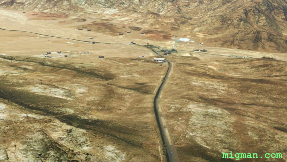 WP 1 - St. Katherine / Niweibaa Road
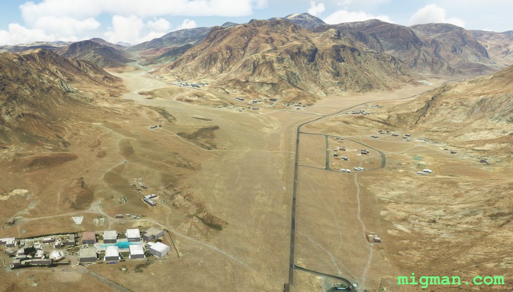 WP 2 - Hotel St. Catherine
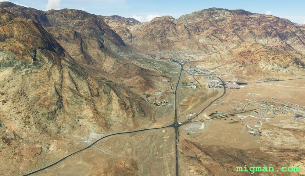 WP 3 - Town: Saint Catherine
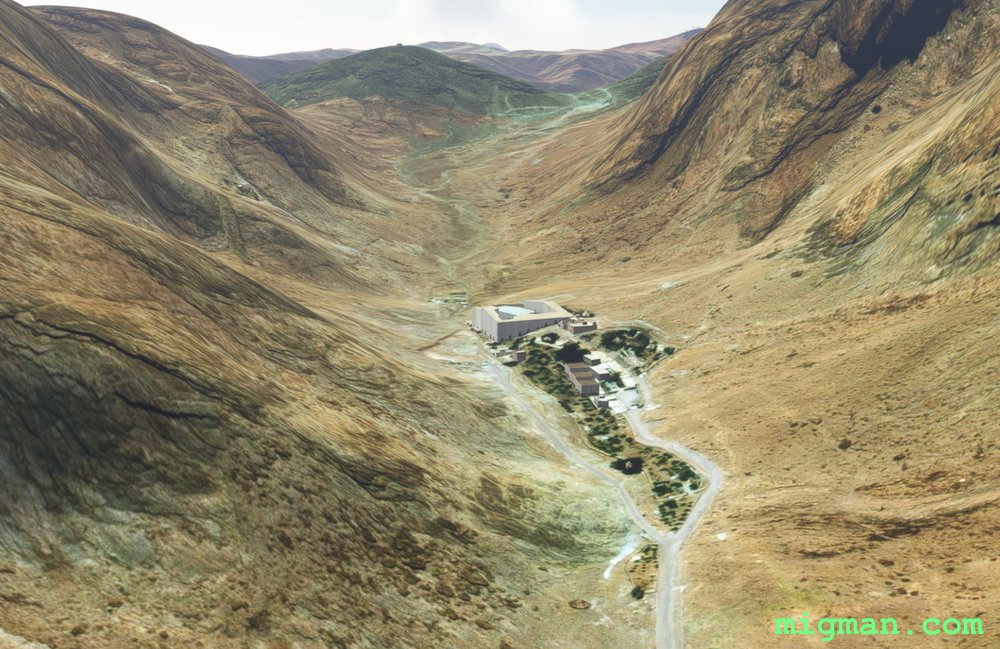 Saint Catherine's Monastery is in the valley to your leftWP 4 - Mountain: Mount Catherine - approaching from N
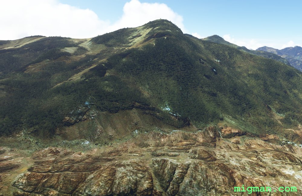 WP 4 - Mountain: Mount Catherine - western slopes
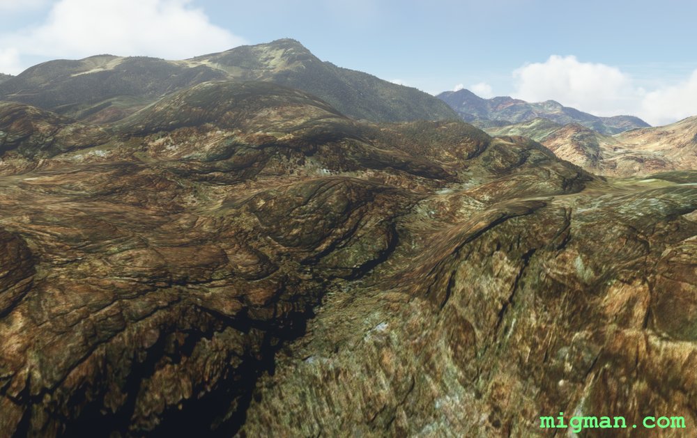
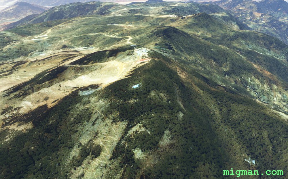 WP 4 - Mountain: Mount Catherine - summit
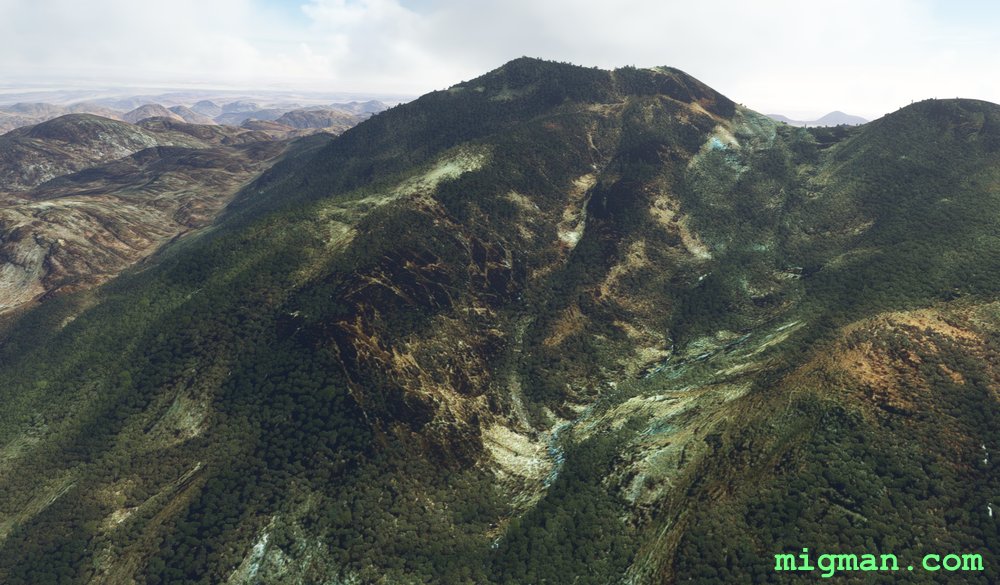 WP 4 - Mountain: Mount Catherine - western slopes
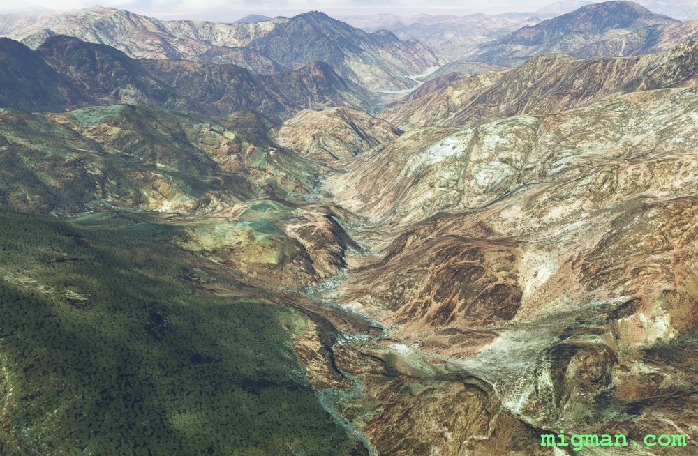 WP 5 - Valley
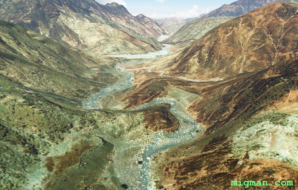 Low level in the valley
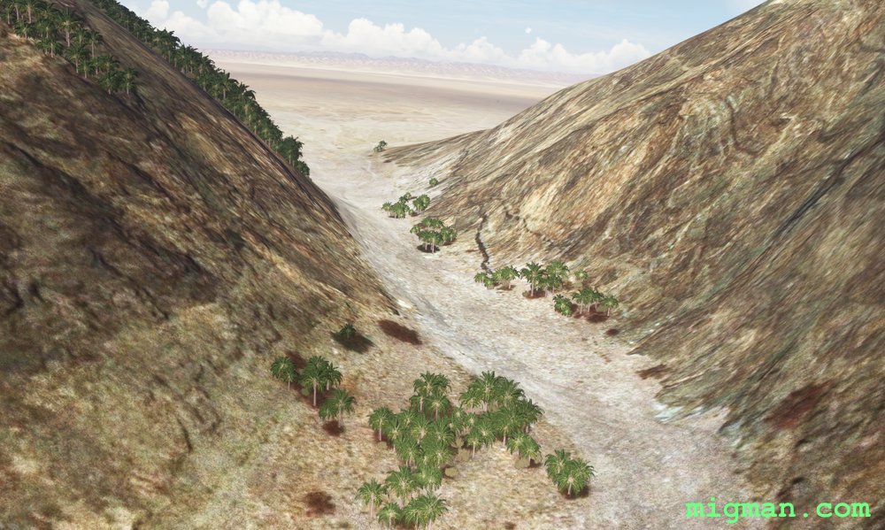 WP 5 - Valley exit | Fly SE along base of mountains
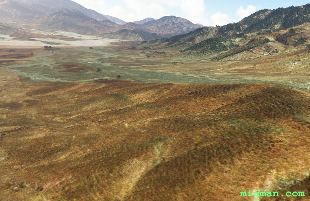
 WP 6 - Valley entrance
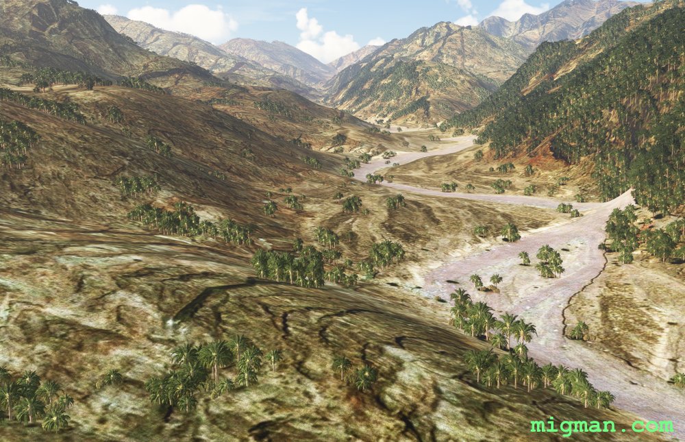
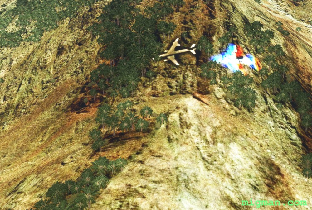 EASTER EGG: About 11.6 nm past WP5 there appears to be a crash site to the right of track
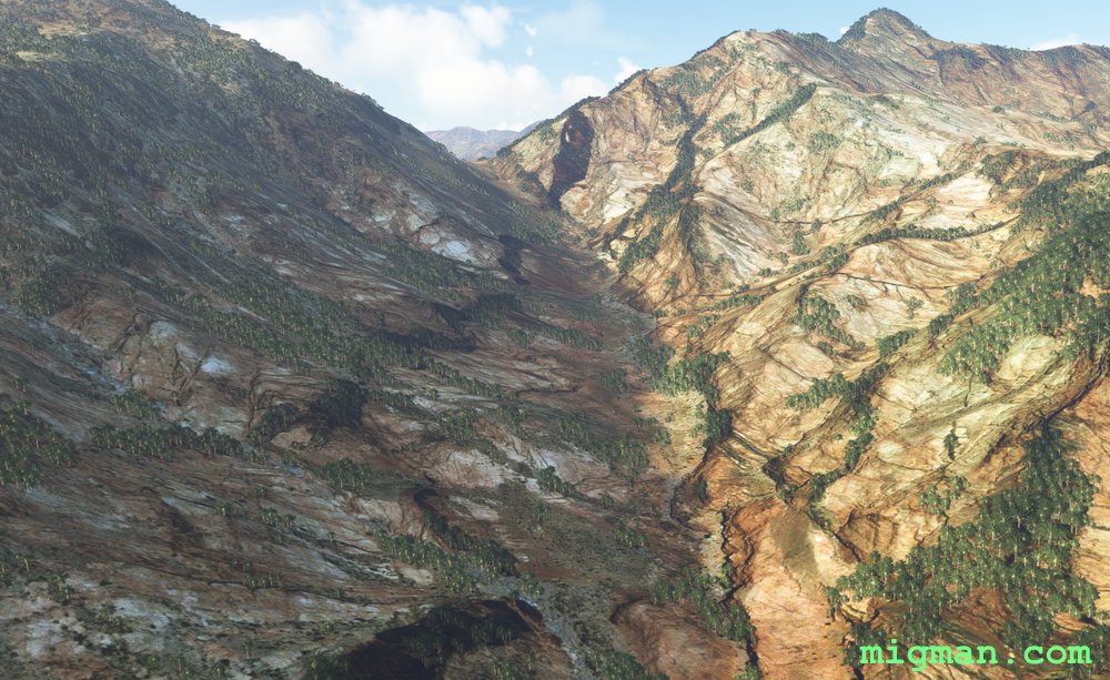
 WP 7 - Turn left HDG 349
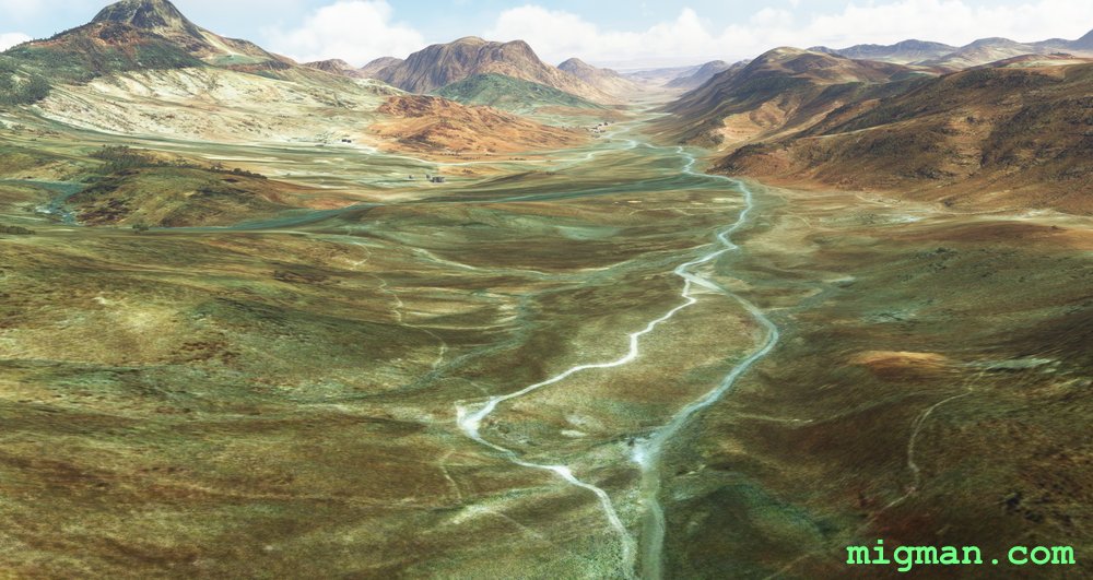 WP 8 - 2nm E of Mount Catherine
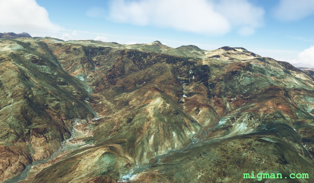 Mount Catherine eastern slopes
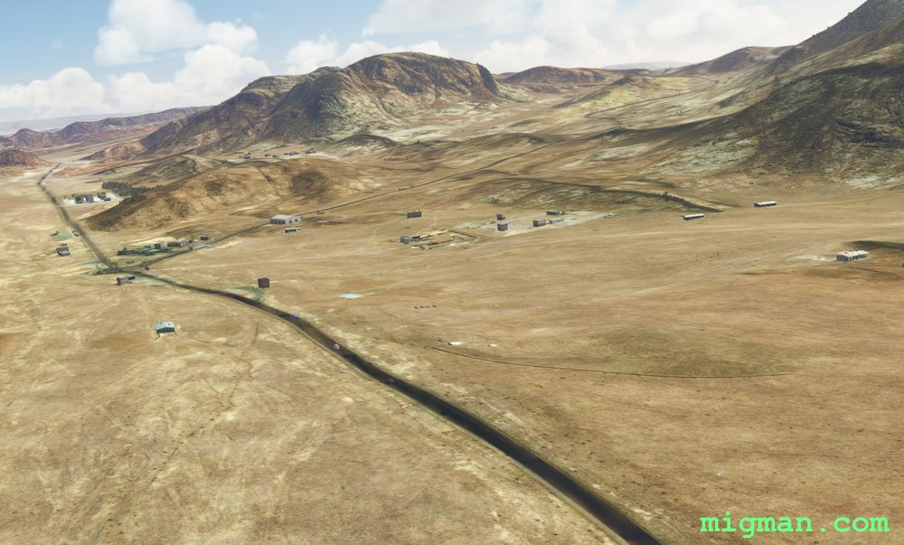 WP 9 - St. Katherine / Niweibaa Road (same as WP1)
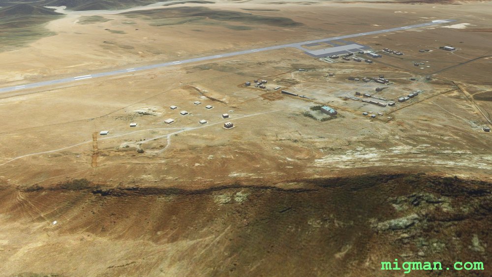 Saint Catherine HESC