Guinea
Air, Land and Sea
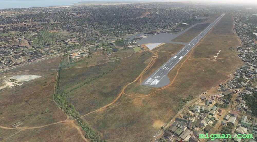
- Country: Guinea
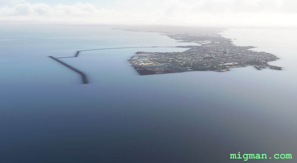
- Locale: Conakry
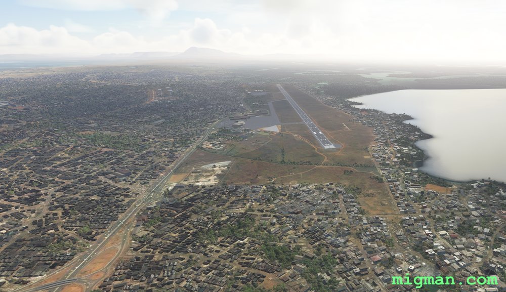
- Route: Gbessia (GUCY) to Gbessia (GUCY)
- Distance: 65 nm
- File name: guinea-GUCY-to-GUCY-VFR-210818
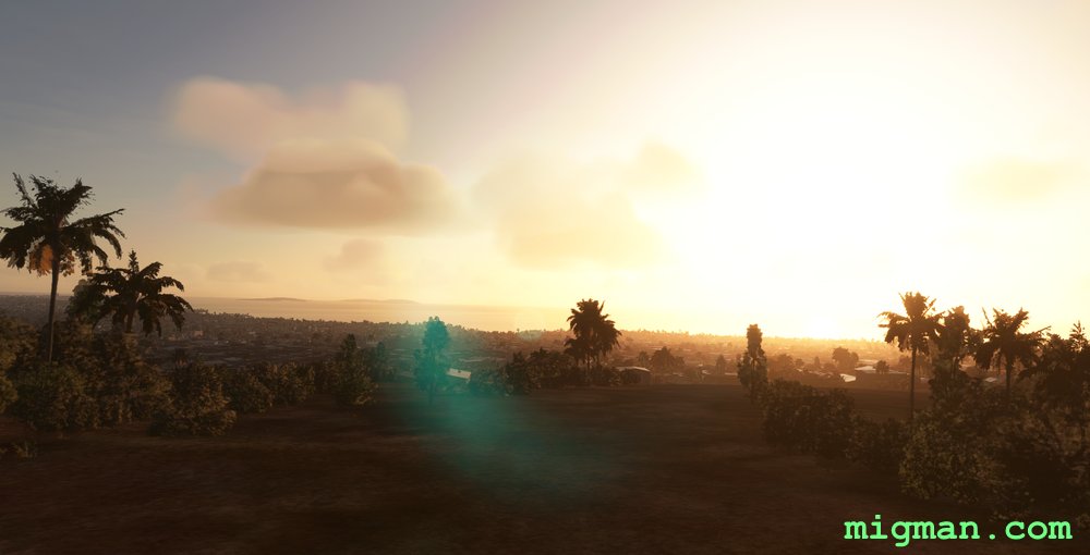
Fly along the Conakry peninsula with a side trip to a valley in the north.
Waypoints
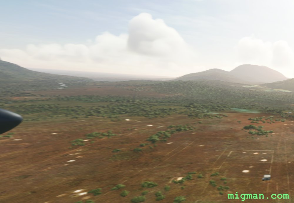
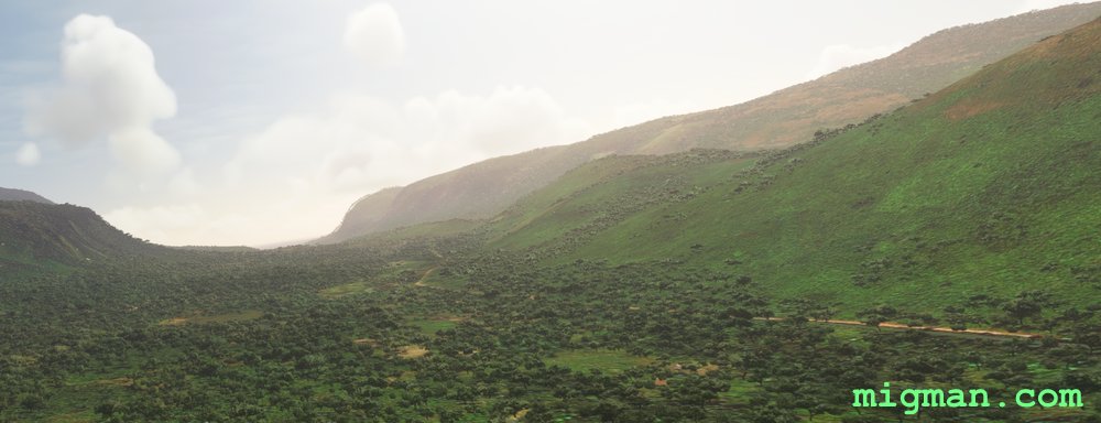
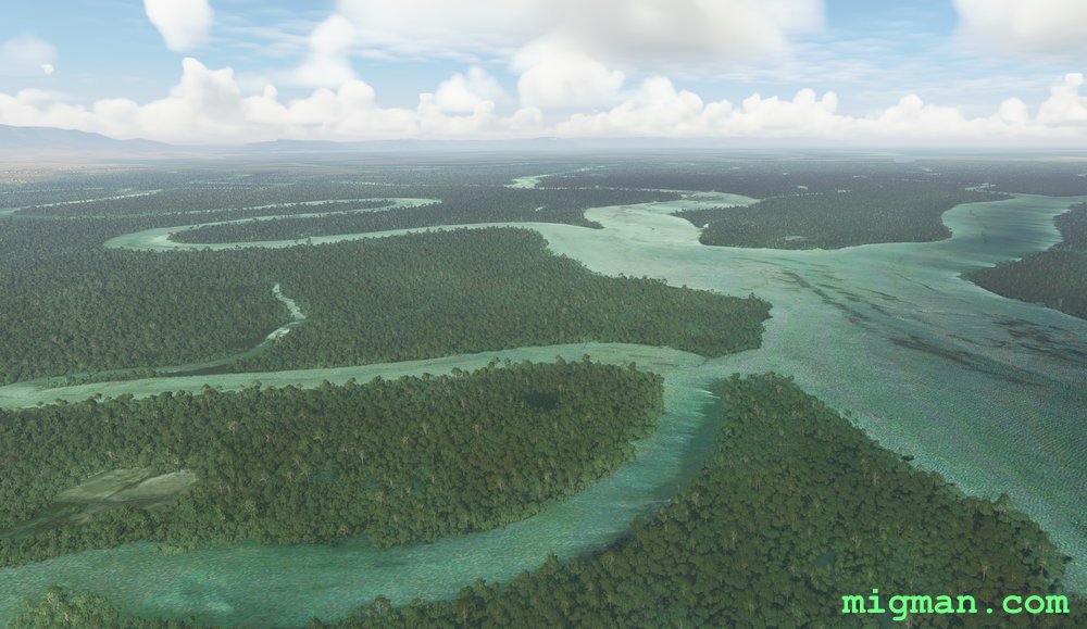
- WP 1 - Enter the valley at Coyah
- WP 2 - Left turn
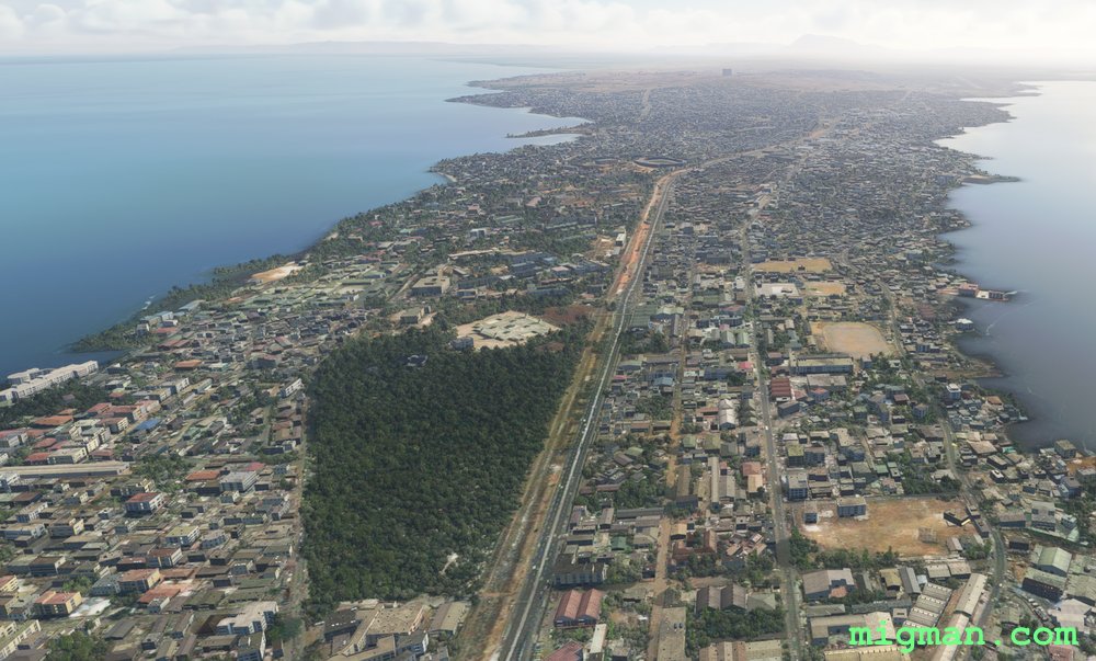
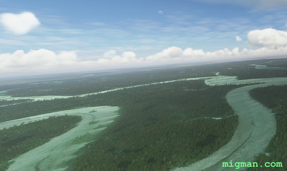
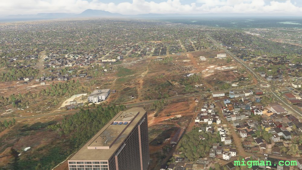
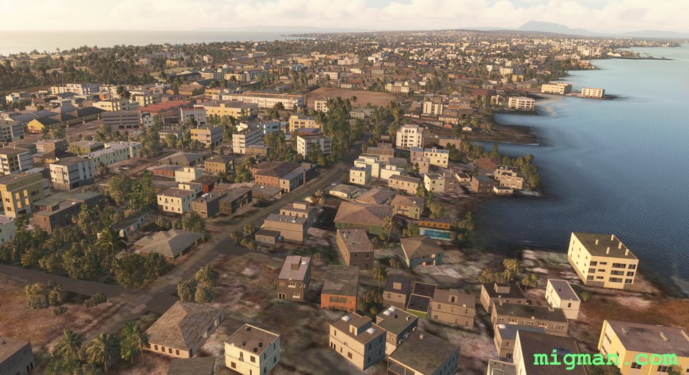
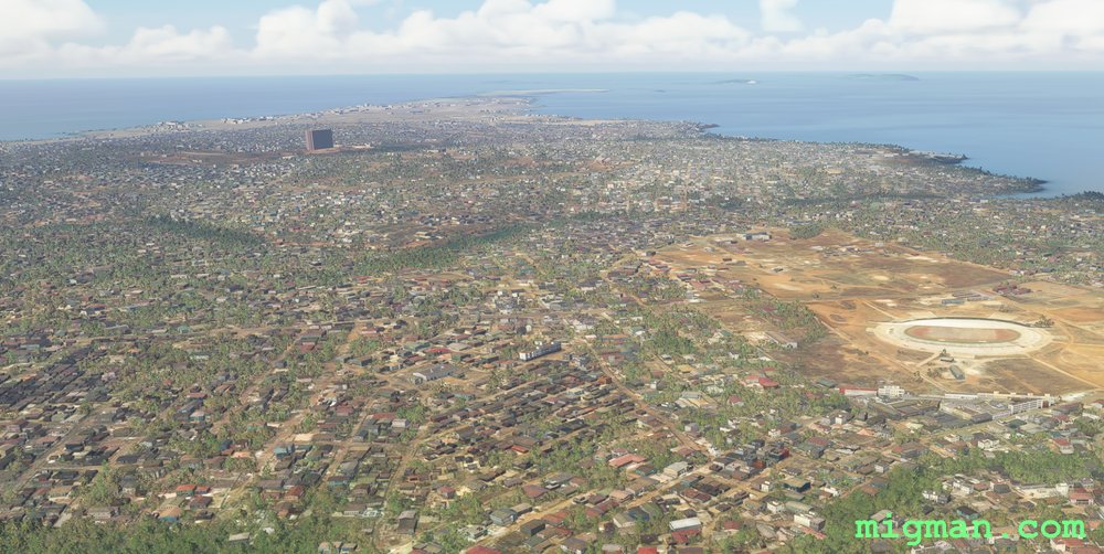
- WP 3 - SW through the valley at Bondekhori. Keep to the right of the 1000m hill. Fly down the cente of Conakry.
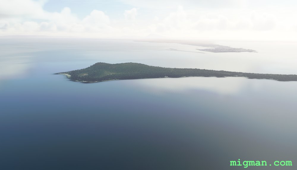
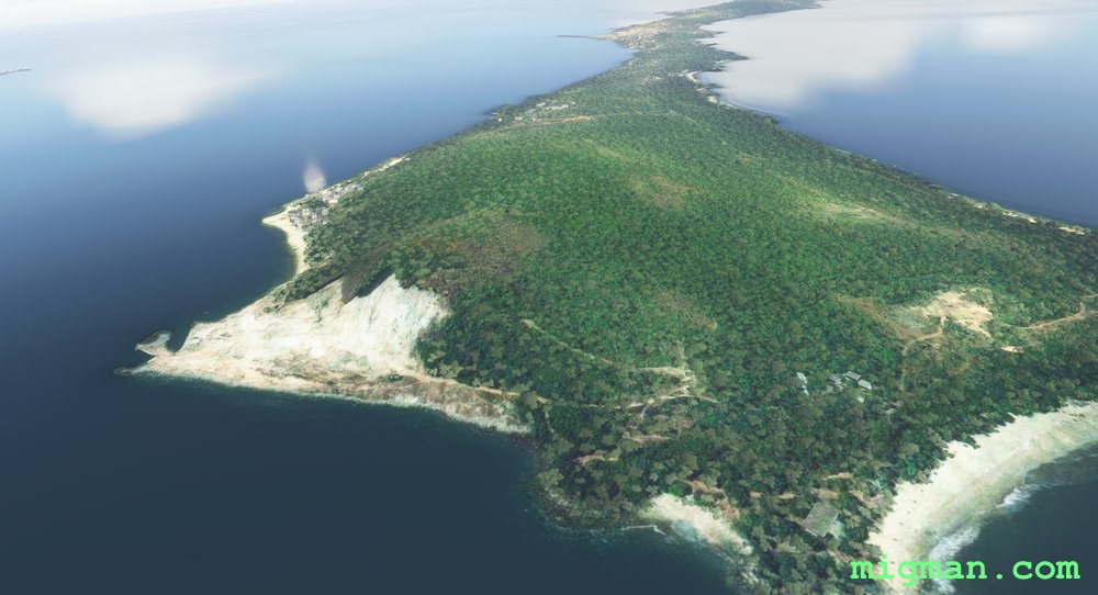
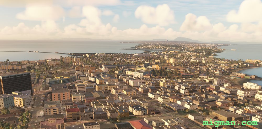
- WP 4 - Hill on the island at Soro.
- Turn NE back to Gbessia ap.
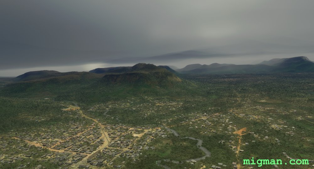 WP 1 - Enter the valley at Coyah
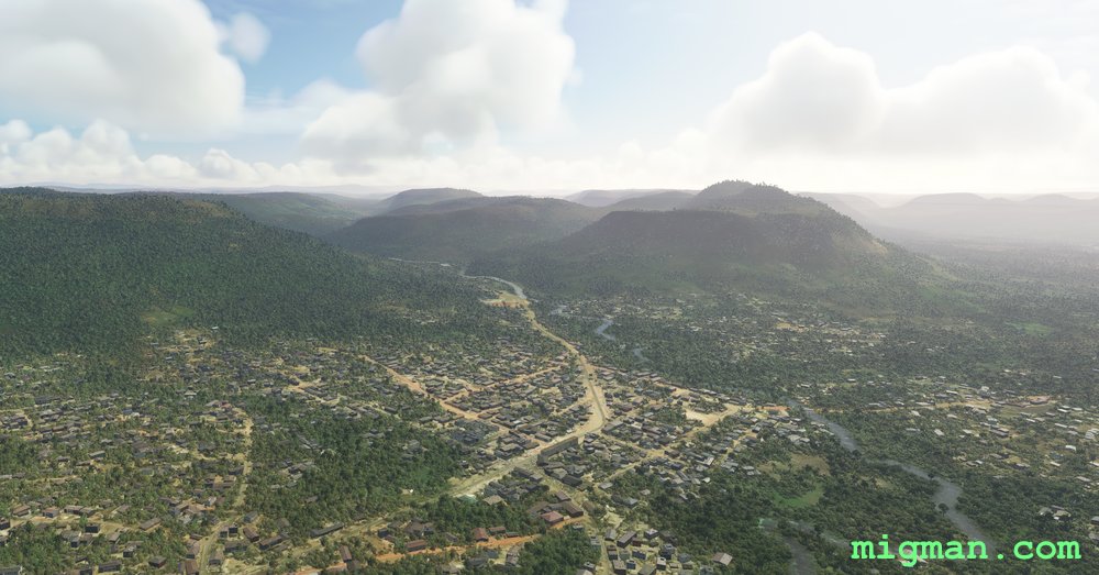 WP 1 - Enter the valley at Coyah
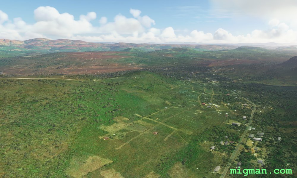 WP 2 - Left turn
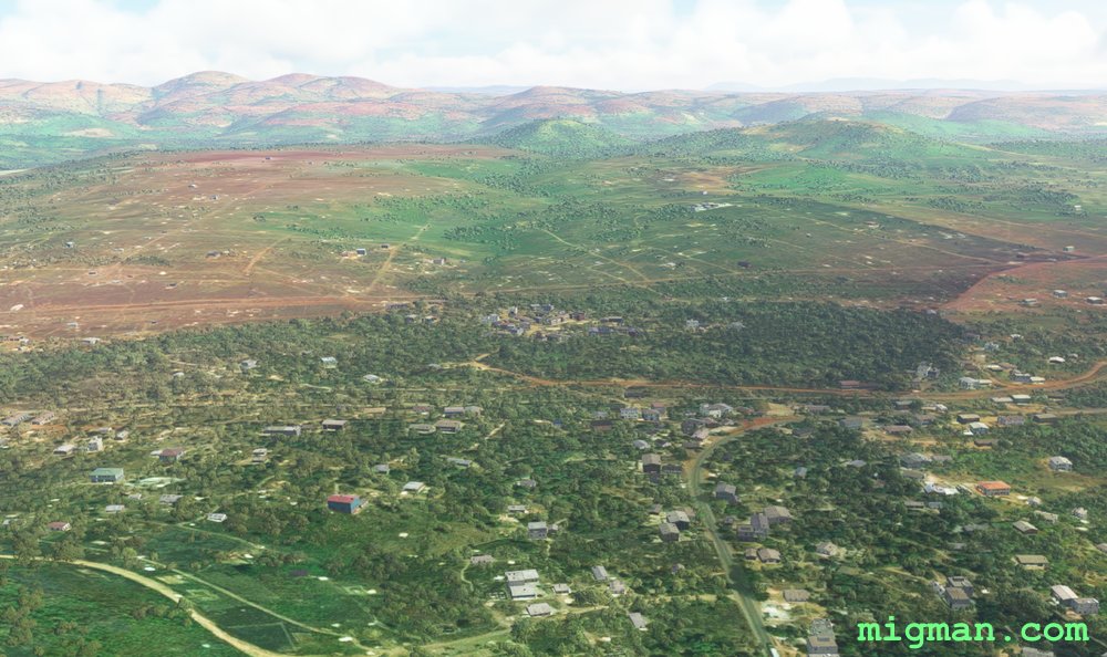 WP 2 - Left turn
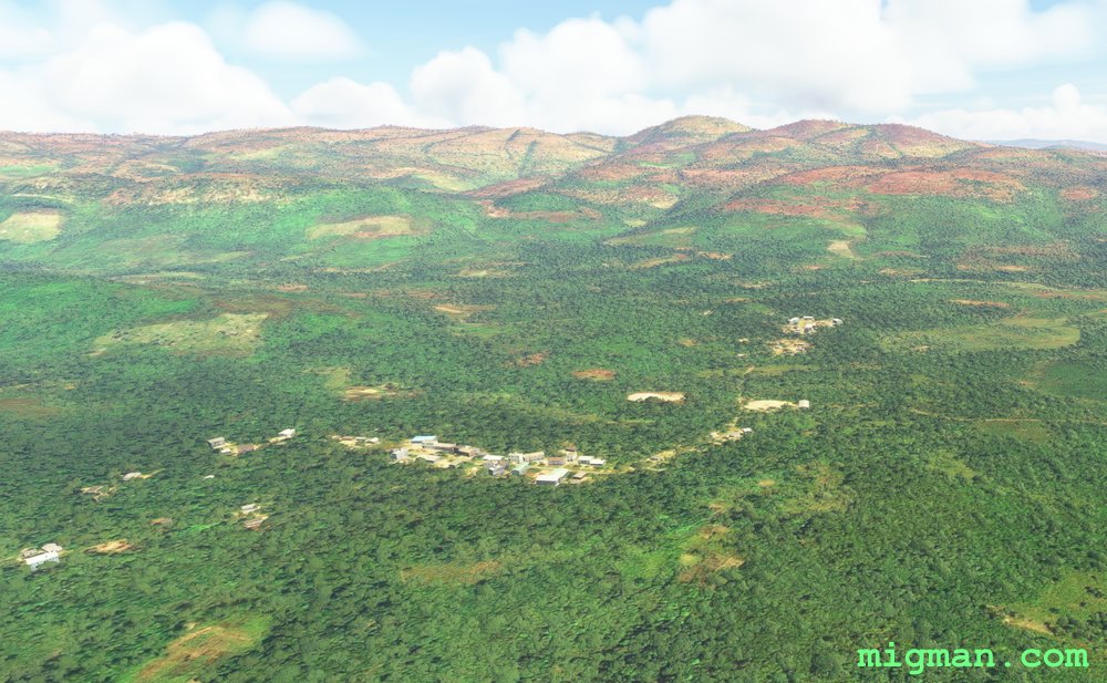 WP 3 - SW through the valley at Bondekhori. Keep to the right of the 1000m hill. Fly down the cente of Conakry.
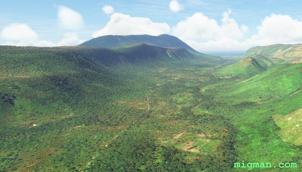 WP 3 - SW through the valley at Bondekhori. Keep to the right of the 1000m hill. Fly down the cente of Conakry.
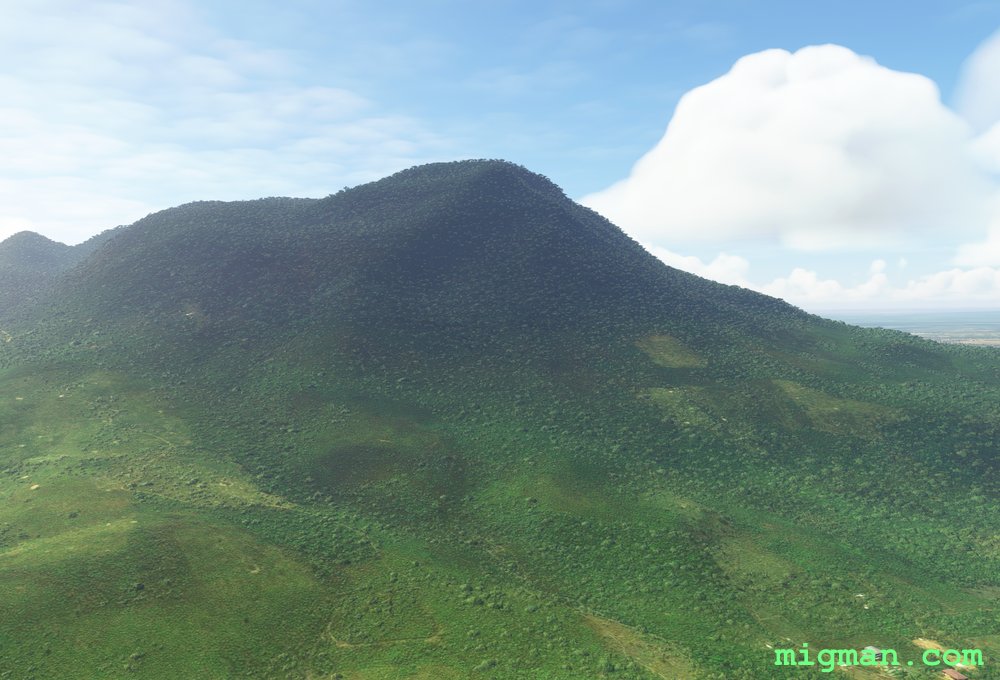

 WP 4 - Hill on the island at Soro.
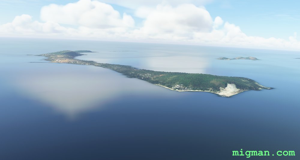 WP 4 - Hill on the island at Soro.