Haiti
The Colours of Nan Fort
Fly from Cap Haitien on Haiti's north coast to the westernmost point on the island, about 45 west of Cuba. Start by flying west over the rugged terrain of the Gros-Morne Arrondissement (adminstrative area), Nan Palmiste, then follow the spectacular coastline south and east back to Gonaives.
Return trips: 68 nm: Gonaives | 101 nm: Gonaives and Nan Fort | 162 nm: Entire route
- Country: Haiti
- Locale: Cap Haitien
- Route: Cap Haitien MTCH to Cap Haitien MTCH
- Distance: 68, 101, 162 nm
- File name: haiti-MTCH-to-MTCH-VFR-cap-haitien-220630
Waypoints
- WP 1 - Haut Leve | ~ 12 nm west of Cap Haitien Airport
- WP 2 - End of the plateau at Nan Francois
- WP 3 - Valley entrance 1 m east of Ti Riviere
- WP 4 - Peninsula near Chapelle St Pierre | Follow the coast south
- WP 5 - Turn point
- WP 6 - La Plateforme
- WP 7 - Nan Fort
- WP 8 - Bay of Gonaives
 WP 1 - Haut Leve | ~ 12 nm west of Cap Haitien Airport
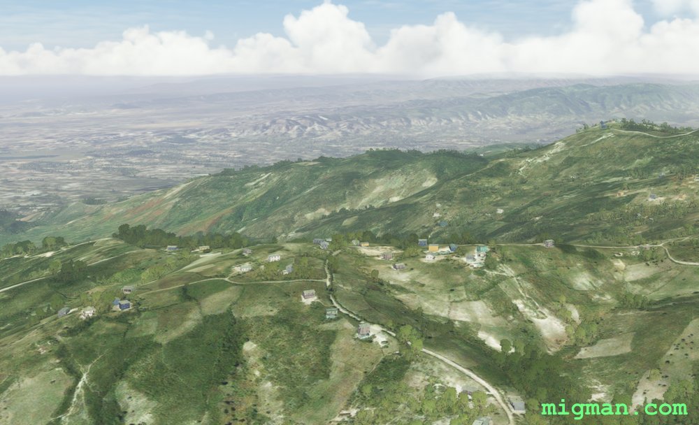 WP 2 - End of the plateau at Nan Francois
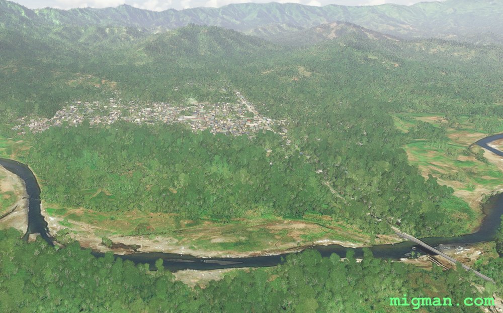
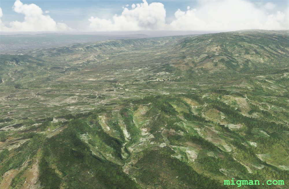 WP 3 - Valley entrance 1 m east of Ti Riviere
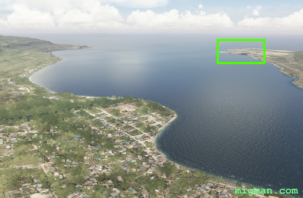 WP 4 - Peninsula near Chapelle St Pierre | Follow the coast south
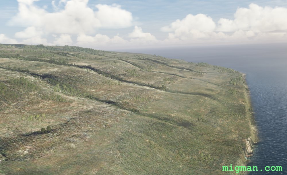 WP 5 - Turn point
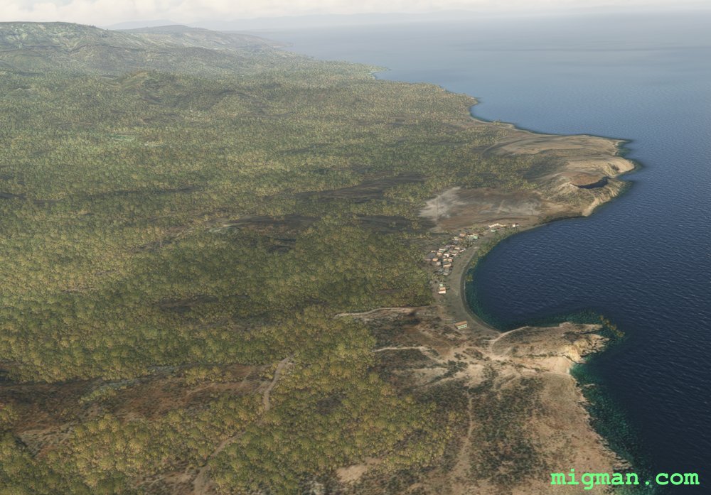 WP 6 - La Plateforme
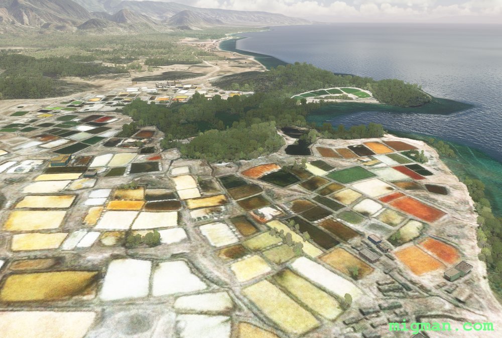
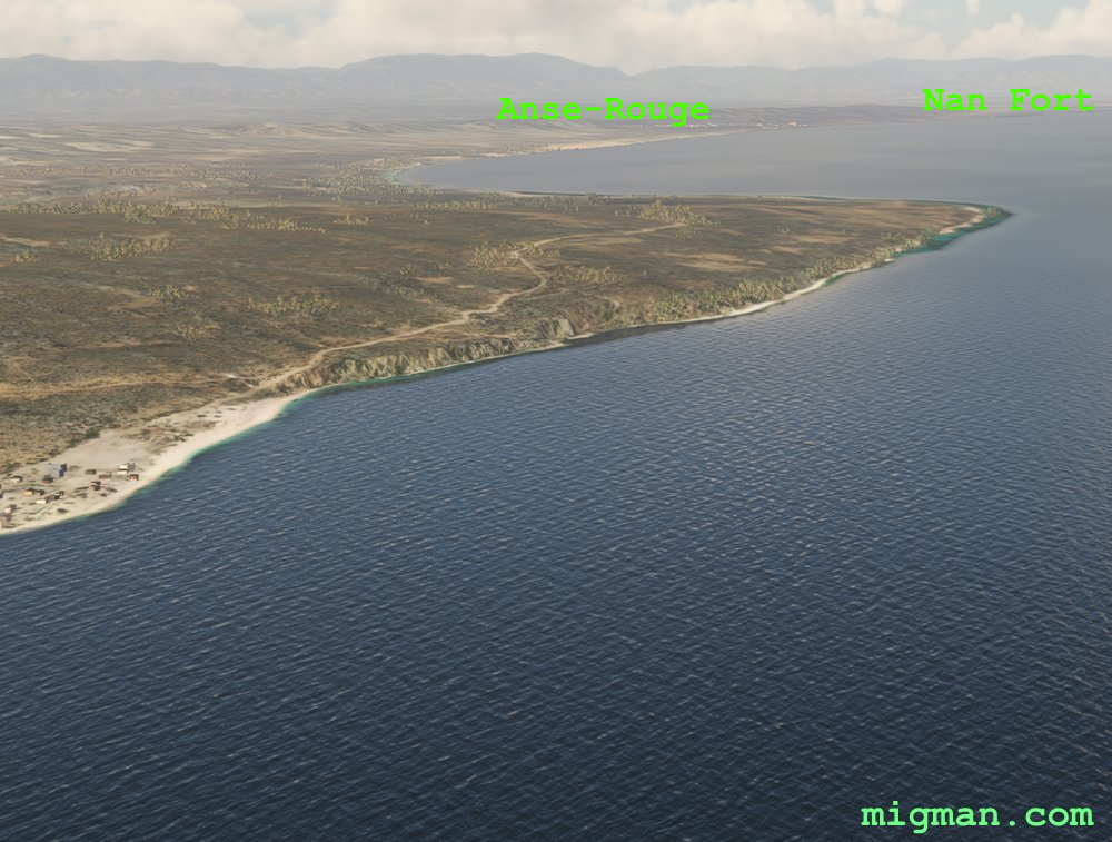 Anse-Rouge and Nan Fort
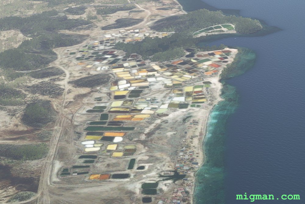 WP 7 - Nan Fort
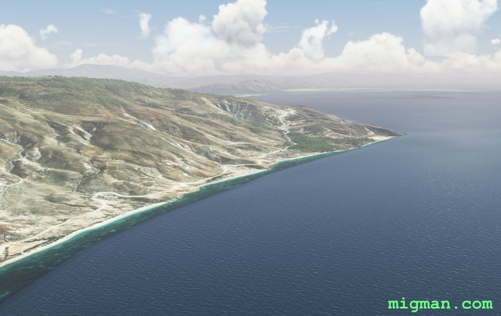 WP 8 - Bay of Gonaives
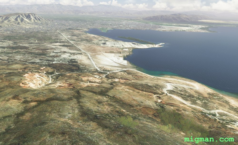 Bay of Gonaives
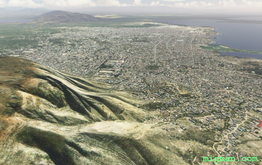 GonaivesThe Colours of Nan Fort
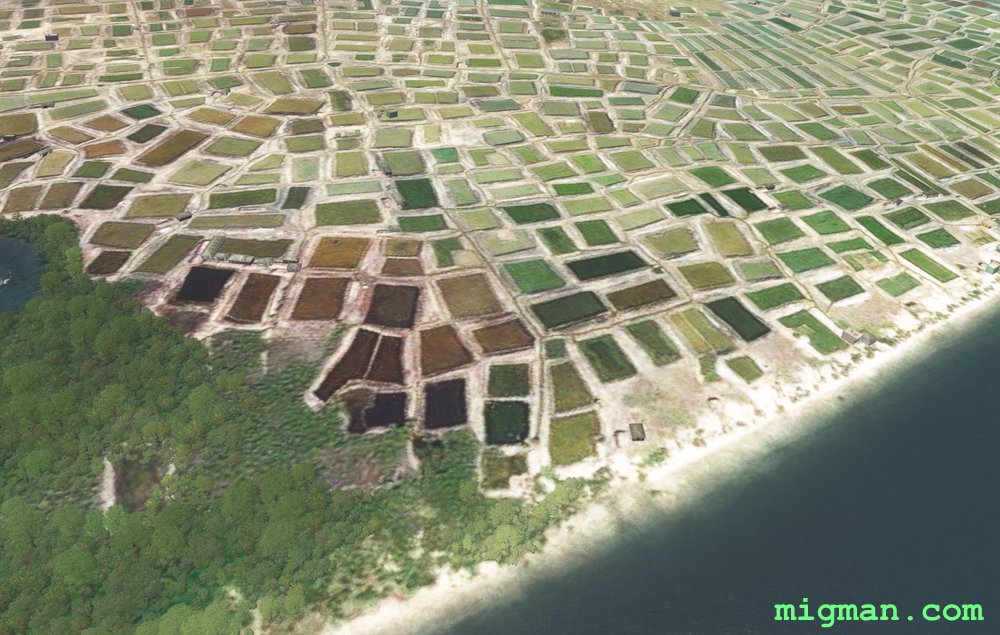 The Colours of Nan Fort
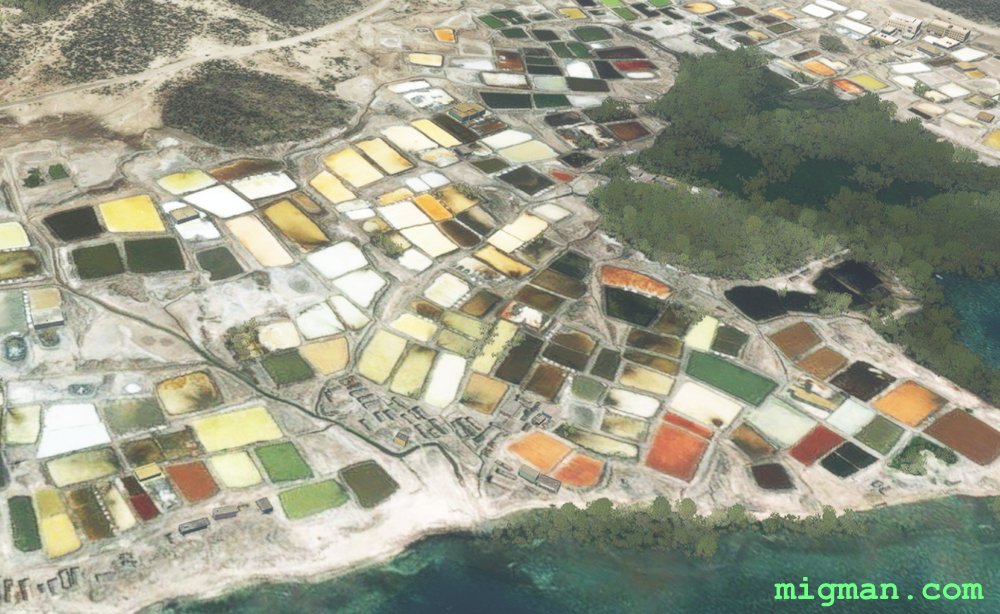 The Colours of Nan Fort
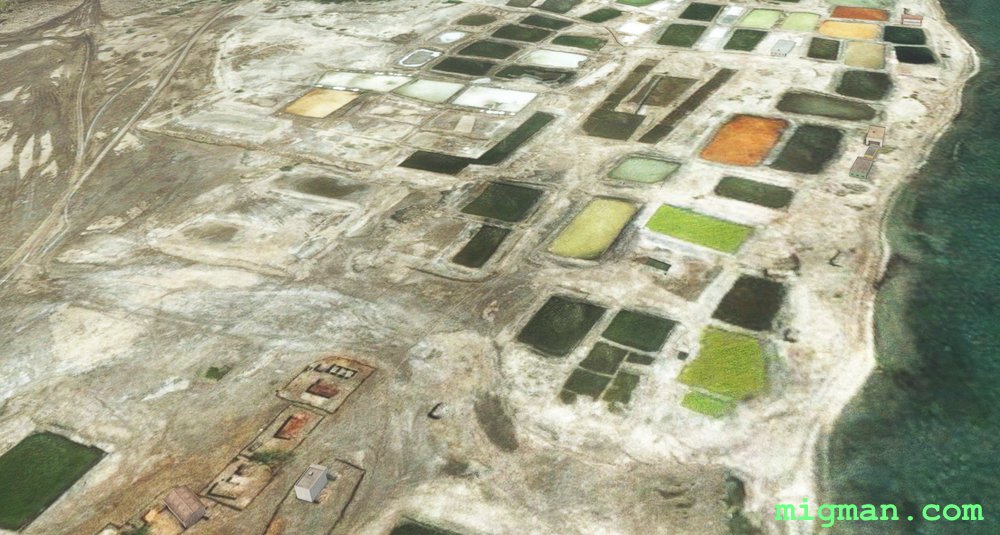 The Colours of Nan Fort
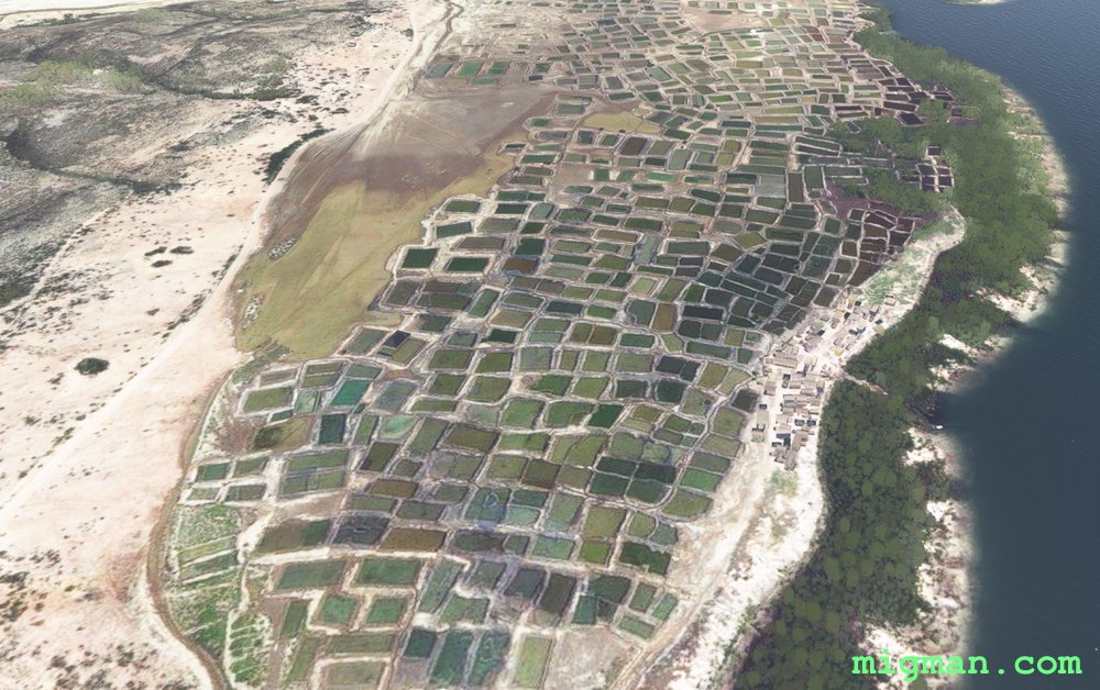 The Colours of Nan Fort