
Haiti
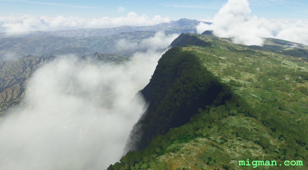
Pic la Selle
Fly out of Port-au-Prince to the highest peak in Haiti, a challenging 9 hour drive, or a short and comfortable flight in your aircraft!
Return flights: 48 nm: Direct to Malpasse Dam | 49 nm: Pic la Selle via WP 1,2,3,4 and straight back | 65 nm: Entire route
- Country: Haiti
- Locale: Port au Prince
- Route: Toussaint Louverture MTTP to Toussaint Louverture MTTP
- Distance: 48, 49, 65 nm
- File name: haiti-MTTP-to-MTTP-VFR-pic-la-selle-220630
Waypoints
- WP 1 - Peak: Camp Zoi
- WP 2 - South to the main ridge
- WP 3 - Mountain: Pic la Selle
- WP 4 - Malpasse Dam
- WP 5 - Town of Decayette on Lake Azuei
- WP 6 - Lake: Trou Caiman
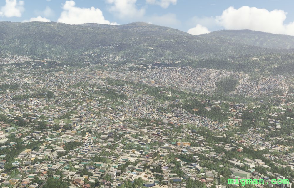 WP 1 - Peak: Camp Zoi
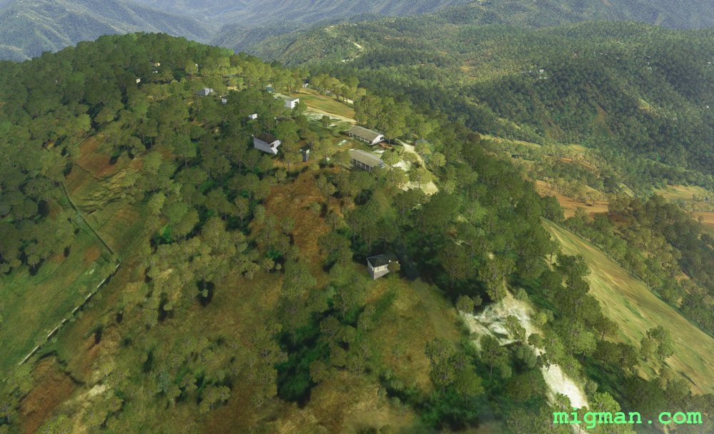 WP 1 - Peak: Camp Zoi
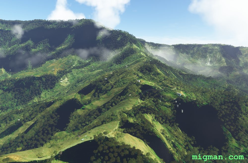 WP 2 - South to the main ridge
 WP 3 - Mountain: Pic la Selle
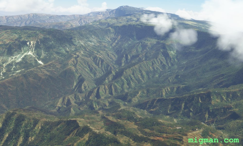 WP 3 - Mountain: Pic la Selle
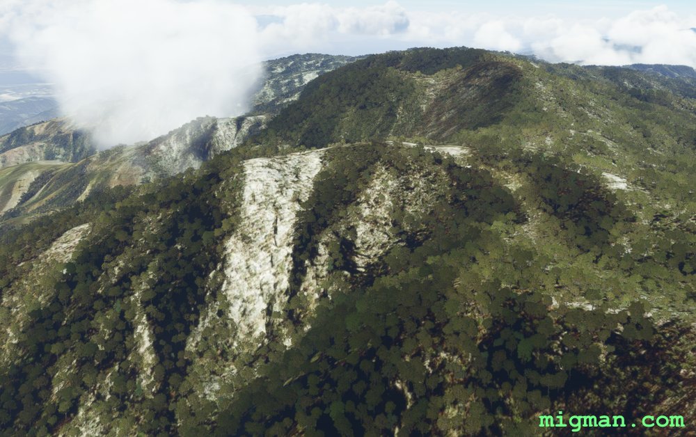 WP 3 - Mountain: Pic la Selle
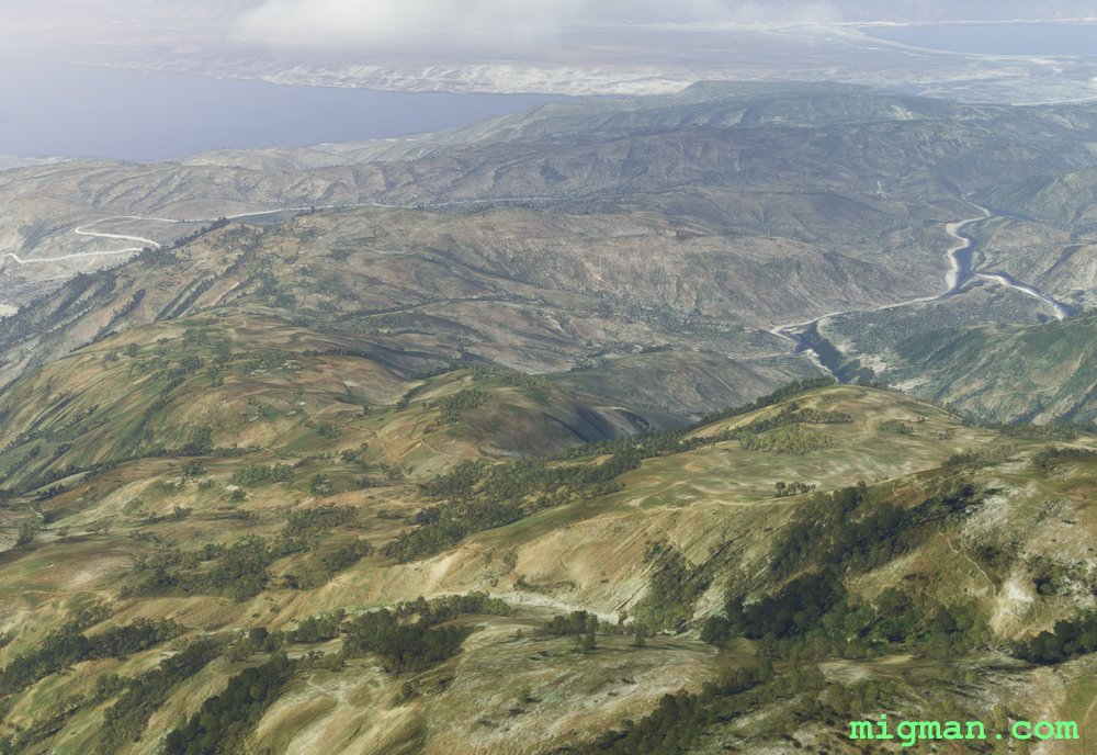 Descending from Pic la Selle to Malpasse Dam
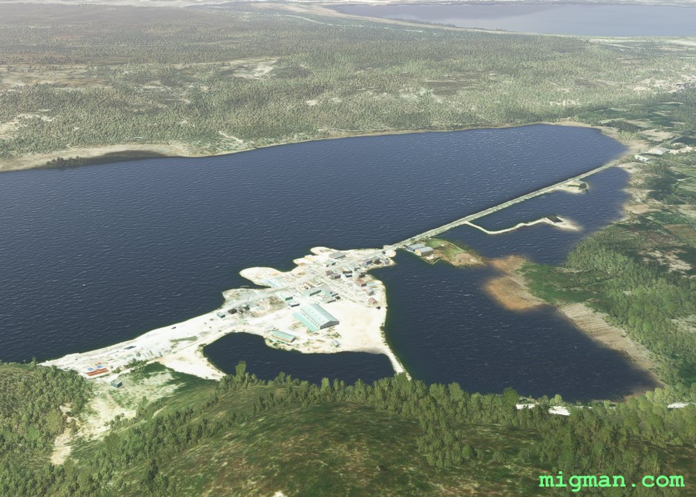 WP 3 - Malpasse Dam
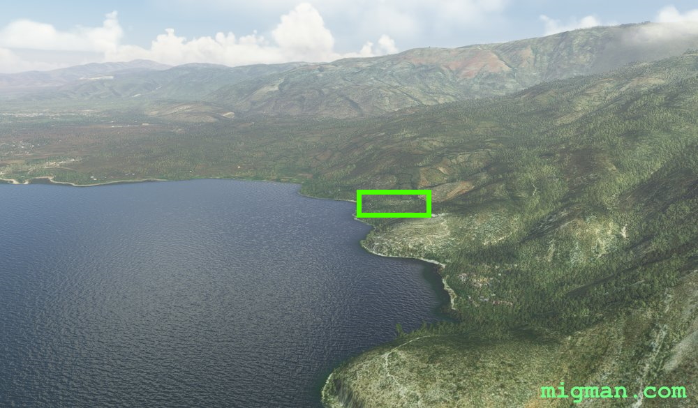 WP 4 - Town of Decayette on Lake Azuei
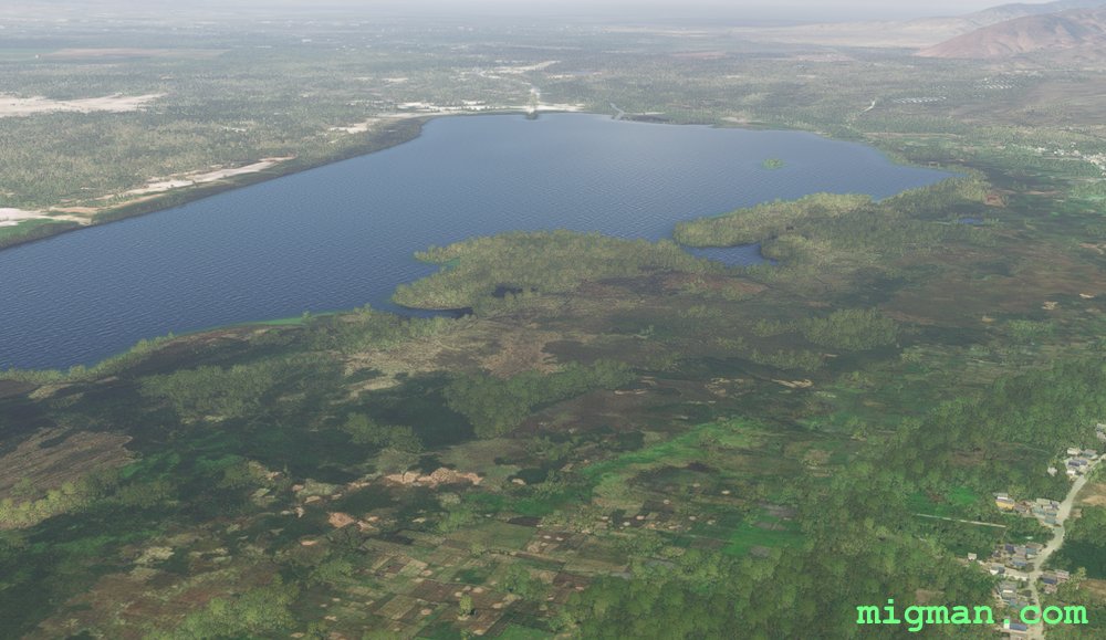 WP 5 - Lake: Trou Caiman
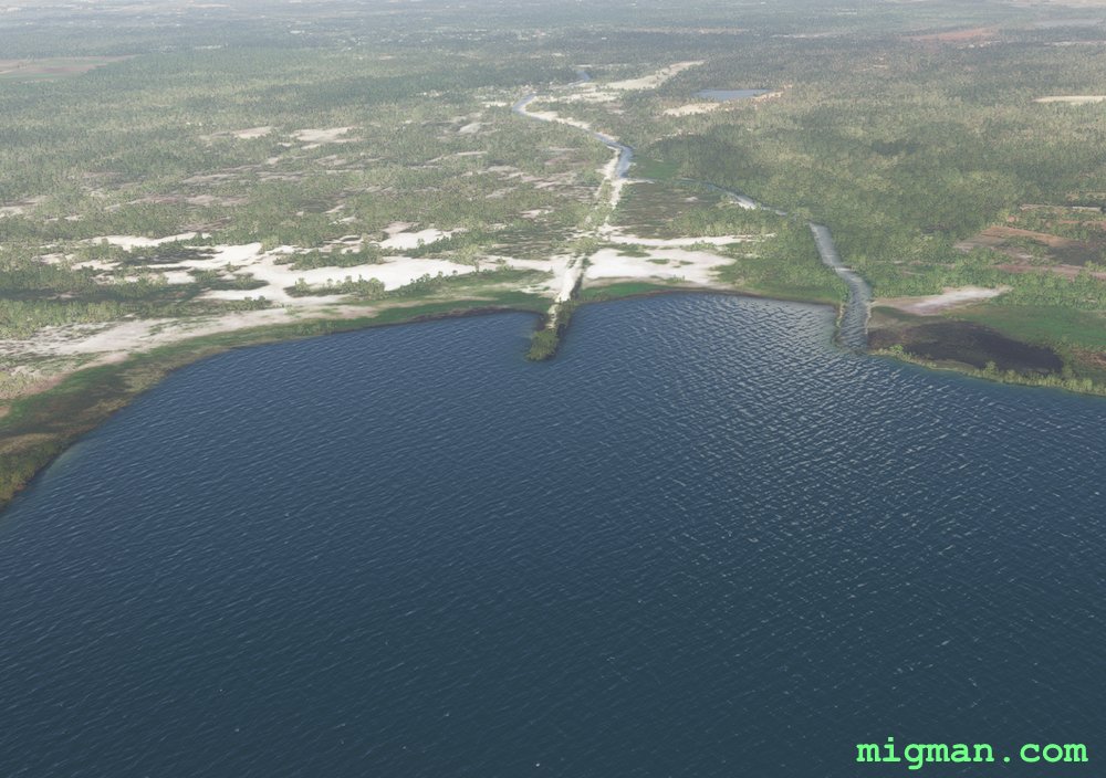 WP 5 - Lake: Trou Caiman
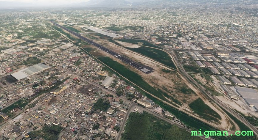 Toussaint Louverture MTTP
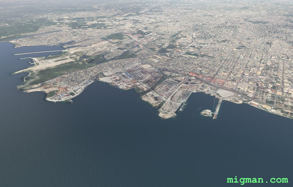 Port-au-Prince