Kashmir
Srinagar to Mount Kolahoi
Fly from the capital of Kashmir, Srinagar to the tallest point in Kashmir Valley: Mount Kolahoi (17,800 feet).
NOTAM. Srinagar RWY elevation is 5,453 ft. Mt. Kolahoi summit is 17,800ft.
- Country: Kashmir
- Locale: Srinagar
- Route: Srinagar (VISR) to Srinagar (VISR)
- Distance: 83 nm
- File name: kashmir-VISR-to-VISR-VFR-srinagar-220203
Waypoints
- WP 1 - Dal Lake
- WP 2 - Gandarbal | Enter the valley
- WP 3 - Follow the valley ESE
- WP 4 - Follow the valley NE
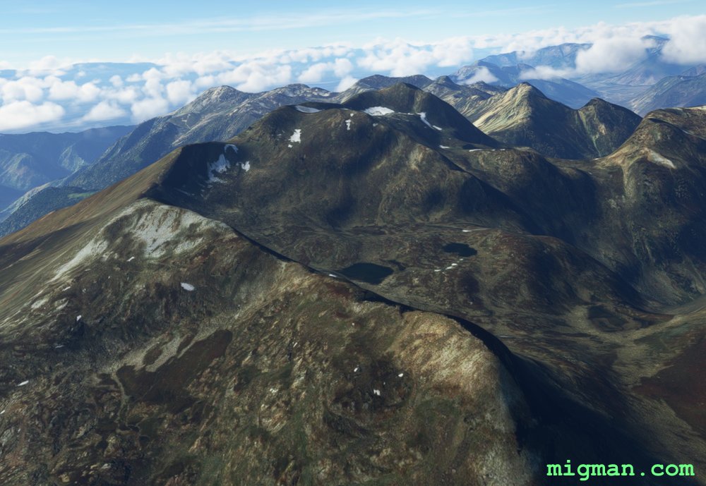
- WP 5 - Valley intersection | Turn right and climb
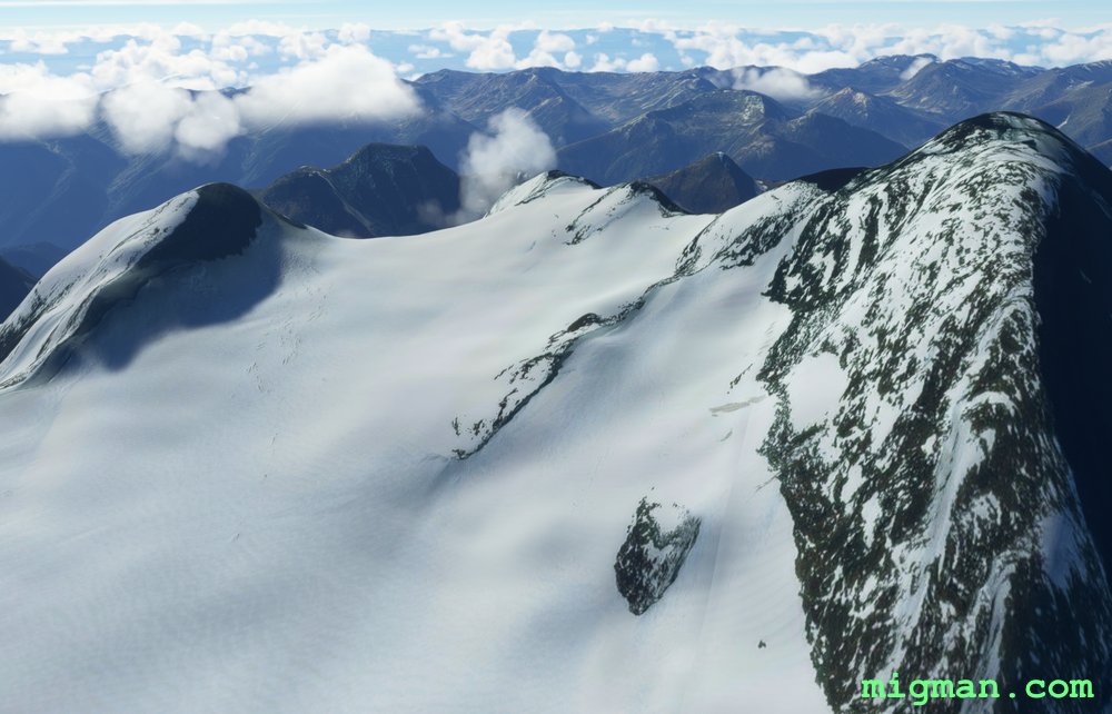
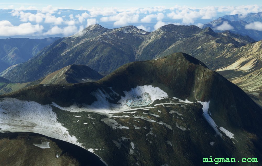
- WP 6 - Mount Kolahoi | Climb the glacier and turn to HDG 270 for 21nm
- WP 7 - Sarband Lake
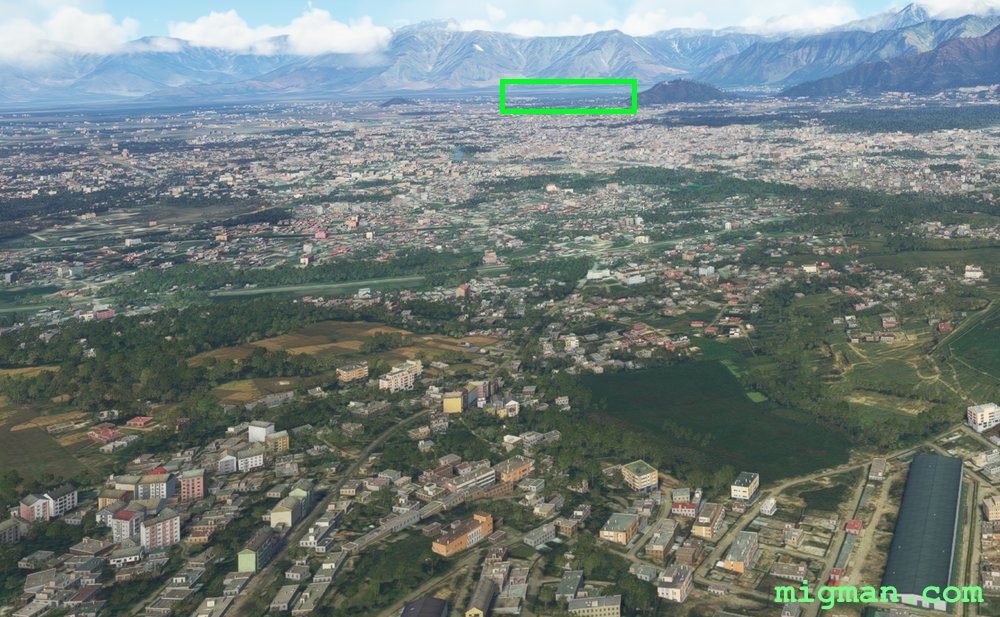 WP 1 - Dal Lake
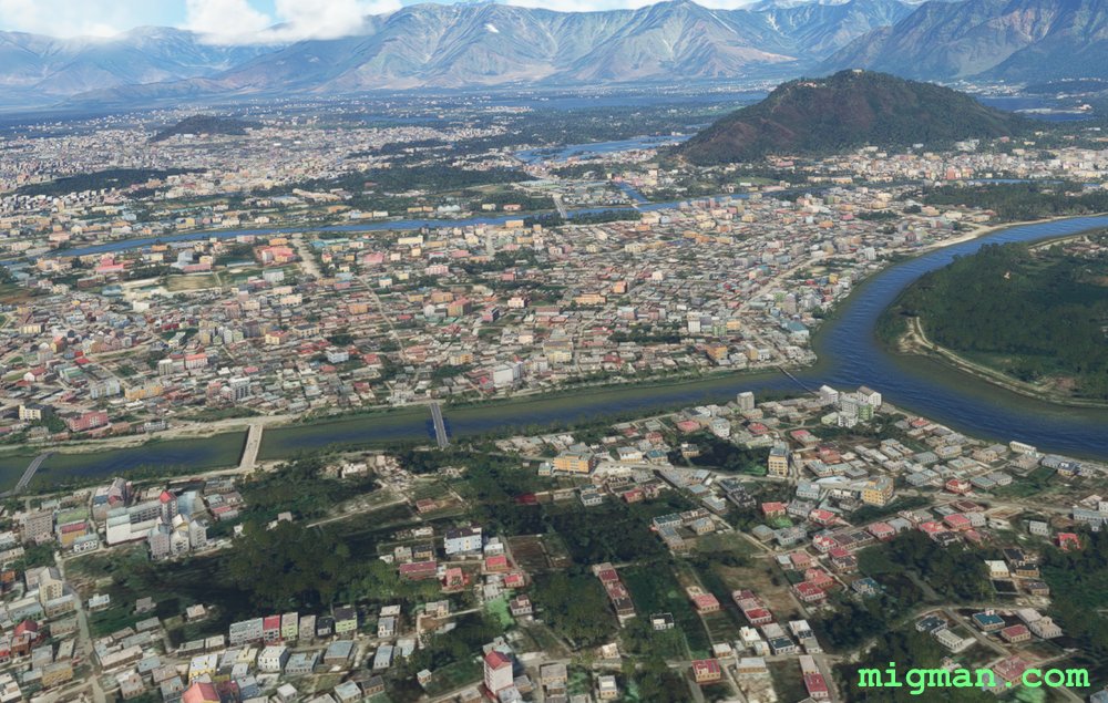 WP 1 - Dal Lake
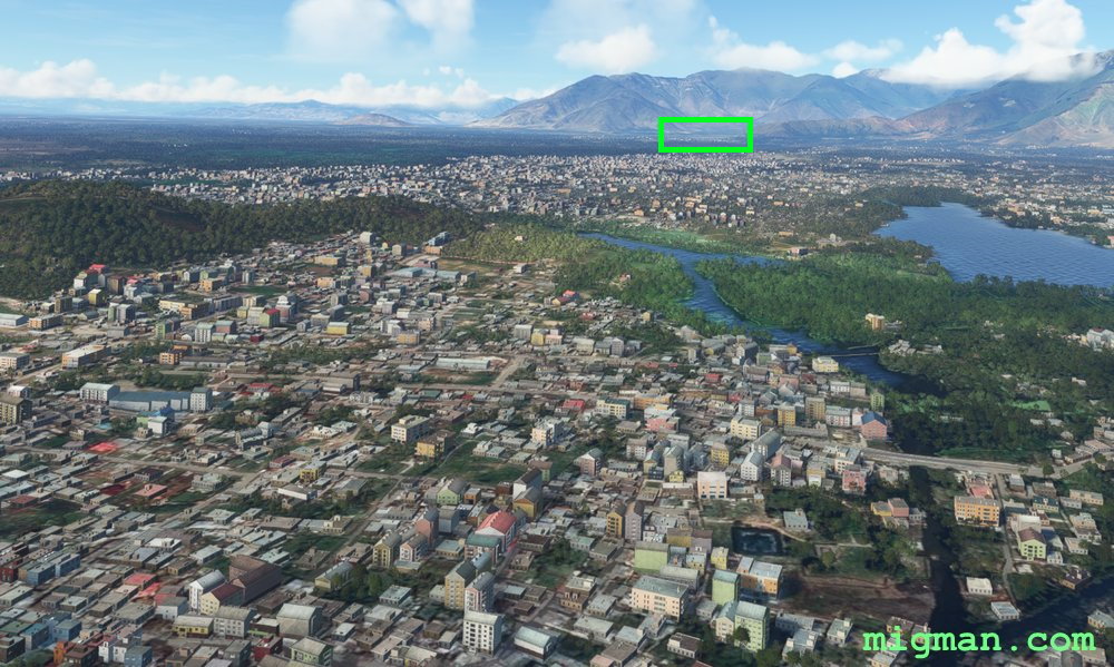 WP 2 - Gandarbal
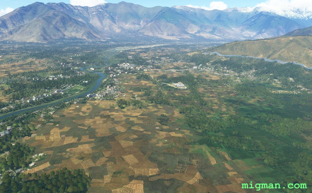 WP 2 - Gandarbal | Enter the valley
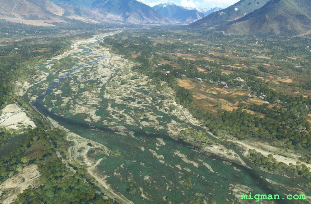 WP 2 - Gandarbal | Enter the valley
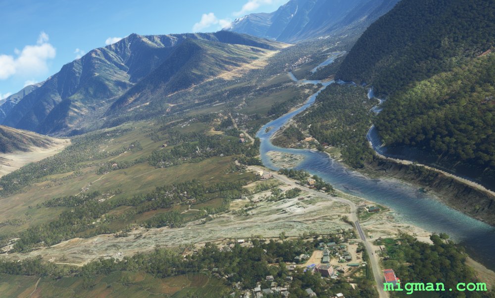 WP 3 - Follow the valley ESE
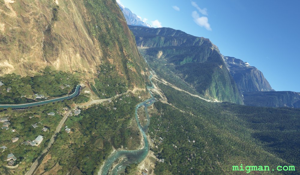 WP 4 - Follow the valley NE
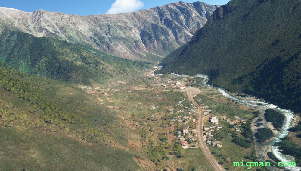 WP 5 - Valley intersection
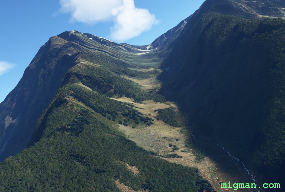 Turn right and climb
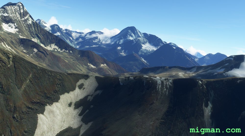 WP 6 - Mount Kolahoi
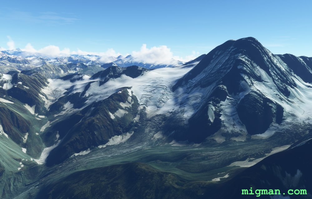 Climb the glacier and turn to HDG 270 for 21nm
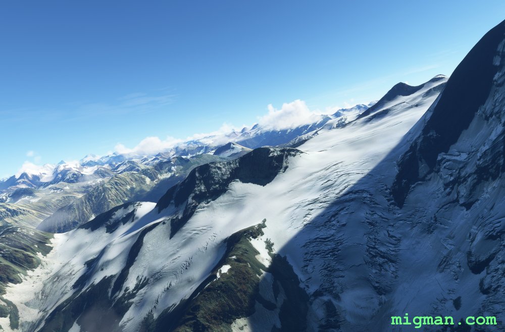 Climb the glacier and turn to HDG 270 for 21nm
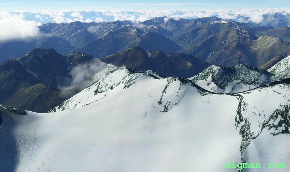 Looking west with the summit of Mt. Kolahoi on our right.
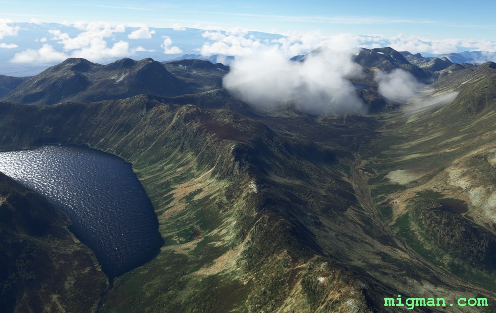
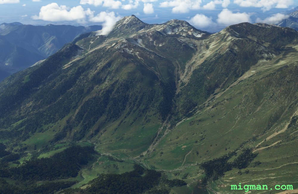
 WP 7 - Sarband Lake
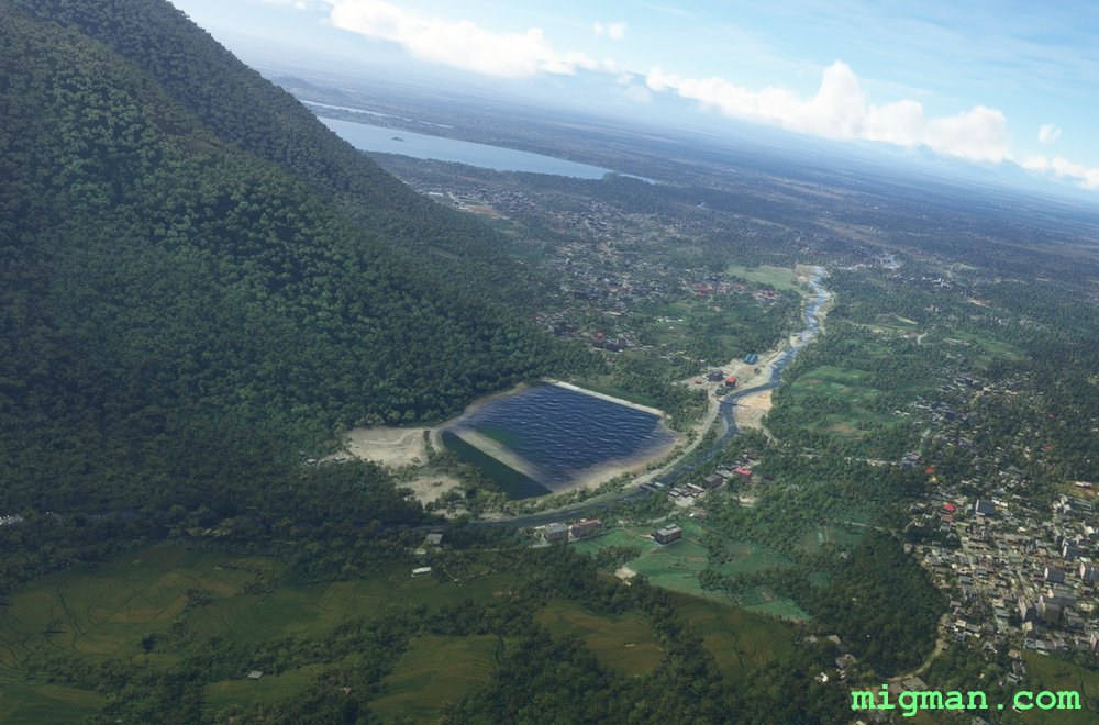 WP 7 - Sarband Lake
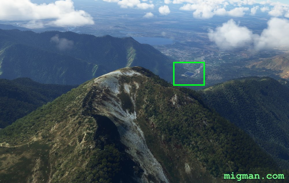
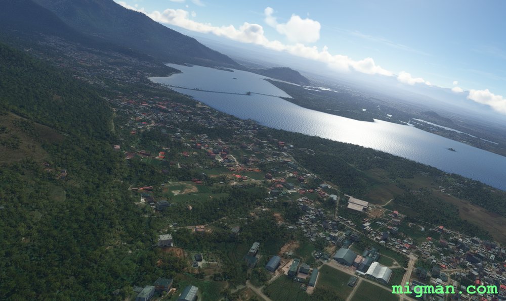 Dal Lake
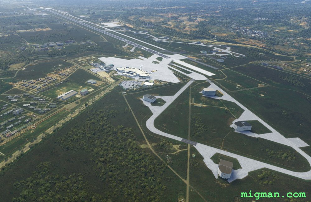 Srinagar (VISR)
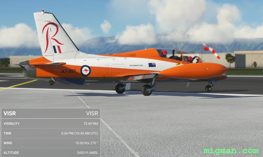 Srinagar (VISR)
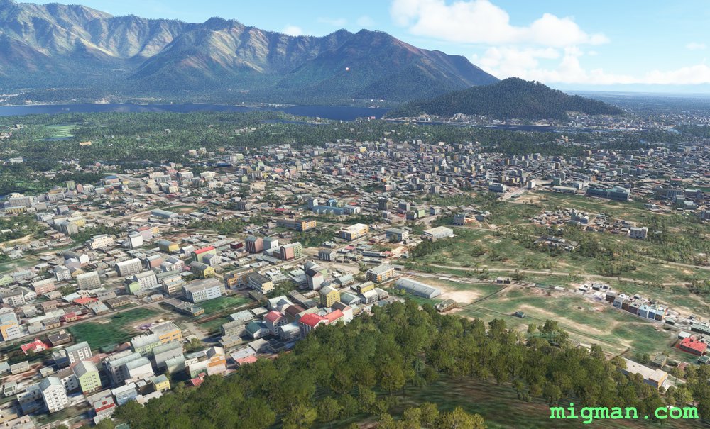 Srinagar
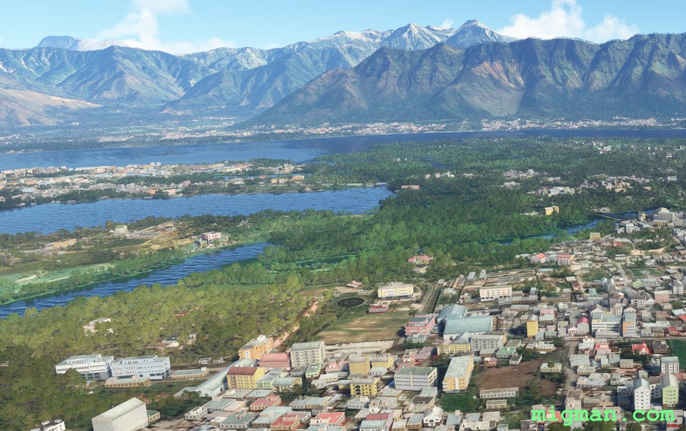 Srinagar
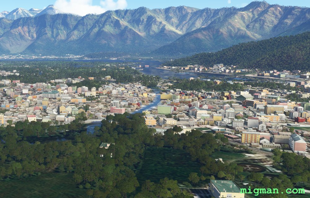 Srinagar
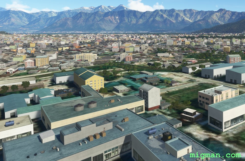 Srinagar