Norway
Pining for the Fjords
This is quite a long flight at 100nm. In essence it's very simple, flying along two almost parallel fjords. NE for 20nm along the first and SW for 25 nm along the second.
Note: Be aware that the water in these fjords is above sea level. At the city of Tao the land is about 500ft and the water beyond around 300ft.
- Country: Norway
- Locale: Stavanger
- Route: Sola (ENZV) to Sola (ENZV)
- Distance: 100 nm
- File name: norway-ENZV-to-ENZV-VFR-sola-211229
Waypoints
- WP1 - HDG 040 for 13nm | Over the city of Stavanger | Feet wet | Feet dry at the city of Tao
- WP 2 - Follow the fjord NE
- WP 3 - 10 nm cross country HDG 085
- WP 4 - Follow Storevatnet lake HDG 193 to the dam
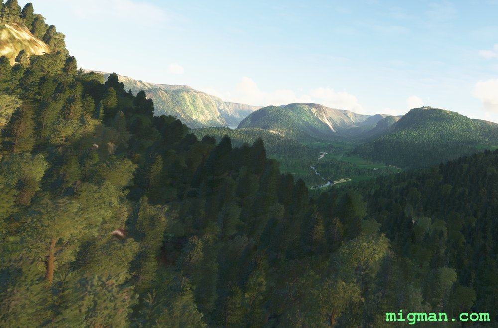
- WP 5 - (Optional) Enter the valley
- WP 6 - Lysebotn | Where the Lyse Fjord begins
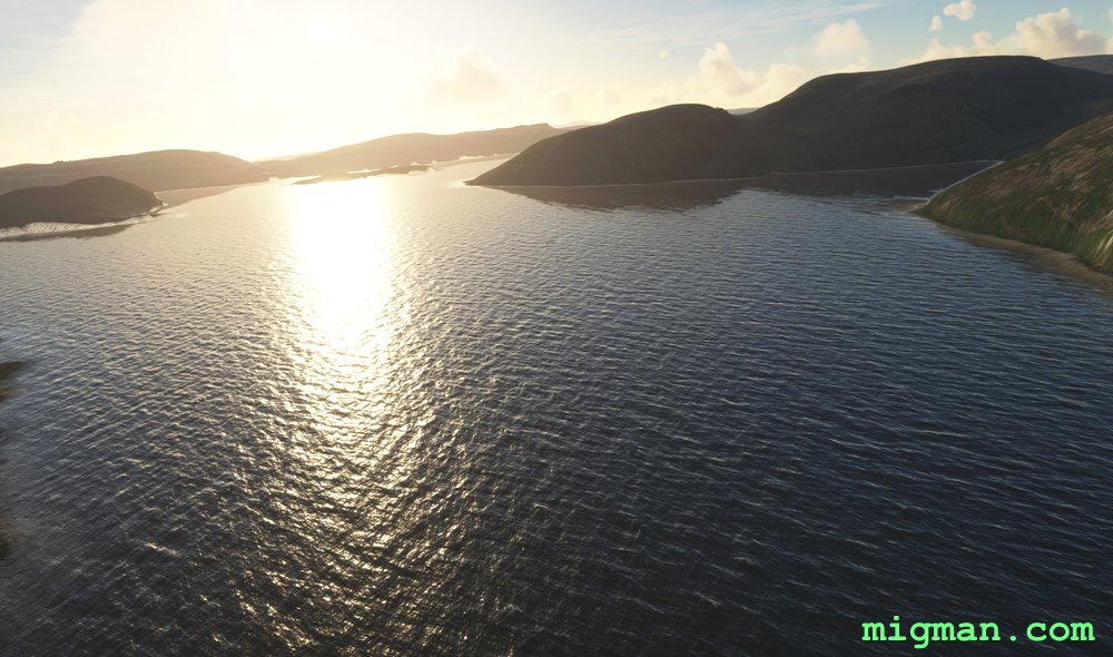
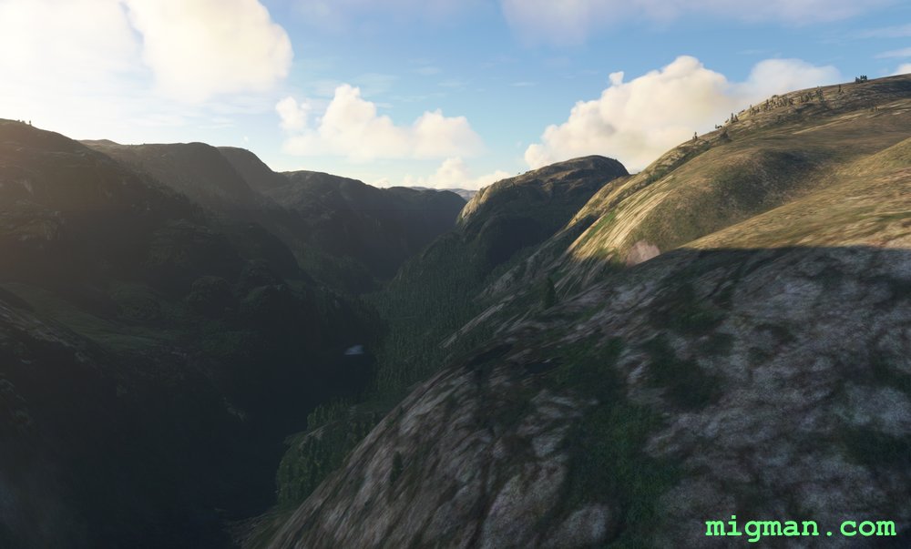
- WP 7 - Veer left to HDG 225, staying on the fjord
- WP 8 - Lake Tengesdalsvatnet
HDG 040 for 13nm over Salo airport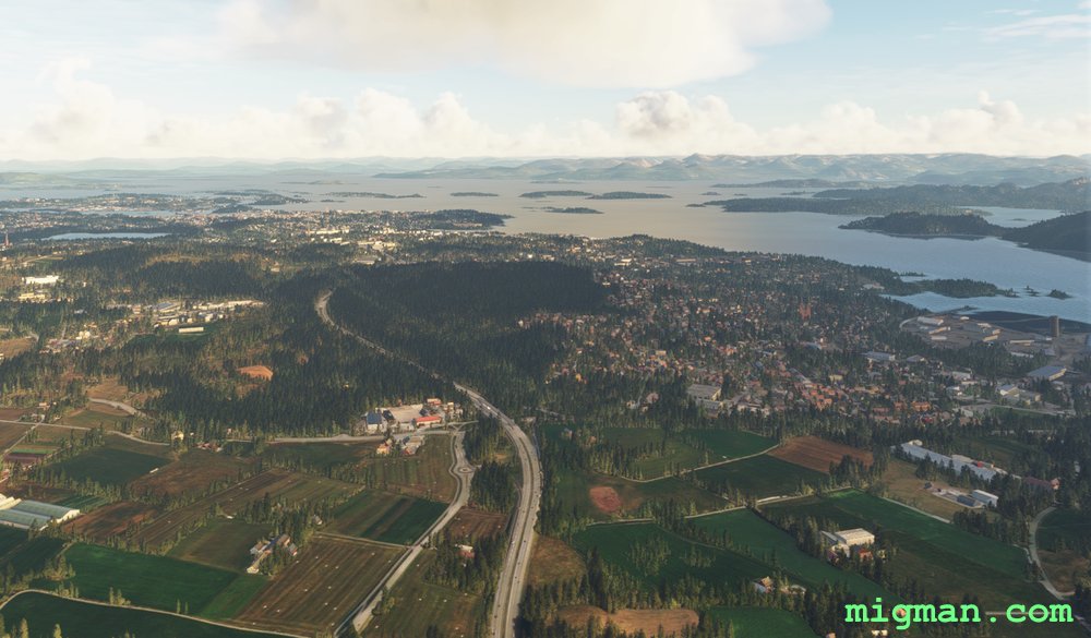
 Over the city of Stavanger | Feet wet
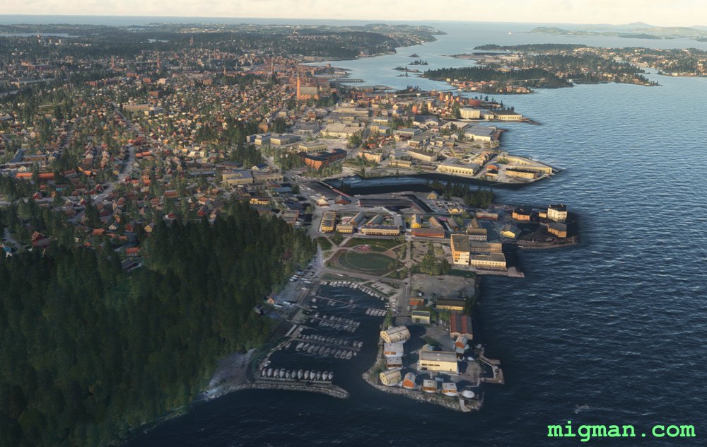 Looking left over the city of Stavanger
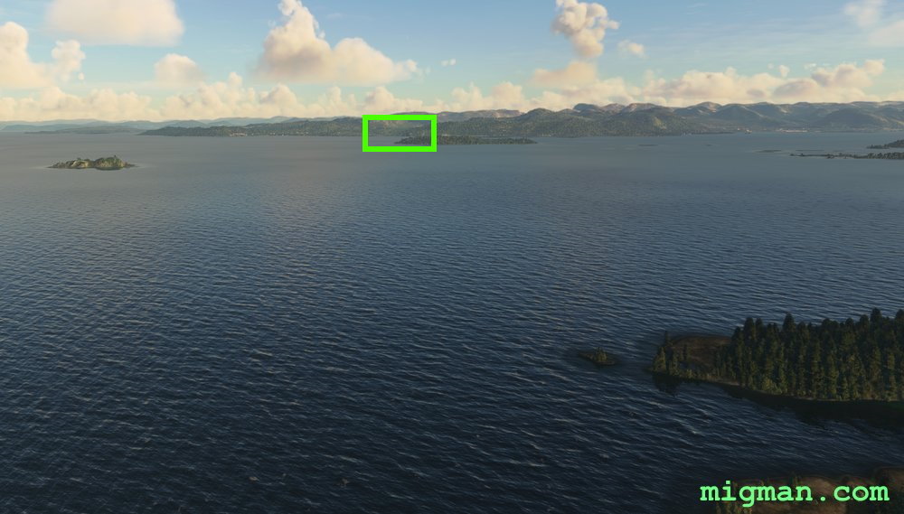 Feet dry at the city of Tao (in the target box)
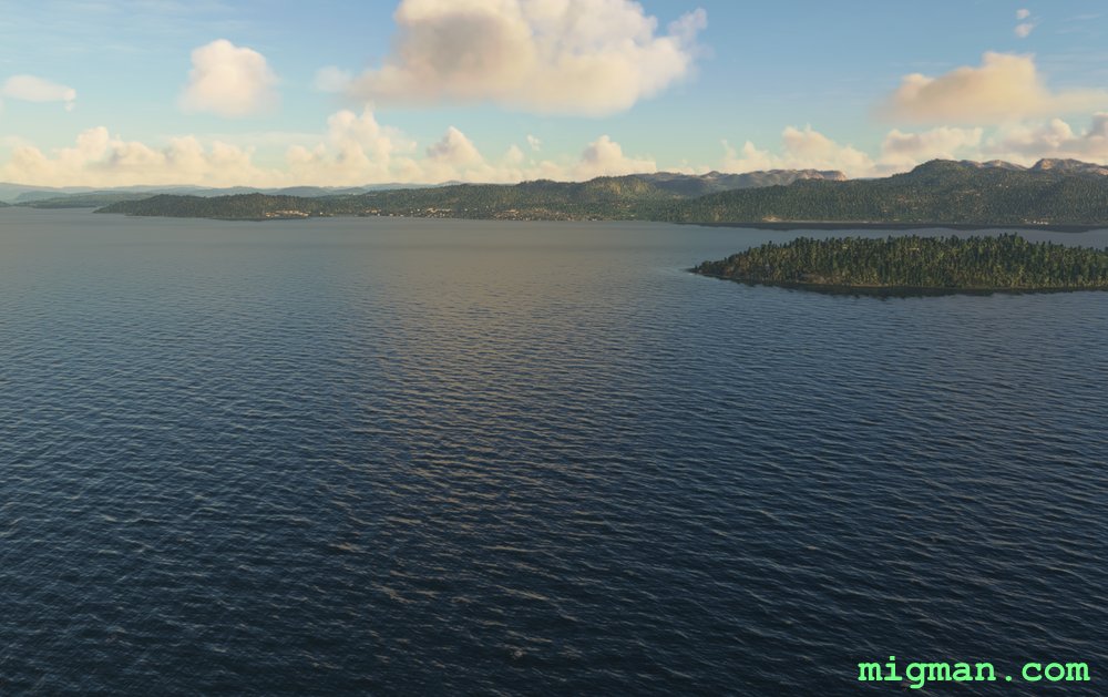
 Feet dry at the city of Tao
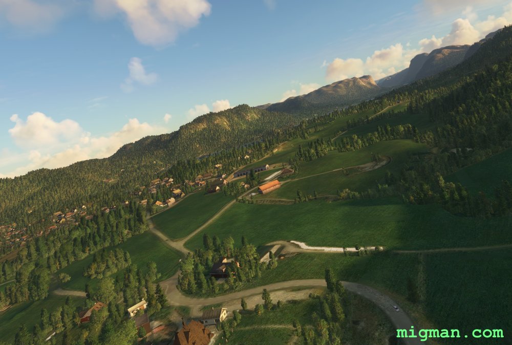 City of Tao
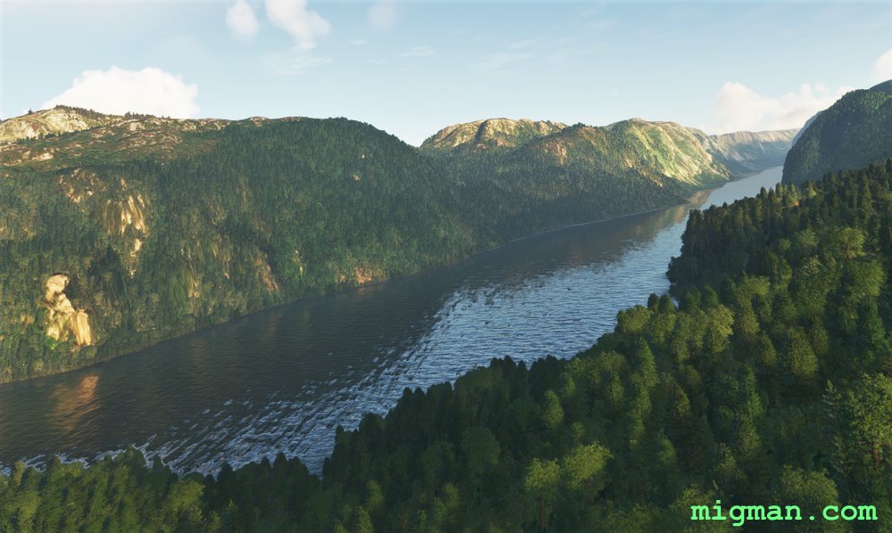
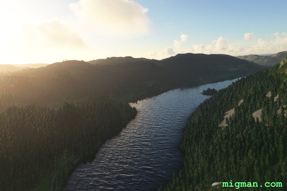
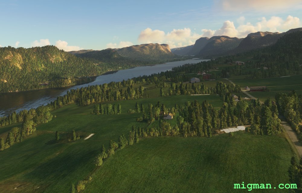 WP 2 - Follow the fjord NE
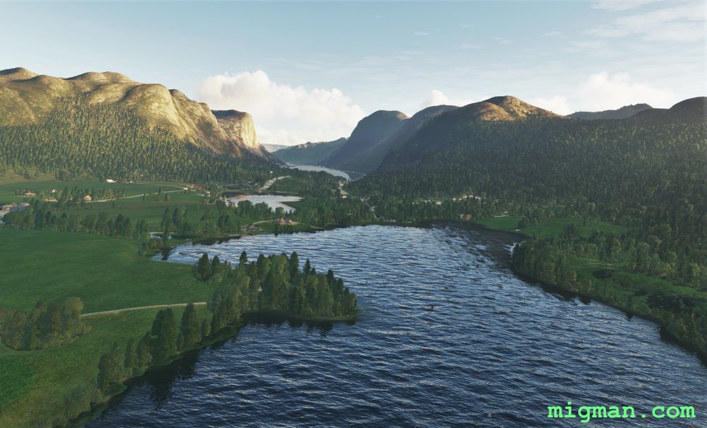
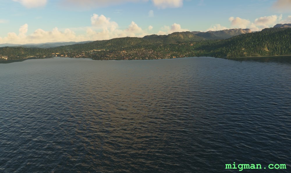
 WP 3 - 10 nm cross country HDG 085
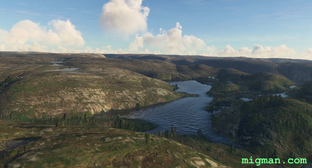
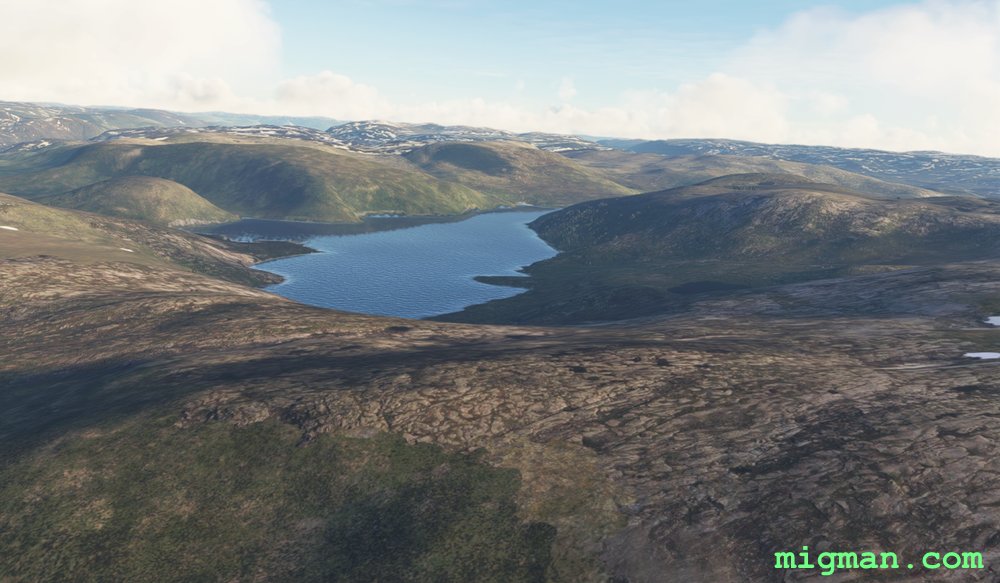 WP 4 - Follow Storevatnet lake HDG 193 to the dam
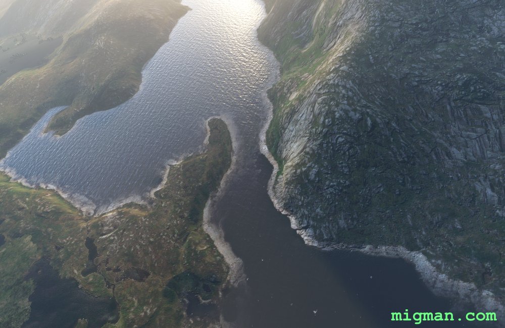
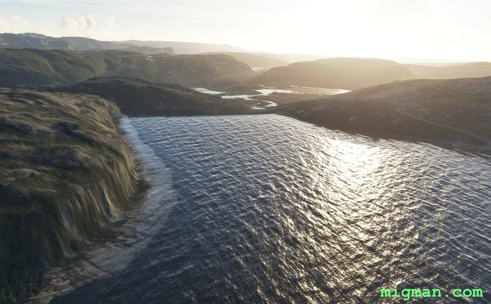 Dam
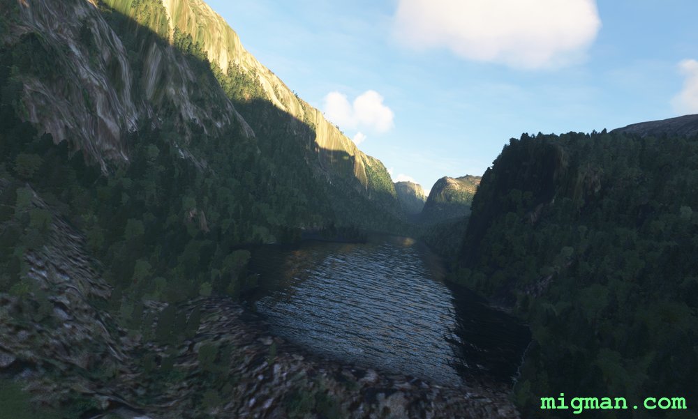
Dam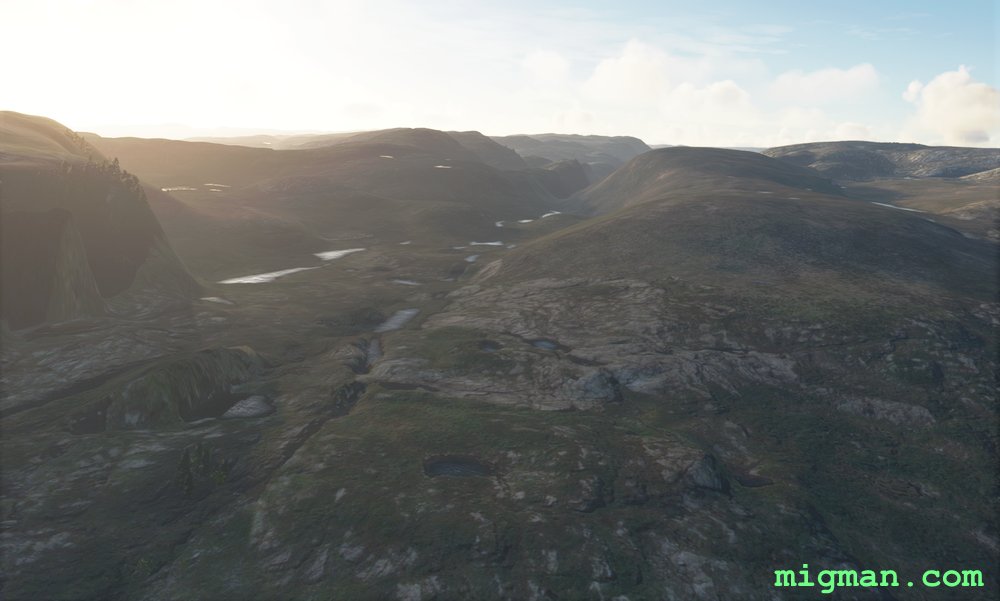 WP 5 - (Optional) Enter the valley
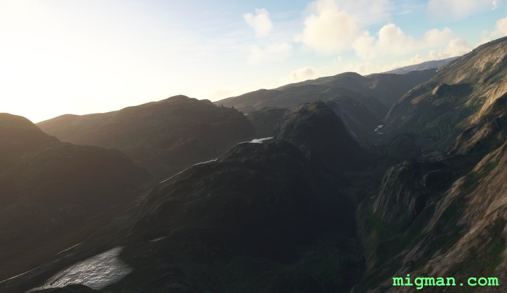
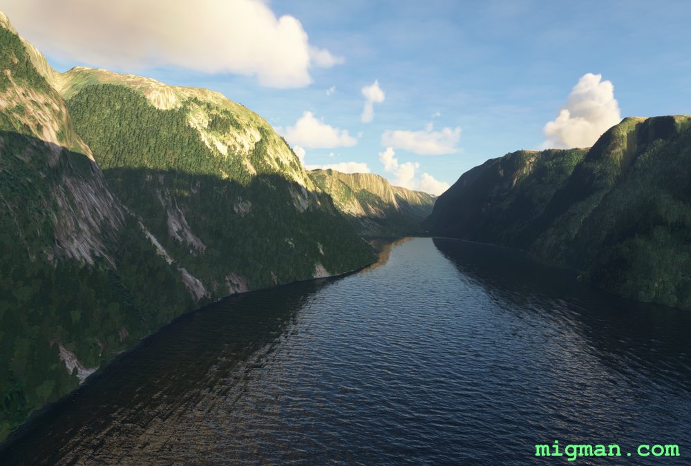
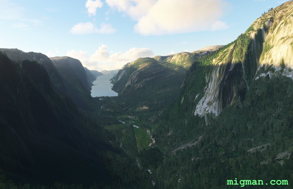 WP 6 - Lysebotn | Where the Lyse Fjord begins
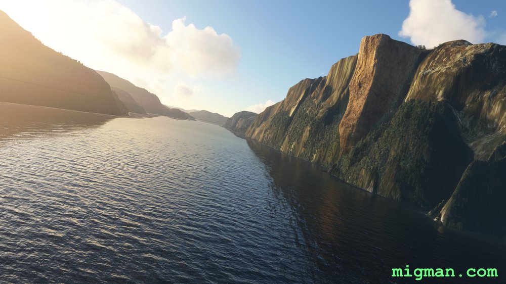 WP 7 - Veer left to HDG 225, staying on the fjord
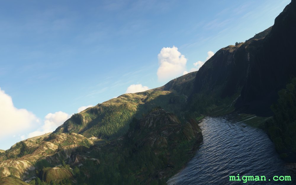
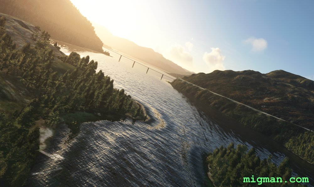
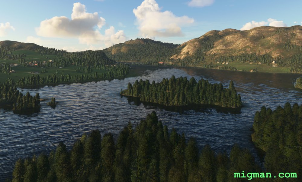
 WP 8 - Lake Tengesdalsvatnet
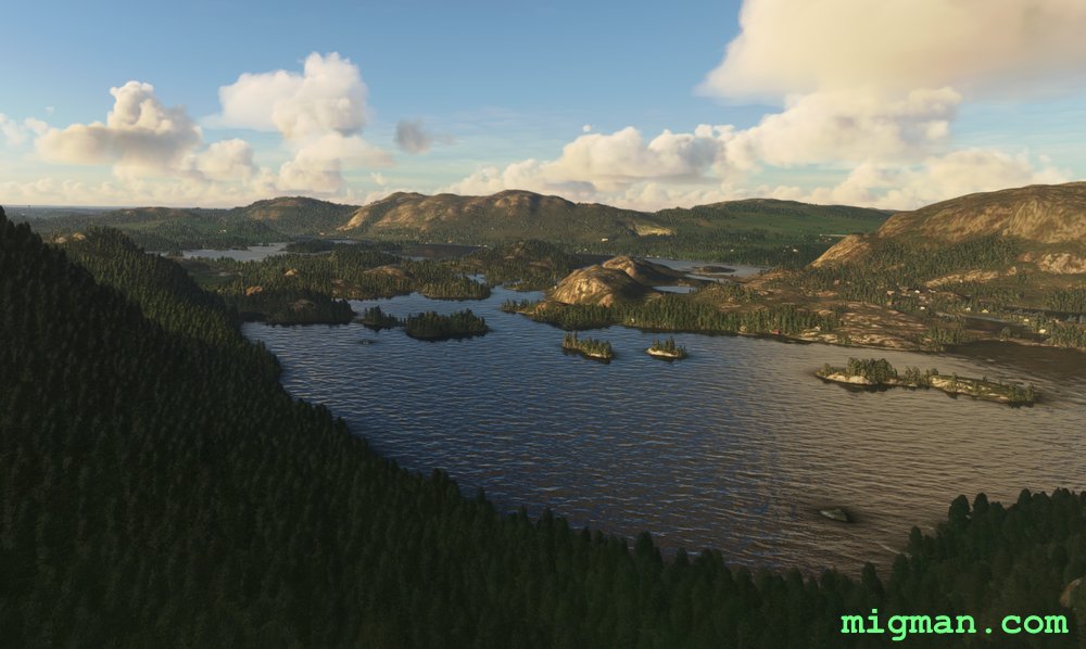
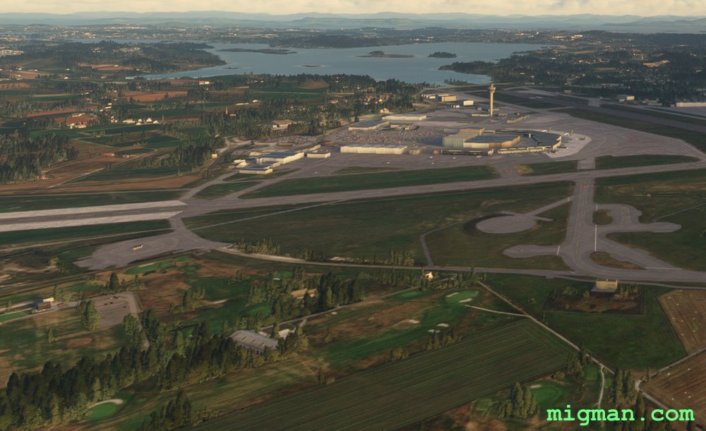
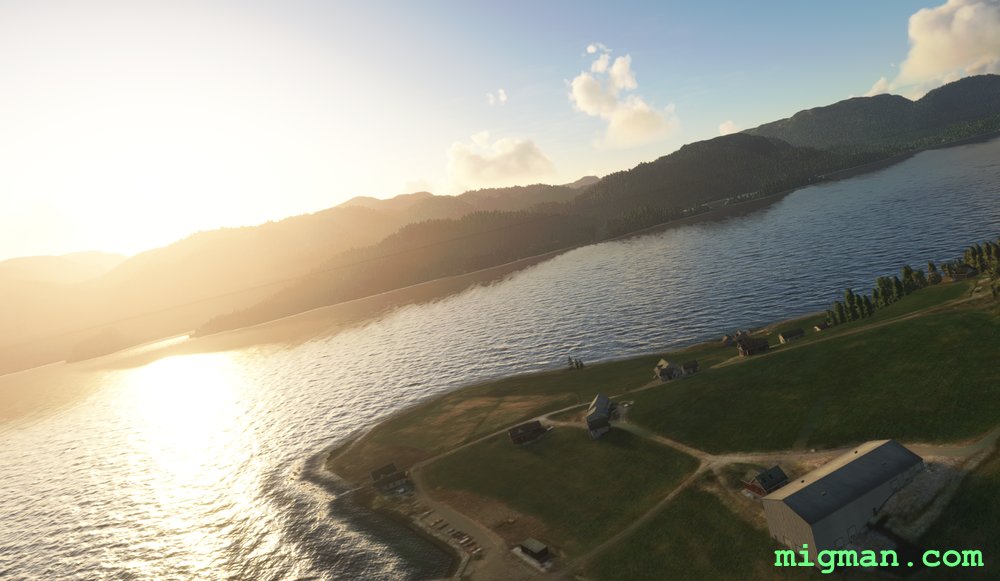
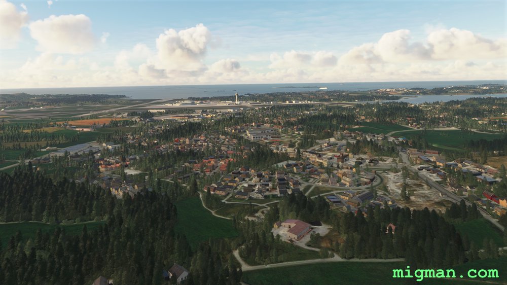 After passing over several lakes and hills, cresting a final hill reveals the airport on the western plain.
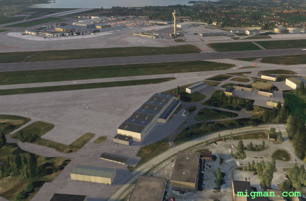 Sola (ENZV)
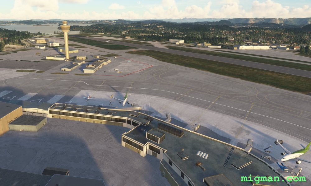 Sola (ENZV)
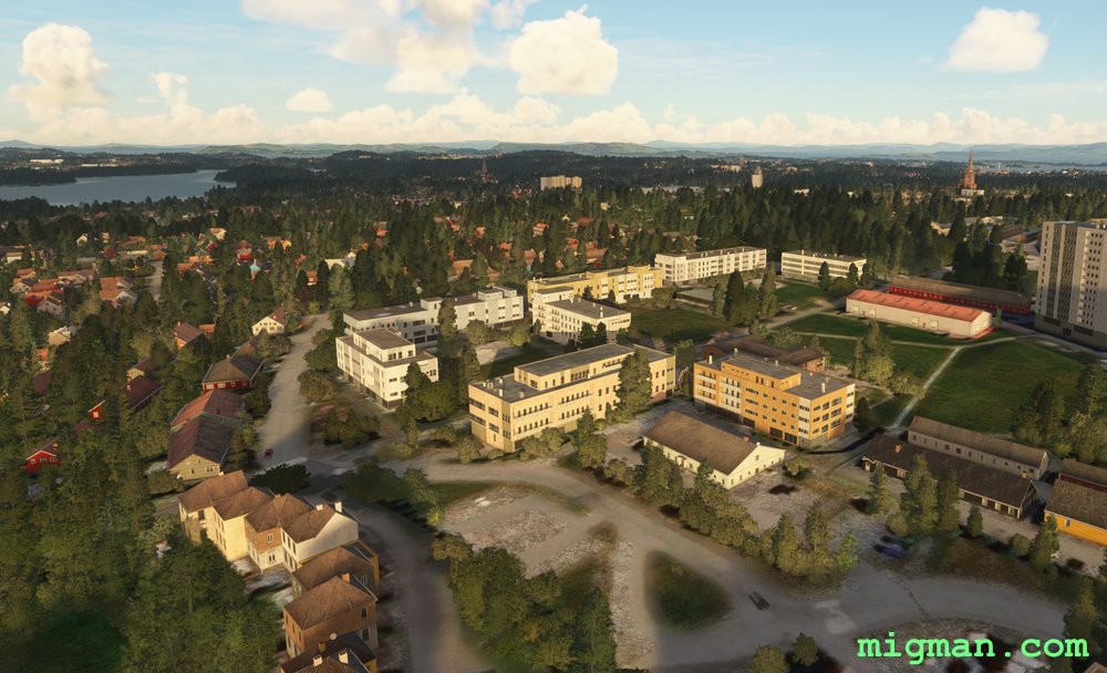 Stavanger (Drone image)
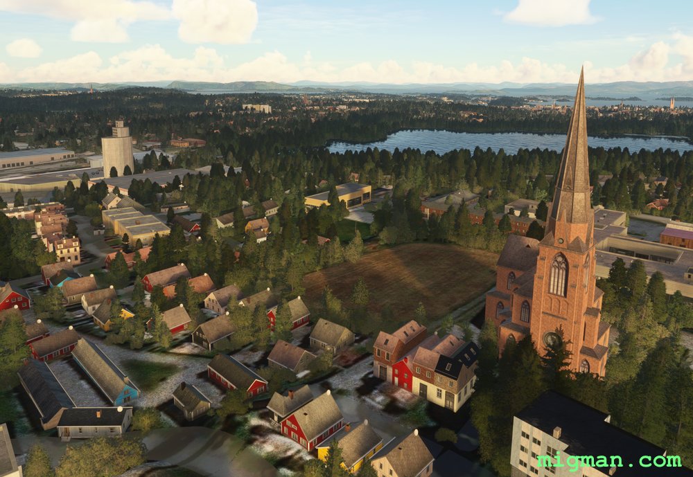 Stavanger (Drone image)
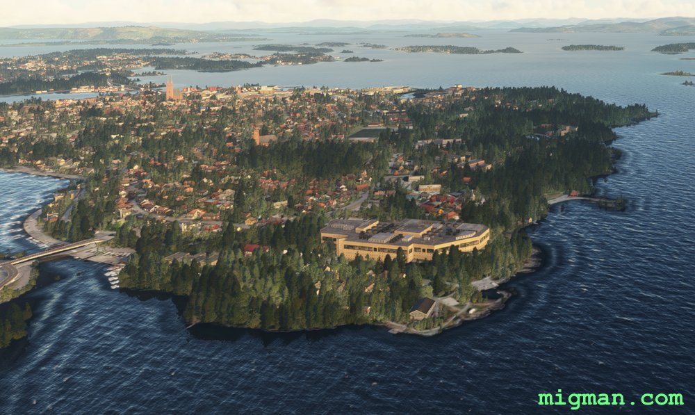
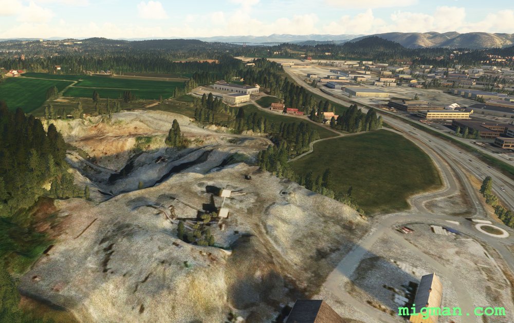 Stavanger (Drone image)
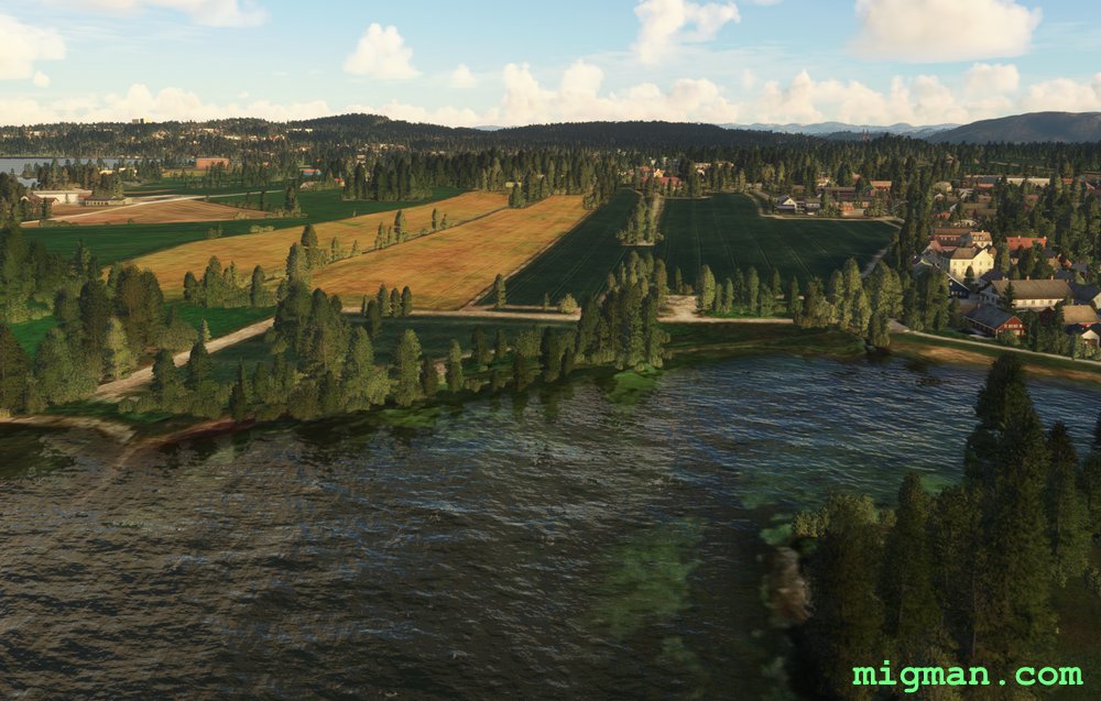 Stavanger (Drone image)
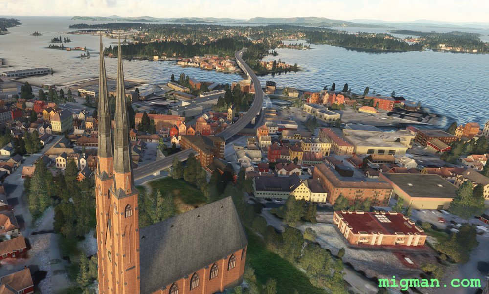 Stavanger (Drone image)
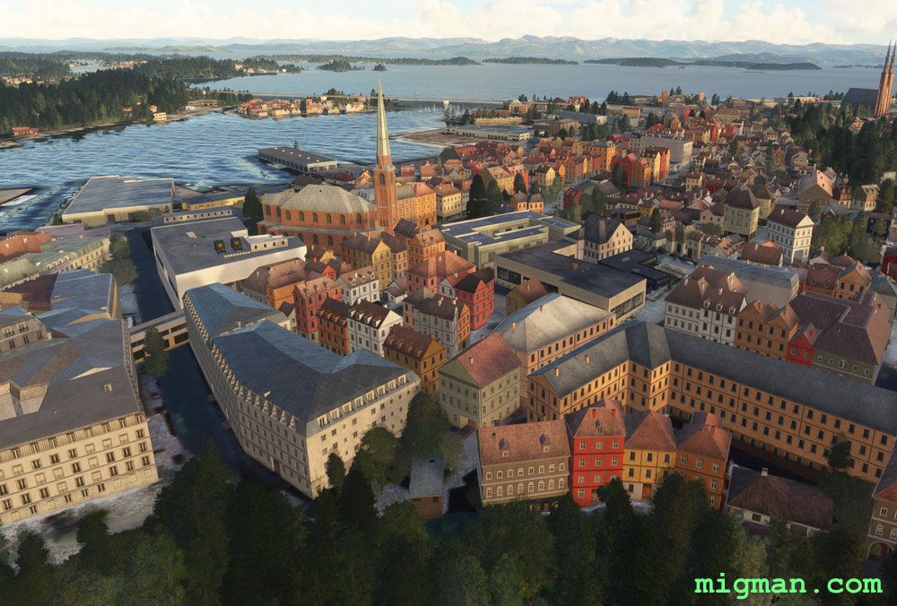 Stavanger (Drone image)
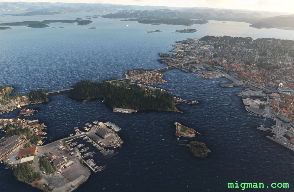 Stavanger (Drone image)