San Andres and Providencia
San Andres
Description
San Andres and Providencia are territories of Colombia consisting of three islands: San Andres to the south and Providencia and Santa Catalina 50 nm to the north. Take a flight along the coast on San Andres, from Gustavo Rojas Pinilla Airport SKSP 7788ft.
Nav data
- Country: San Andres and Providencia
- Locale: San Andres
- Route: Gustavo Rojas Pinilla SKSP to Gustavo Rojas Pinilla SKSP
- Distance: 15 nm
- File name: san-andres-providencia-SKSP-to-SKSP-VFR-san-andres-220707
Waypoints
- West Coast | WP 1 - Evans Point (quarry)
- WP 2 - Blue Cove
- East Coast | WP 3 - Beach: Playa de Sebastian, at the southern tip of San Andres
- WP 4 - San Francisco
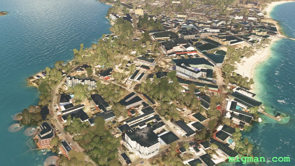
- WP 5 - San Andres
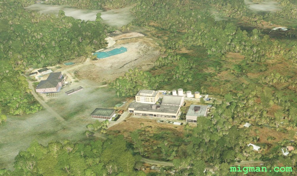 West Coast | WP 1 - Evans Point (quarry)
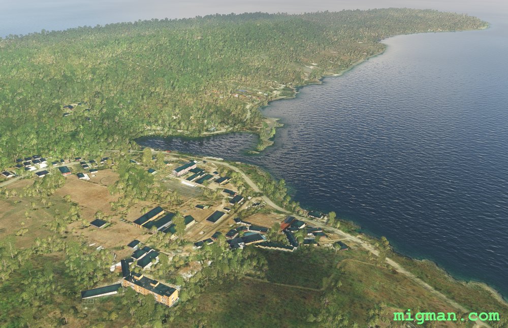 WP 2 - Blue Cove
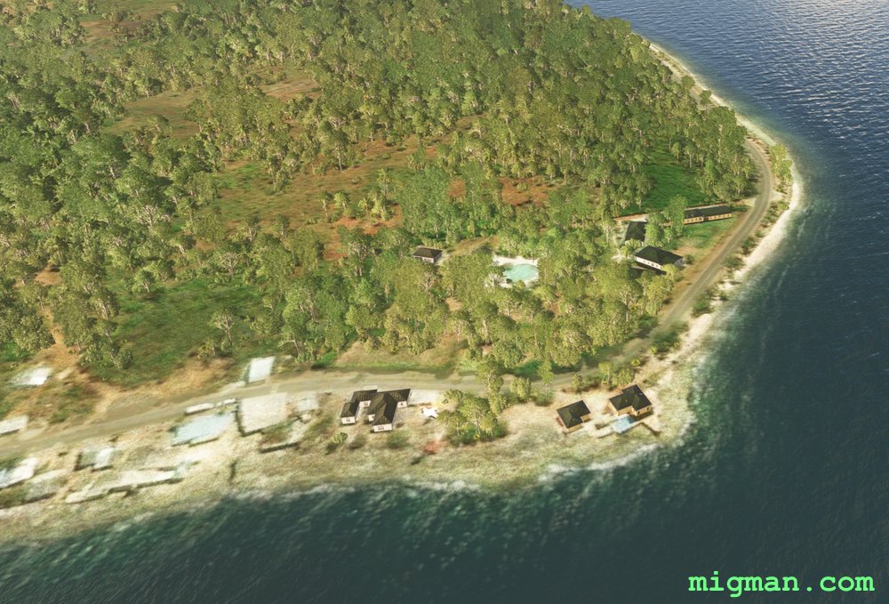 East Coast | WP 3 - Beach: Playa de Sebastian, at the southern tip of San Andres
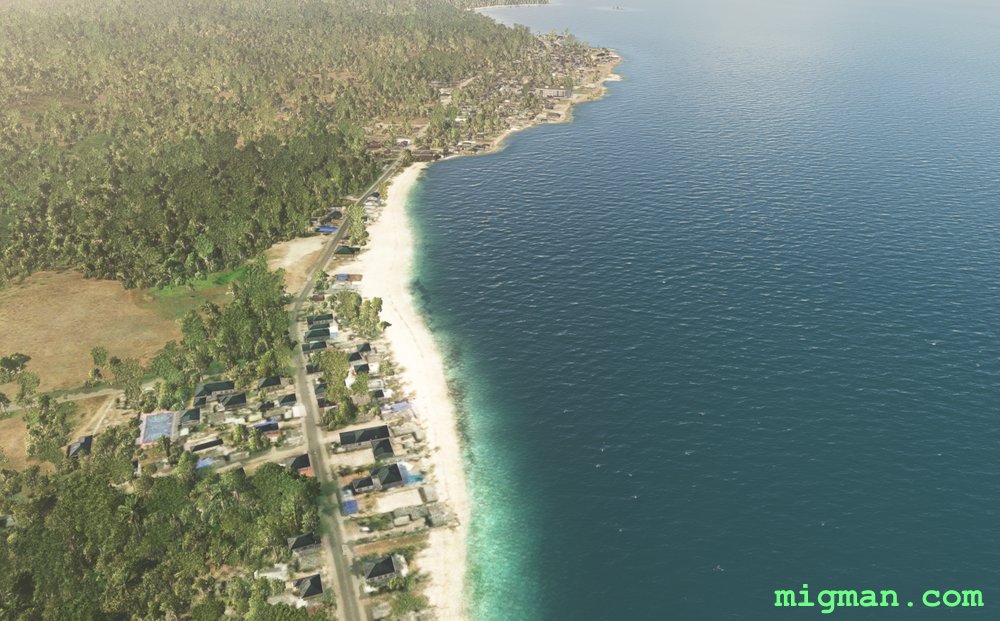 WP 4 - San Francisco
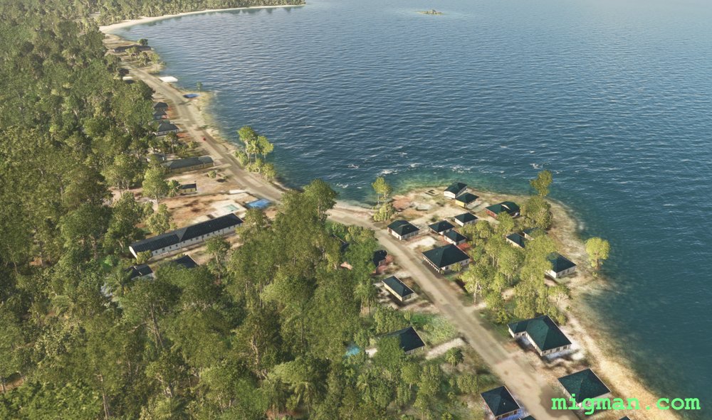 North of San Francisco
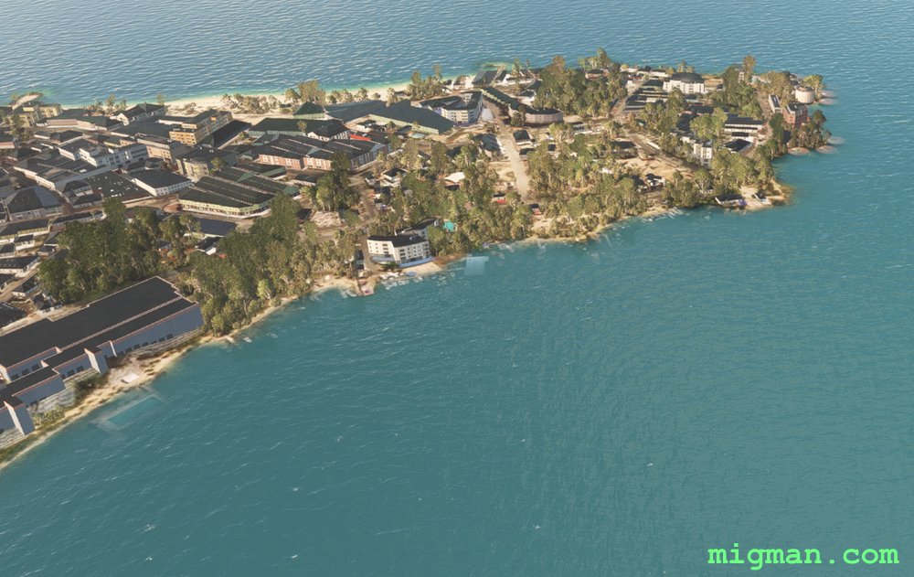 WP 5 - San Andres
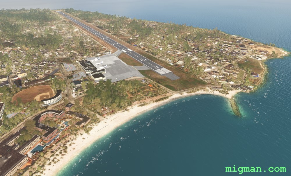 Gustavo Rojas Pinilla SKSPSan Andres