
Tajikistan
Dushanbe and the Varzob River
Dushanbe is in a fertile valley. Fly to the source of the water at the melting snow in the mountains to the north. NOTAM. Rec min alt 4,500 ft. Dushanbe AP ELEV 2,559 ft
- Country: Tajikistan
- Locale: Dushanbe
- Route: Dushanbe (UTDD) to Dushanbe (UTDD)
- Distance: 57 nm
- File name: tajikistan-UTDD-to-UTDD-VFR-dushanbe-220210
Waypoints
- WP 1 - River junction | Follow the Kafirnigan River W
- WP 2 - Intersection of Kafirnigan and Hanaka Riversk | Follow the river N
- WP 3 - Valley entrance
- WP 4 - Peak 4,500m
- WP 5 - Enter plain
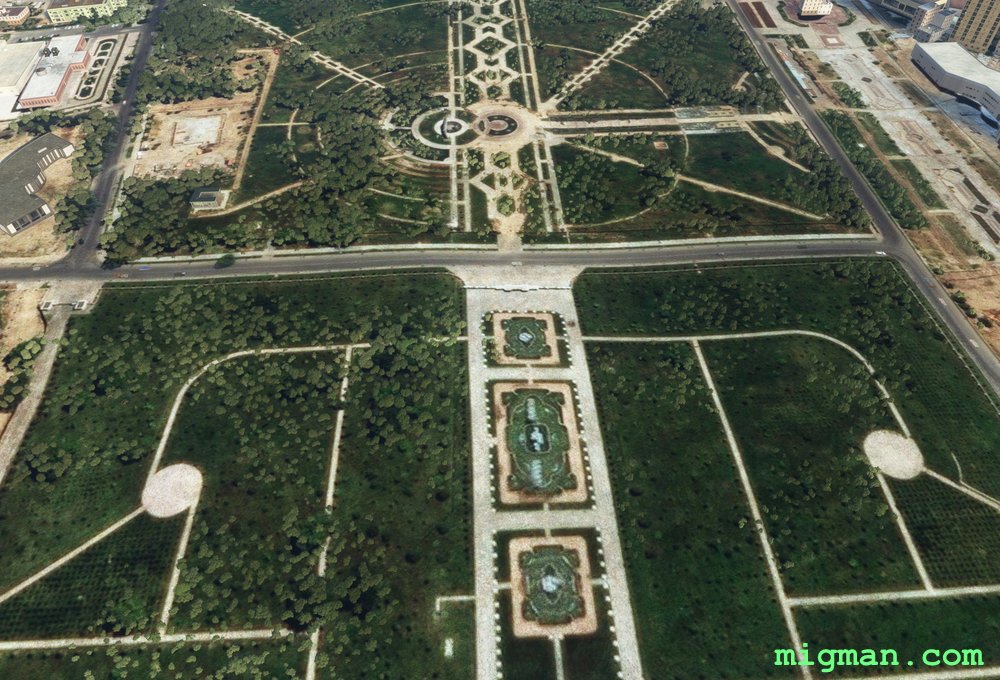
- WP 6 - Independence Monument and Rudaki Park | Follow the river S
- WP 7 - River junction
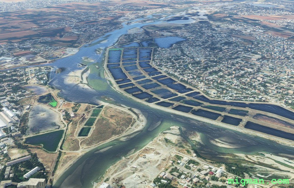 WP 1 - River junction | Follow the Kafirnigan River W
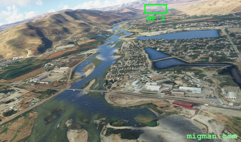 WP 2 - Intersection of Kafirnigan and Hanaka Riversk | Follow the river N
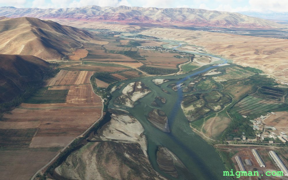 Follow the Kafirnigan River W
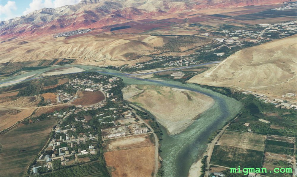 WP 2 - Intersection of Kafirnigan and Hanaka Riversk | Follow the river N
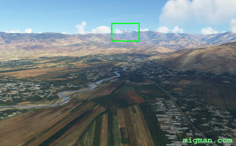 Follow the river N
DESIGNATED: WP 4 - Peak 4,500m
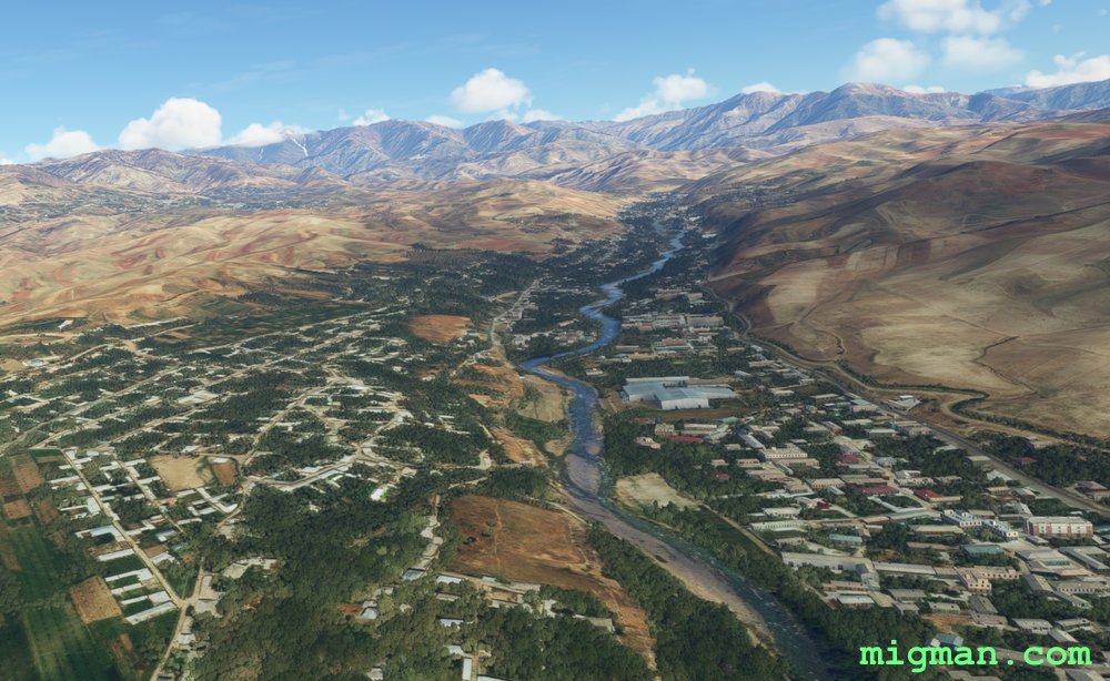 WP 3 - Valley entrance
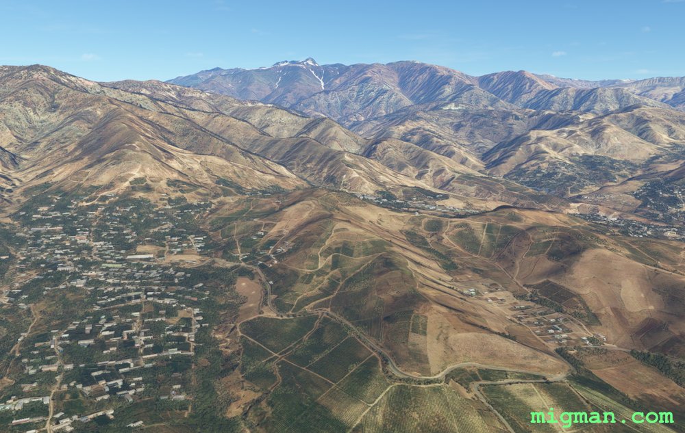
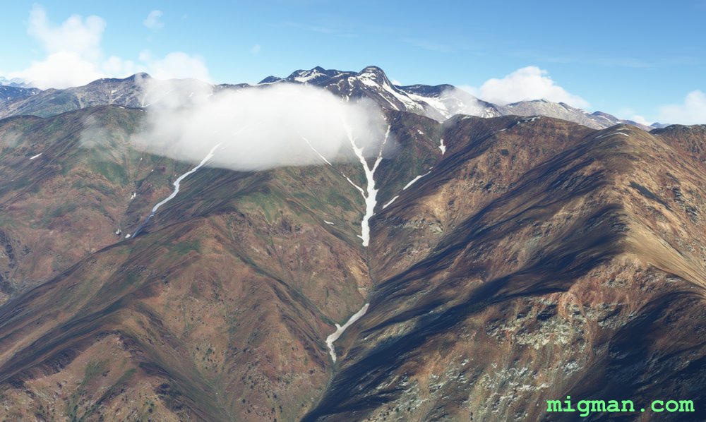 WP 4 - Peak 4,500m
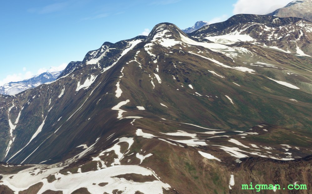 WP 4 - Peak 4,500m
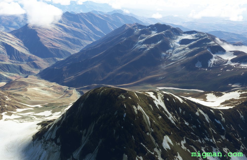 WP 4 - Peak 4,500m
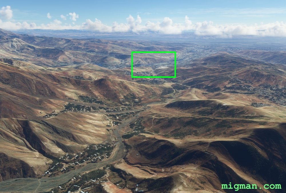 WP 5 - Enter plain
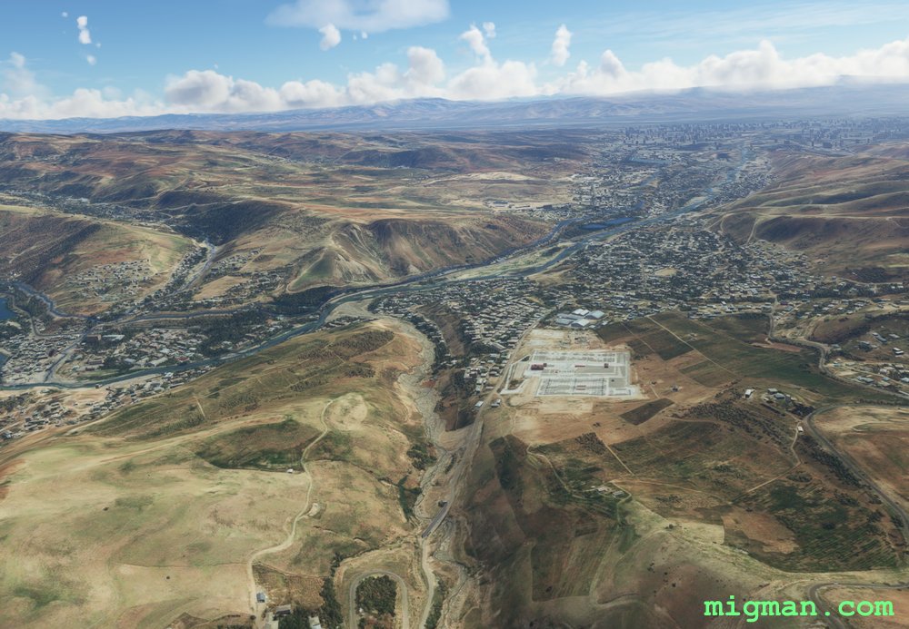 WP 5 - Enter plain
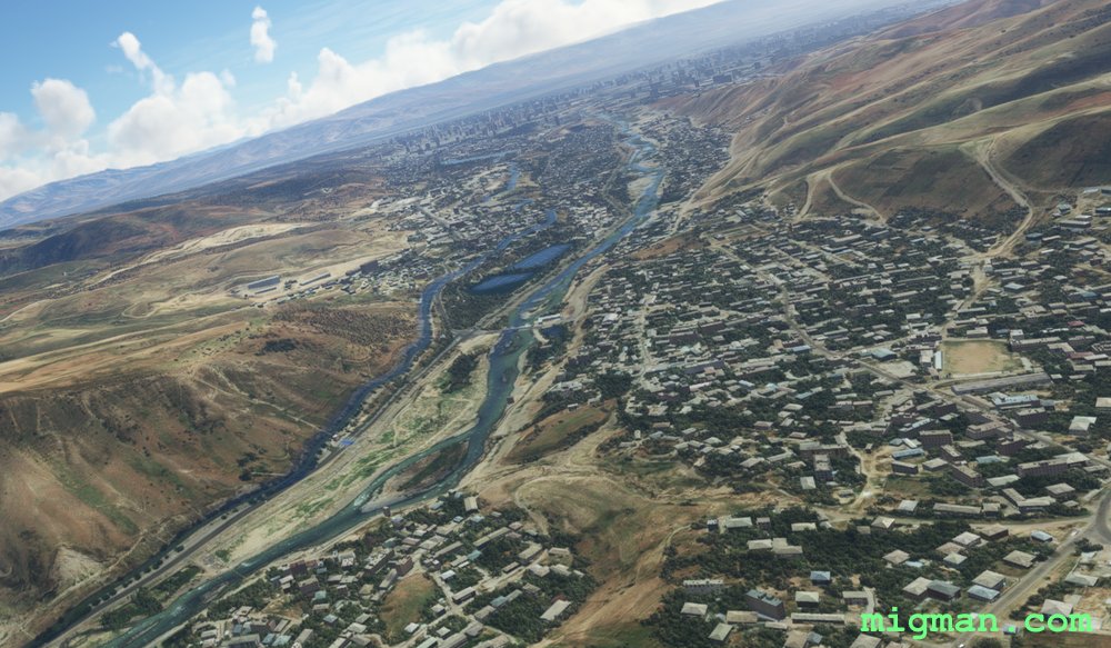 WP 5 - Enter plain
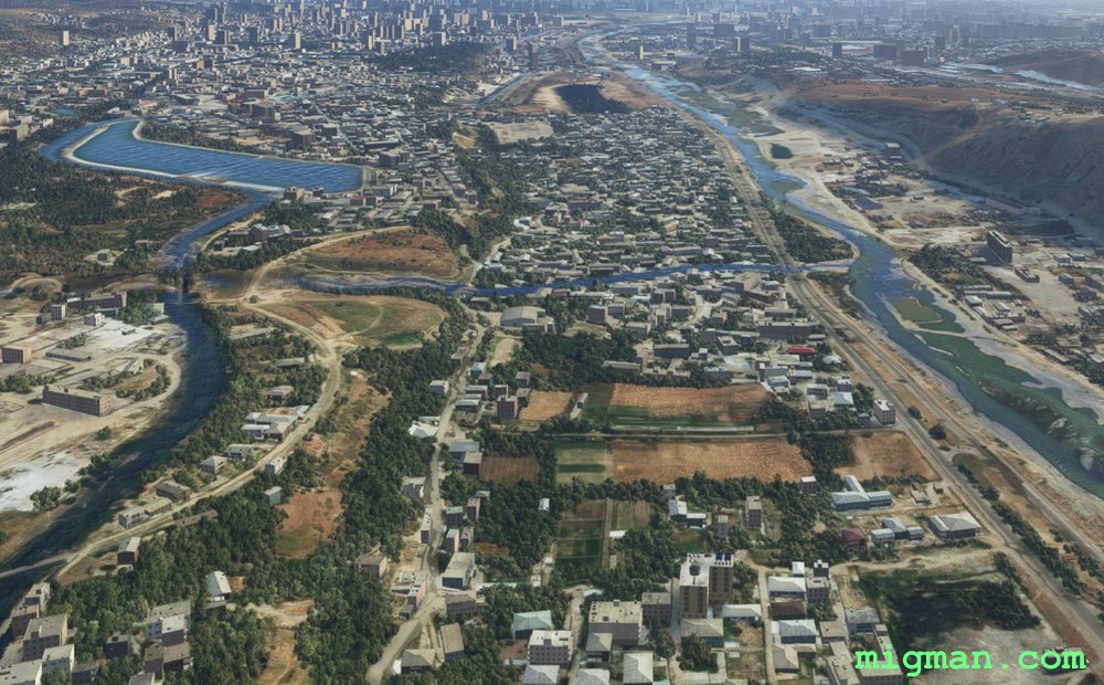 Follow the river S
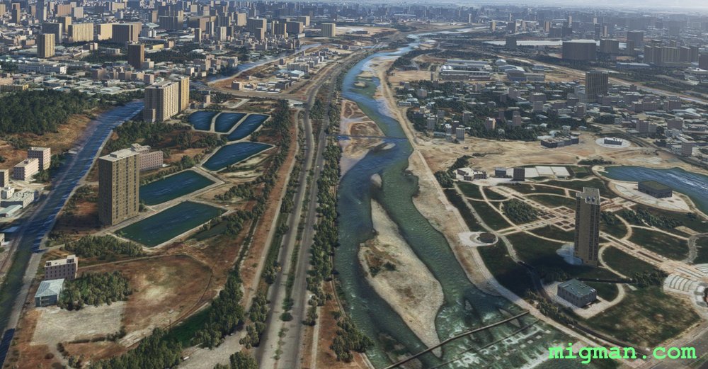 Follow the river S
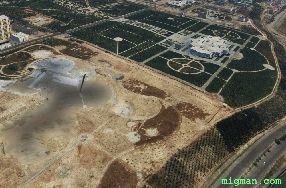 WP 6 - Independence Monument and Rudaki Park
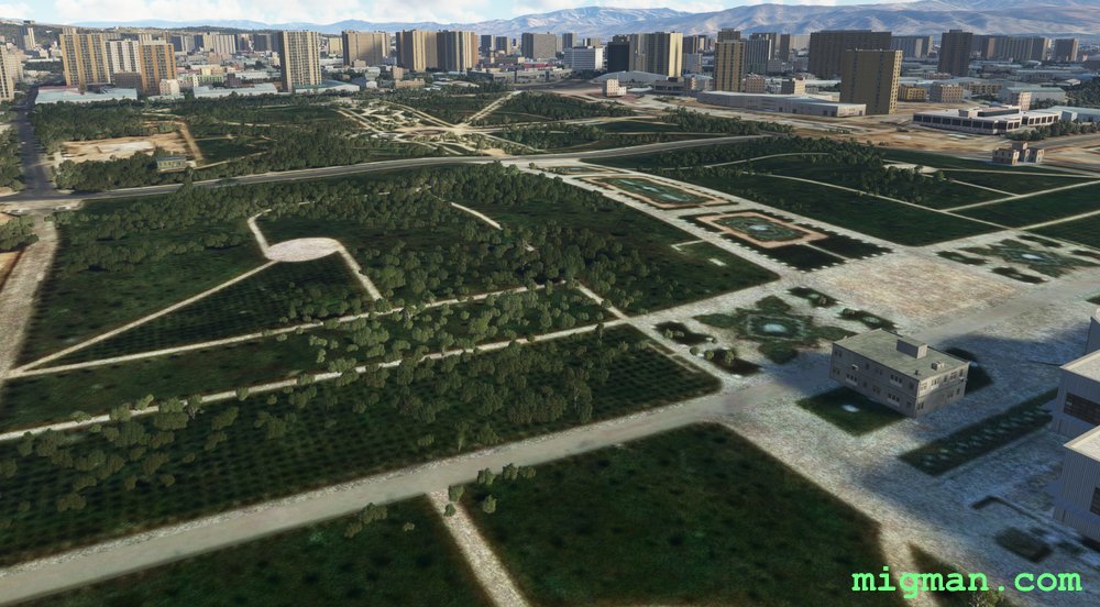 WP 6 - Independence Monument and Rudaki ParkWP 6 - Independence Monument and Rudaki Park
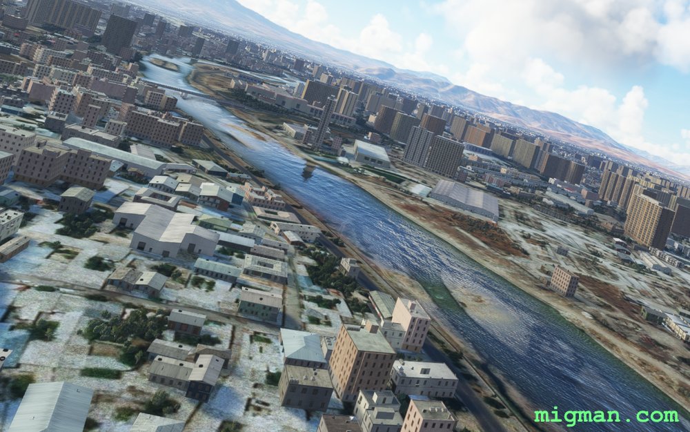 Follow the river S
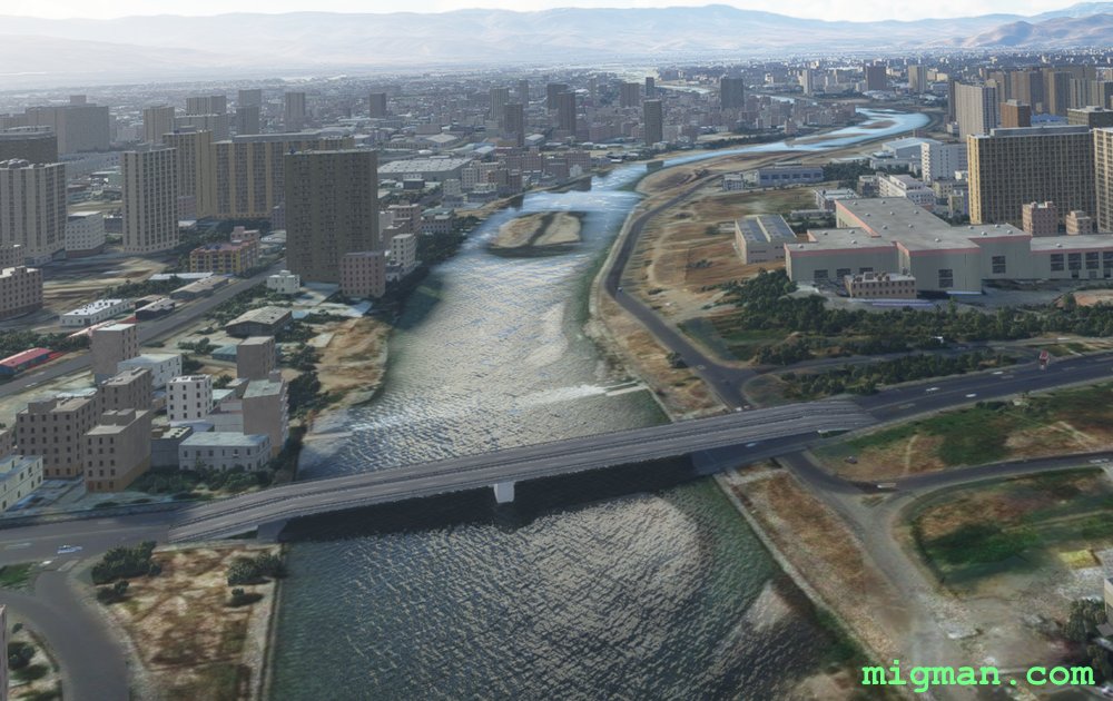 Follow the river S
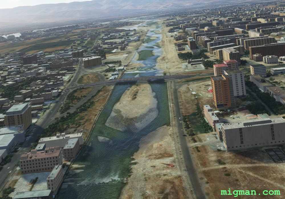 Follow the river S
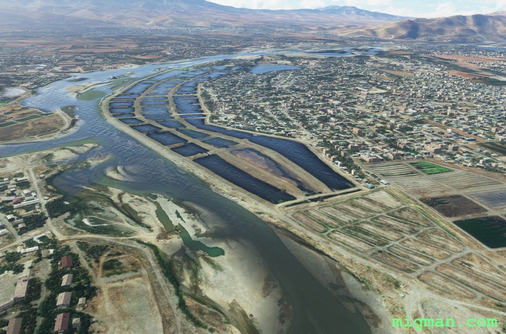 WP 7 - River junction
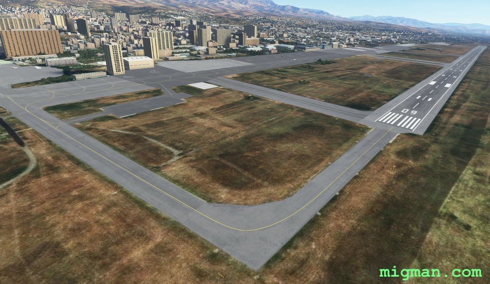 Dushanbe (UTDD)