
Abkhazia
Eastern Abkhazia
Description
Explore the eastern and northern borders with Georgia and return via the capital, Sokhumi. This flight covers almost the entire eastern half of the country, mountains on the border with Georgia and the coast from the capital Sokhumi back to Babushara.
Nav data
- Country: Abkhazia
- Locale: Babushara
- Route: UGSS Babushara to UGSS Babushara
- Distance: 25, 121 nm
- File name: abkhazia-UGSS-to-UGSS-VFR-sokhumi-221104
Waypoints
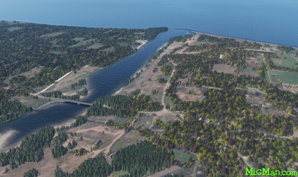
- WP 1 - Jukmuri Coal Harbour
- WP 2 - Gali Reservoir | Pass: Ochamchire
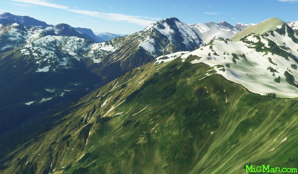
- WP 3 - Peak 10,870 ft on the Abkhazia / Georgia border
- WP 4 - Azhara Peak 4,333 ft
- WP 5 - NW along the valley to the peak at 8,166 ft
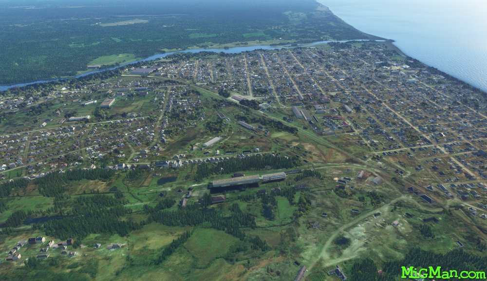
- WP 6 - Fly to the mouth of the Gumista River at Sokhumi
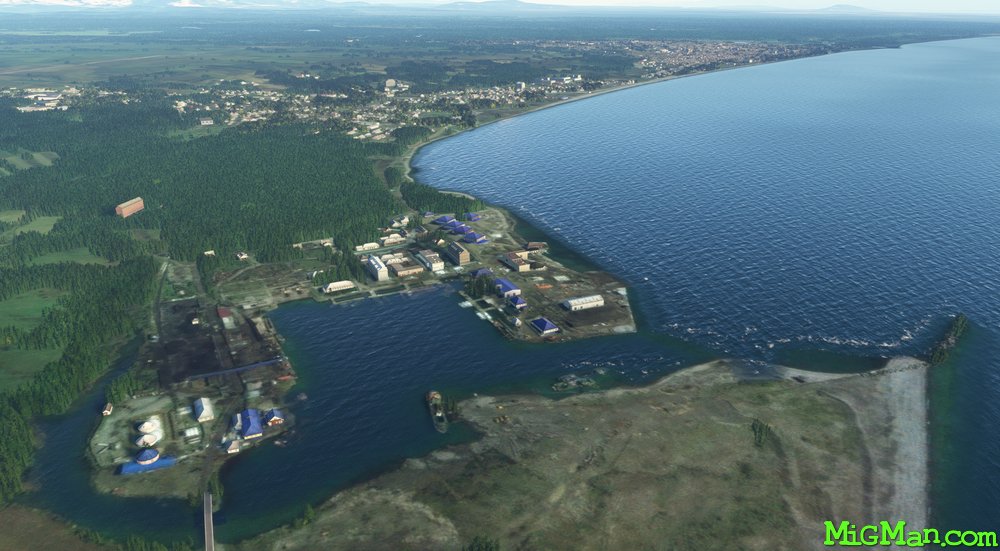
WP 1 - Jukmuri Coal Harbour
Pass to the north of the coastal town Ochamchire
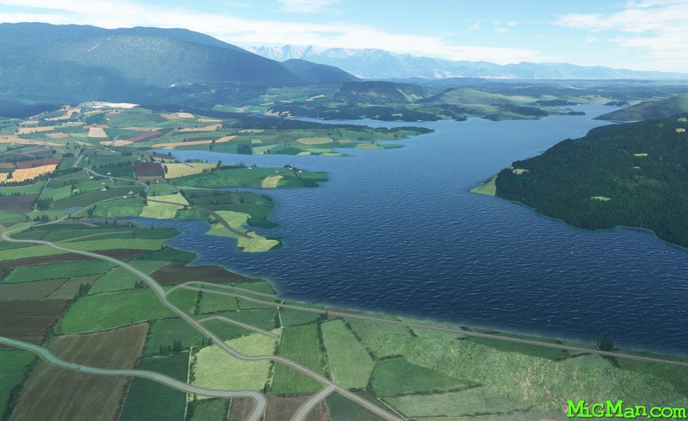
WP 2 - Gali Reservoir | Pass: Ochamchire
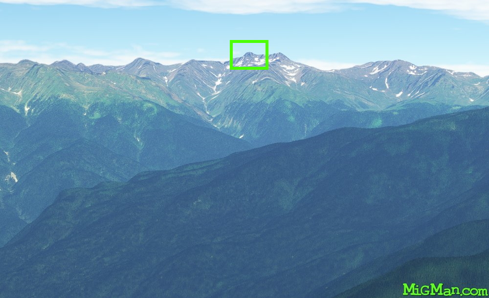
Designated: Peak 10,870 ft
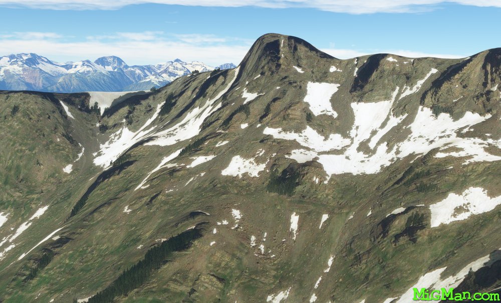
WP 3 - Peak 10,870 ft on the Abkhazia / Georgia border
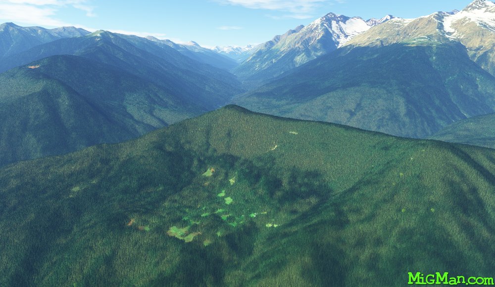
WP 4 - Azhara Peak 4,333 ft
WP 5 - NW along the valley to the peak at 8,166 ft
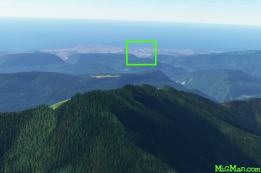
Designated: WP 6 - Mouth of the Gumista River
WP 6 - Fly to the mouth of the Gumista River at Sokhumi
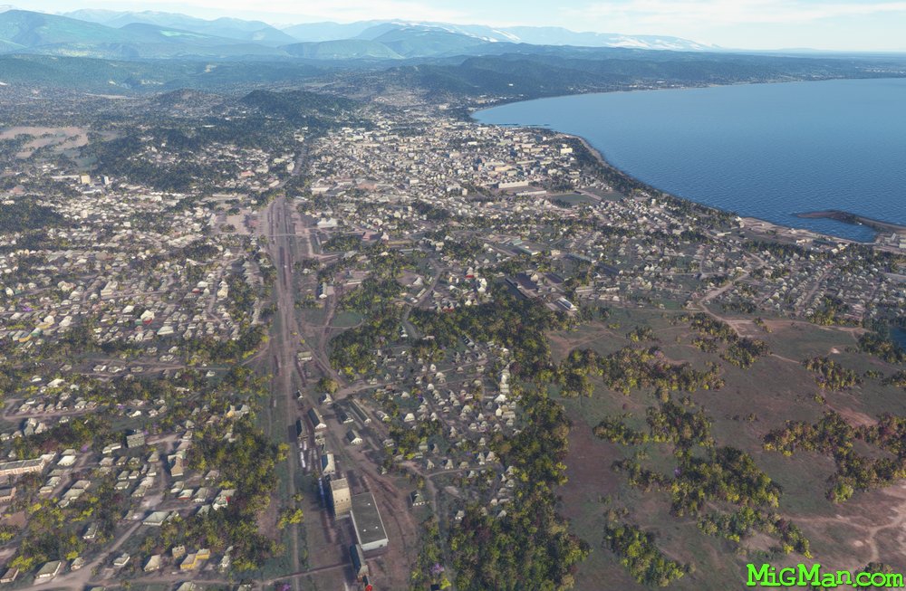
Sokhumi
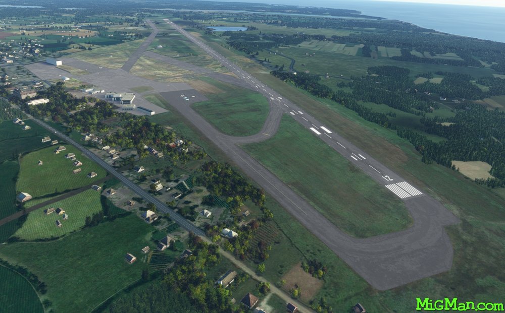
UGSS Babushara
UGSS Babushara