Afghanistan
Jalalabad Local
Fly a short ciruit over Jalalabad and admire the colours of this fertile valley about 60 nm east of Kabul.
MiGMan’s World TourAsia 1- Country: Afghanistan
- Locale: Jalalabad
- Route: Jalalabad (OAJL) to Jalalabad (OAJL)
- Distance: 26 nm
- File name: afghanistan-OAJL-to-OAJL-VFR-jalalabad-220124
Waypoints
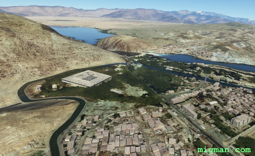
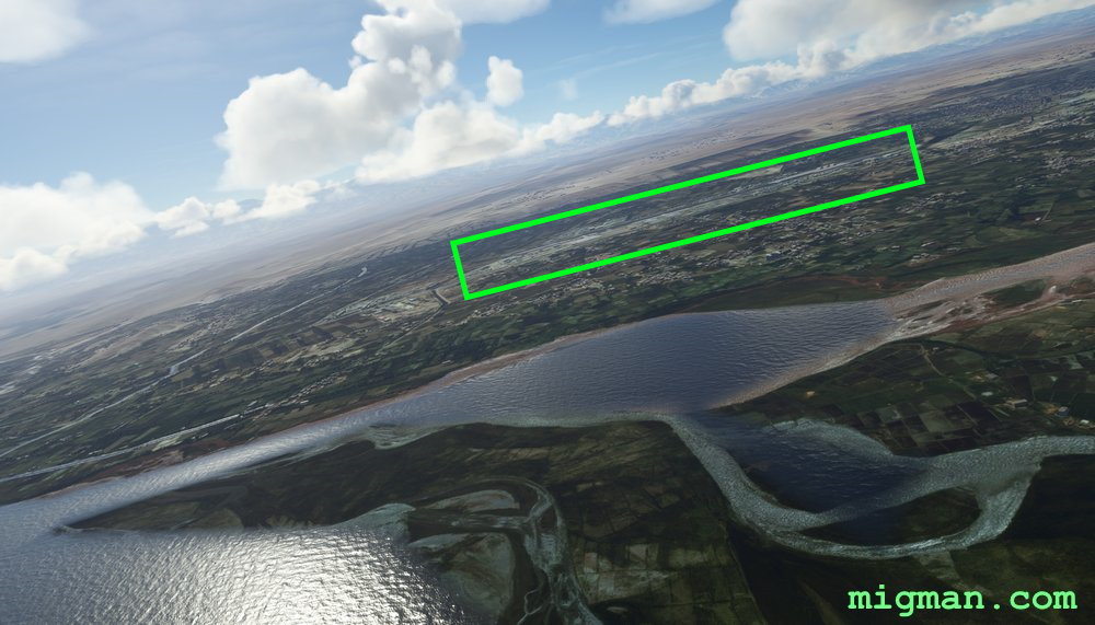
- WP 1 - Storage facility
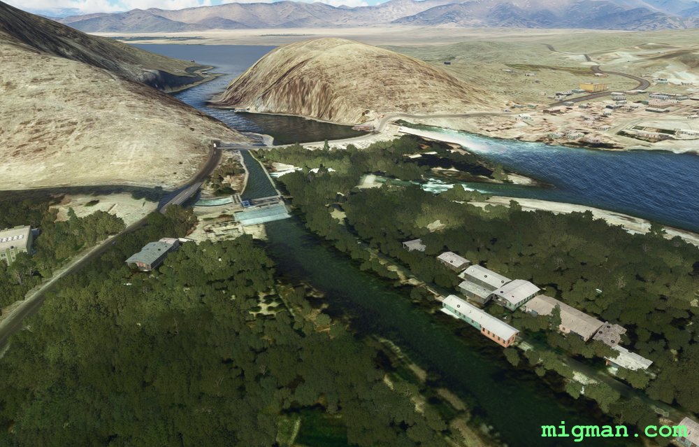
- WP 2 - Daronta Dam
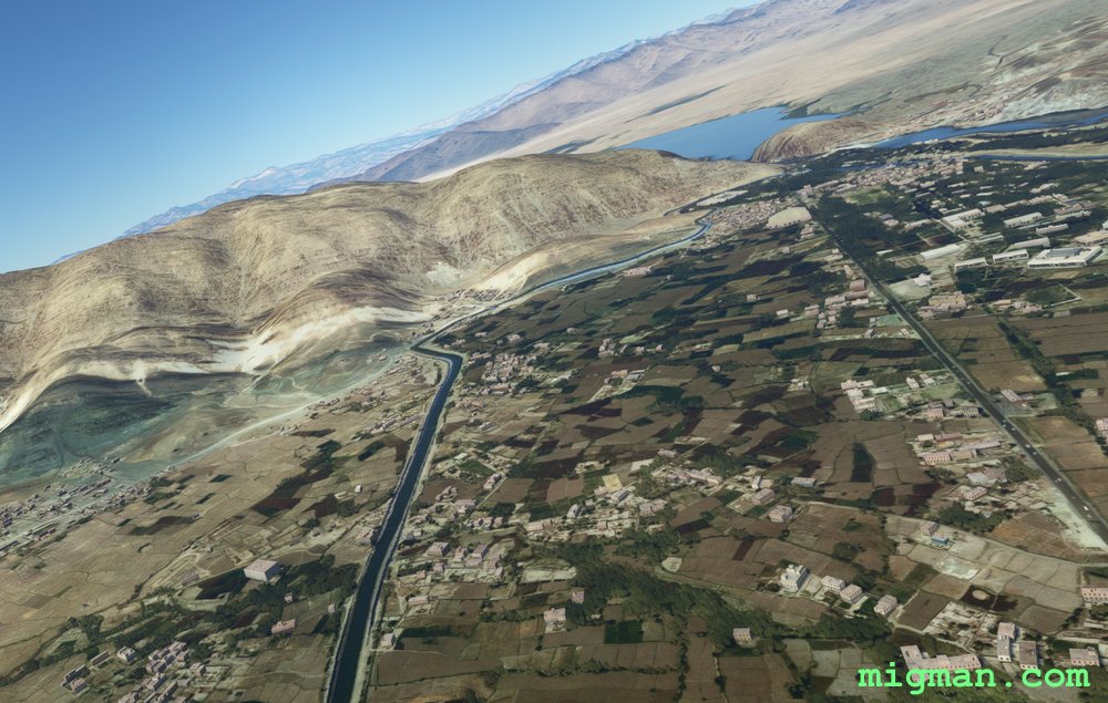
- WP 3 - Kabul River | Follow the river along the edge of town
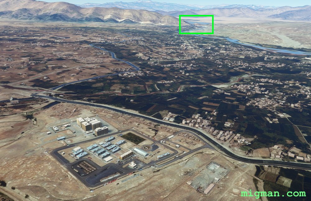
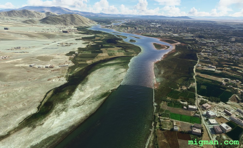
- WP 4 - NE entrance to the valley
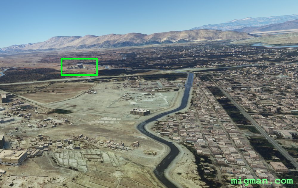
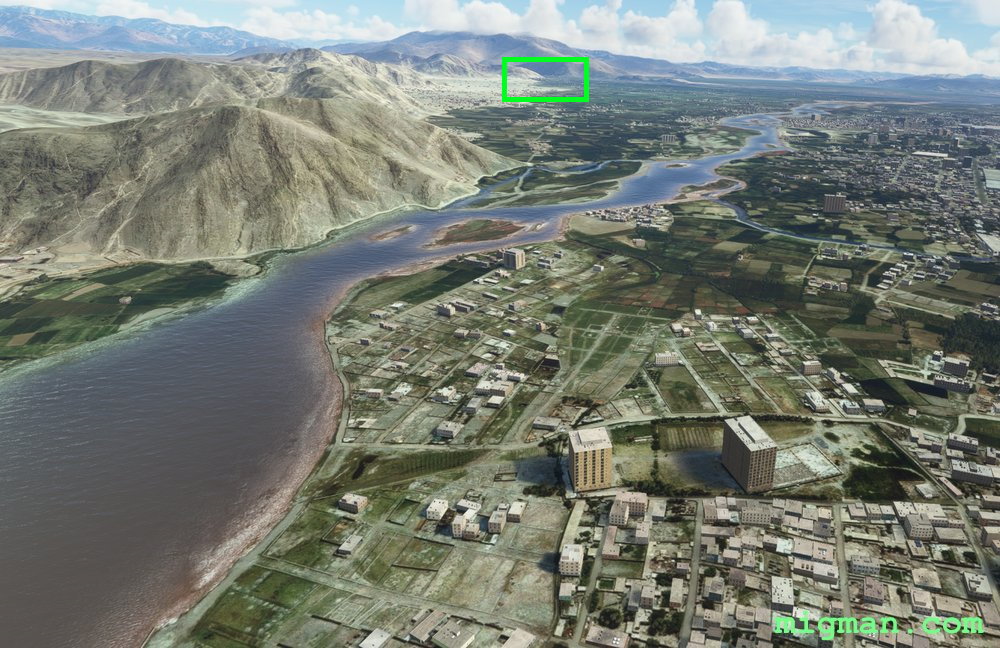
WP 1 - Storage facility
WP 1 - Storage facility
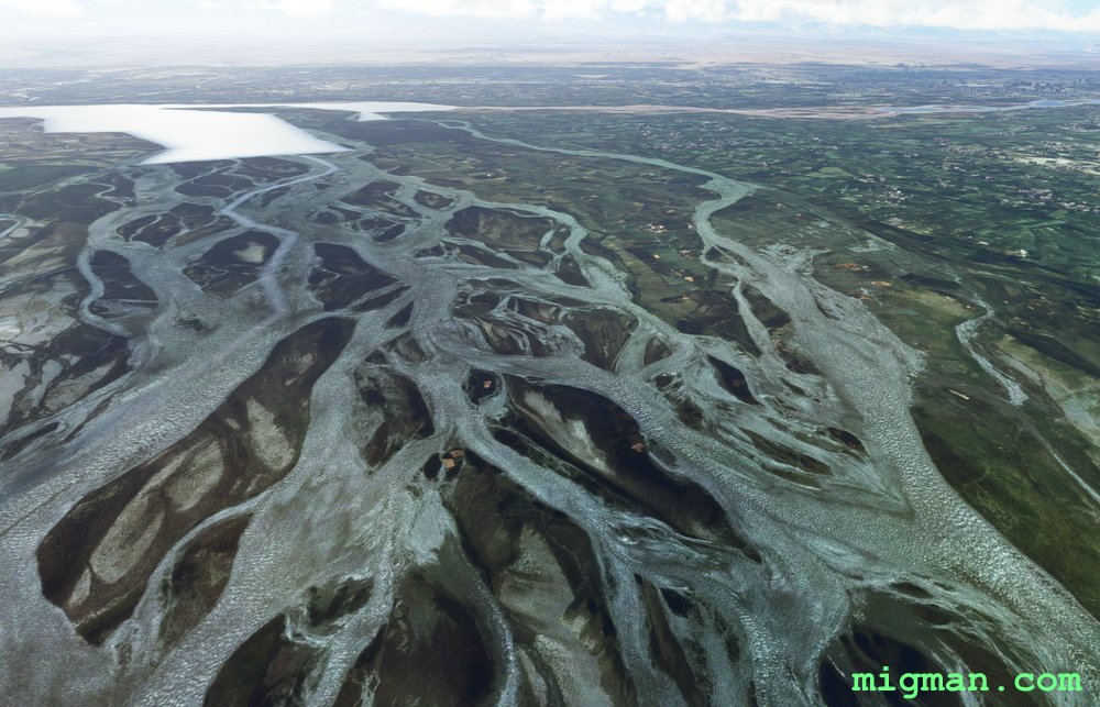
WP 2 - Daronta Dam is designated
WP 2 - Daronta Dam is designated
WP 2 - Daronta Dam
WP 2 - Daronta Dam
WP 2 - Daronta Dam
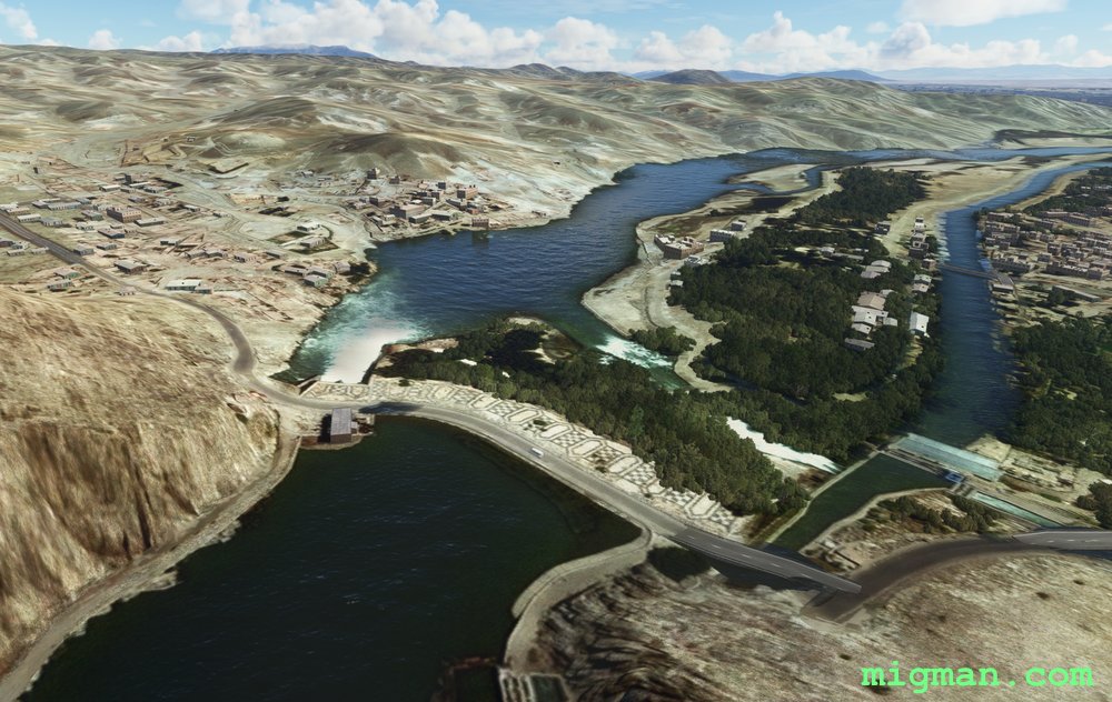
WP 2 - Daronta Dam
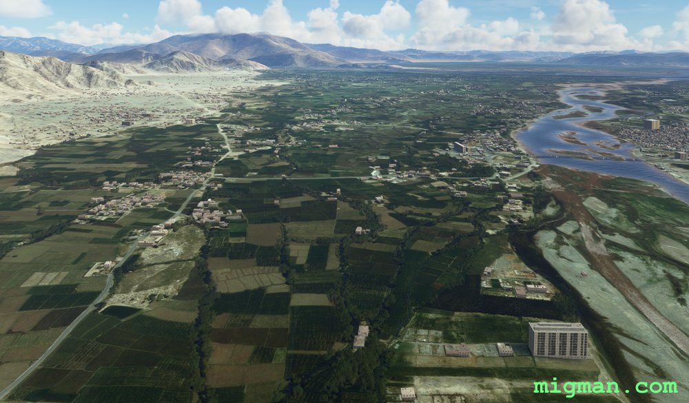
WP 3 - Kabul River | Follow the river along the edge of town
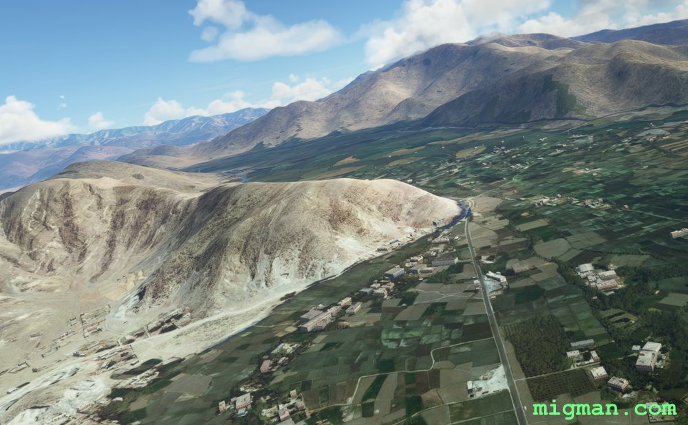
WP 4 - NE entrance to the valley
Jalalabad (OAJL)
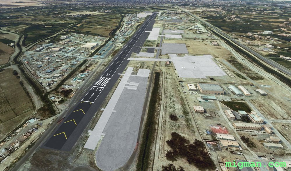
Jalalabad (OAJL)
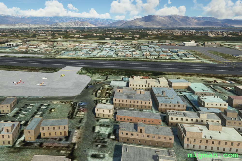
Jalalabad (OAJL)
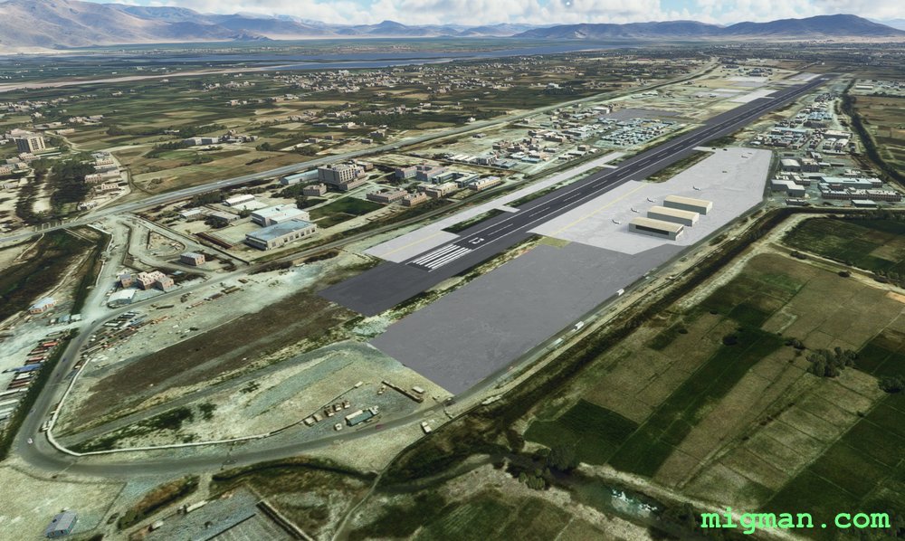
Jalalabad (OAJL)