
Algeria
Algiers, SW hinterlands
- Country: Algeria
- Locale: Algiers
- Route: Houari Boumediene (DAAG) to Houari Boumediene (DAAG)
- Distance: 55 nm
- File name: algeria-DAAG-to-DAAG-VFR-210911
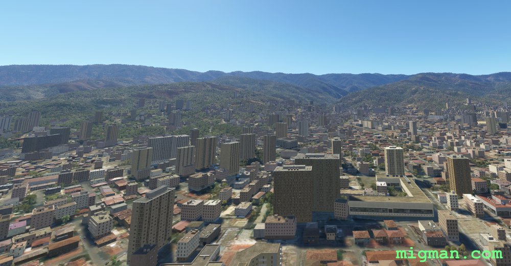
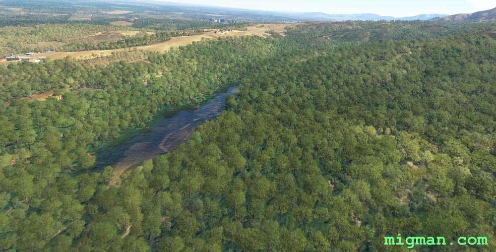
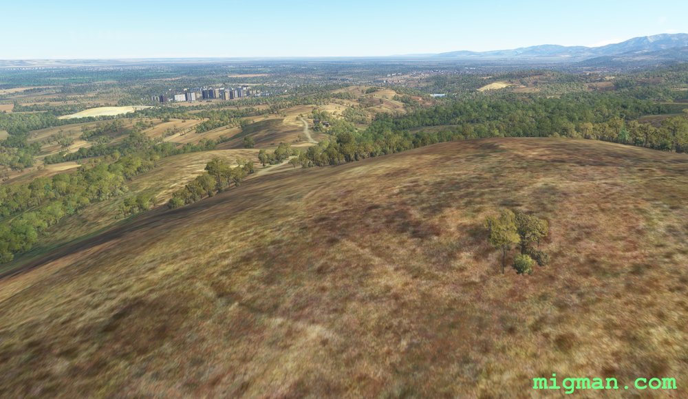
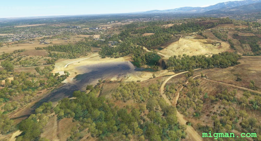
Visit the hinterlands south west of Algiers. Bougara and Chebel are reatively small towns surrounded by rural landscape, and so are good navigation fixes from the air. The other waypoints are the more usual choice of airports and bridges.
Waypoints
- WP 1 - Bougara
- WP 2 - Chebel
- WP 3 - Boufarik Airport
- WP 4 - Blida Airport
- WP 5 - Bridge on the Chiffa River
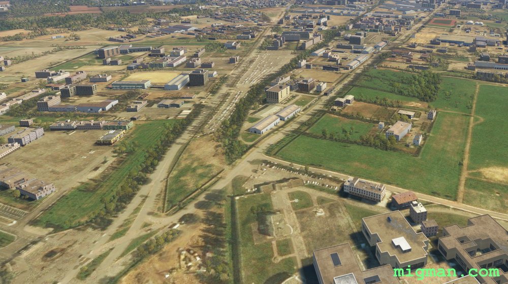
- Pass EAST over Blida, Bouinan and Selama to El Arba
- WP 6 - Bridge at El Arba
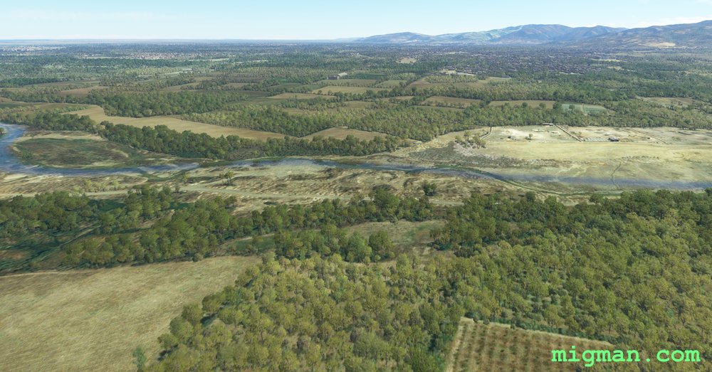
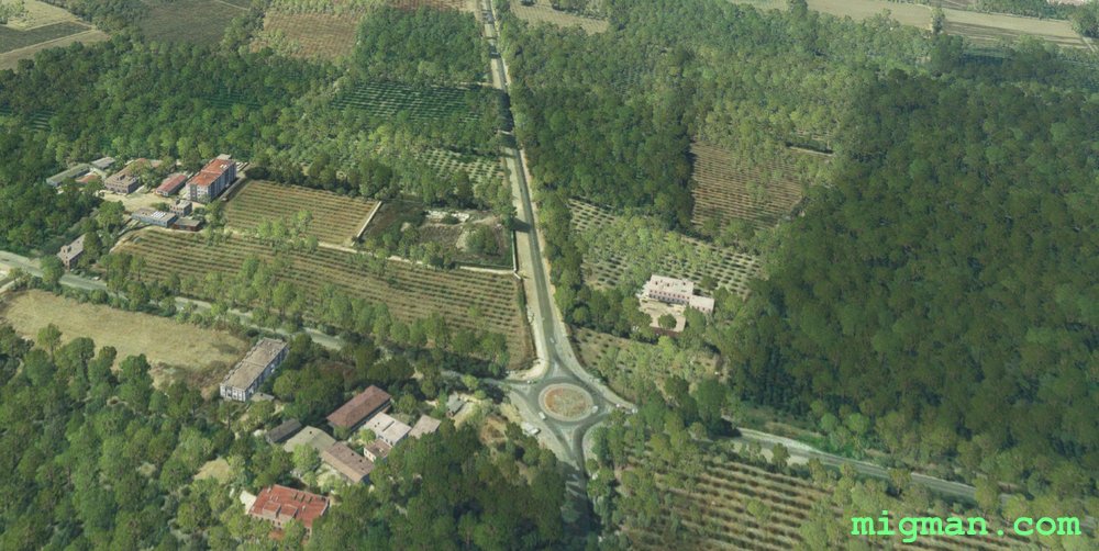 Half way to WP 1
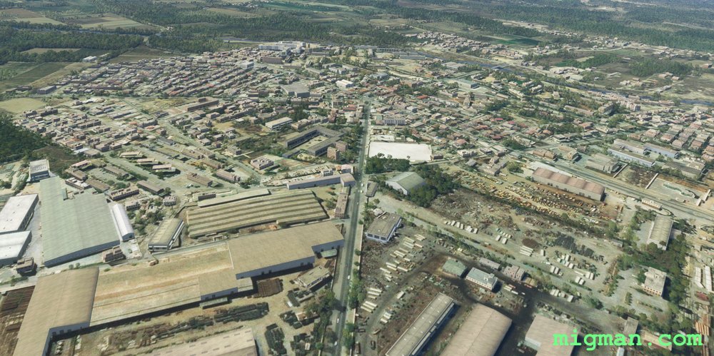 WP 1 - Bougara
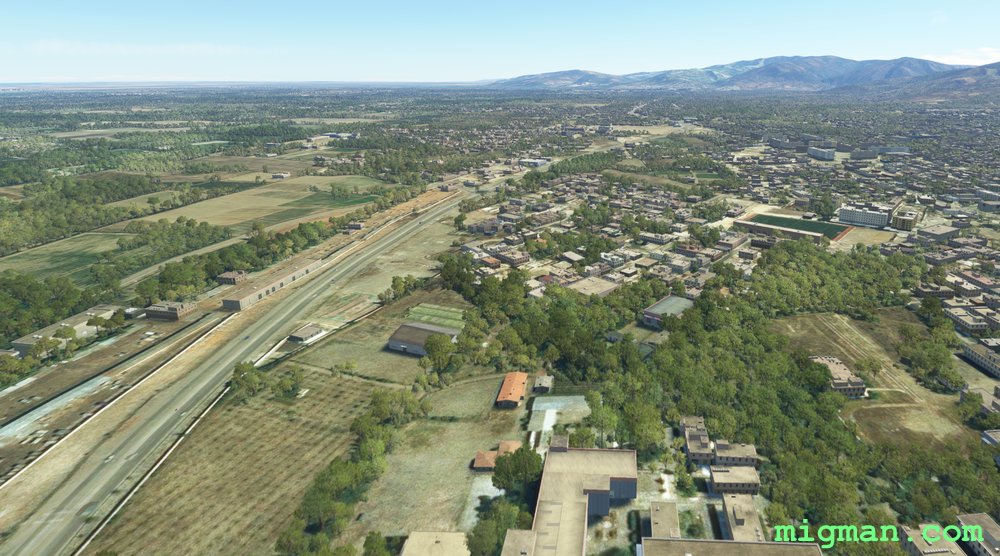
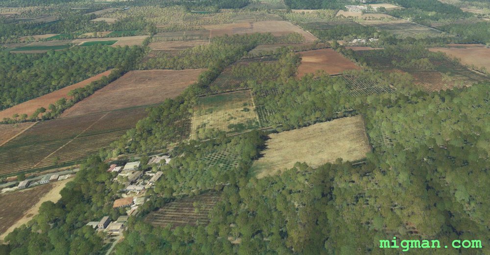 Half way to WP 2
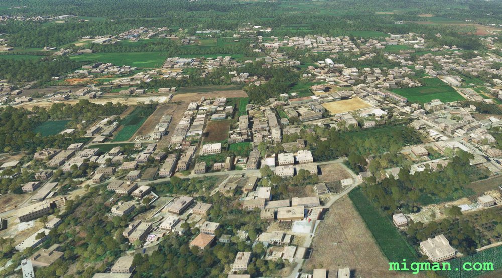 WP 2 - Chebel
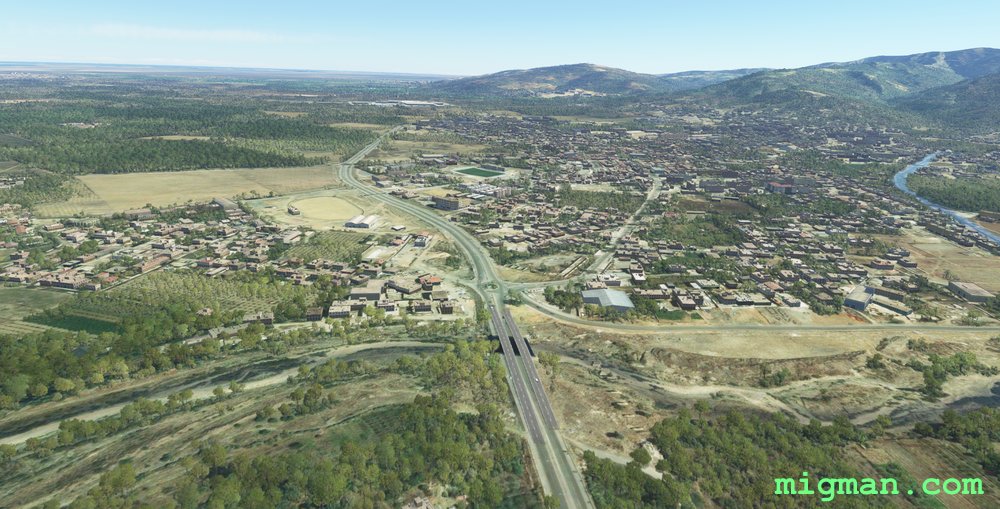
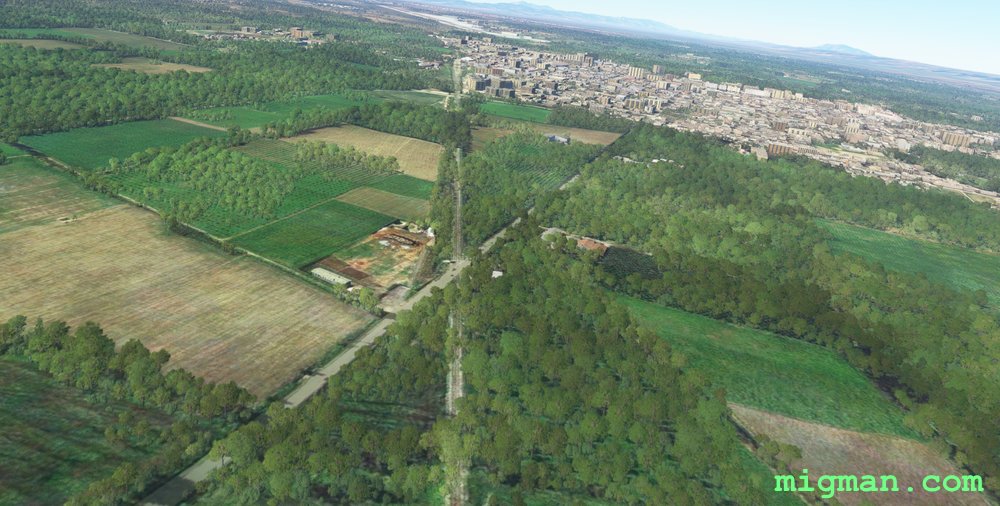 Half way to WP 3
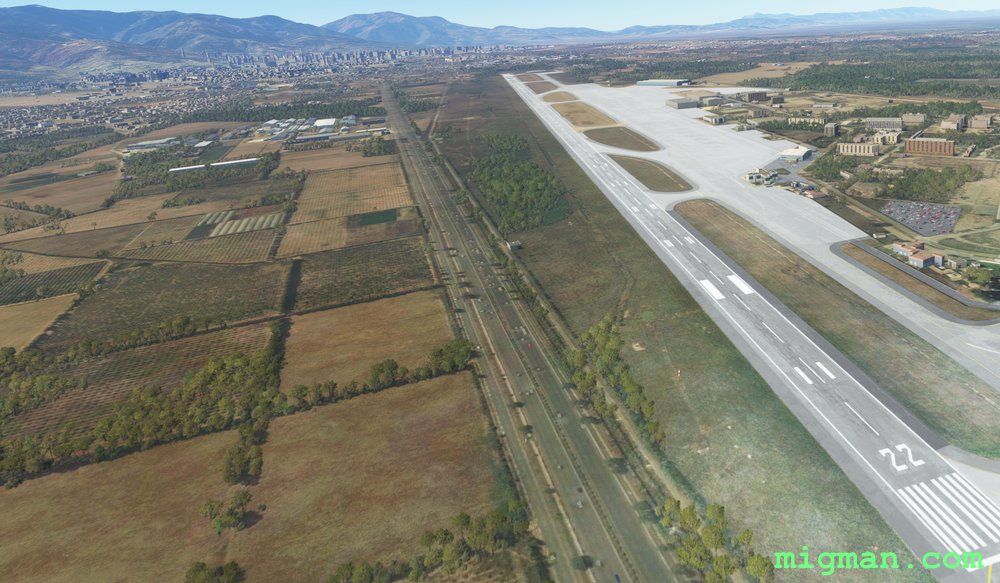 WP 3 - Boufarik Airport
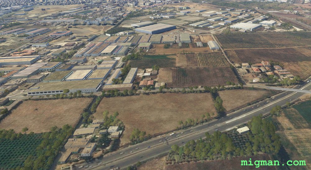 Half way to WP 4
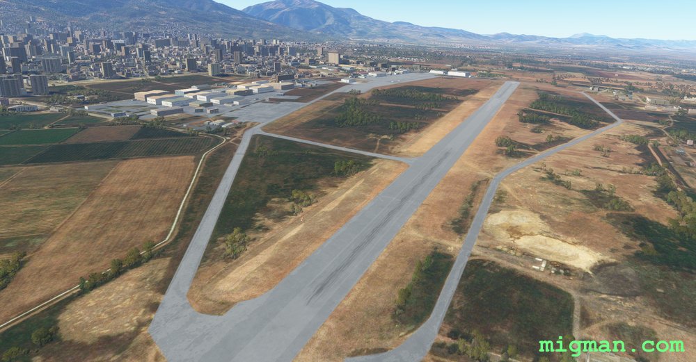 WP 4 - Blida AirportScenery betwen WP 4 and WP 5
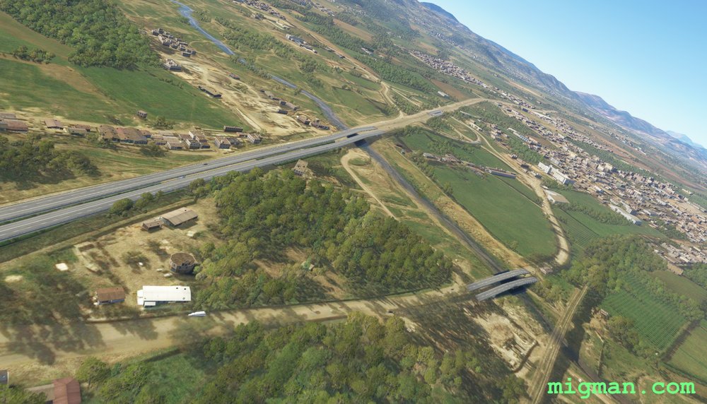
 WP 5 - Bridge on the Chiffa River