Algeria
Algiers Heights
- Country: Algeria
- Locale: Algiers
- Route: Houari Boumediene (DAAG) to Houari Boumediene (DAAG)
- Distance: 31 nm
- File name: algeria-DAAG-to-DAAG-VFR-210912
Waypoints
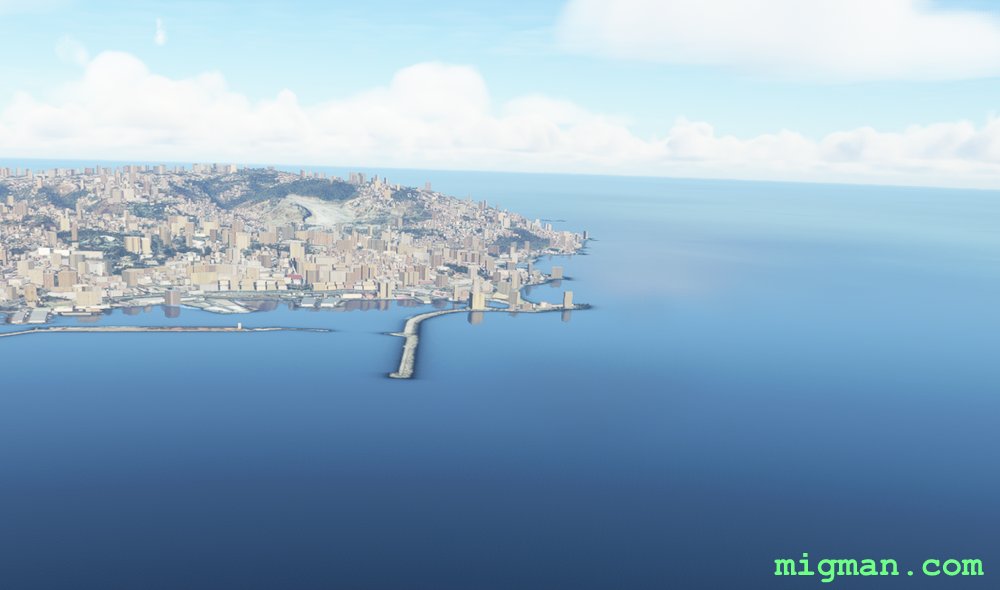
- WP 1 - NW harbour in the Bay of Algiers
- WP 2 - 3rd lake in Deli Ibrahim Park
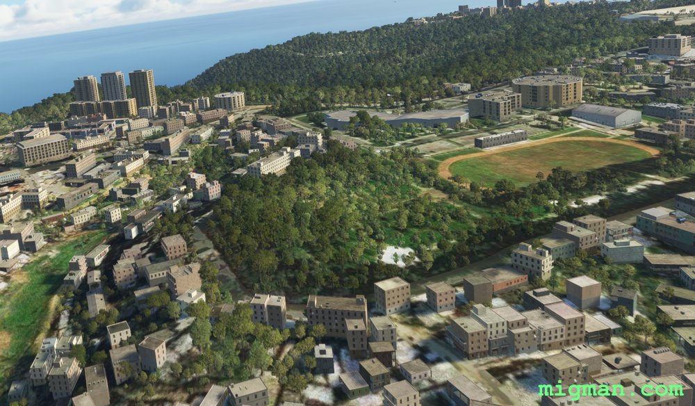
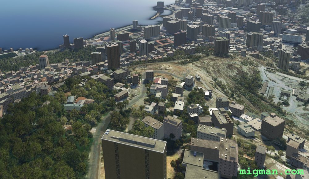
- WP 3 - Playing field at Bousmaha. | The 3 tall buildings 1/2 nm to the left are visible from several miles away.
- WP 4 - Hilltop overlooking the NW harbour in the Bay of Algiers
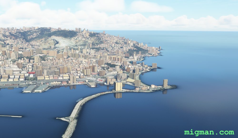
- WP 5 - NW harbour in the Bay of Algiers
Approaching WP 1
Waypoint 1
WP 1 - NW harbour in the Bay of Algiers
Approaching WP 2
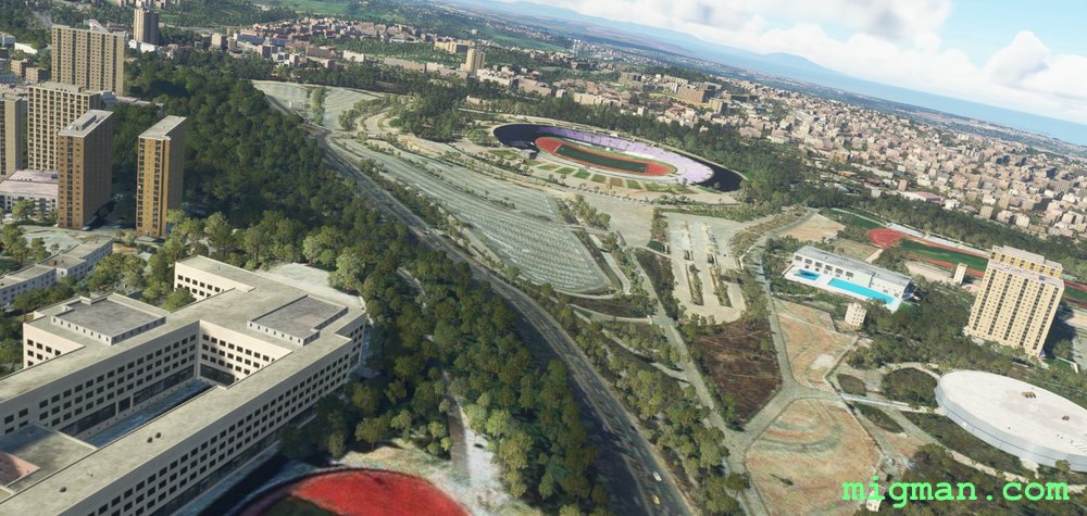
Waypoint 2
WP 2 - 3rd lake in Deli Ibrahim Park
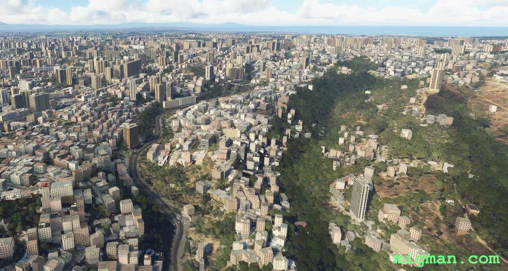
Approaching WP 3
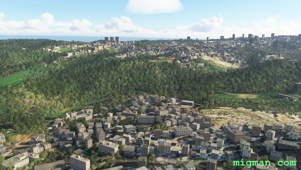
Approaching WP 3
Waypoint 3
WP 3 - Playing field at Bousmaha. | The 3 tall buildings 1/2 nm to the left are visible from several miles away.
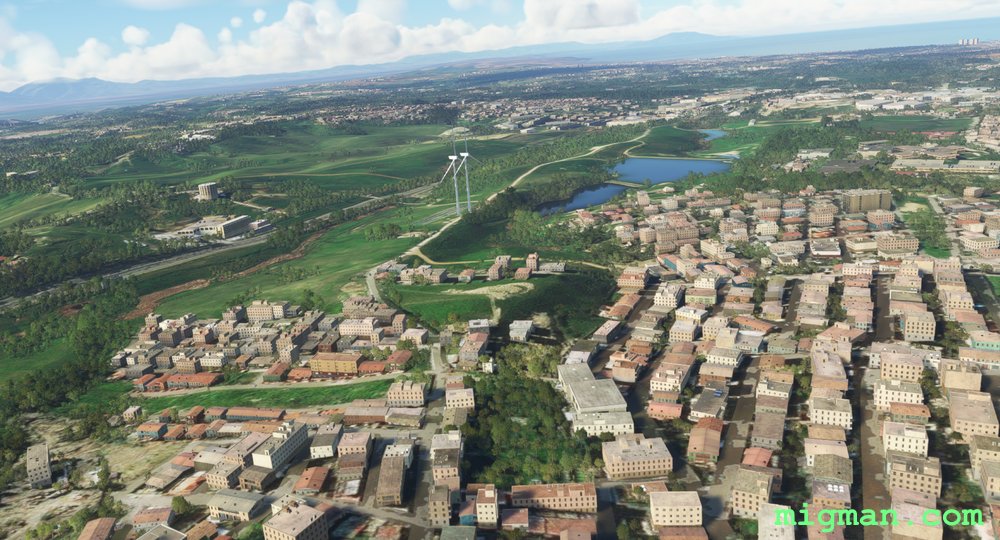
Approaching WP 4
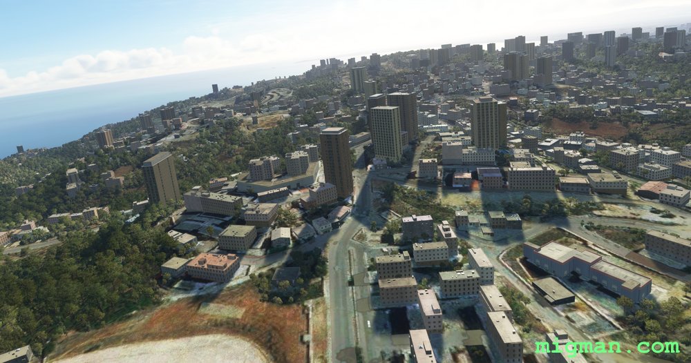
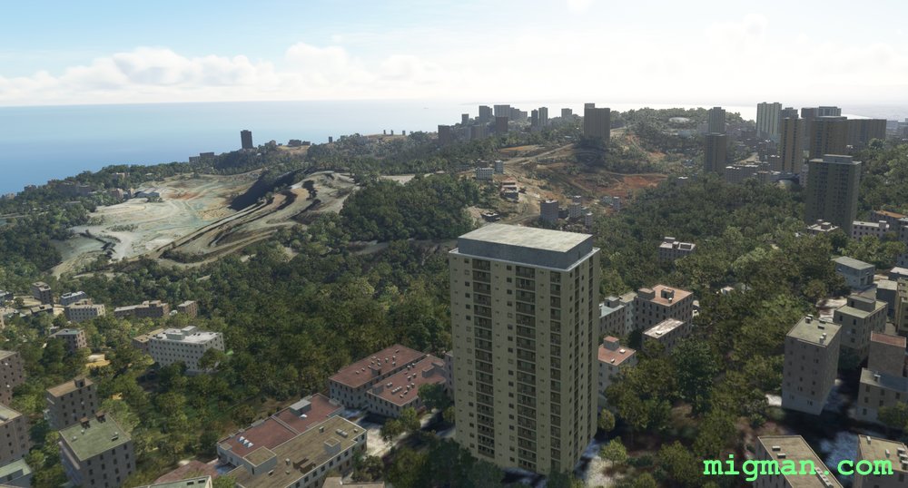
The views to the left (North) are spectacular.
Waypoint 4
WP 4 - Hilltop overlooking the NW harbour in the Bay of Algiers
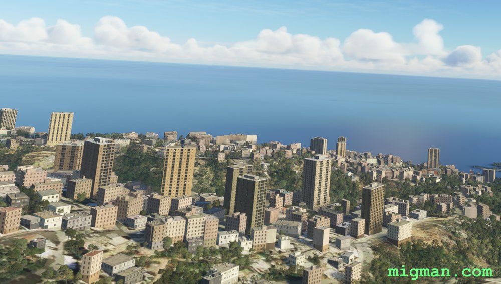
Waypoint 5
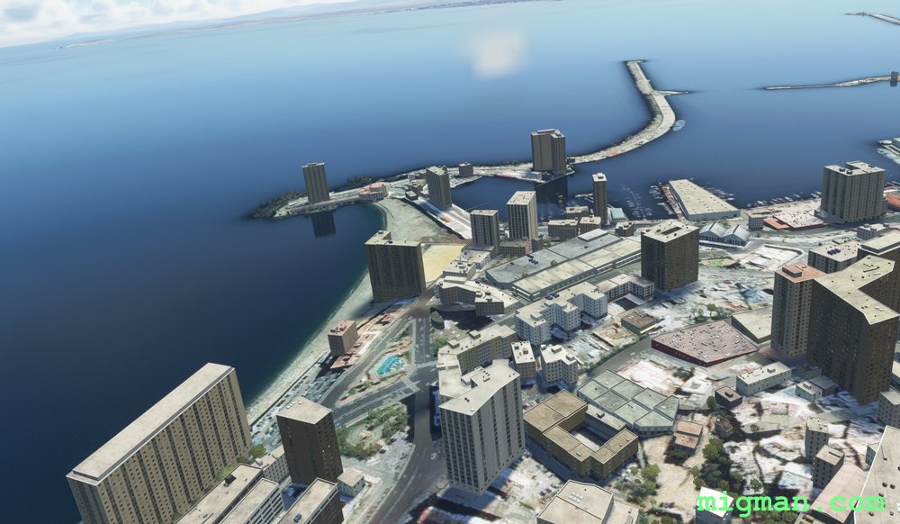
WP 5 - NW harbour in the Bay of Algiers. The same spot as Waypoint 1.
WP 6 - Land at DAAG Houari Boumediene Airport.
Africa 1