
Australia
Ballina to Byron via Twin Towns
Description
Byron Bay was traditionally a sanctuary for 'Age of Aquarians', which peaked in the 1960s. Nowadays it remains a popular tourist resort and hosts an annual blues festival which looks back longingly to Woodstock and Australia's own Sunbury. Tweed Head (NSW) and Coolangatta (QLD) sit astride the N.S.W./Queensland border and are known as the "Twin Towns".
Nav data
- Country: Australia
- Locale: N.S.W. | North Coast
- Route: YBNA Ballina to YBNA Ballina
- Distance: 91, 24, 36 nm
- File name: australia-YBNA-to-YBNA-VFR-ballina-230220
Waypoints
- WP 1 - NW for 16 nm to Rocky Creek Dam
- WP 2 - NNW for 12 nm to Clarrie Hall Dam
- WP 3 - NE for 21 nm the Tweed River passing Murwillumbah, to to the South Sea Seawall at Tweed Heads
- WP 4 - S for 22 nm along the coast to Brunswick Heads
- WP 5 - SSE for 7 nm along the coast to the Cape Byron lighthouse at Byron Bay
WP 1 - NW for 16 nm to Rocky Creek Dam
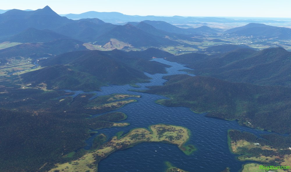
WP 2 - NNW for 12 nm to Clarrie Hall Dam
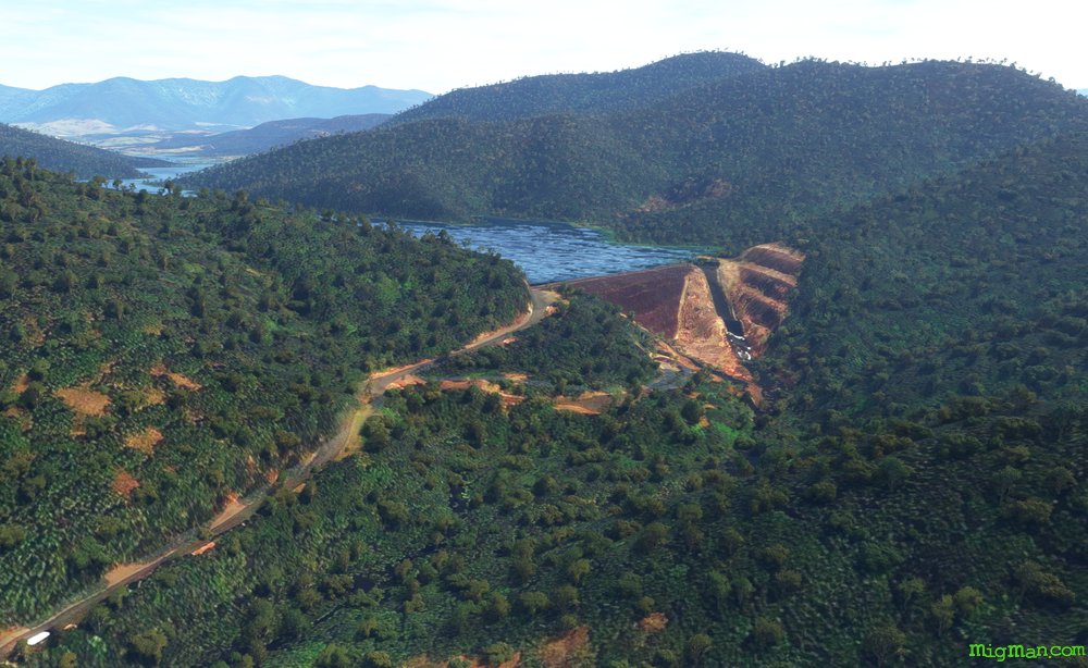
Clarrie Hall Dam looking SW
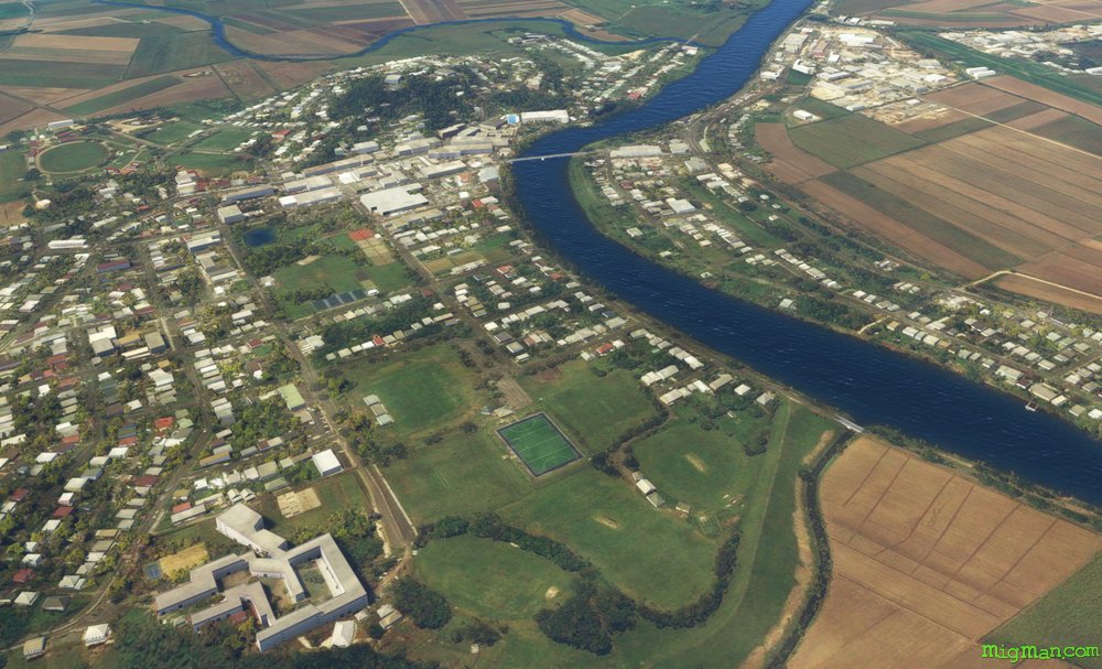
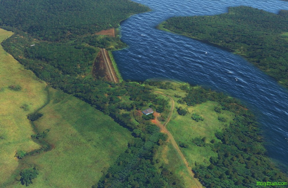
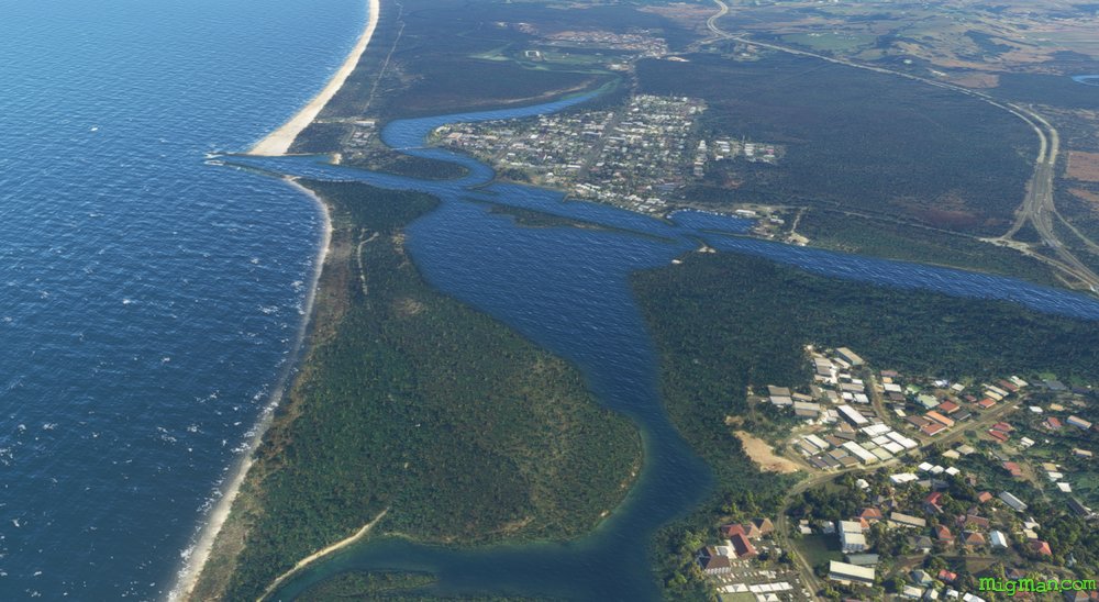
Murwillumbah
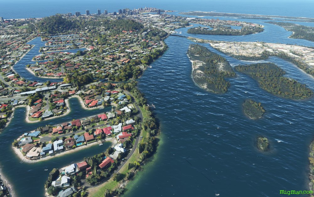
Tweed Heads
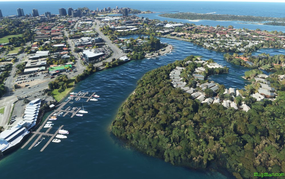
Tweed Heads
WP 3 - NE for 21 nm the Tweed River passing Murwillumbah, to to the South Sea Seawall at Tweed Heads
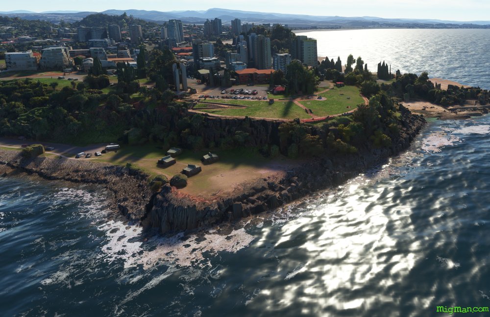
Looking north at Tweed Heads to the NSW / Queensland border
Coolangatta airport YBCG is visible, just a few miles to the north.
WP 4 - S for 22 nm along the coast to Brunswick Heads
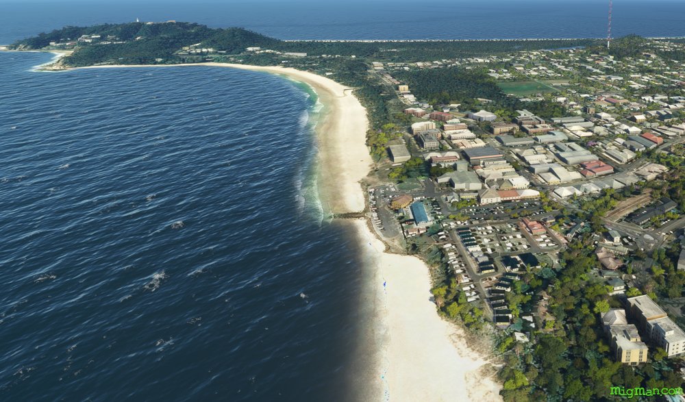
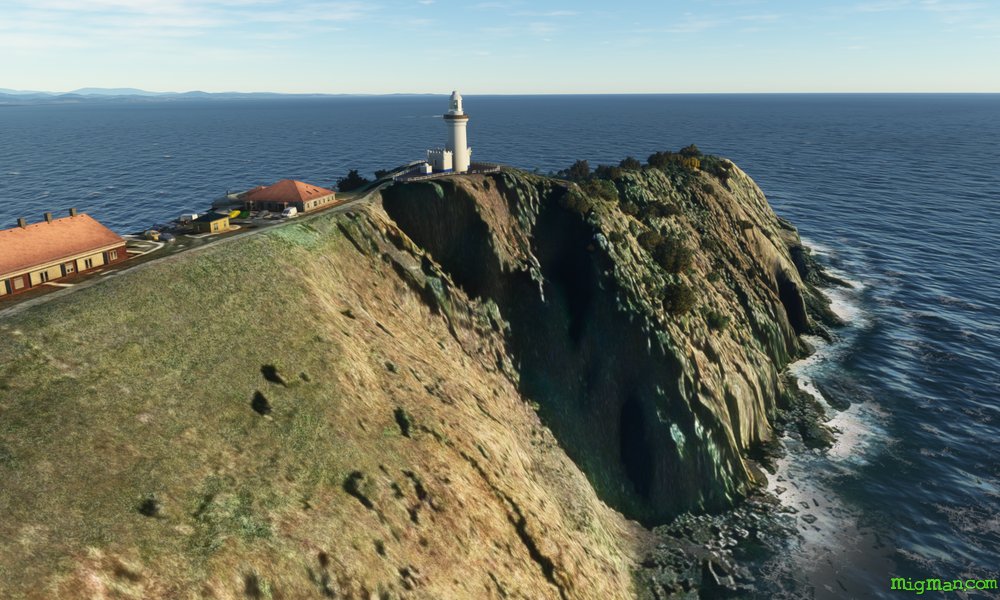
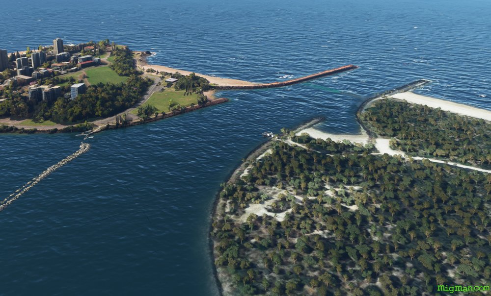
WP 5 - SSE for 7 nm along the coast to the Cape Byron lighthouse at Byron Bay
Cape Byron lighthouse
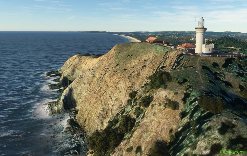
Cape Byron lighthouse
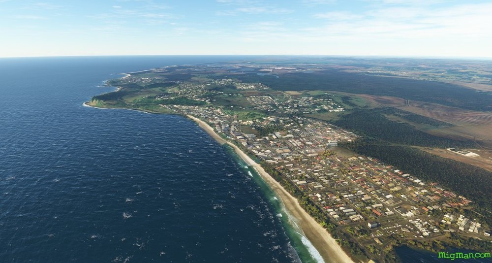
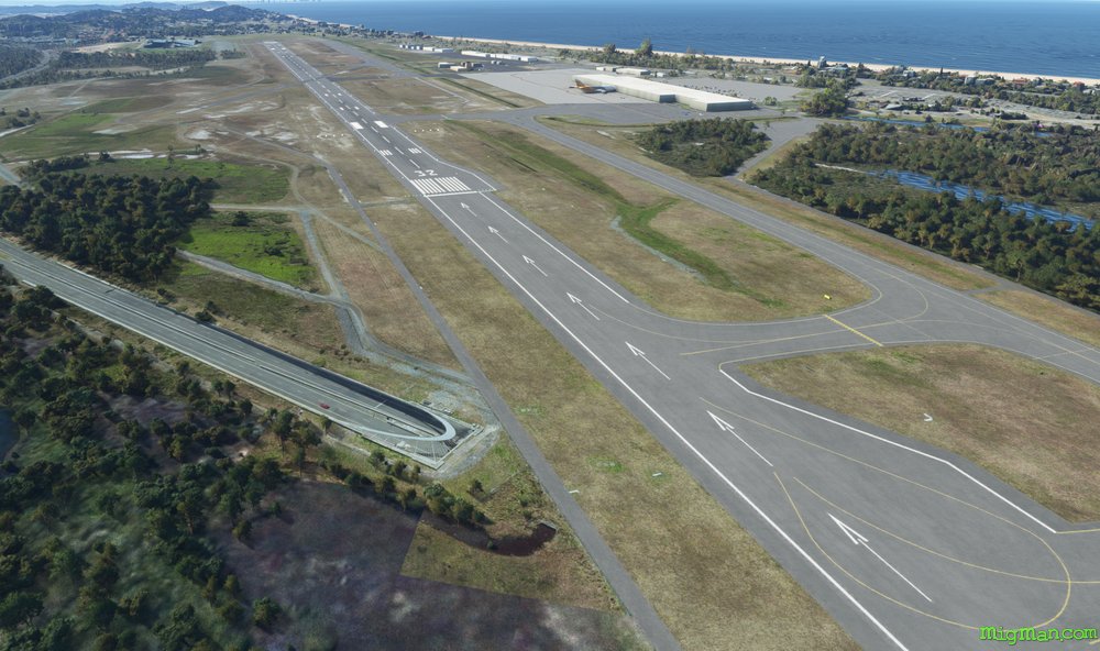
Ballina
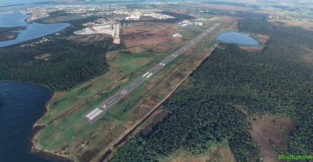
Ballina airport YBNA