
Australia
Batemans Bay, Pearl of the South
Description
Where the Clyde river flows into the Pacific Ocean, oysters thrive at Batemans Bay and this has become the basis of a thriving industry. About 10 miles west the Great Dividing Range rises out of the dense bush, forming an impressive backdrop to the golden beaches.
Nav data
- Country: Australia
- Locale: N.S.W. | South East & Tablelands
- Route: YMRY Moruya to YMRY Moruya
- Distance: 73 nm
- File name: australia-YMRY-to-YMRY-VFR-batemans-bay-230903
Waypoints
- WP 1 - Bridge over the Moruya River at Moruya
- WP 2 - N along the Princes Highway to the bridge over the Clyde River at Batemans Bay
- WP 3 - NW along the Clyde River to the bridge at Nelligen
- WP 4 - N along the Clyde River to Prospect Hill
- WP 5 - NW to The Round HIll
- WP 6 - NW to Lake Tabourie
- WP 7 - S along the coast to Burrewarra Point | Pass Bawley Point, Kiola, Pretty Beach, Durras Lake and Batemans Bay
- WP 8 - Land at Moruya YMRY
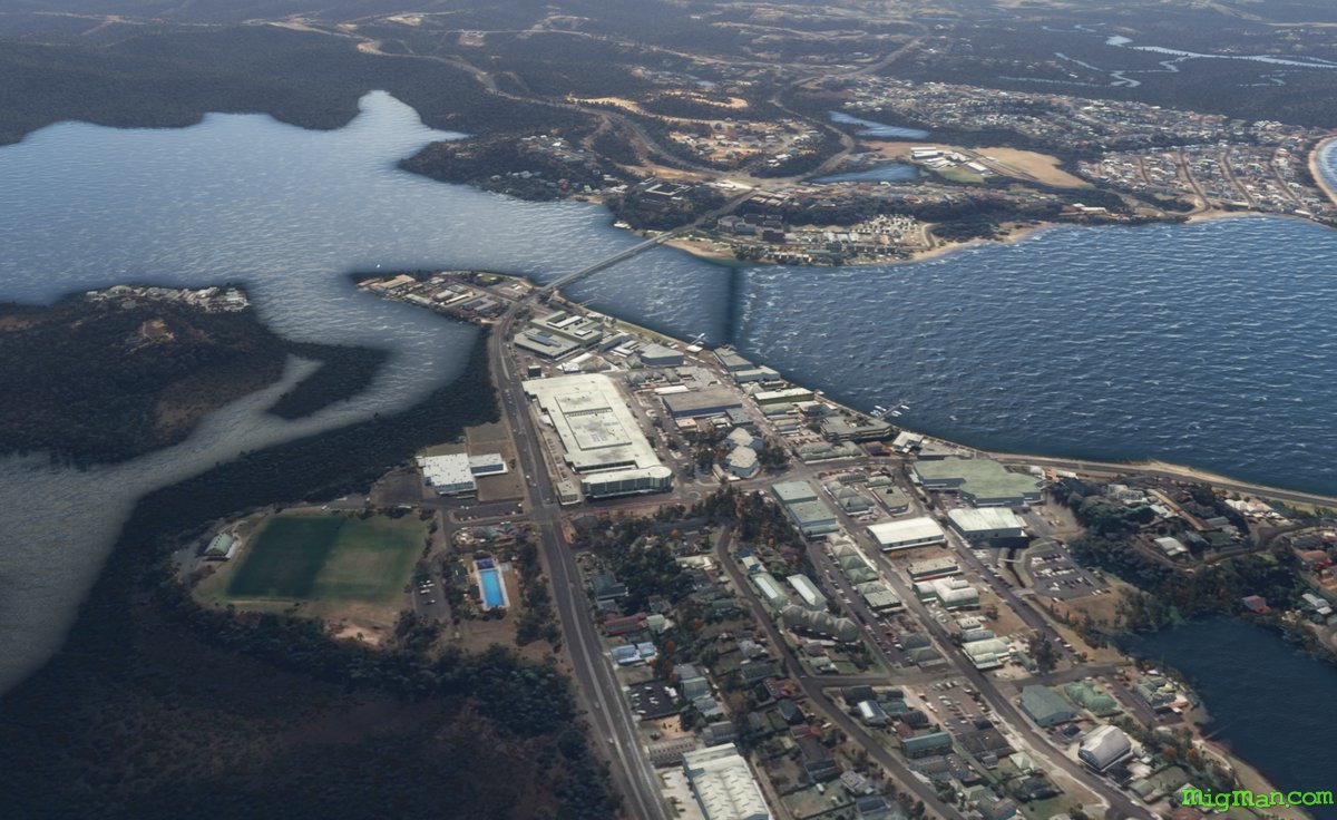
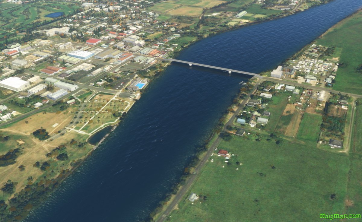 WP 1 - Bridge over the Moruya River at MoruyaWP 2 - N along the Princes Highway to the bridge over the Clyde River at Batemans Bay
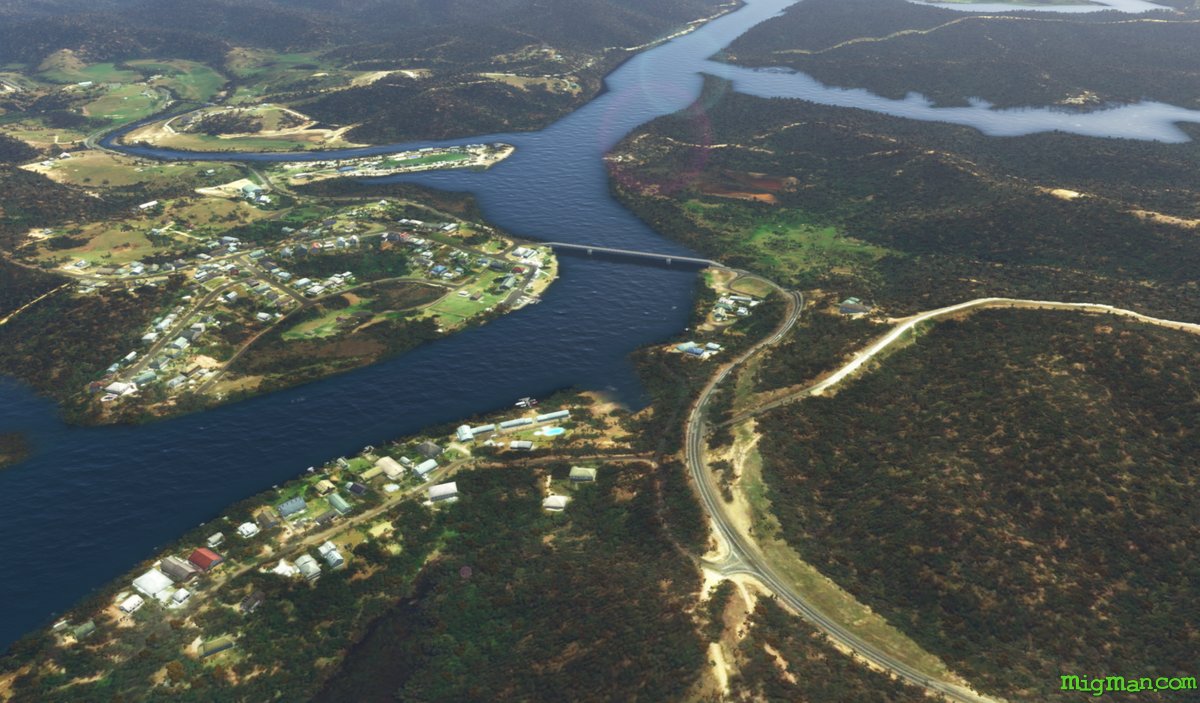 WP 3 - NW along the Clyde River to the bridge at Nelligen
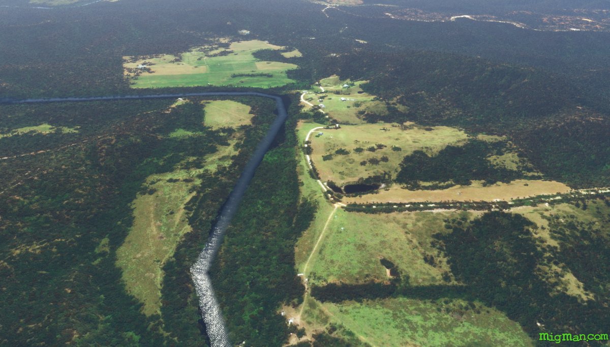 WP 4 - N along the Clyde River to Prospect Hill
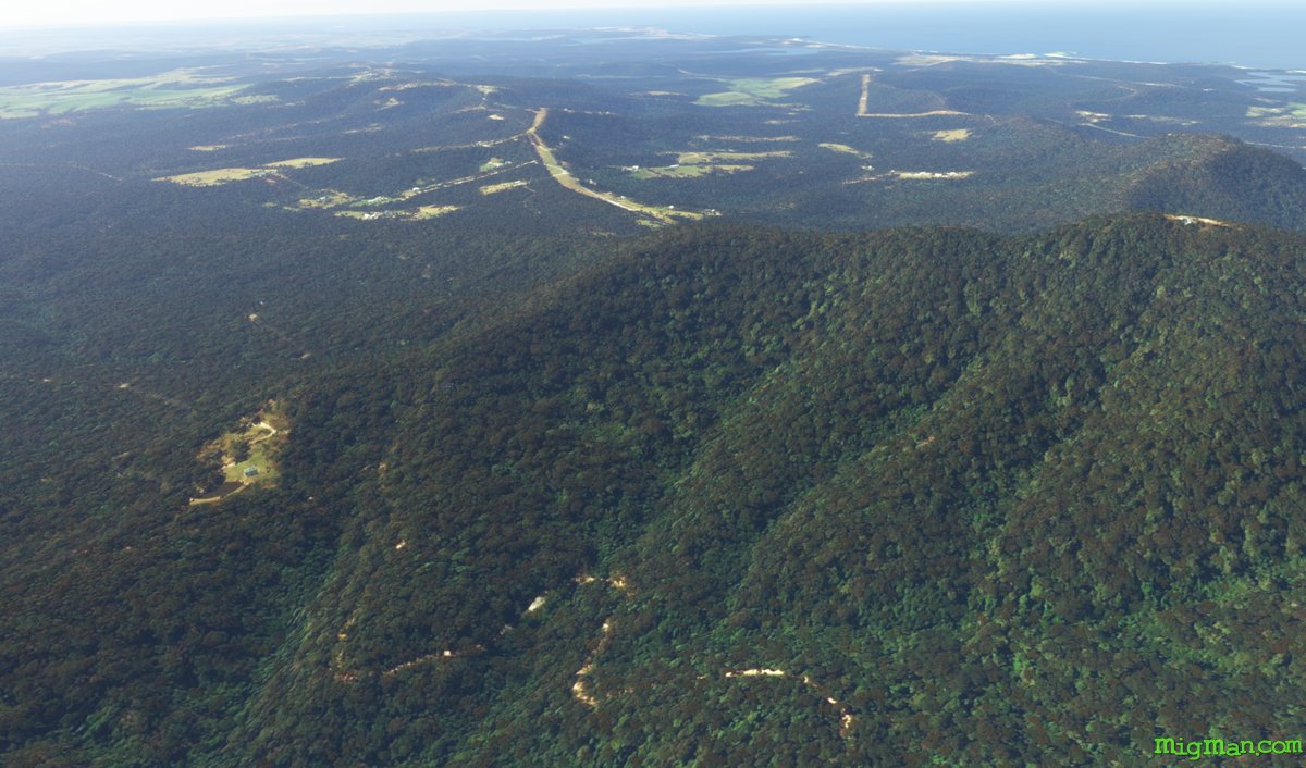 WP 5 - NW to The Round HIll
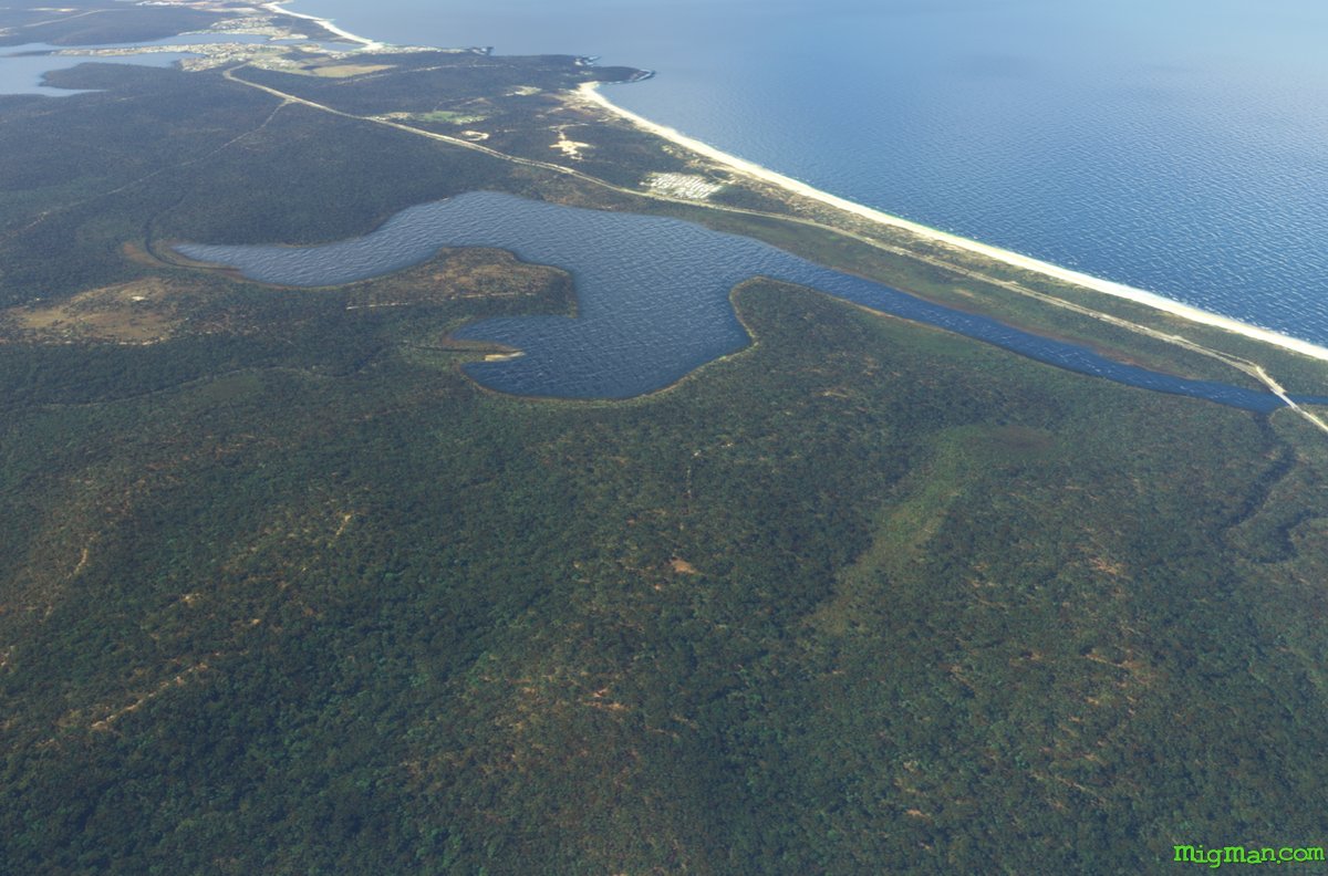 WP 6 - NW to Lake Tabourie
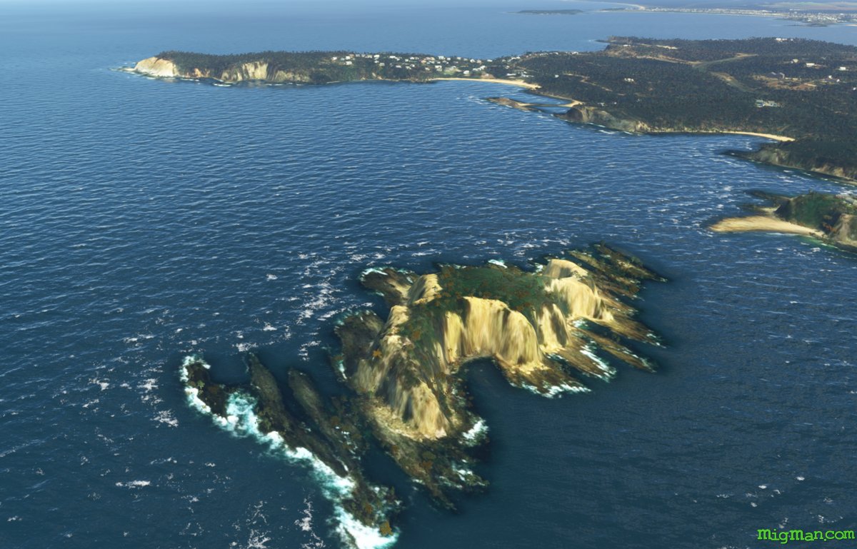 WP 7 - S along the coast to Burrewarra Point | Pass Bawley Point, Kiola, Pretty Beach, Durras Lake and Batemans Bay
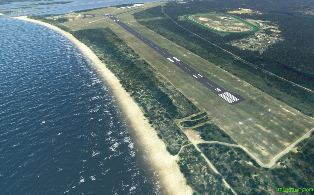 WP 8 - Land at Moruya YMRY