
Australia
Dams and Deep Space
Description
Visit the four dams which service Canberra and Queanbeyan, and the Canberra Deep Space Communication Complex.
NOTAM. Canberra airport elevation is 1,869 ft so cruise at 3,000 ft.
Nav data
- Country: Australia
- Locale: A.C.T.
- Route: YSCB Canberra to YSCB Canberra
- Distance: 84 nm
- File name: australia-YSCB-to-YSCB-VFR-canberra-cc-sth-221126
Waypoints
- WP 1 - Cotter Dam | Pass Mount Stromlo Observatory
- WP 2 - Canberra Deep Space Communication Complex
- WP 3 - Bendora Dam
- WP 4 - Corin Dam
- WP 5 - End of the main valley south of Corin Dam
- WP 6 - Fly E for 16 nm to the town of Michelago
- WP 7 - HDG 010 for 14 nm to the south end of Coogong Reservoir
- WP 8 - Coogong Dam, 1 nm E of the town of Coogong
 Mount Stromlo Observatory
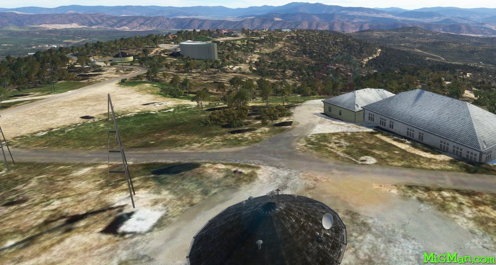 Mount Stromlo Observatory
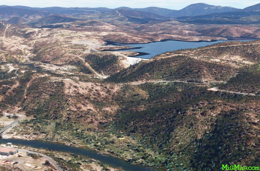 WP 1 - Cotter Dam
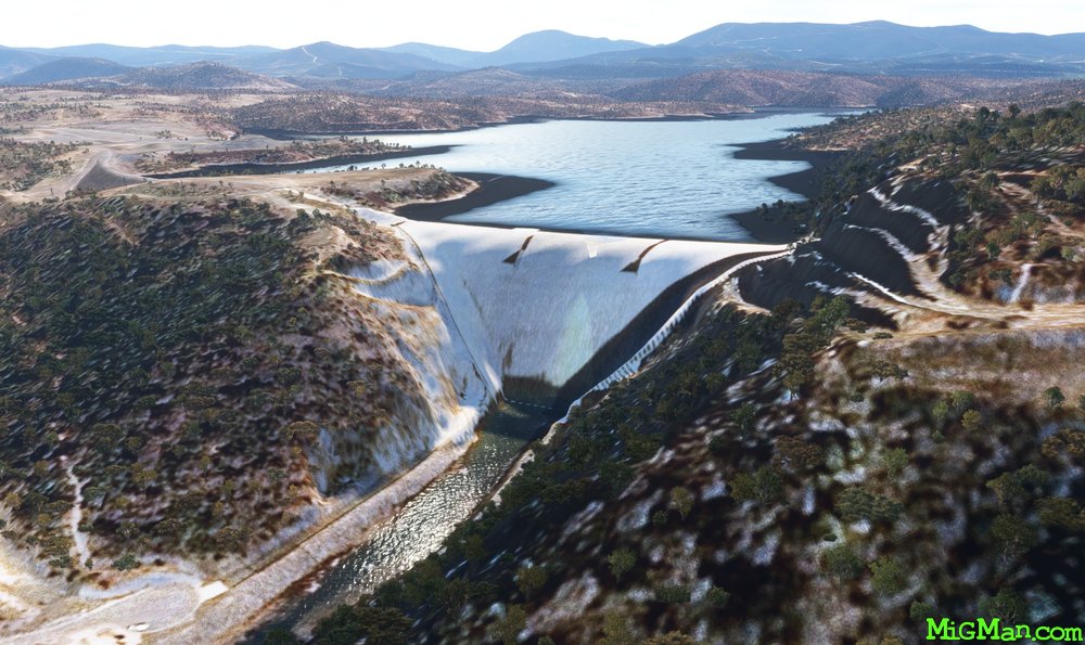 WP 1 - Cotter Dam
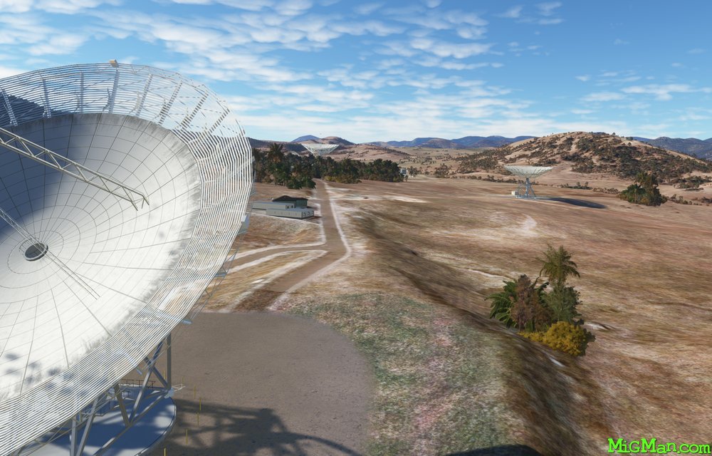
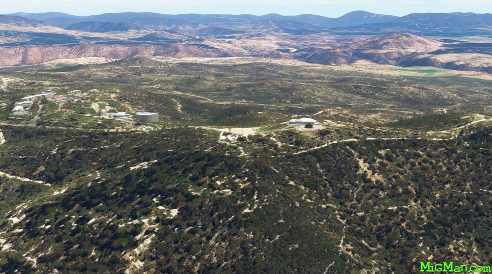
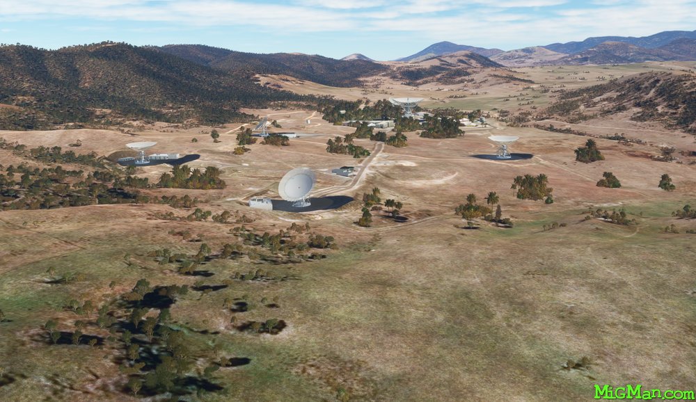 WP 2 - Canberra Deep Space Communication Complex
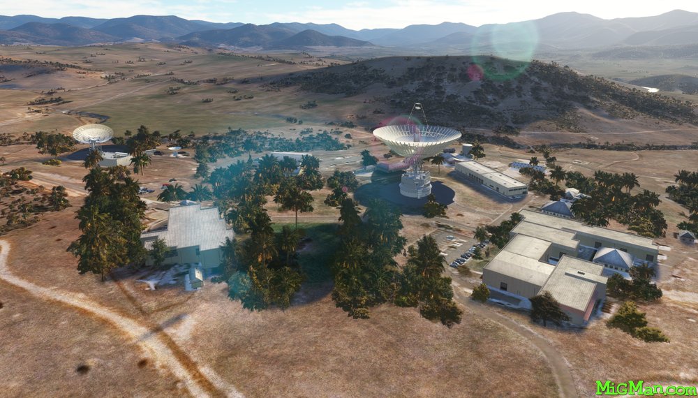 WP 2 - Canberra Deep Space Communication Complex
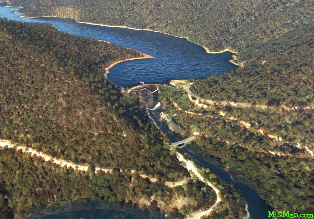 WP 3 - Bendora Dam
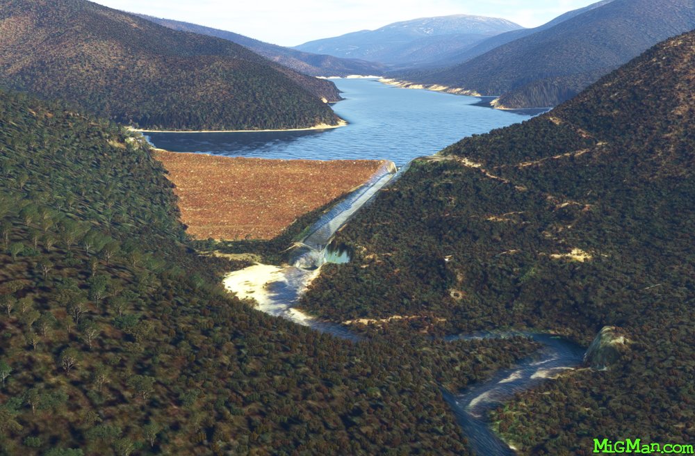 WP 4 - Corin Dam
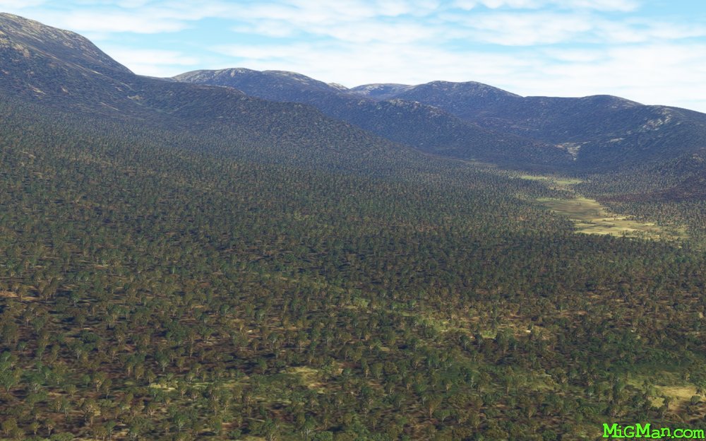 WP 5 - End of the main valley south of Corin Dam
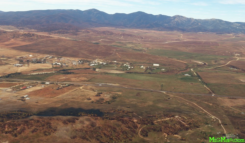 WP 6 - Fly E for 16 nm to the town of Michelago
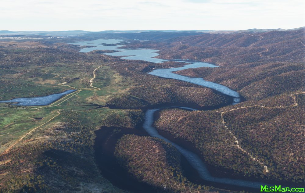 WP 7 - HDG 010 for 14 nm to the south end of Coogong Reservoir
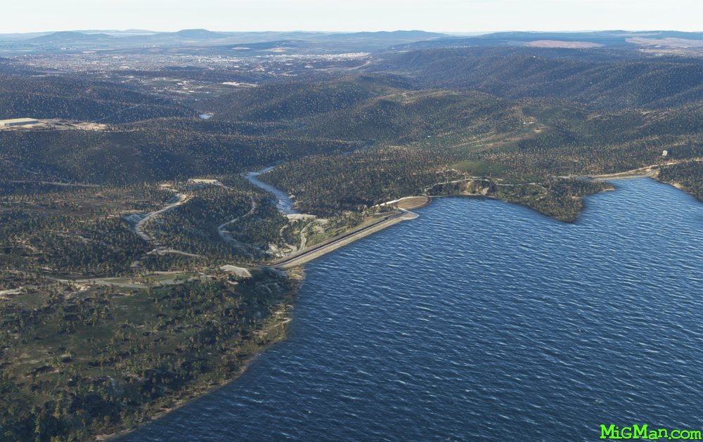 WP 8 - Coogong Dam, 1 nm E of the town of Coogong
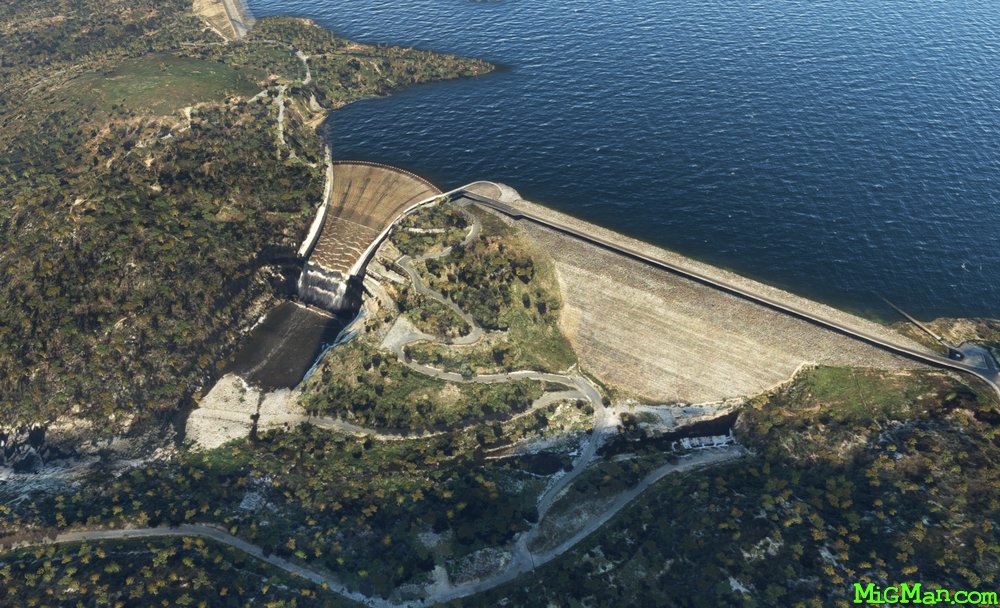 Coogong Dam | Drone image
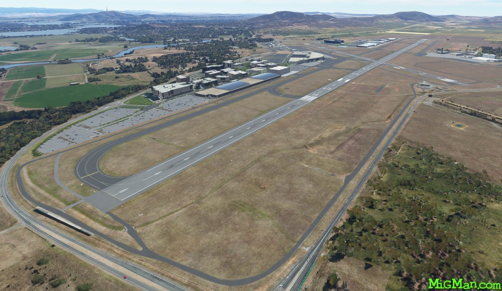 YSCB Canberra