
Australia
King George
Description
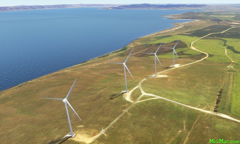
Follow the King's Highway east out of Canberra and then fly over Lake George, the largest body of water near the A.C.T. I like to alternate my flights over Lake George between the wind farms on the eastern shore and the following the base of the ridge on the western shore. George V was monarch of the United Kingdom and the British Commonwealth until 1936.
NOTAM: Canberra airport elevation is 1,869 ft so cruise at 3,000 ft above sea level.
Nav data
- Country: Australia
- Locale: A.C.T.
- Route: YSCB Canberra to YSCB Canberra
- Distance: 54 nm
- File name: australia-YSCB-to-YSCB-VFR-canberra-george-221127
Waypoints
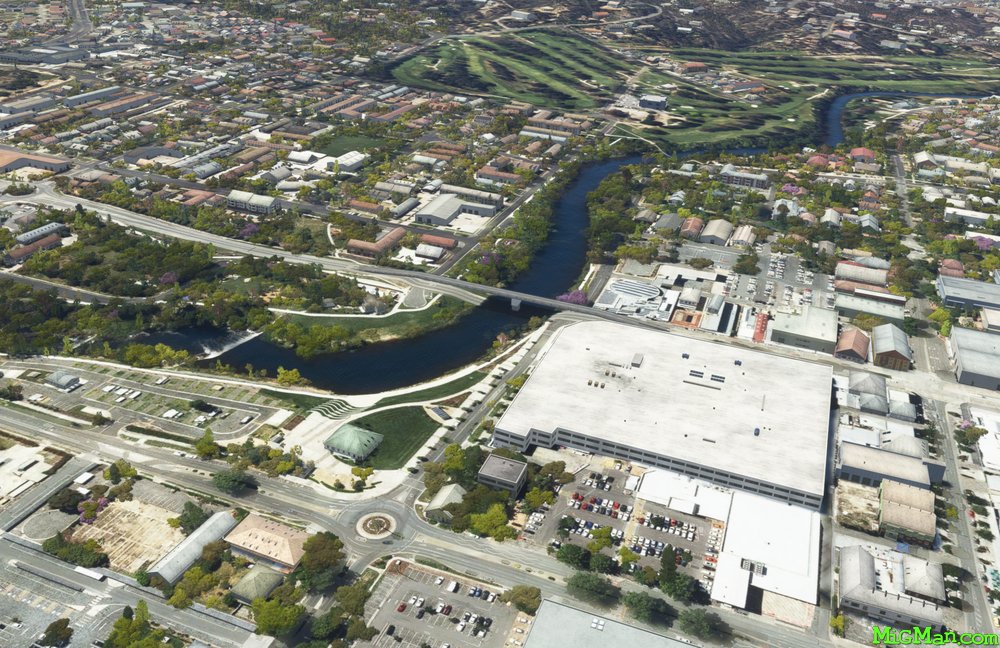
- WP 1 - Bridge at Queanbeyan | Follow the Kings Highway East
- WP 2 - Intersection at Brooks Hill | Follow the Kings Highway North East
- WP 3 - Intersection at Bungendore | Fly N along either the E or W shore of Lake George
- WP 4 - North end of Lake George
- WP 5 - Gundaroo Airport YGDO
- WP 6 - Intersection of Sutton Road (N-S) and Federal Highway (E-W)
 WP 1 - Bridge at Queanbeyan | Follow the Kings Highway East
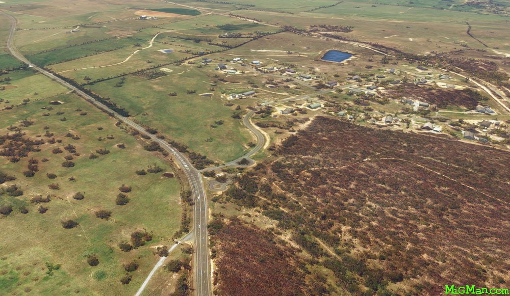 WP 2 - Intersection at Brooks Hill | Follow the Kings Highway North East
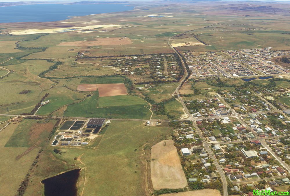 WP 3 - Intersection at Bungendore | Fly N along either the E or W shore of Lake GeorgeLake George: eastern shore
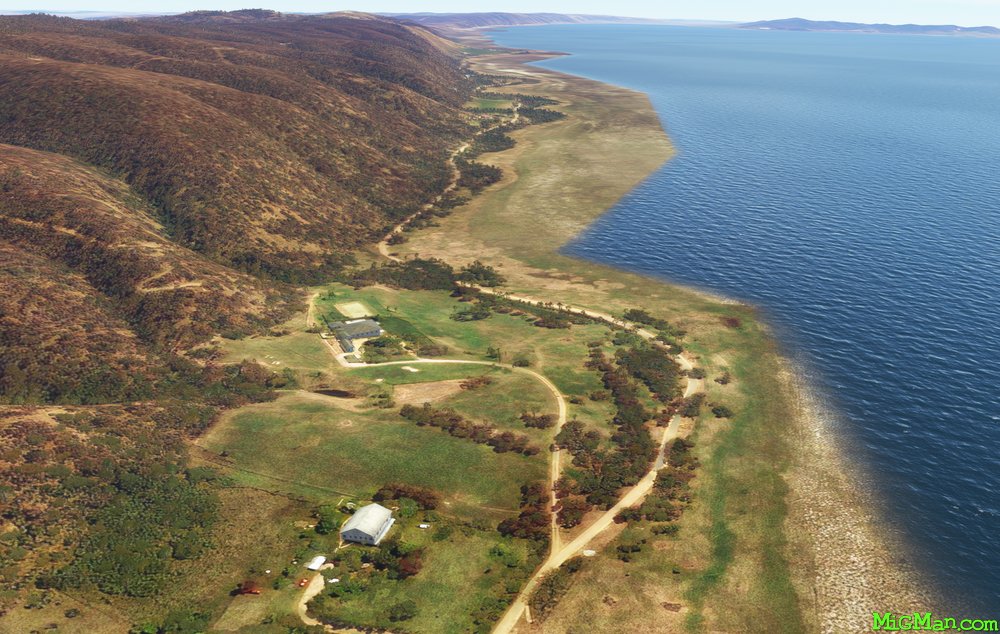 Lake George: western shore
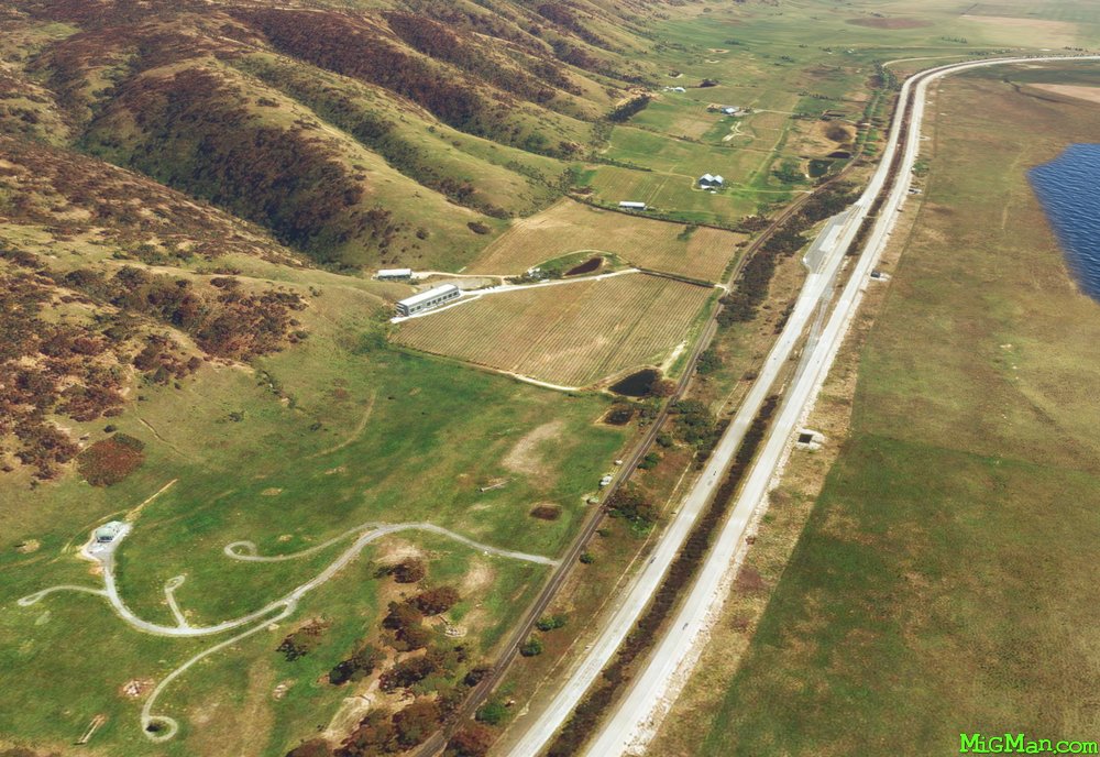 WP 4 - North end of Lake George
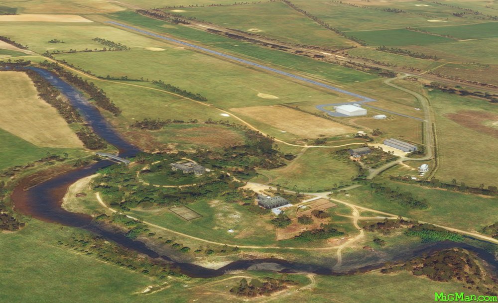 WP 5 - Gundaroo Airport YGDO
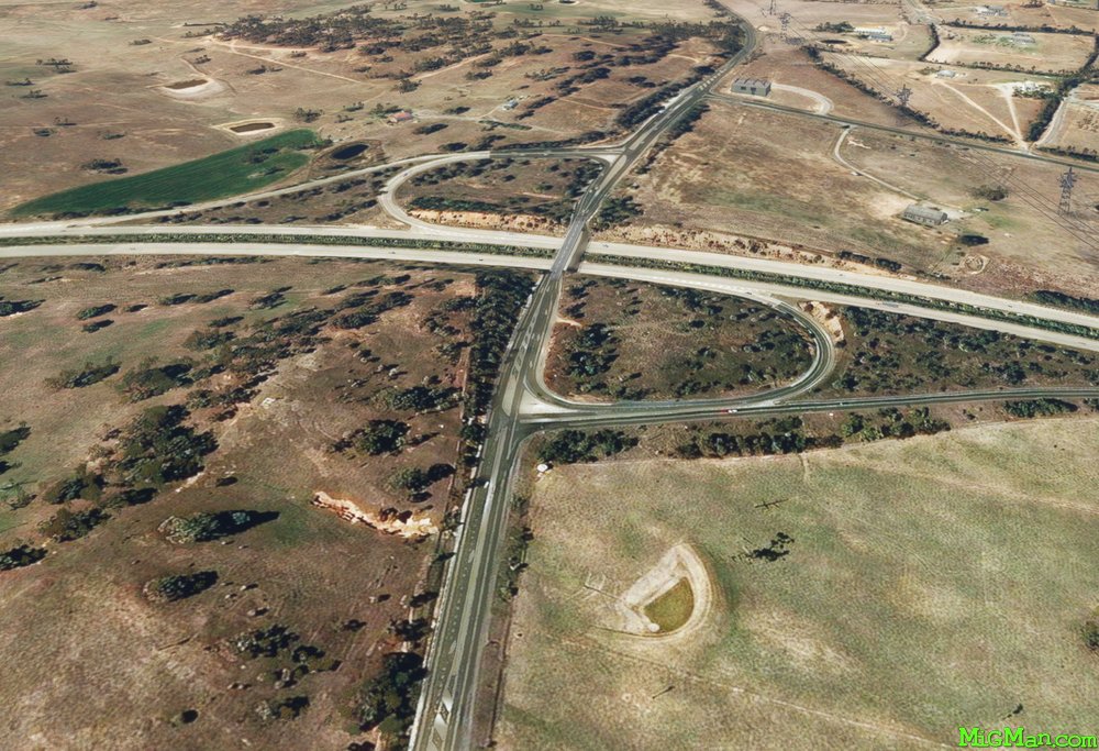 WP 6 - Intersection of Sutton Road (N-S) and Federal Highway (E-W)
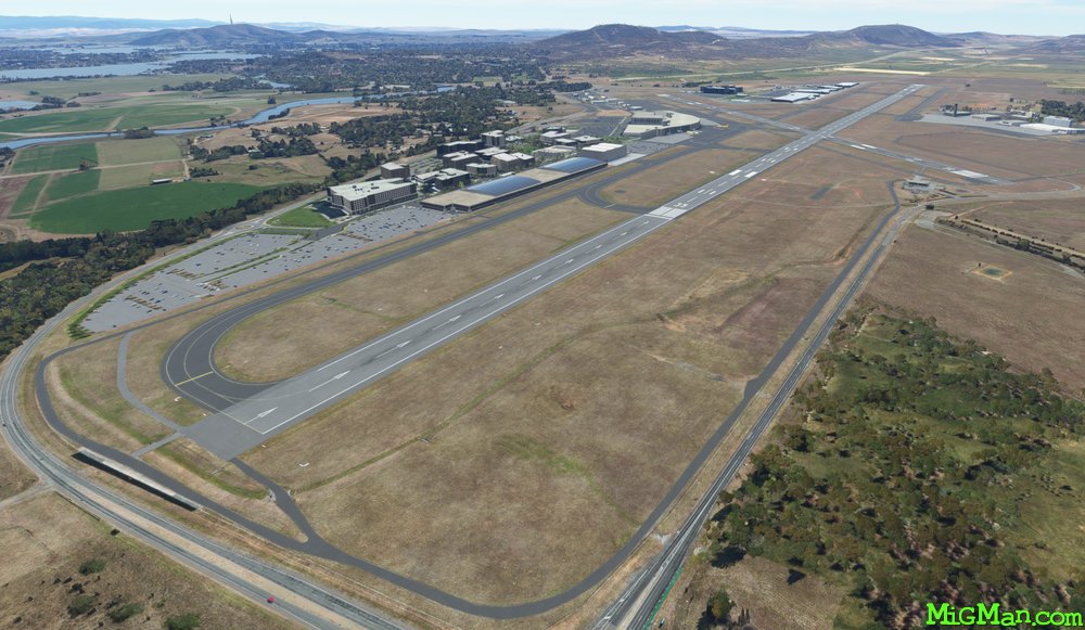 YSCB Canberra