
Australia
Cobar Gold Diggers
Description
Located in the far NW of N.S.W. at the intersection of Kidman Way and the Barrier Highway, Cobar's main activity is mining. One of the oldest, Peak Gold Mine was opened in 1896, and the CSA Mine is one of Australia's highest grade copper mines.
Nav data
- Country: Australia
- Locale: N.S.W. | Far West
- Route: YCBA Cobar to YCBA Cobar
- Distance: 8, 57 nm
- File name: australia-YCBA-to-YCBA-VFR-cobar-230606
Waypoints
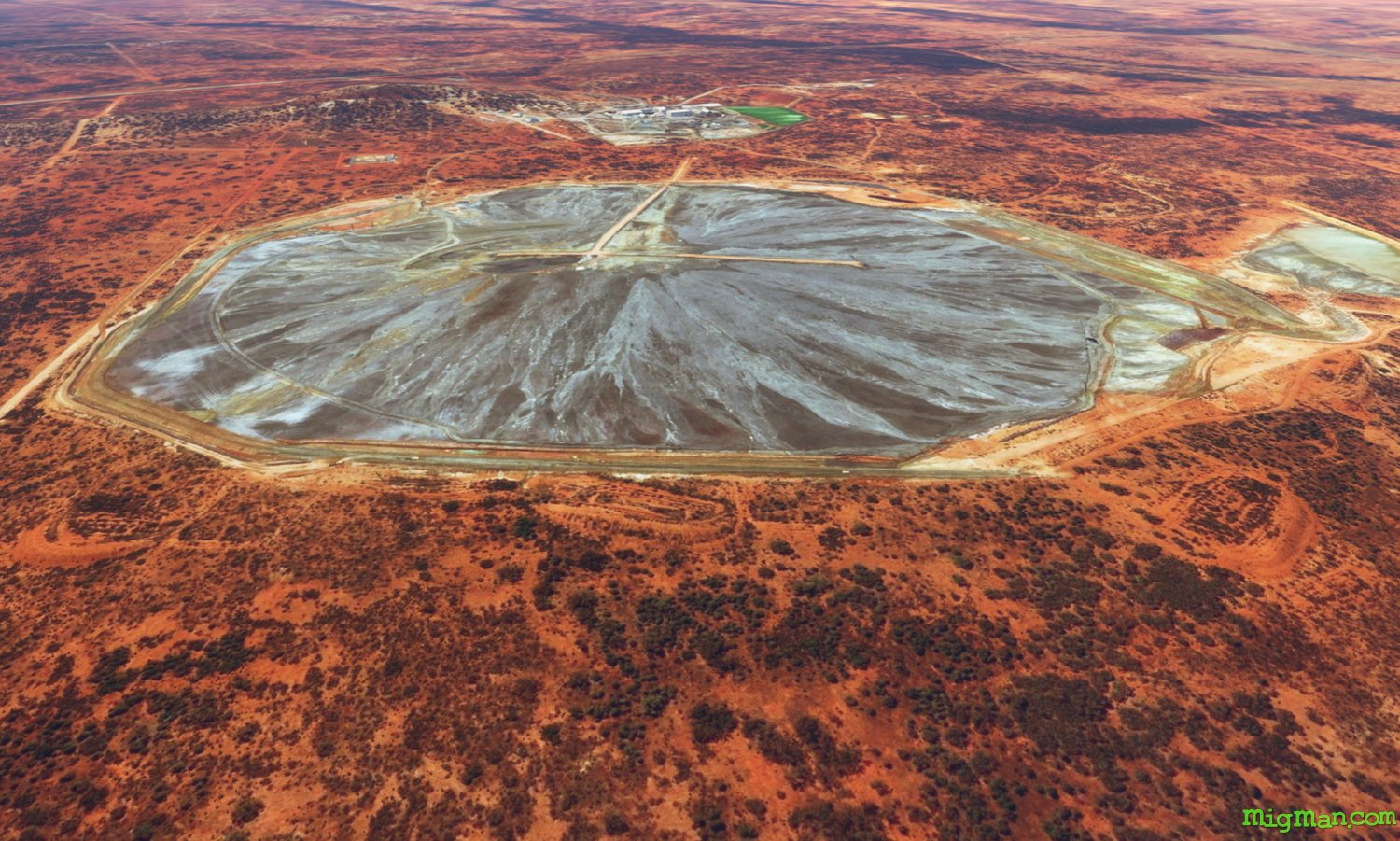
- WP 1 - SE for 4 nm to Peak Gold Mines
- WP 2 - N for 3 nm to Peak Gold Mines at Fort Bourke Hill Lookout
- WP 3 - N for 7 nm to CSA Mine
- WP 4 - NW for 16 nm along the railway to Endeavour Mine
- WP 5 - SW for 7 nm along Endeavour Mine Road to the intersection with Mulya Road
- WP 6 - SE for 15 nm along Mulya Road to Cobar Water Storages
- WP 7 - S for 5 nm to land at Cobar YCBA
WP 1 - SE for 4 nm to Peak Gold Mines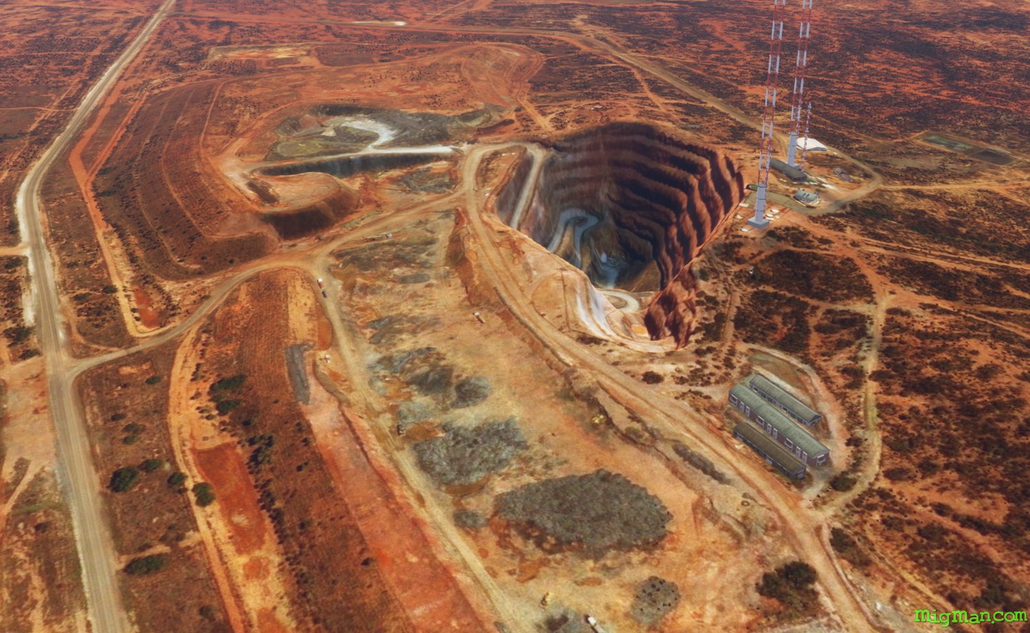 WP 2 - N for 3 nm to Peak Gold Mines at Fort Bourke Hill Lookout
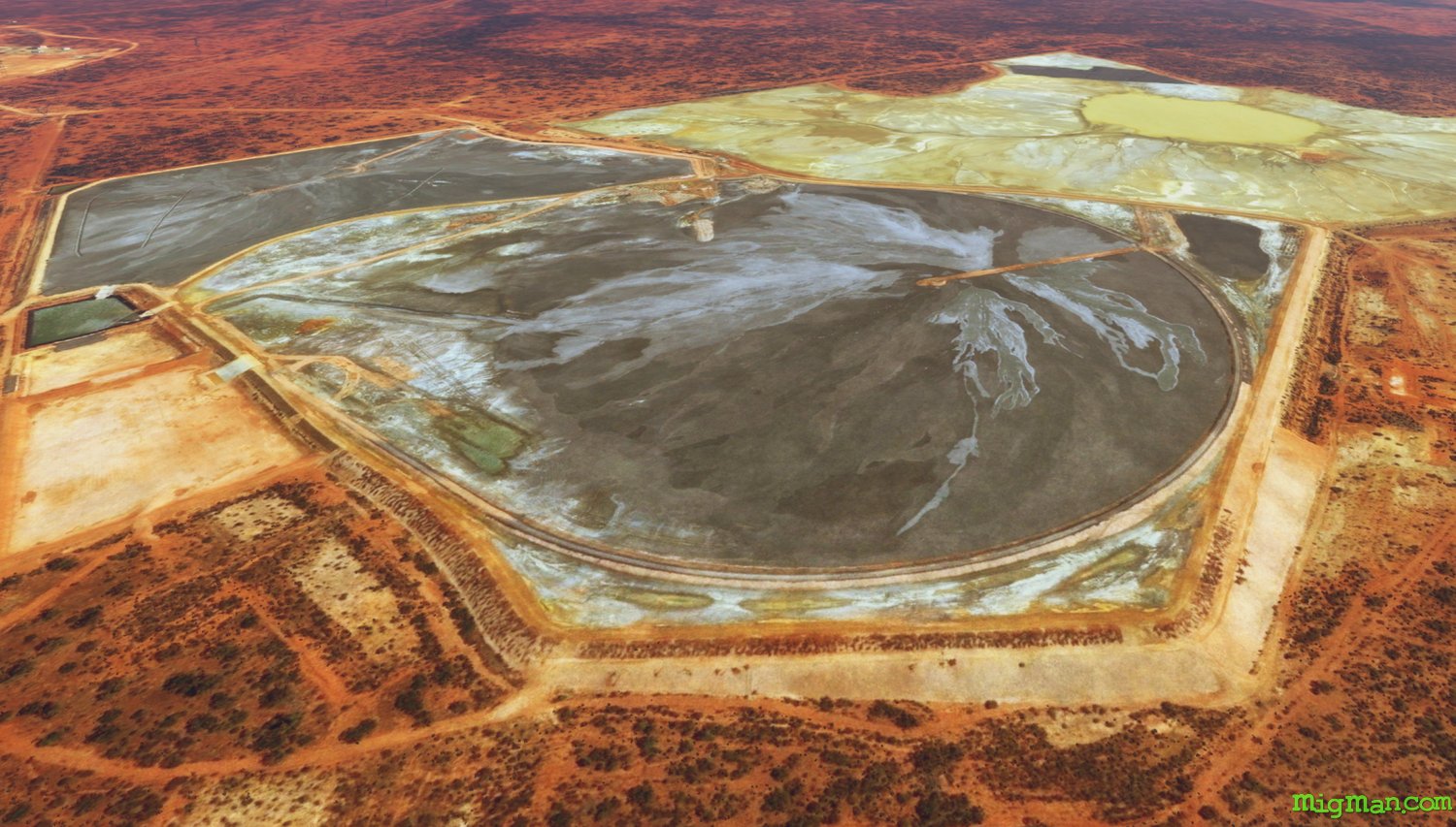 WP 3 - N for 7 nm to CSA Mine
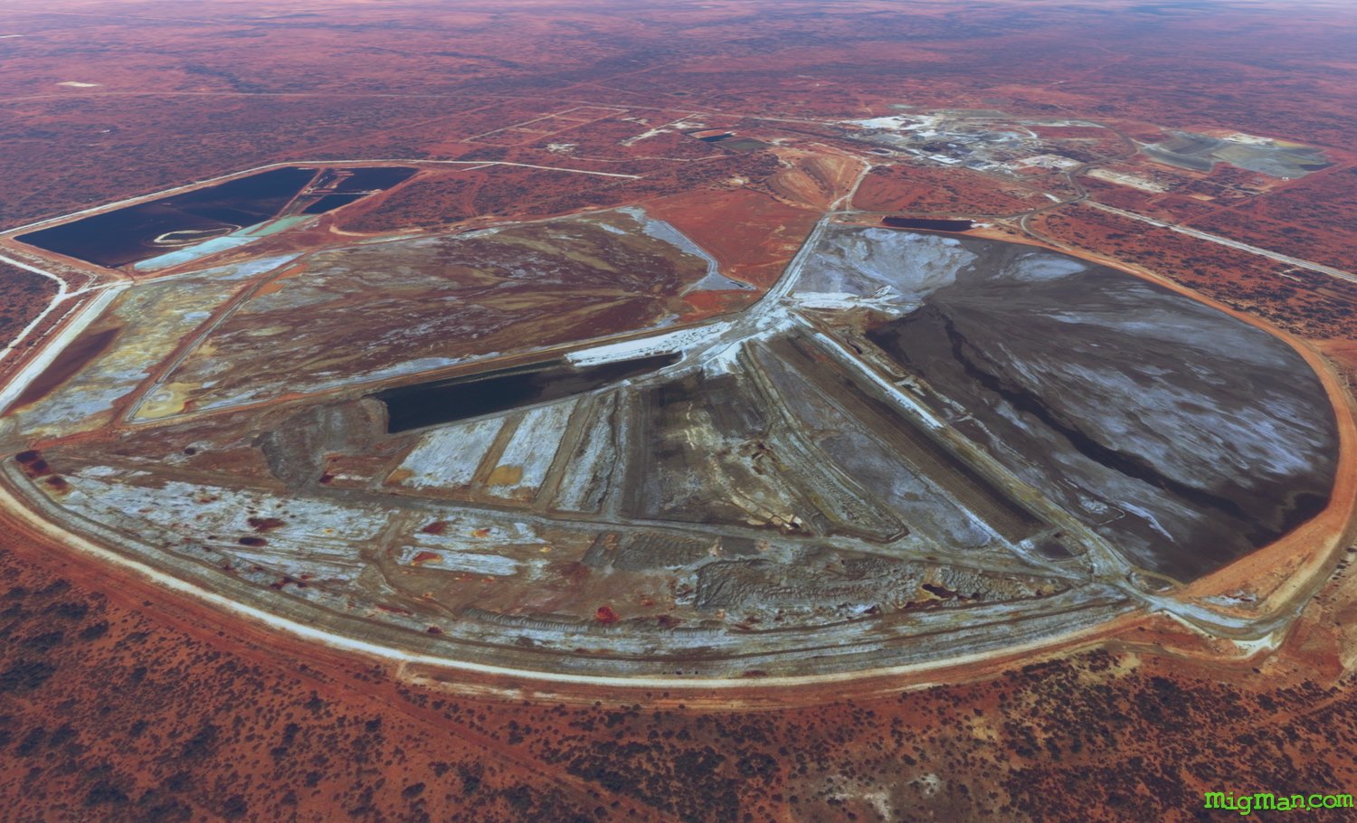 WP 4 - NW for 16 nm along the railway to Endeavour Mine
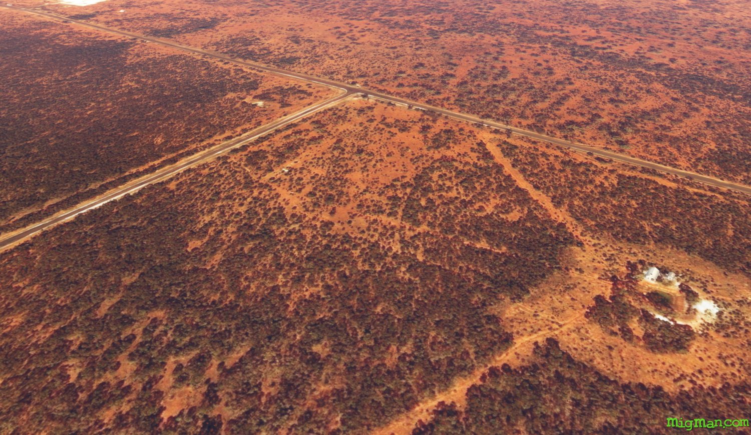 WP 5 - SW for 7 nm along Endeavour Mine Road to the intersection with Mulya Road
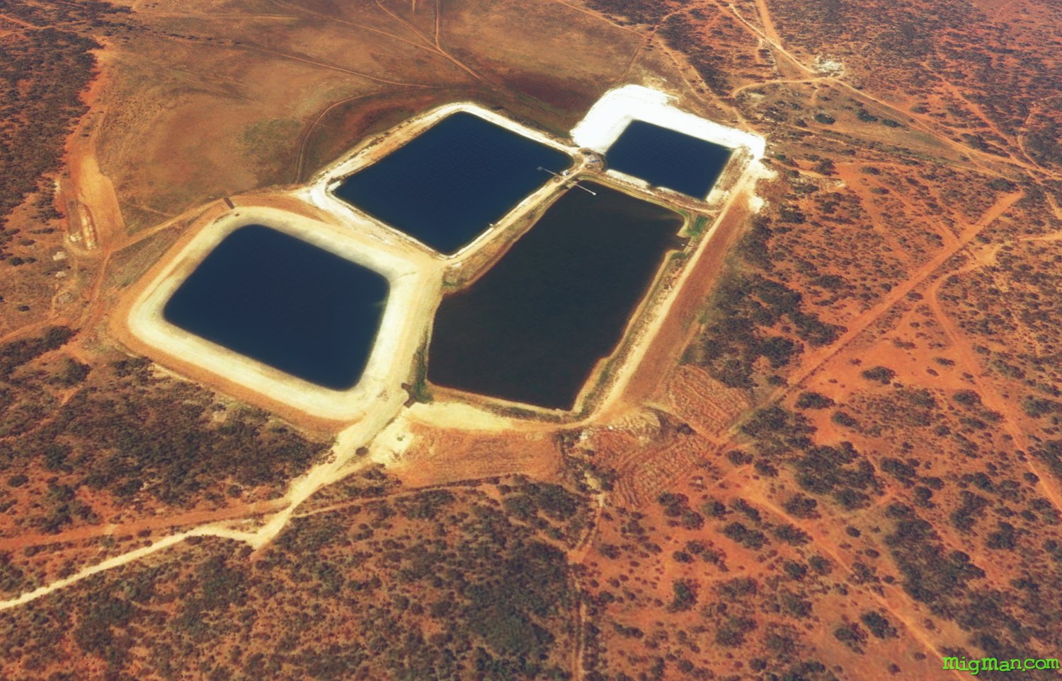 WP 6 - SE for 15 nm along Mulya Road to Cobar Water Storages
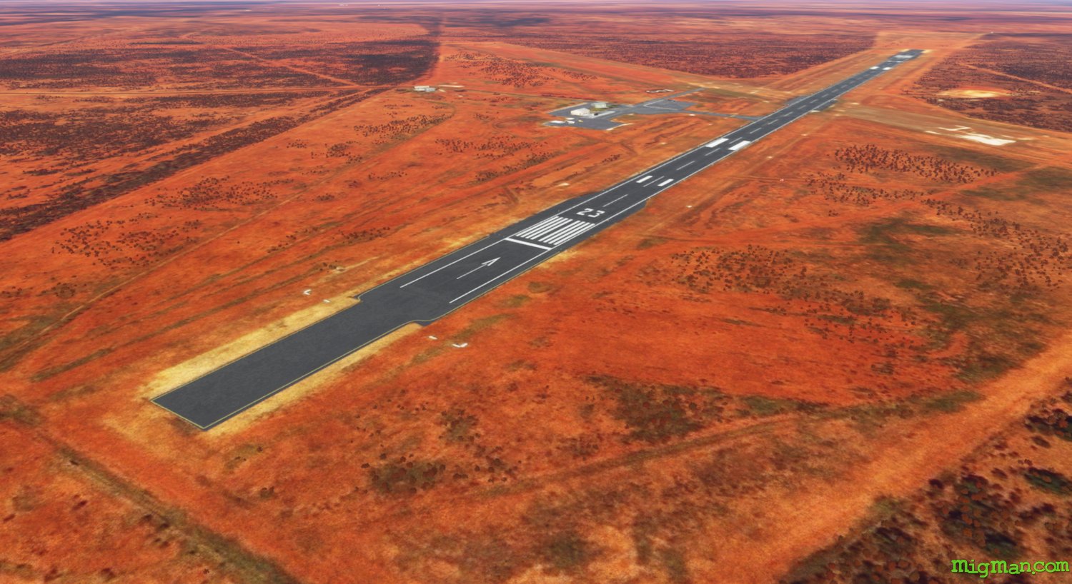 WP 7 - S for 5 nm to land at Cobar YCBA
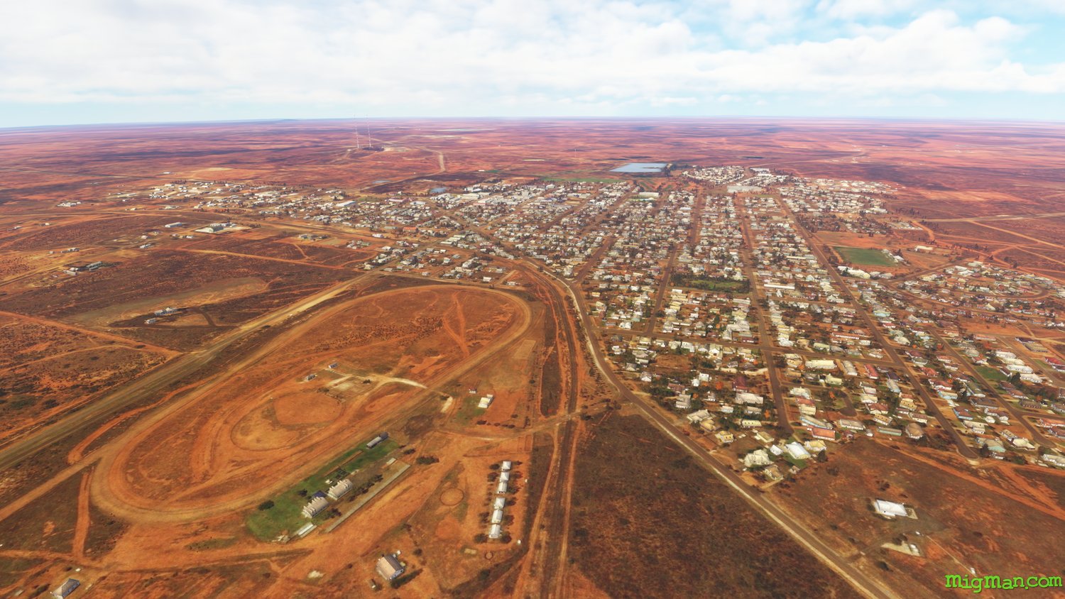 Cobar
Cobar