
Australia
Coffs Harbour, Big Banana and Dorrigo
Description
Fly out of Coffs Harbour, south along the coast and then inland to Dorrigo Plateau. Contrast the rugged bushland in the valleys on your right with the lush rolling famlands of the plateau on your left.
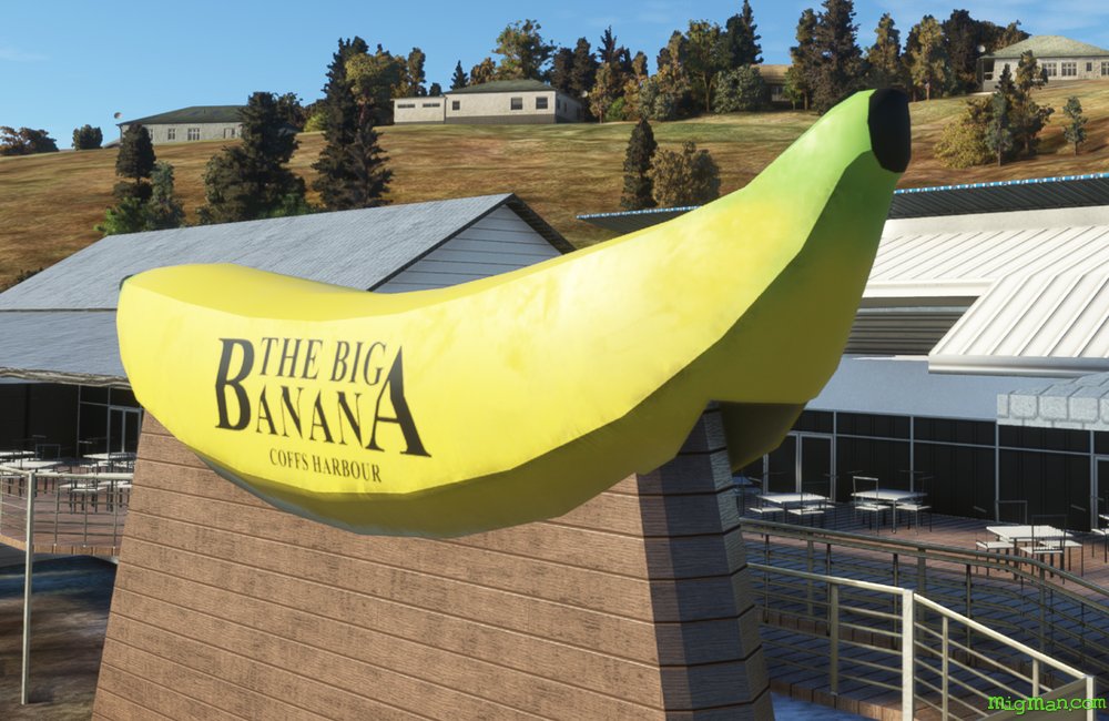
The Big Banana was built in 1964 to promote a roadside fruit stall and now hosts the largest water theme park between Sydney (NSW) and the Gold Coast in Queensland.
Nav data
- Country: Australia
- Locale: N.S.W. | North Coast
- Route: YCFS Coffs Harbour to YCFS Coffs Harbour
- Distance: 88 nm
- File name: australia-YCFS-to-YCFS-VFR-coffs-harbour-sw-220216
Waypoints
- WP 1 - S for 16 nm along the coast, passing Urunga to Sacred Mountain
- WP 2 - SW for 7 nm to Bowraville Dam
- WP 3 - WNW for 26 nm to Point Lookout (5,124 ft)
- WP 4 - Follow the edge of the plateau NE for 18 nm to Dorrigo
- WP 5 - ESE for 5 nm to the ridge of the plateau
- WP 6 - Follow the edge of the plateau ENE for 16 nm to land at Coffs Harbour YCFS
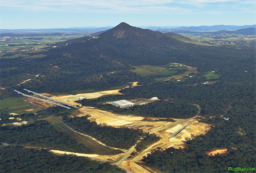 WP 1 - S for 16 nm along the coast, passing Urunga to Sacred Mountain
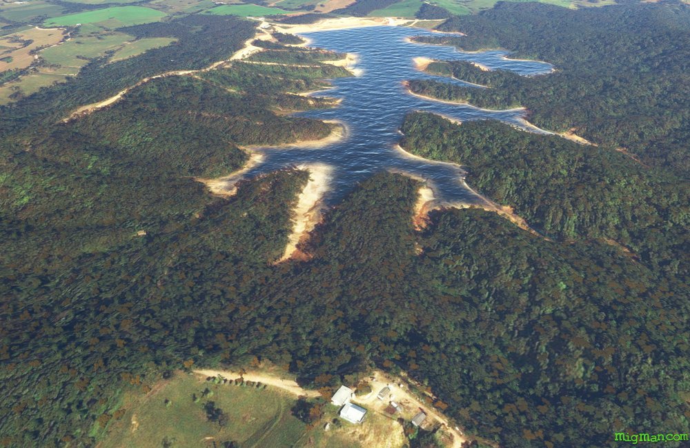 WP 2 - SW for 7 nm to Bowraville Dam
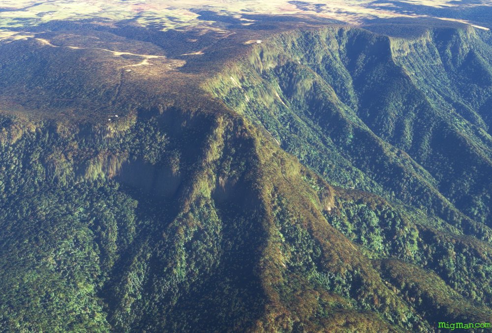 WP 3 - WNW for 26 nm to Point Lookout (5,124 ft)
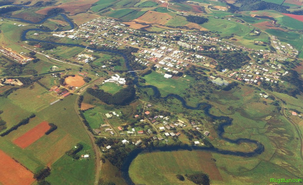 WP 4 - Follow the edge of the plateau NE for 18 nm to Dorrigo
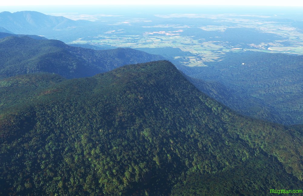 WP 5 - ESE for 5 nm to the ridge of the plateau
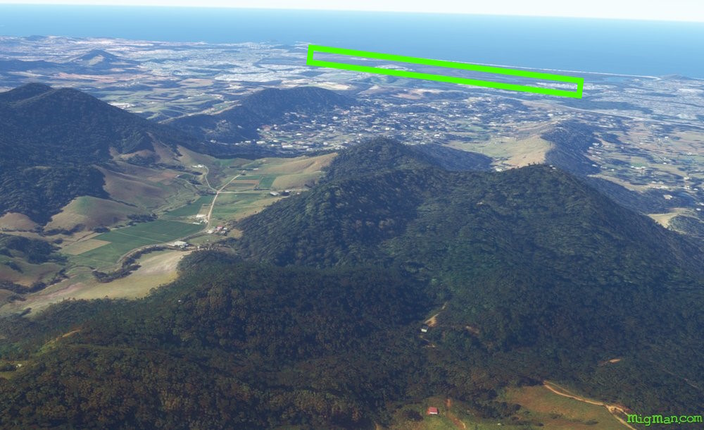 WP 6 - Follow the edge of the plateau ENE for 16 nm to land at Coffs Harbour YCFS
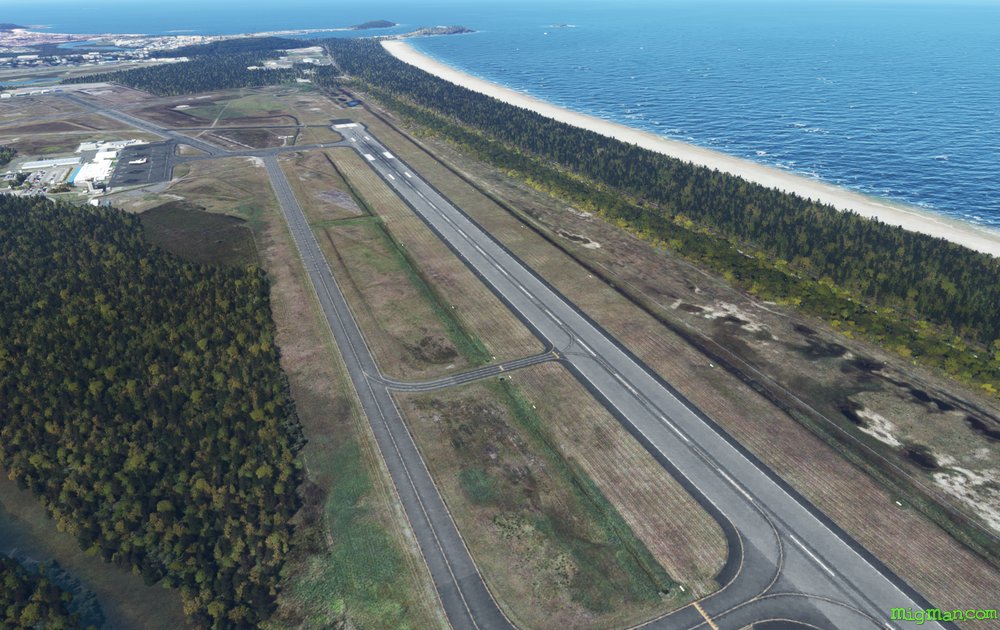 YCFS Coffs HarbourThe Big Banana