
Australia
Gilgandra, the Long Water Hole
Description
Towards the western edge of New England region we get a taste of the vast plains which form much of Australia's interior.
Gilgandra means 'long water hole' in Aboriginal, as it sits on the meandering banks of the Castlereagh River.
Nav data
- Country: Australia
- Locale: N.S.W. | Central West & Orana
- Route: YGIL Gilgandra to YGIL Gilgandra
- Distance: nm
- File name: australia-YGIL-to-YGIL--gilgandra-230305
Waypoints
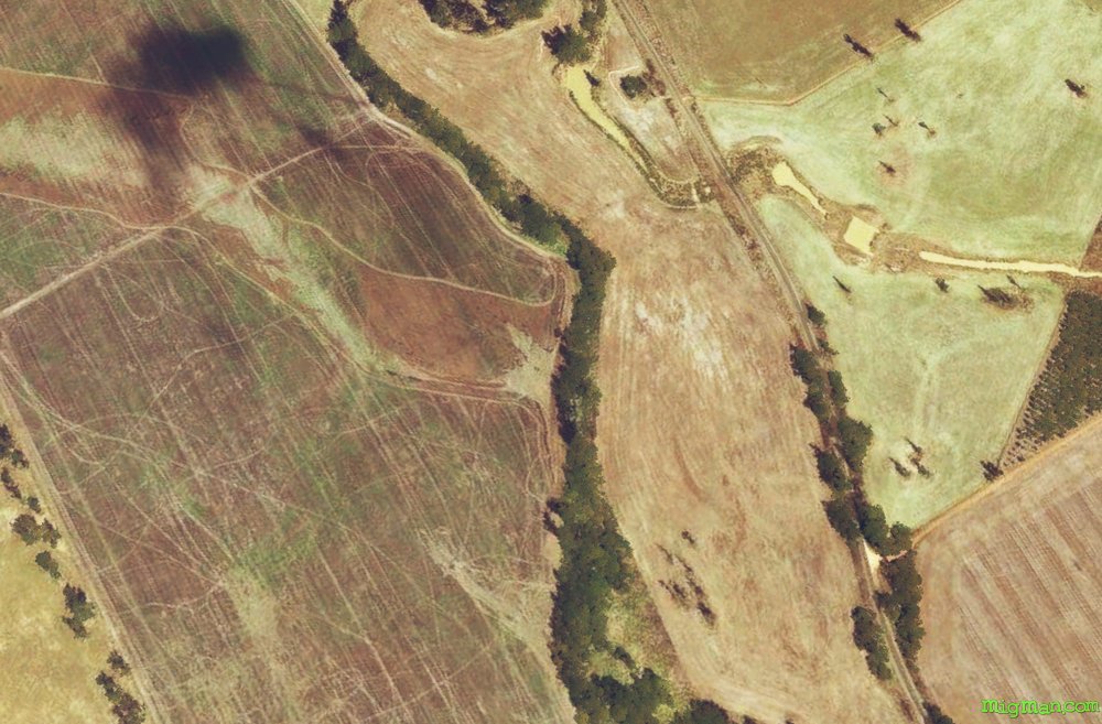
- WP 1 - NE for 6 nm to the Newell Highway bridge over Dusty's Creek. This is the SW corner of Yalcogin State Forest.
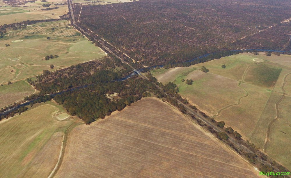
- WP 2 - Follow the southern edge of Yalcogin State Forest E for 7 nm to the interesection of Biralbung Road and Bearbung Road
- WP 3 - S along the western edge of Brayben State Forest to the Castlereagh Highway at the SW corner of Brayben State Forest
- WP 4 - Continue S for 5 nm to a large clearing in the Goonoo State Forest
- WP 5 - W for 10 nm to Eumungerie on the Newell Highway
- WP 6 - N for 15 nm along the Newell Highway to Gilgandra Airport YGIL
 WP 1 - NE for 6 nm to the Newell Highway bridge over Dusty's Creek. This is the SW corner of Yalcogin State Forest.
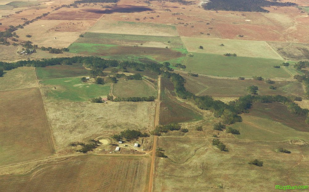 WP 2 - Follow the southern edge of Yalcogin State Forest E for 7 nm to the interesection of Biralbung Road and Bearbung Road
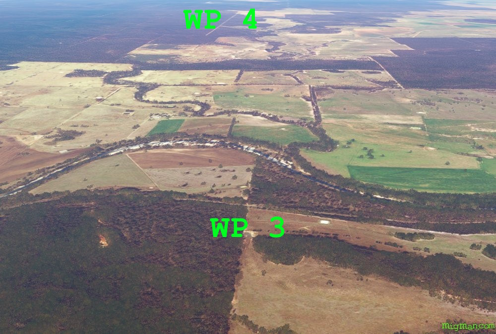 WP 3 - S along the western edge of Brayben State Forest to the Castlereagh Highway at the SW corner of Brayben State Forest
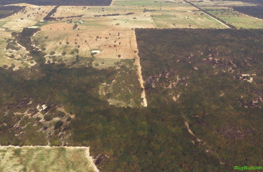 WP 4 - Continue S for 5 nm to a large clearing in the Goonoo State Forest
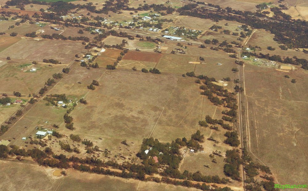 WP 5 - W for 10 nm to Eumungerie on the Newell Highway
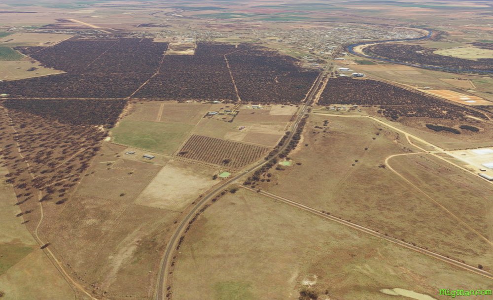 WP 6 - N for 15 nm along the Newell Highway to Gilgandra Airport YGIL
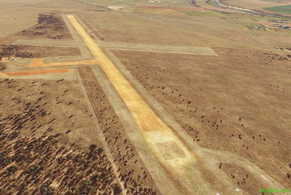 YGIL Gilgandra
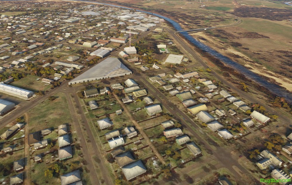 Gilgandra
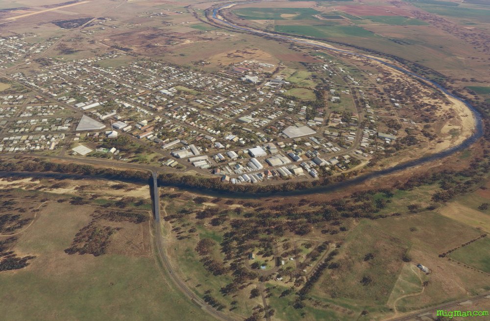 Gilgandra