
Australia
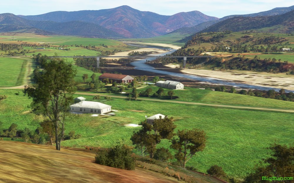
Grafton's Gorgeous Rivers
Description
Grafton sits on a large plain and your first waypoint, Shannon Creek Dam, is just inside the mountains at the western edge of that plain. Explore the Mann and Clarence Rivers to the north-west of Grafton.
Copmanhurst, population 300, is a popular camping and kayaking spot on the Clarence River.
Nav data
- Country: Australia
- Locale: N.S.W. | North Coast
- Route: YGFN Grafton to YGFN Grafton
- Distance: 92, 26, 34 nm
- File name: australia-YGFN-to-YGFN-VFR-grafton-nw-230219
Waypoints
- WP 1 - WSW for 13 nm to Shannon Creek Dam
- WP 2 - W for 10 nm to the junction of the Boyd and Nymboida Rivers
- WP 3 - NNW for 12 nm to the junction of the Mann and Nymboida Rivers
- WP 4 - NNE for 5 nm to the bridge over the Mann River on the Gwydir Highway
- WP 5 - NE for 5 nm to the junction of the Mann River and Dandahra Creek
- WP 6 - NNE for 8 nm to the junction of the Mann and Clarence Rivers
- WP 7 - SW for 19 nm to the town of Copmanhurst on the Clarence River
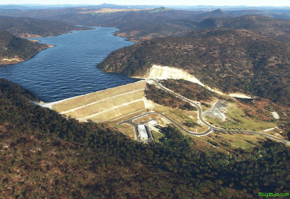 WP 1 - WSW for 13 nm to Shannon Creek Dam
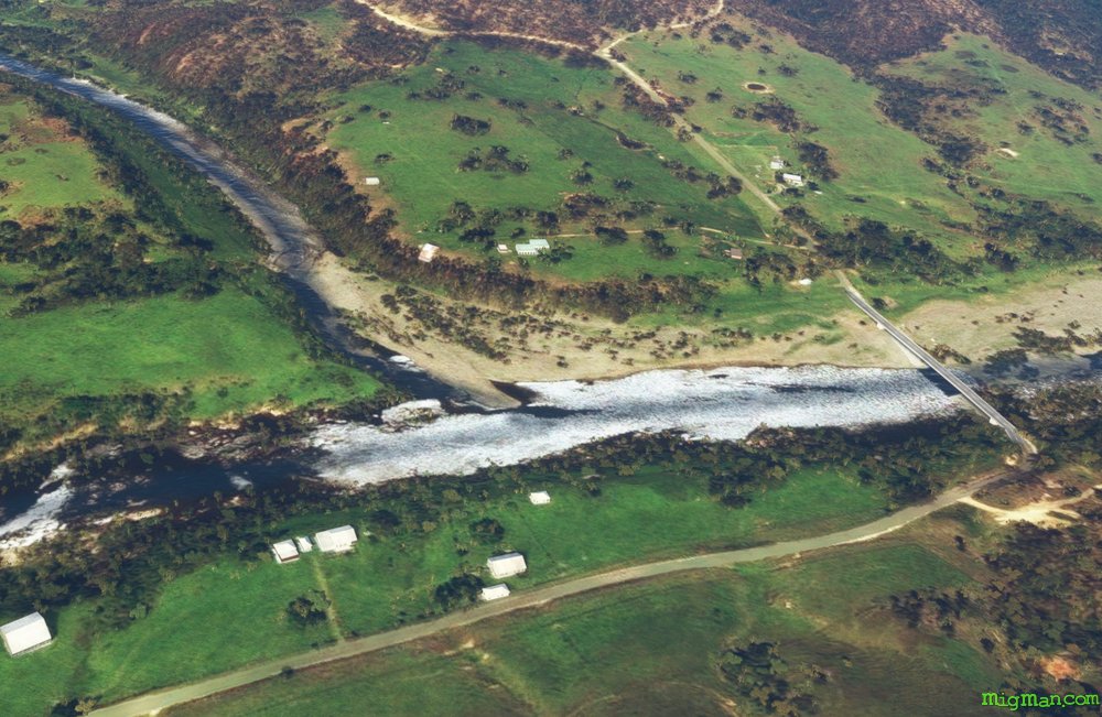 WP 2 - W for 10 nm to the junction of the Boyd and Nymboida Rivers
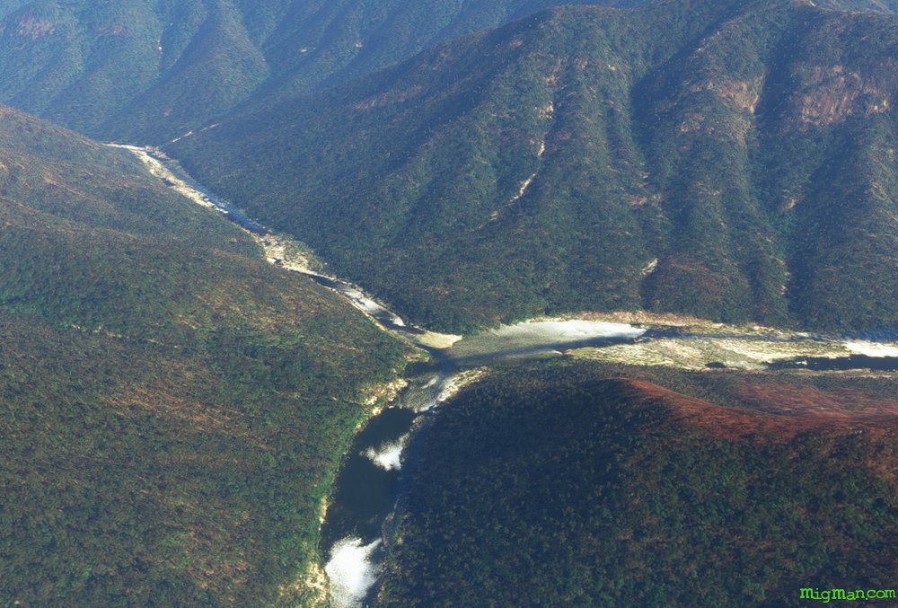 WP 3 - NNW for 12 nm to the junction of the Mann and Nymboida Rivers
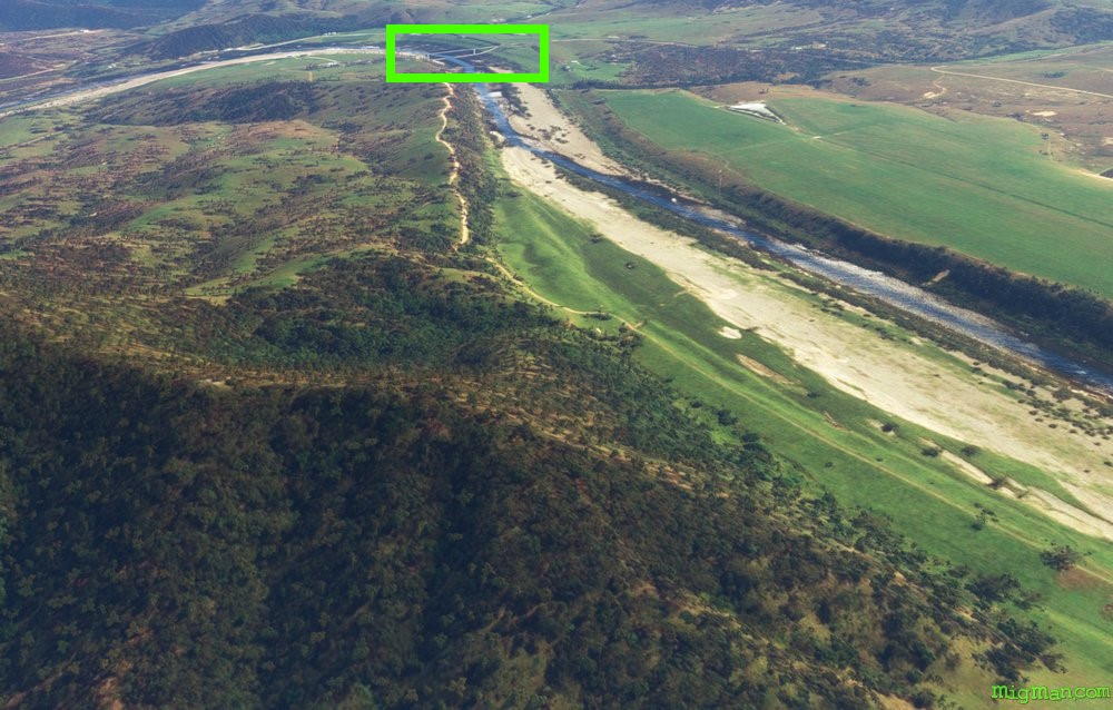 WP 4 - NNE for 5 nm to the bridge over the Mann River on the Gwydir Highway
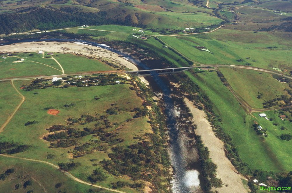 WP 4 - Bridge over the Mann River on the Gwydir Highway
 WP 4 - Bridge over the Mann River on the Gwydir Highway
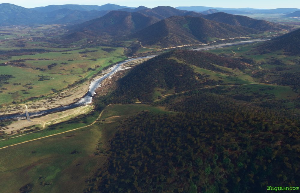 WP 5 - NE for 5 nm to the junction of the Mann River and Dandahra Creek
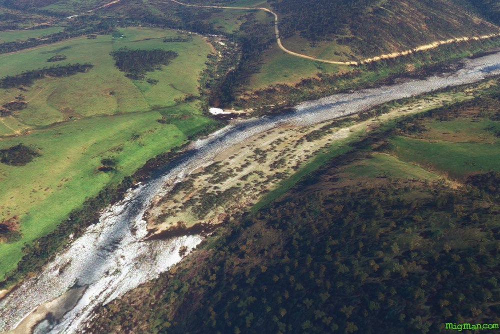 WP 5 - Junction of the Mann River and Dandahra Creek
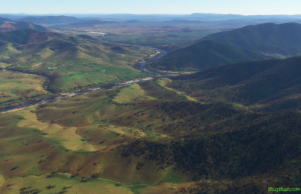 WP 6 - NNE for 8 nm to the junction of the Mann and Clarence Rivers
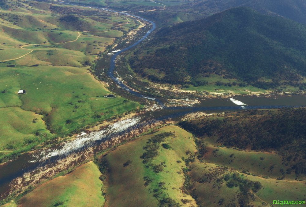 WP 6 - Junction of the Mann and Clarence Rivers
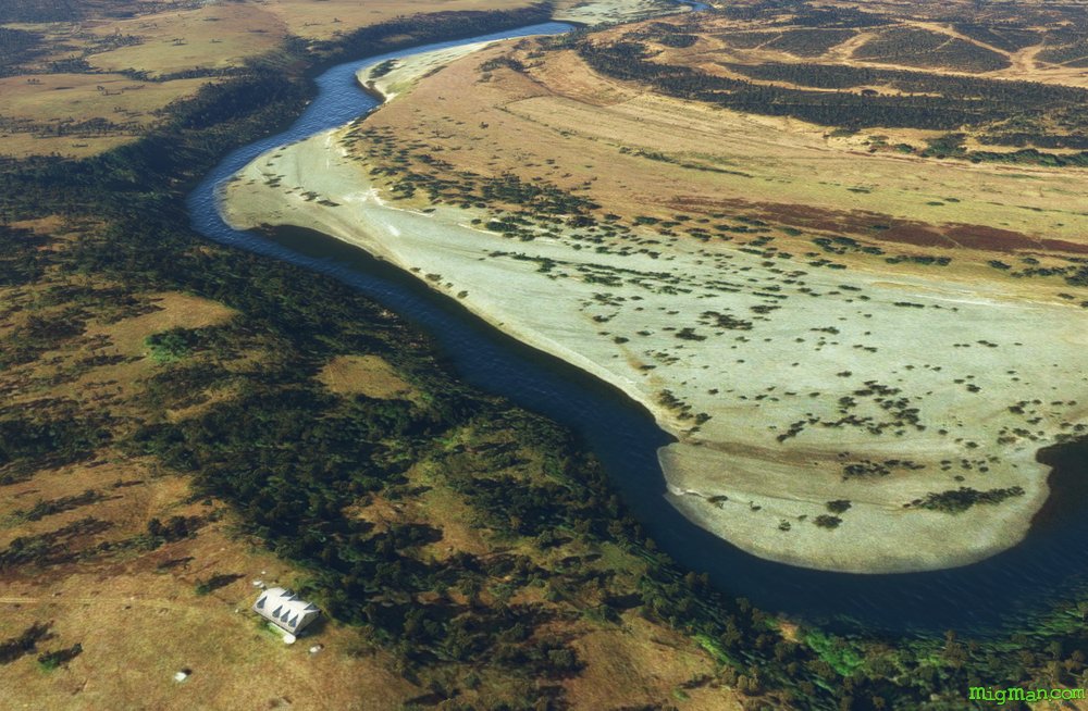 One of the many picturesque scenes on the Clarence River
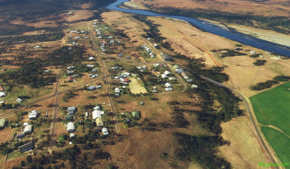 WP 7 - SW for 19 nm to the town of Copmanhurst on the Clarence River
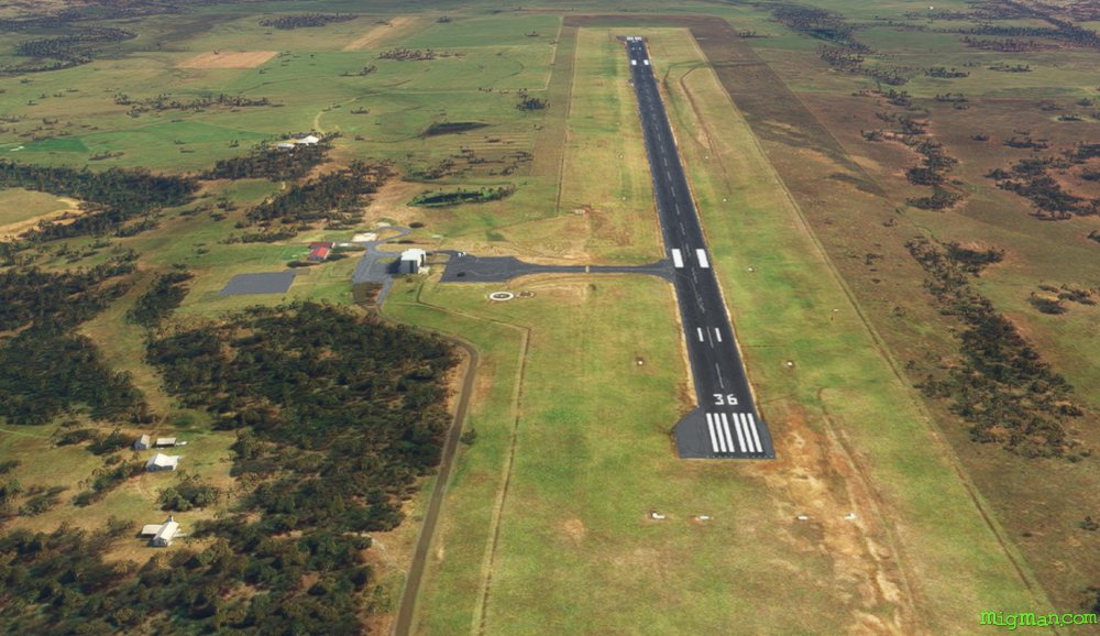 YGFN Grafton