
Australia
Cryptic Crop Circles
Description
In Australia the farmers regard crop circles as passe. Rather, they carve aides-a-la-navigation such as arrows pointing towards the nearest airport. Just another example of Aussie creativity and community spirit, making hay while the sun shines.
Nav data
- Country: Australia
- Locale: N.S.W. | Riverina Murray
- Route: YHAY Hay to YHAY Hay
- Distance: 63 nm
- File name: australia-YHAY-to-YHAY-VFR-hay-230811
Waypoints
- WP 1 - Bridge on the Murrumbidgee River at Maude
- WP 2 - Ravensworth Feedlot, at the intersection of Maude Road (N-S) and the Sturt Highway (SW-NE)
- WP 3 - Dales Block, Brewarrina Station
- WP 4 - Crop "Arrow" pointing towards Hay
- WP 5 - Land at Hay YHAT
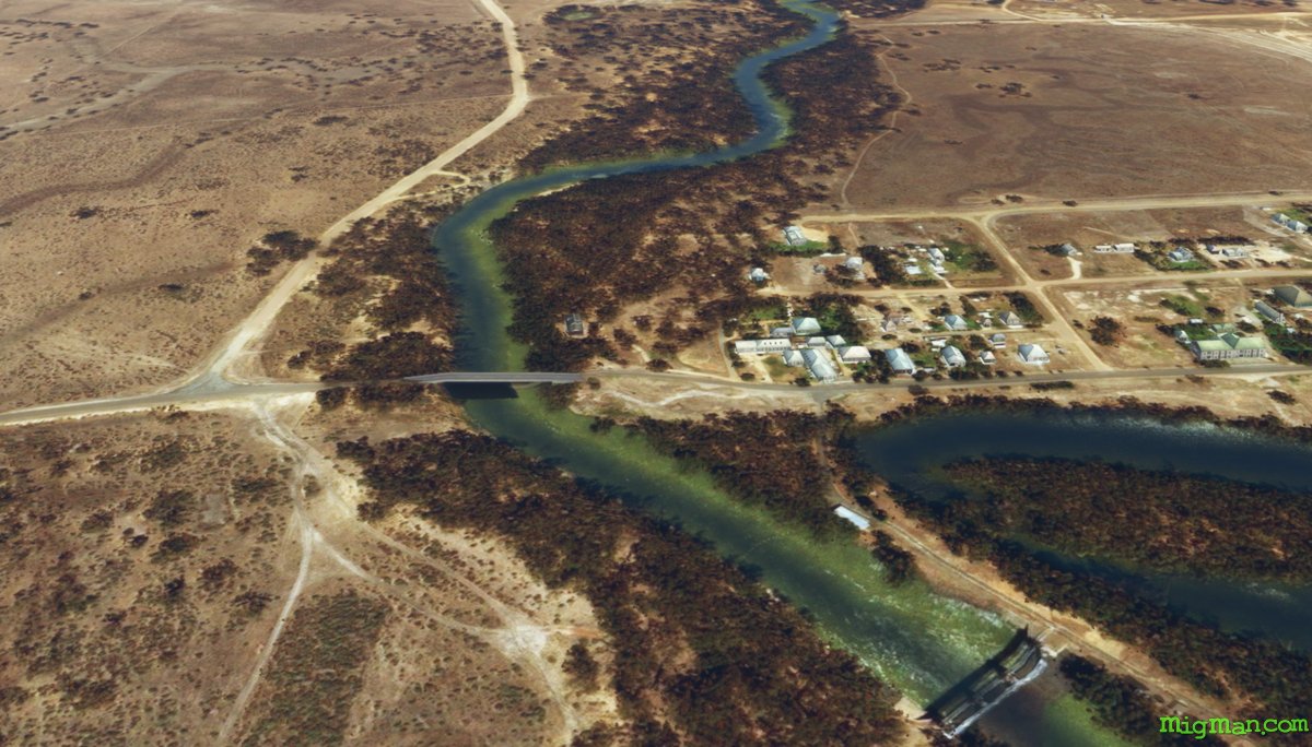 WP 1 - Bridge on the Murrumbidgee River at Maude
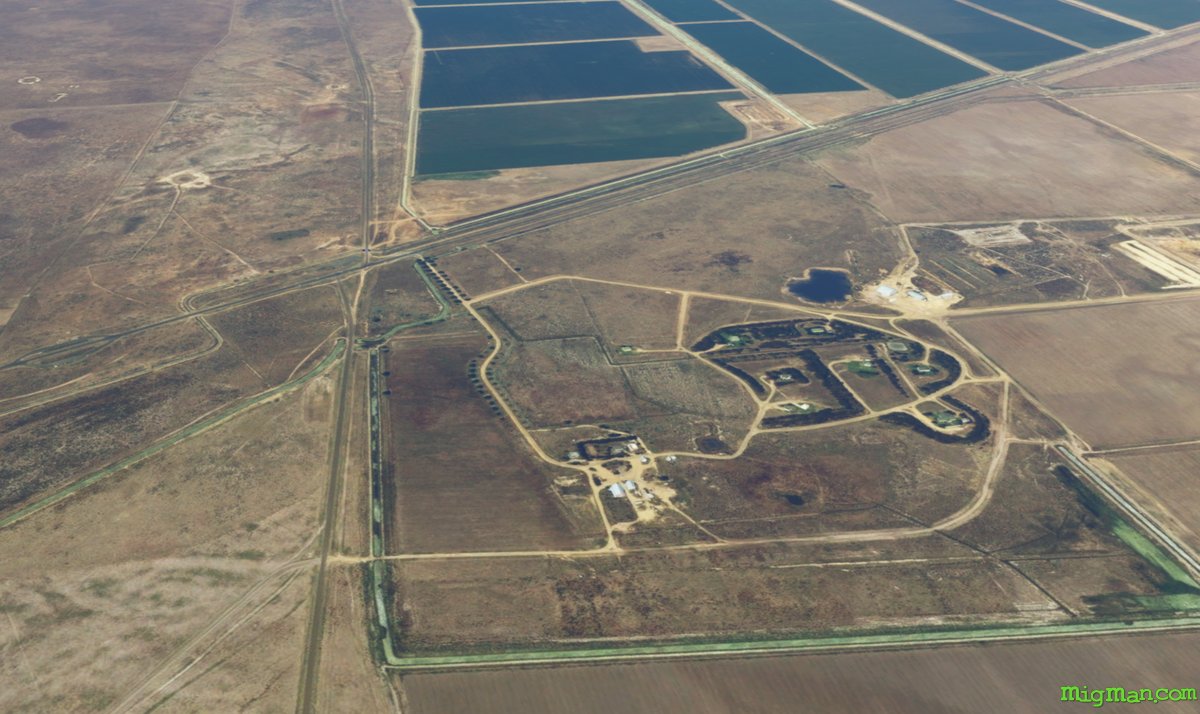 WP 2 - Ravensworth Feedlot, at the intersection of Maude Road (N-S) and the Sturt Highway (SW-NE)
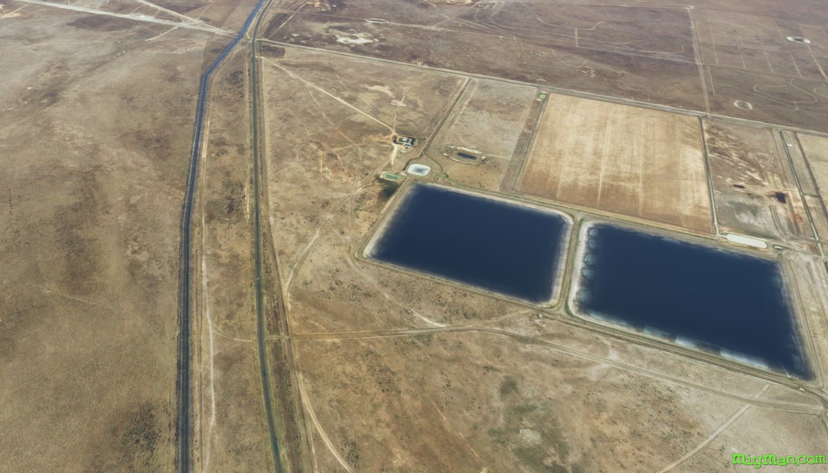 WP 3 - Dales Block, Brewarrina StationWP 4 - Crop "Arrow" pointing towards Hay
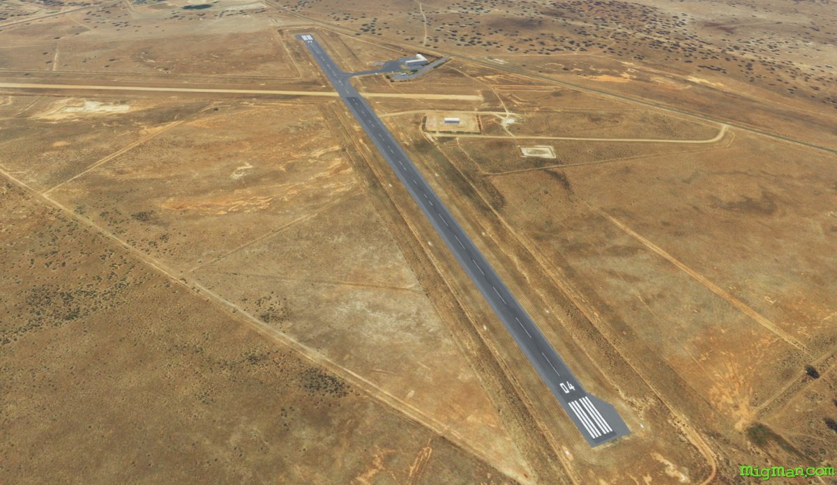 WP 5 - Land at Hay YHAT
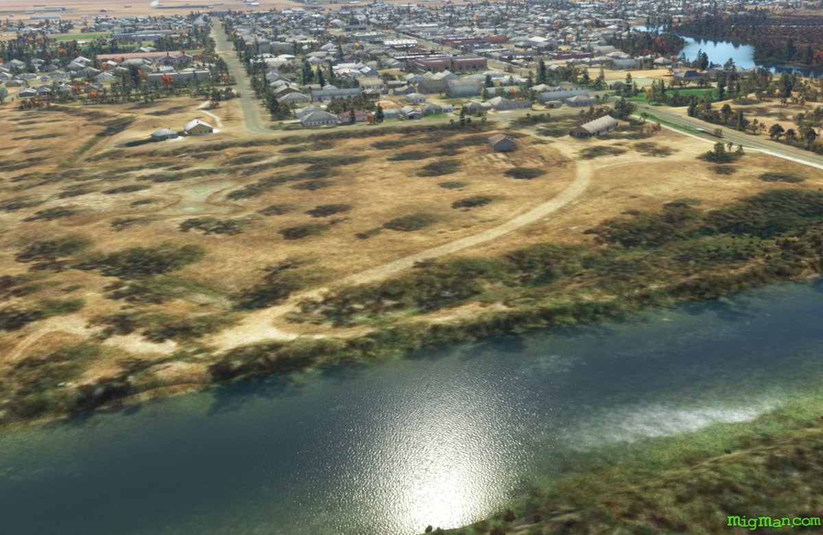 Hay, on the Murrumbidgee River
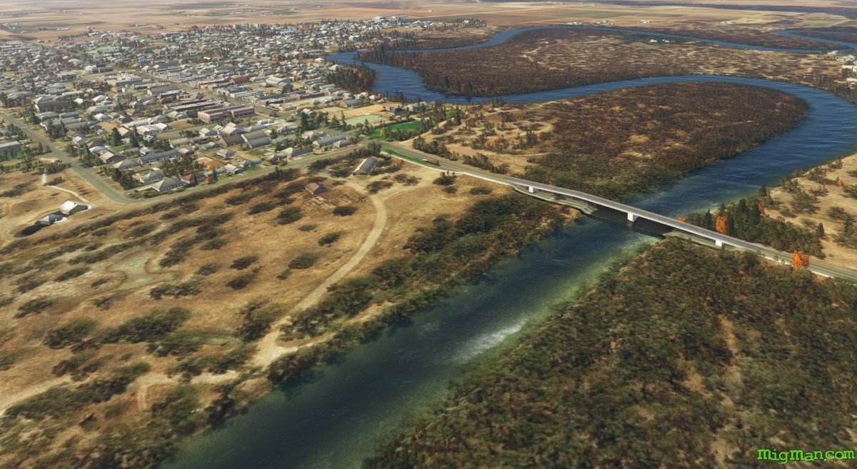 Hay, on the Murrumbidgee River
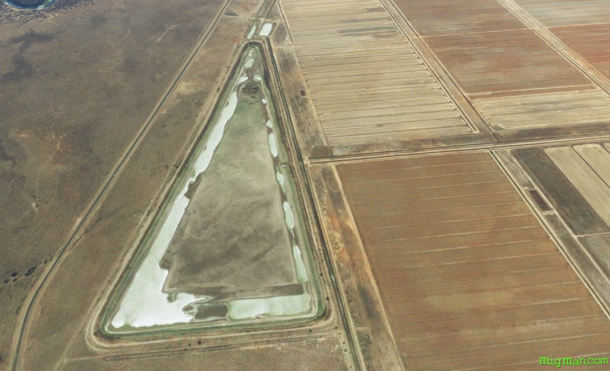
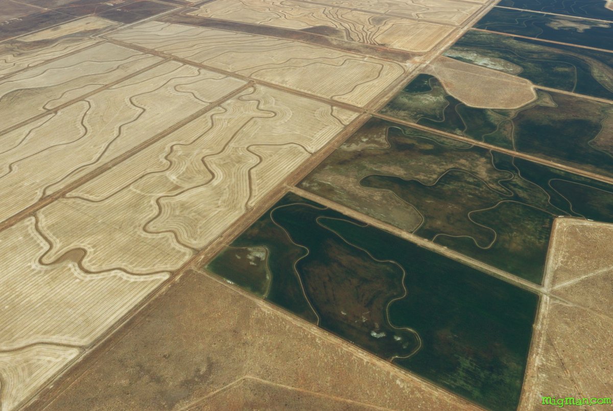 Other, more cryptic crop signals around Hay.
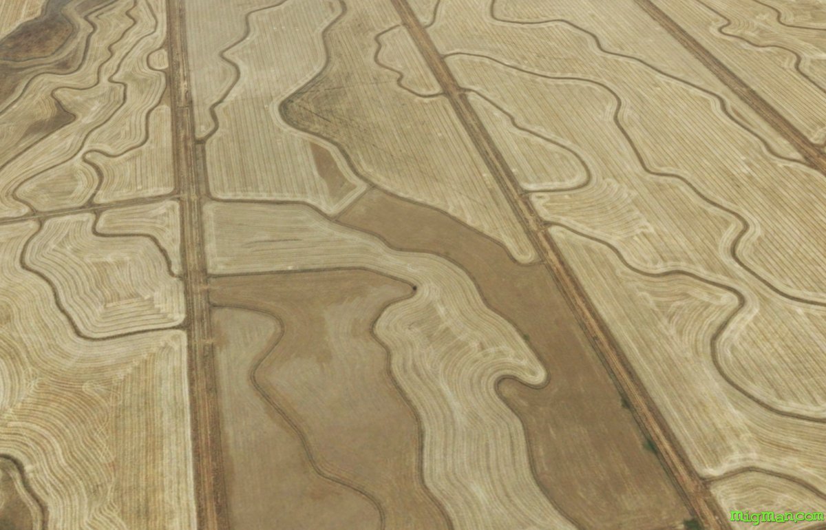 Other, more cryptic crop signals around Hay.