
Australia
The Songs of Lake Cargelligo
Description
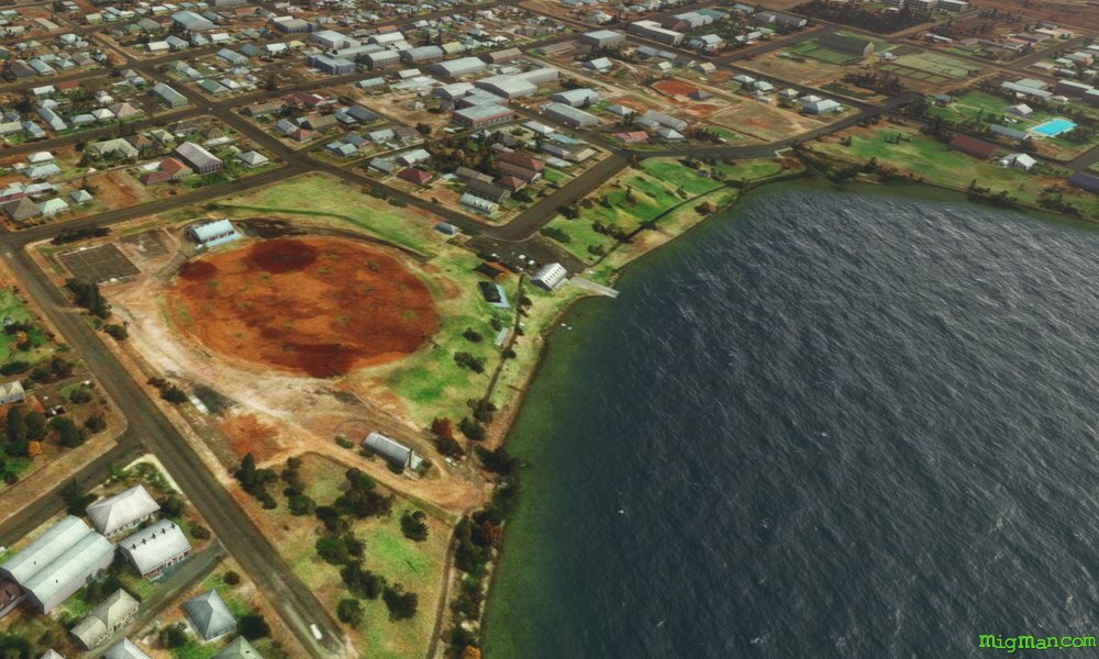
The combination of wheat and fruit growing in the aread attracts a variety of birds which congregate around the lake. If you sit quietly by the lake you can hear them sing! Lake Cargelligo was first surveyed in 1817 by John Oxley, but didn't attract an appreciable population until gold was discovered by a cook in 1873.
Nav data
- Country: Australia
- Locale: N.S.W. | Central West & Orana
- Route: YLCG Lake Cargelligo to YLCG Lake Cargelligo
- Distance: 79 nm
- File name: australia-YLCG-to-YLCG-VFR-lake-cargelligo-230429
Waypoints
- WP 1 - S for 4 nm to the western shore of Marias Lake, on Rankins Springs Road
- WP 2 - S for 17 nm on Rankins Springs Road to Naradhan Gap
- WP 3 - SW for 5 miles along the valley until the dirt road turns NW
- WP 4 - NW along the northern ridge (or the valley) for 7 miles to the Wargan Bogan Gap
- WP 5 - NNW along the west side of the ridge
- WP 6 - WSW for 5 nm to the SW corner of Lake Brewster
- WP 7 - NNW for 7 nm to the NW corner of Lake Brewster
- WP 8 - ENE for 16 nm to Mount Bowen
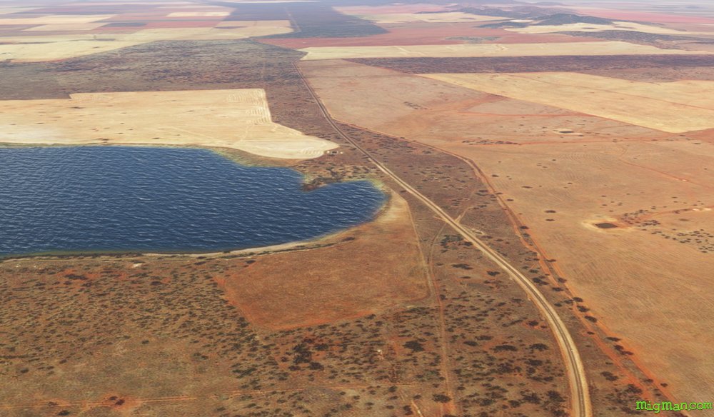 WP 1 - S for 4 nm to the western shore of Marias Lake, on Rankins Springs Road
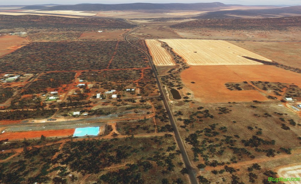 WP 2 - S for 17 nm on Rankins Springs Road to Naradhan Gap
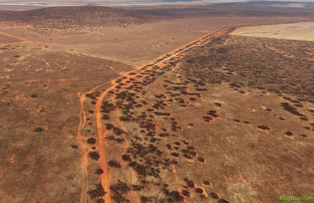 WP 3 - SW for 5 miles along the valley until the dirt road turns NW
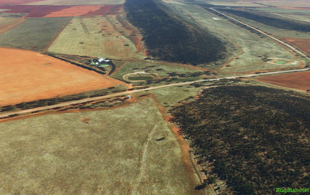 WP 4 - NW along the northern ridge (or the valley) for 7 miles to the Wargan Bogan Gap
 WP 5 - NNW along the west side of the ridge
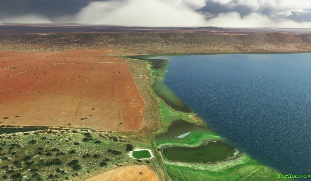 WP 6 - WSW for 5 nm to the SW corner of Lake Brewster
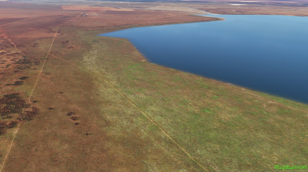 WP 7 - NNW for 7 nm to the NW corner of Lake Brewster
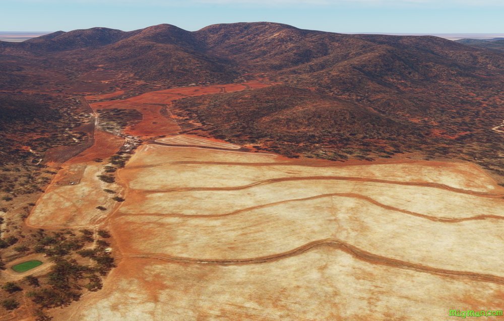 WP 8 - ENE for 16 nm to Mount Bowen
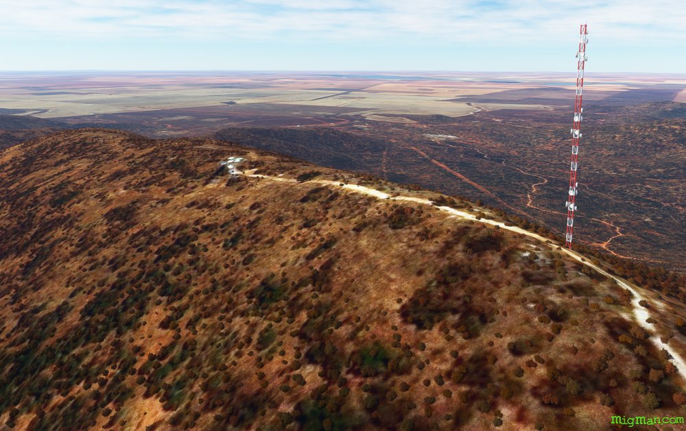 Mount Bowen has a transmission tower, which will only be visible if you have an add-on installed.
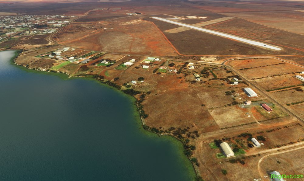 YLCG Lake CargelligoLake Cargelligo
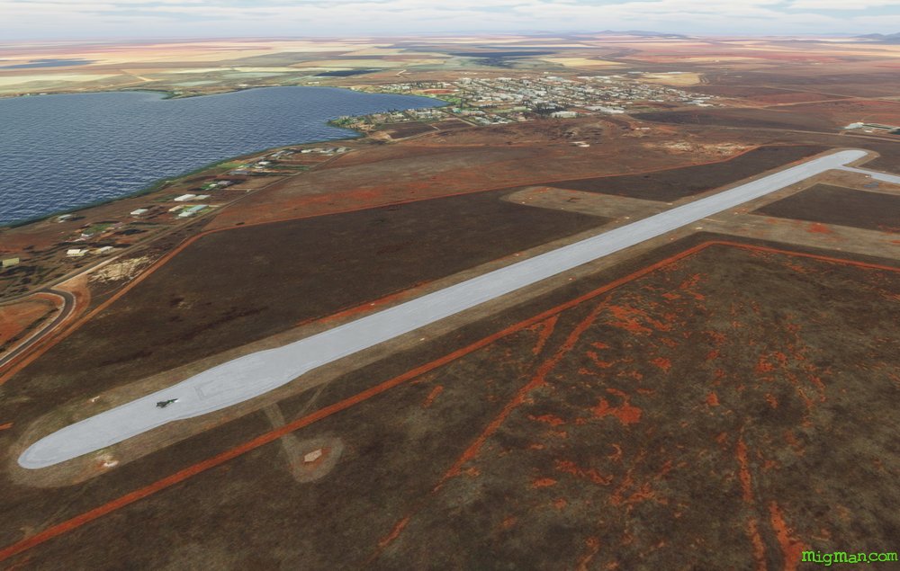 YLCG Lake Cargelligo