
Australia
Pearls in the Desert, Airport on a Lake
Description
The water management scheme at Menindee Lakes was started in 1949 and acts as a storage area for tje outflow of nine major river systems. Lake Tandou, at the south west end, is protected from flooding, used to grow a variety of crops and has it's own airport.
The main lakes, from north east to south west are: Lake Malta, Lake Wetherell, Lake Balaka, Lake Bijijie, Lake Tandure, Lake Pamamaroo, Lake Speculation, Lake Menindee (the largest lake), Emu Lake, Lake Cawndilla, Kangaroo Lake and Lake Pamamaroo.
NOTAM. As of June 2023 MSFS shows Tandou Lake YTAD as being out of service. Menindee YMED is also out of service.
Nav data
- Country: Australia
- Locale: N.S.W. | Far West
- Route: YBHI Broken Hill to YBHI Broken Hill
- Distance: 184 nm
- File name: australia-YBHI-to-YBHI-VFR-menindee-230609
Waypoints
- WP 1 - Little Topar Roadhouse, 40 nm E of Broken Hill on the Barrier Highway
- WP 2 - Malta Lake
- WP 3 - Menindee Airport YMED
- WP 4 - Snake Island on Lake Menindee
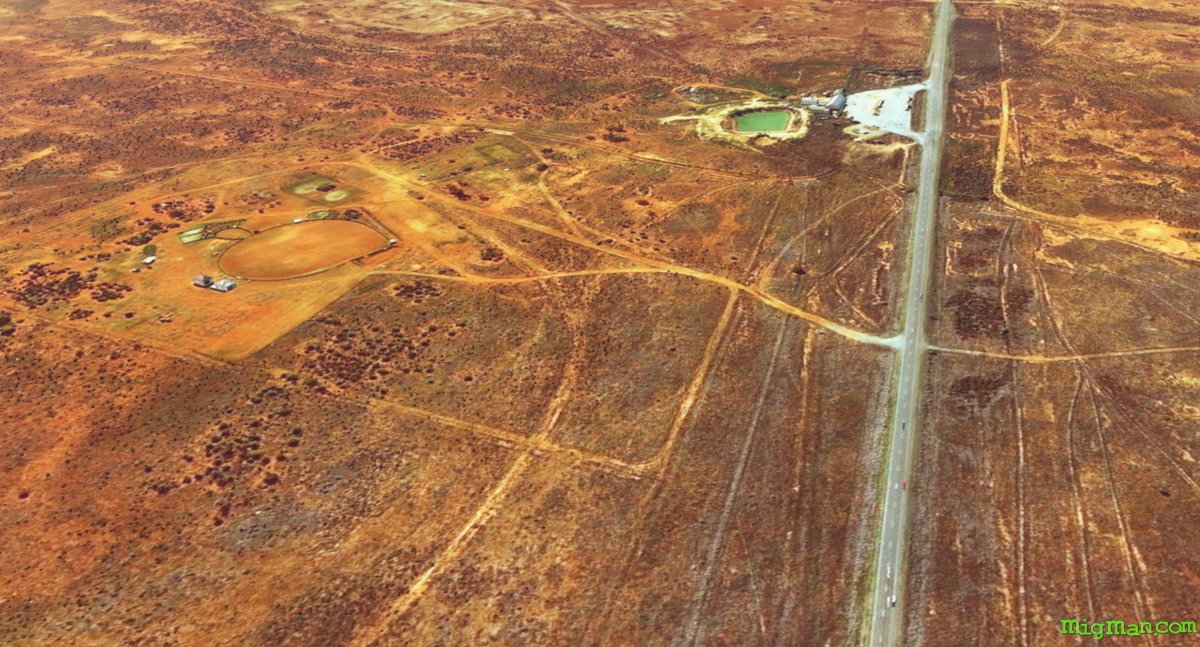
- WP 5 - Tandou Lake Airport YTAD
- WP 6 - Intersection of Tandou Road and Silver City Highway
- Follow Silver City Highway north to land at Broken Hill YBHI
 WP 1 - Little Topar Roadhouse, 40 nm E of Broken Hill on the Barrier Highway
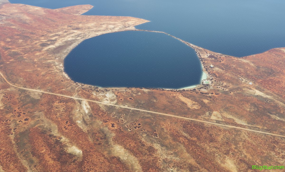 WP 2 - Malta Lake
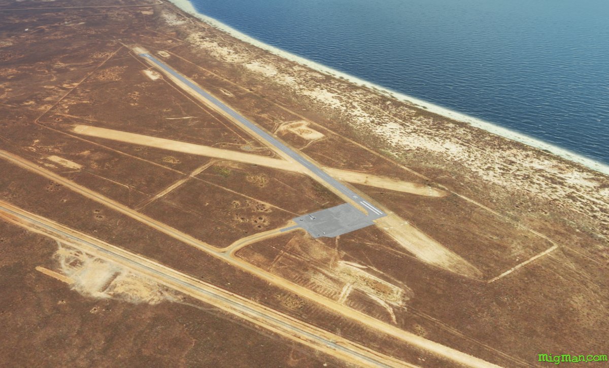 WP 3 - Menindee Airport YMED
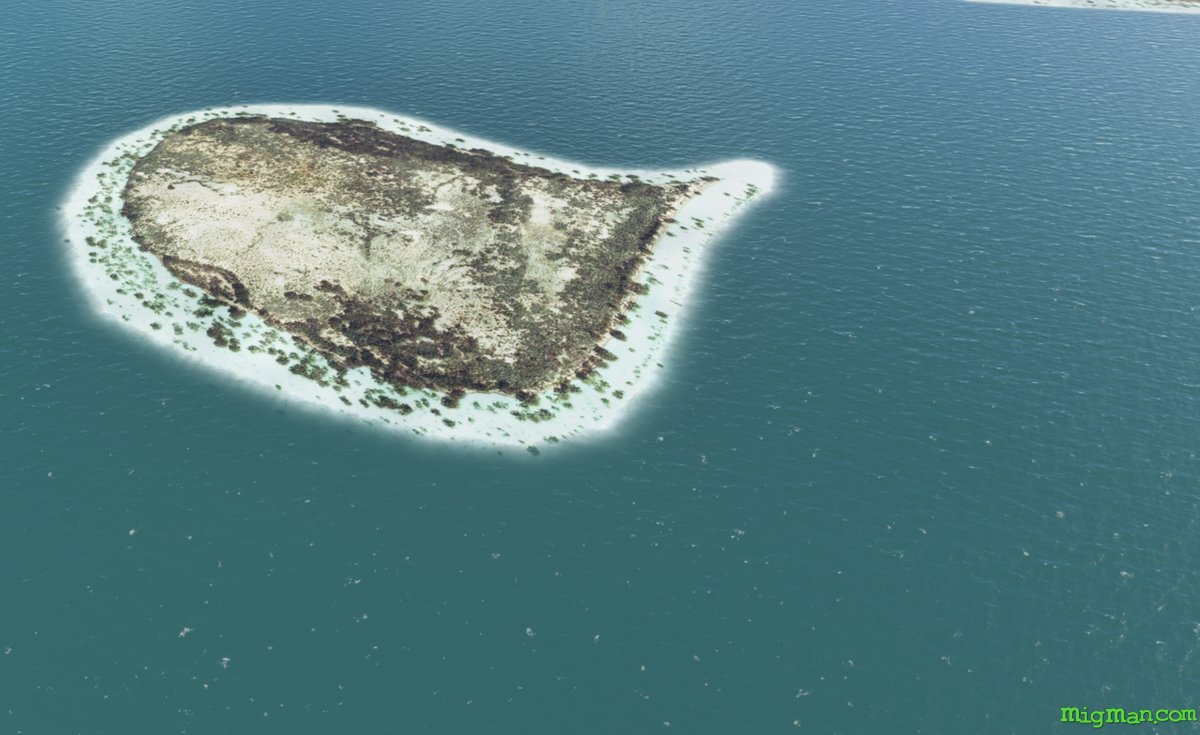 WP 4 - Snake Island on Lake Menindee
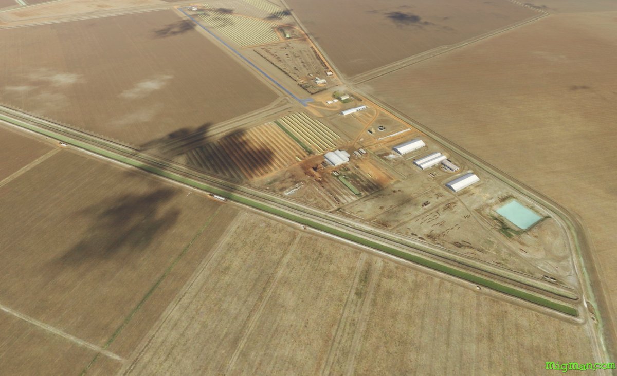 WP 5 - Tandou Lake Airport YTAD
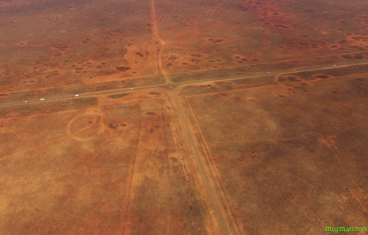 WP 6 - Intersection of Tandou Road and Silver City Highway
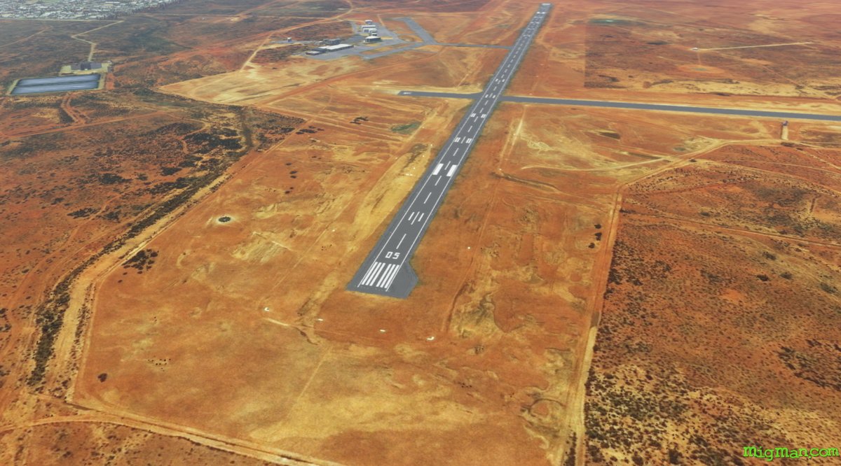 Follow Silver City Highway north to land at Broken Hill YBHI
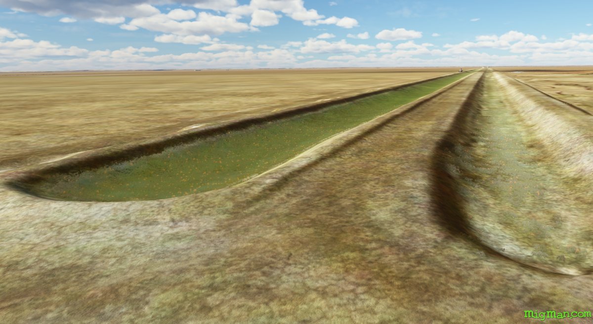
Irrigation ditches on Lake Tandou
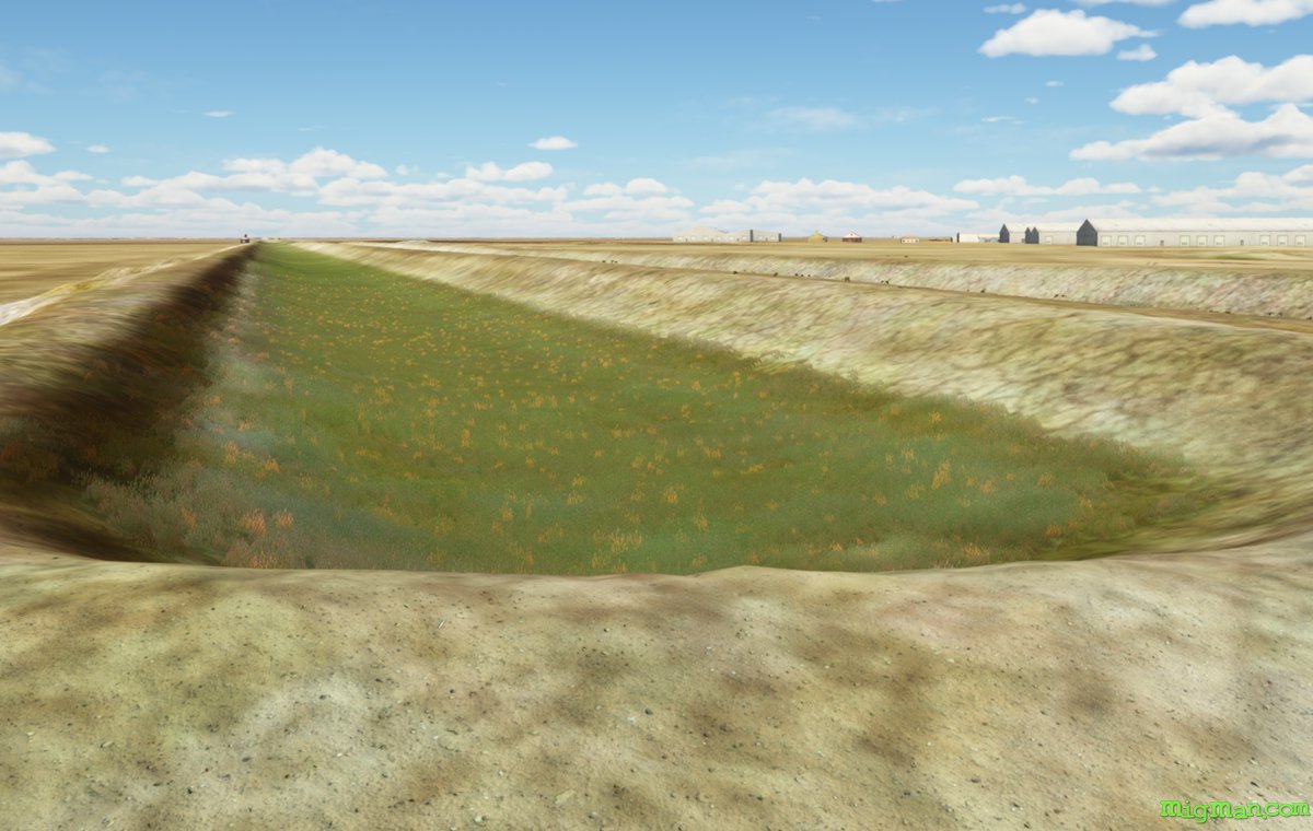 Irrigation ditches on Lake TandouIrrigation ditches on Lake Tandou