

Australia
Return to Eden
Description
Visit the most southern town in NSW and stray a few miles over the Victoran border to Mallacoota. You should have no problems as Victoria is mostly a friendly state.
Nav data
- Country: Australia
- Locale: N.S.W. | South East & Tablelands
- Route: YMER Merimbula to YMER Merimbula
- Distance: 99 nm
- File name: australia-YMER-to-YMER-VFR-merimbula-south-230902
Waypoints
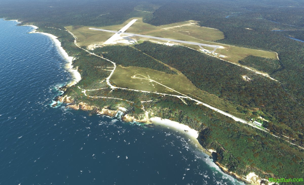
- WP 1 - Allied Natural Wood Exports, Edrom
- WP 2 - Green Cape | Lighthouse may be down for maintenance
- WP 3 - Mouth to the Merrica River
- WP 4 - Cape Howe, the easternmost point of Victoria, is on the border with N.S.W. about 2.5 nm past Nadgee Lake
- WP 5 - Gabo Island Lighthouse and Gabo Island Airport YGBO
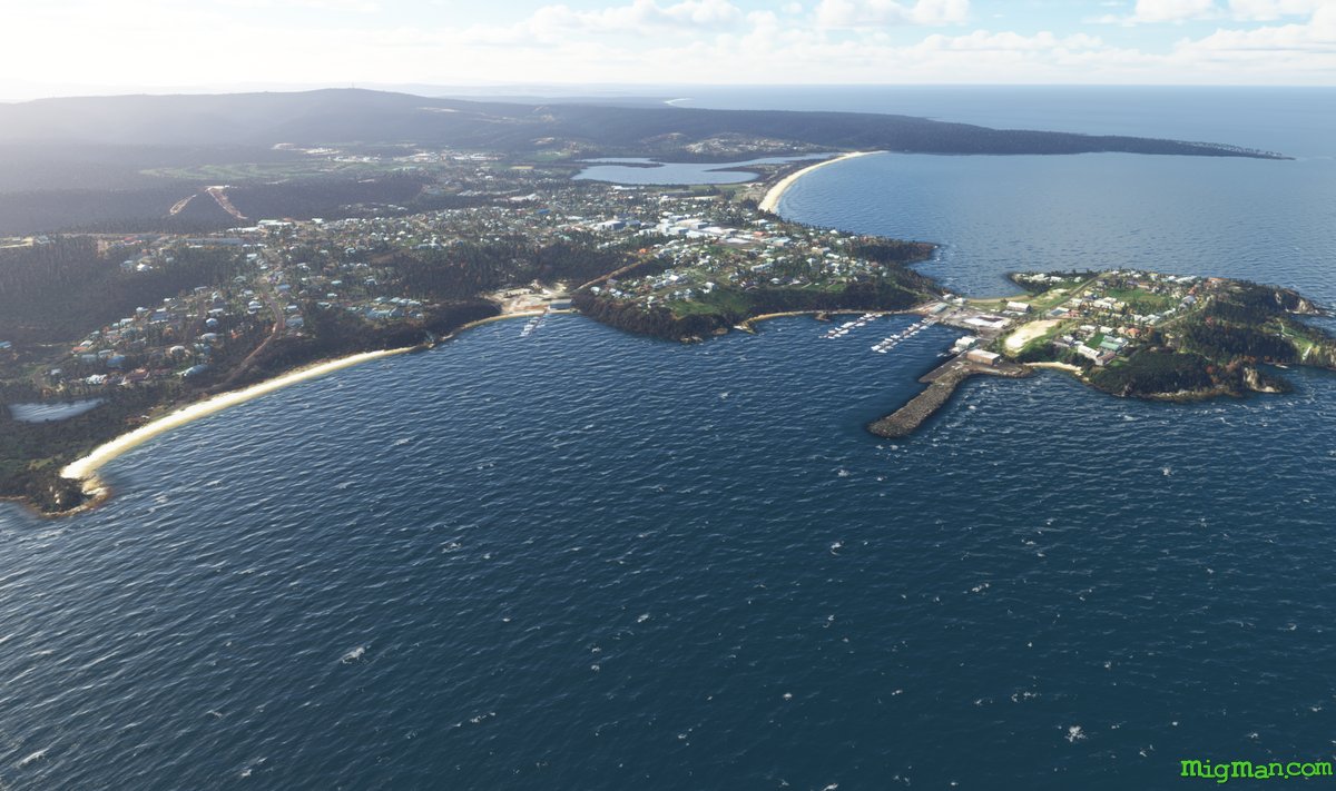
- WP 6 - Mallacoota Airport YMCO (Victoria)
- WP 7 - Bridge on the Princes Highway over the Wallagaraugh River, 2 nm N of the N.S.W. and Victoria border
- WP 8 - Follow the Princes Highway N to Eden
- WP 9 - Land at Merimbula YMER
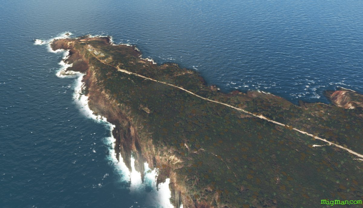
WP 1 - Allied Natural Wood Exports, Edrom
WP 2 - Green Cape | Lighthouse may be down for maintenance
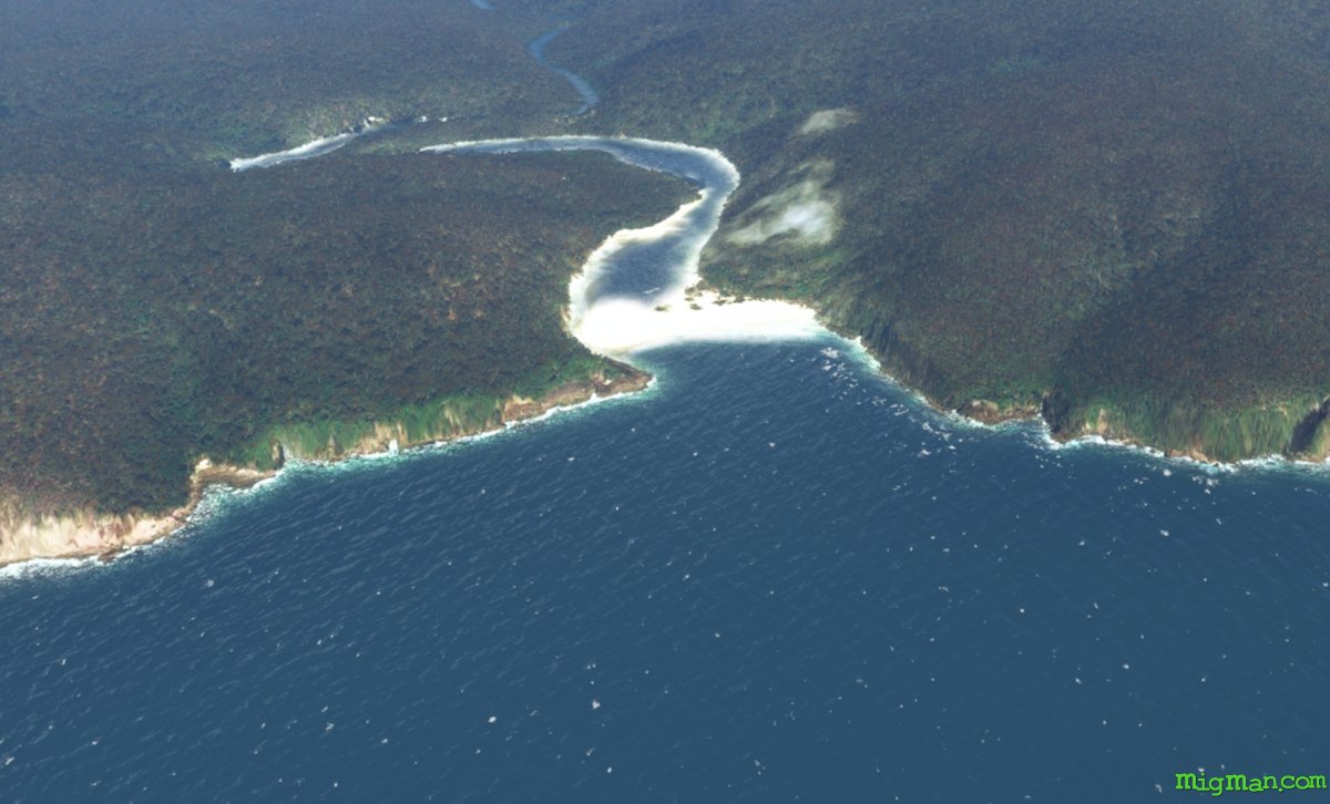
WP 3 - Mouth to the Merrica River
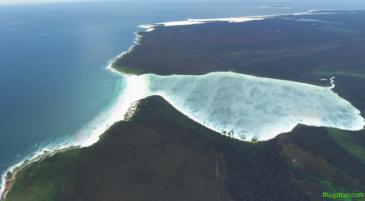
WP 4 - Cape Howe, the easternmost point of Victoria, is on the border with N.S.W. about 2.5 nm past Nadgee Lake
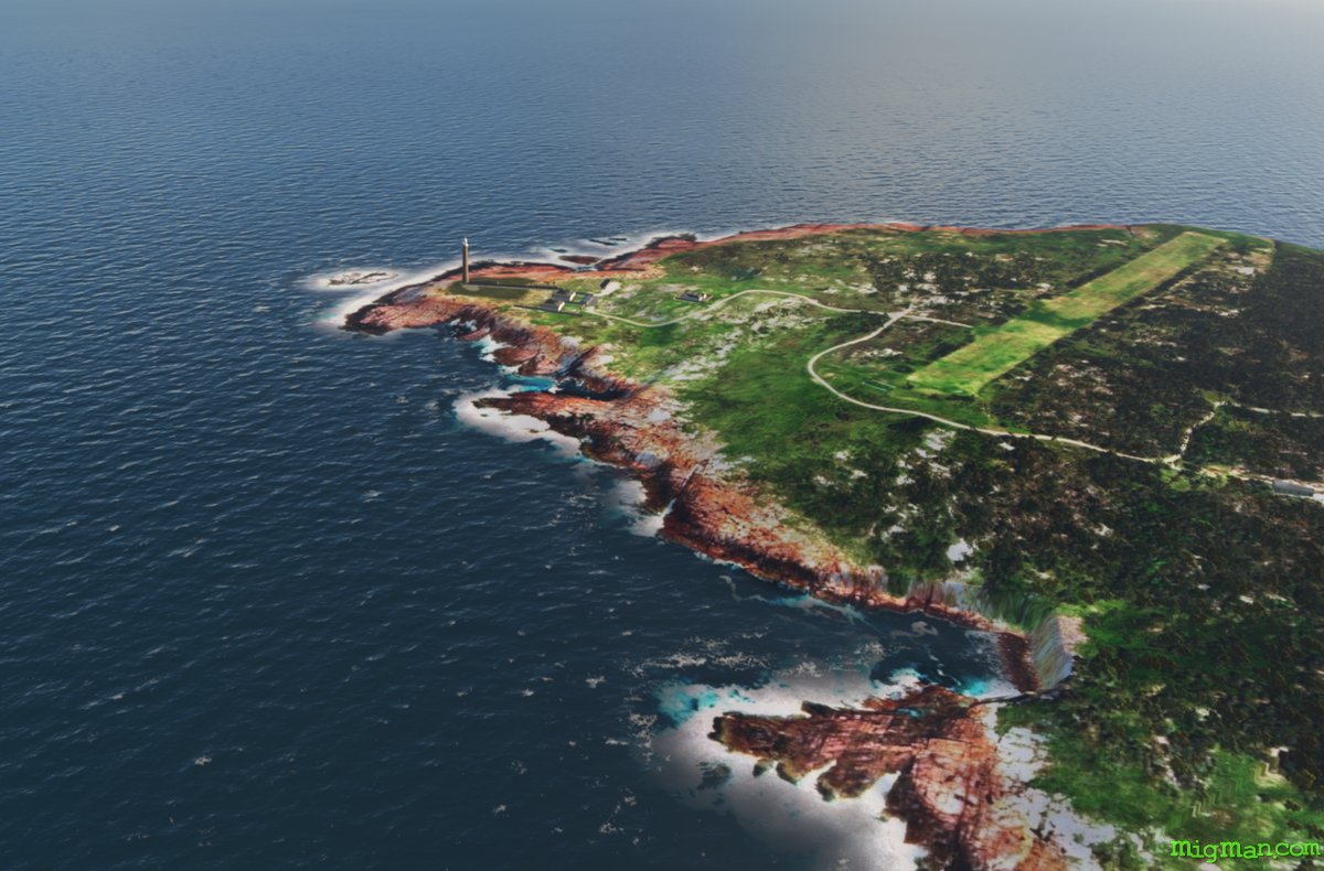
WP 5 - Gabo Island Lighthouse and Gabo Island Airport YGBO
WP 6 - Mallacoota Airport YMCO (Victoria)
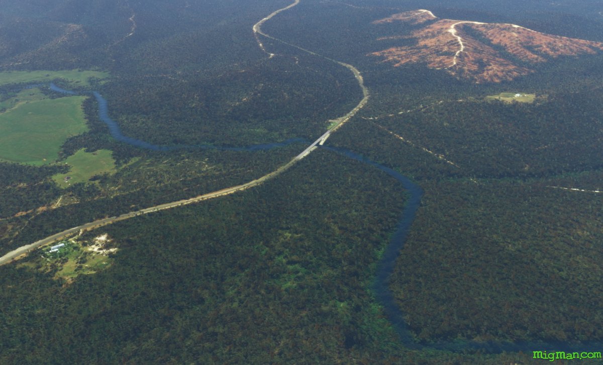
WP 7 - Bridge on the Princes Highway over the Wallagaraugh River, 2 nm N of the N.S.W. and Victoria border
WP 8 - Follow the Princes Highway N to Eden
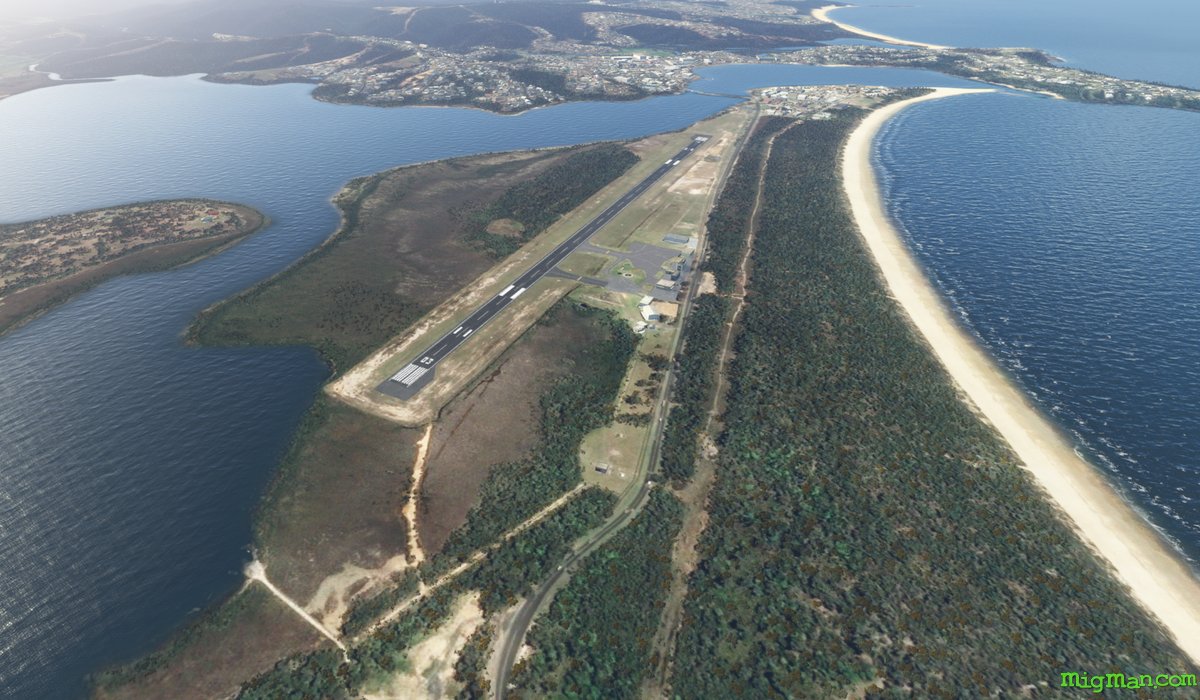
WP 9 - Land at Merimbula YMER