
Australia
Narooma
Description
With the skyline dominated by Dromedary Mountain to the south, Narooma and surrounds are an idyllic combination of sandy beaches, lakes and mild weather.
Nav data
- Country: Australia
- Locale: N.S.W. | South East & Tablelands
- Route: YMRY Moruya to YMRY Moruya
- Distance: 61 nm
- File name: australia-YMRY-to-YMRY-VFR-narooma-230903
Waypoints
- WP 1 - Moruya Bridge over the Moruya River
- WP 2 - Bumbo Lake
- WP 3 - Mount Dromedary
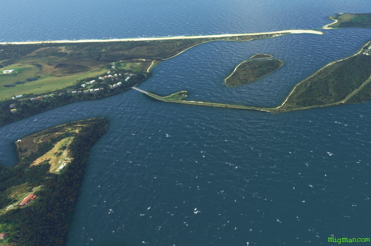
- WP 4 - Wallaga Lake entrance
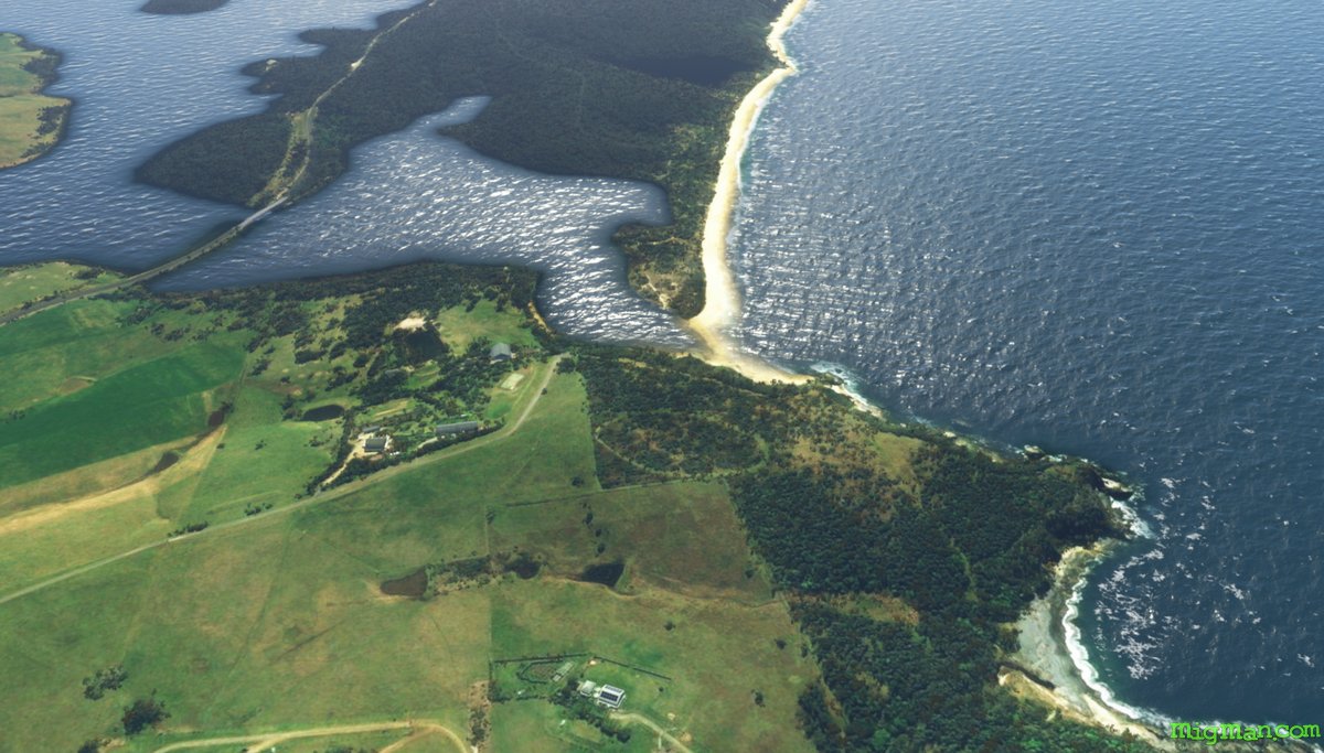
- WP 5 - Corunna Lake entrance
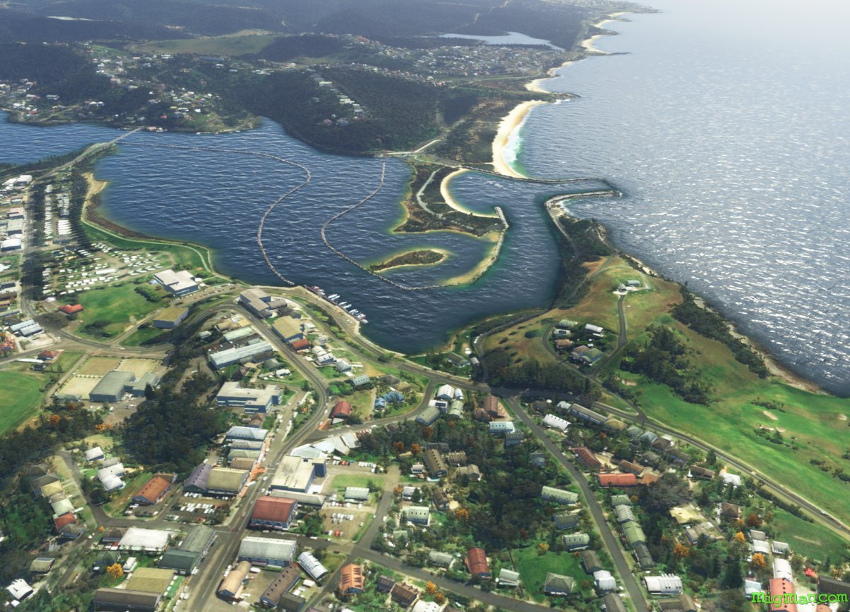
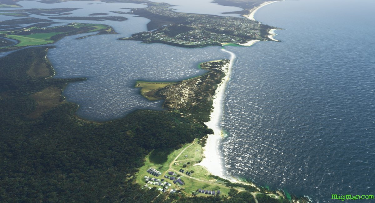
- WP 6 - Wagonga Inlet entrance at Narooma
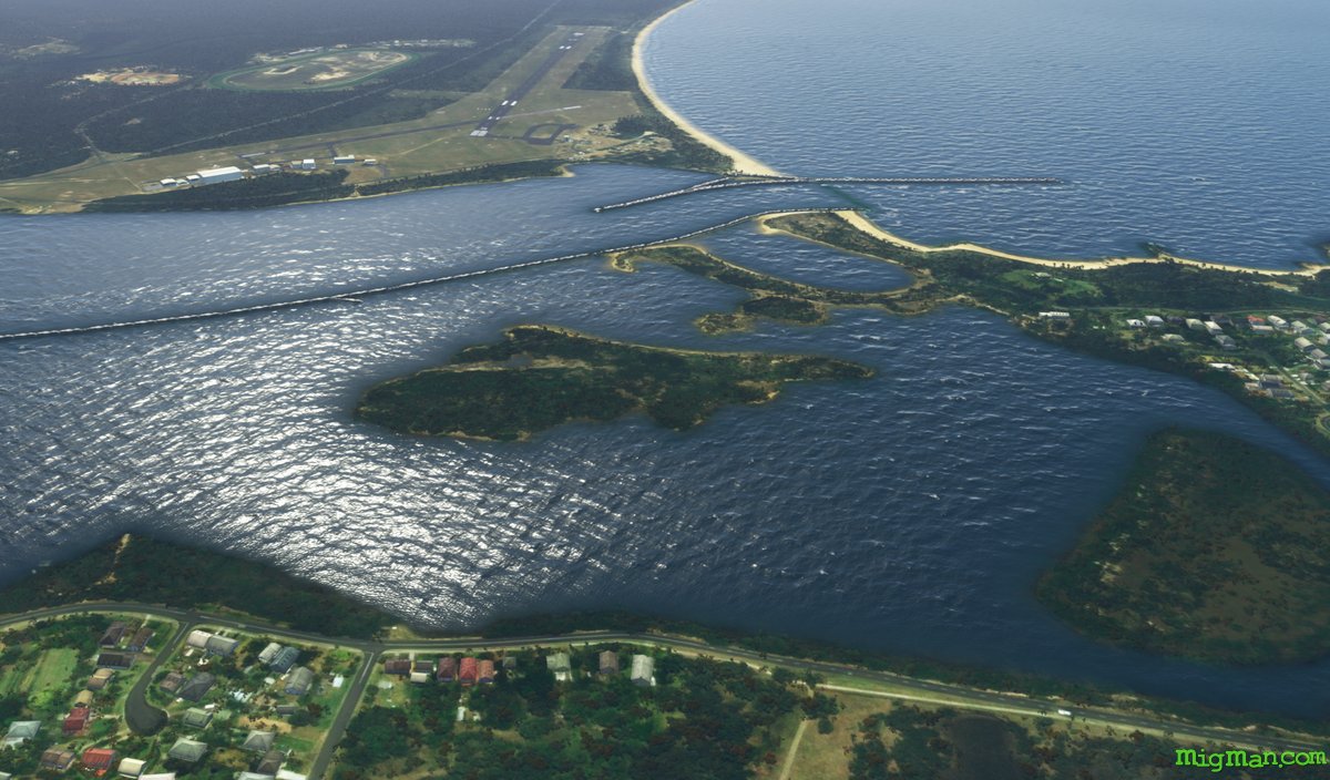
- WP 7 - Tuross Lake entrance at Tuross Head
- WP 8 - Land at Moruya YMRY
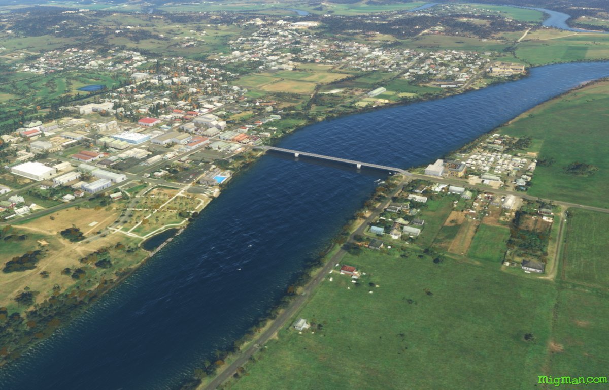
WP 1 - Moruya Bridge over the Moruya River
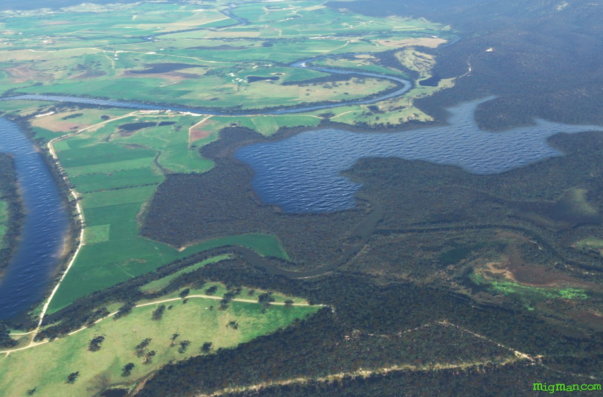
WP 2 - Bumbo Lake
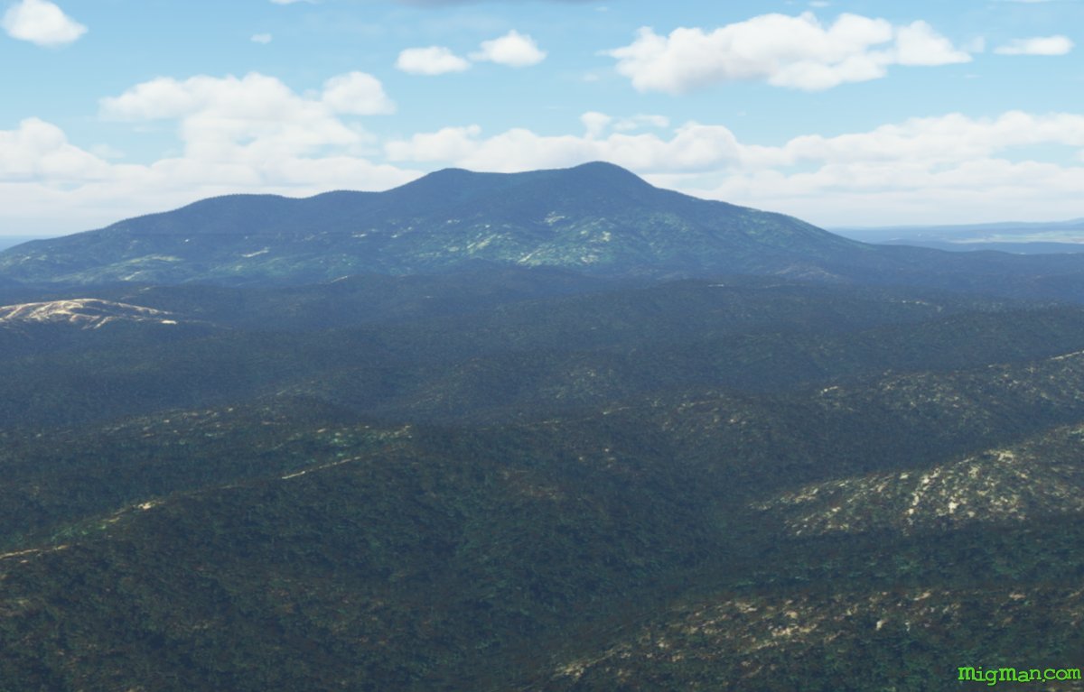
WP 3 - Mount Dromedary
WP 4 - Wallaga Lake entrance
WP 5 - Corunna Lake entrance
WP 6 - Wagonga Inlet entrance at Narooma
WP 7 - Tuross Lake entrance at Tuross Head
WP 8 - Land at Moruya YMRY