
Australia
Meeting of Two Waters
Description
Walgett is an Aboriginal word meaning "meeting of two waters", in this case the Namoi and Barwon Rivers. The area is an agricultural powerhouse, producing everything from Murray Cod (fish) to mutton and wool, beef, chick peas, barley, lucerne, cotton and wheat.
Nav data
- Country: Australia
- Locale: N.S.W. | Far West
- Route: YWLG Walgett to YWLG Walgett
- Distance: nm
- File name: australia-YWLG-to-YWLG-VFR-walgett-230608
Waypoints
- WP 1 - NE for 3 nm to Walgett Wheat Siding
- WP 2 - N for 5 nm along the Castlereagh Highway to intersection with the Gwydir Highway at Gowrie
- WP 3 - NE for 17 nm along the Gwydir Highway to the airstrip at Minnamurra
- WP 4 - SE for 6 nm to the pond at Barwon Nature Reserve
- WP 5 - S for 10 nm to the stockyards
- WP 6 - S for 11 nm to the bridge over the Namoi River at Goangra Road
- WP 7 - W for 6 nm along Come by Chance Road to the intersection with Meadow Plains Road
- WP 8 - NW for 9 nm along Come by Chance Road to Walgett Airport YWLG
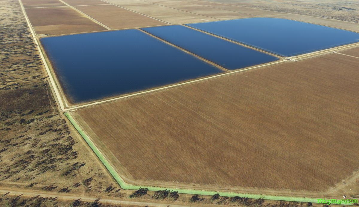
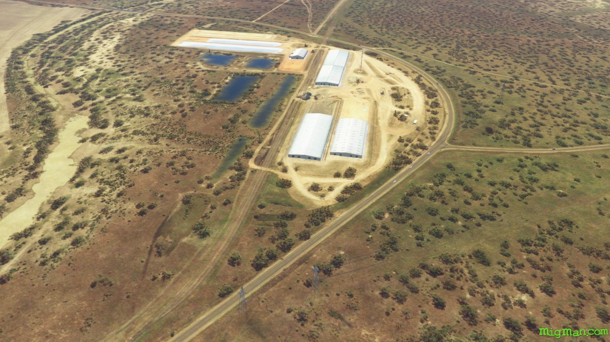 WP 1 - NE for 3 nm to Walgett Wheat Siding
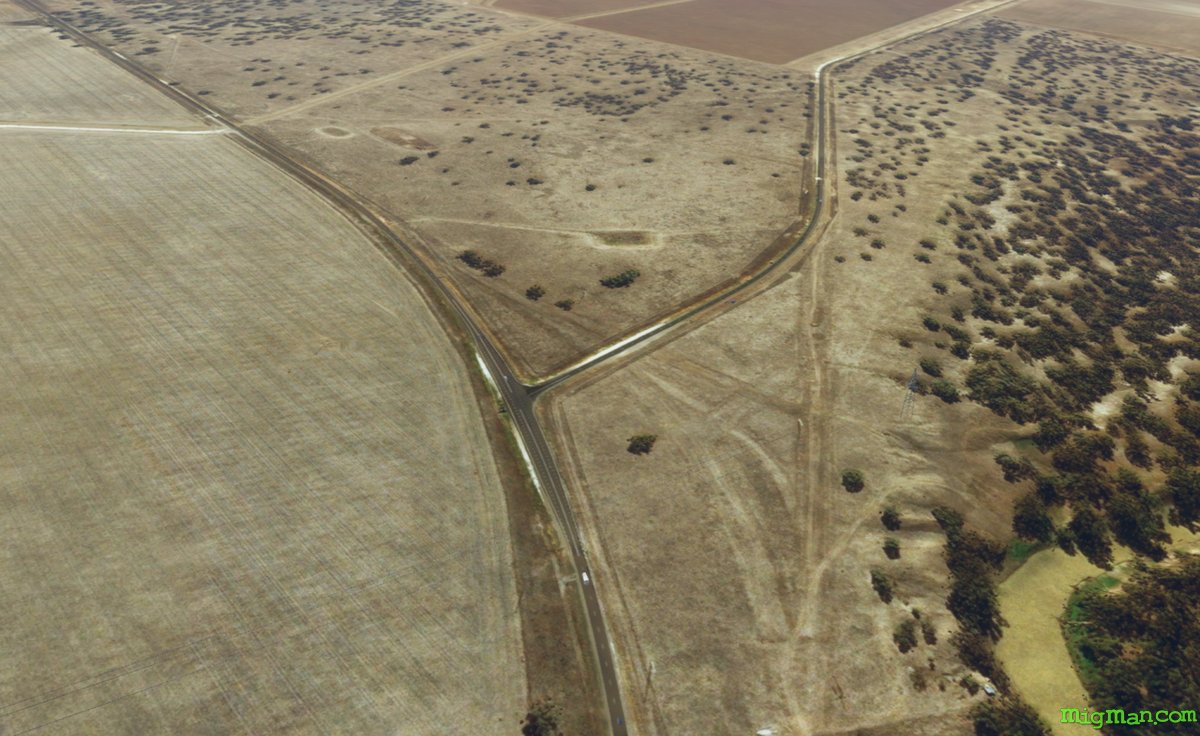 WP 2 - N for 5 nm along the Castlereagh Highway to intersection with the Gwydir Highway at Gowrie
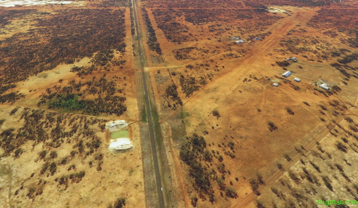 WP 3 - NE for 17 nm along the Gwydir Highway to the airstrip at MinnamurraWP 4 - SE for 6 nm to the pond at Barwon Nature Reserve
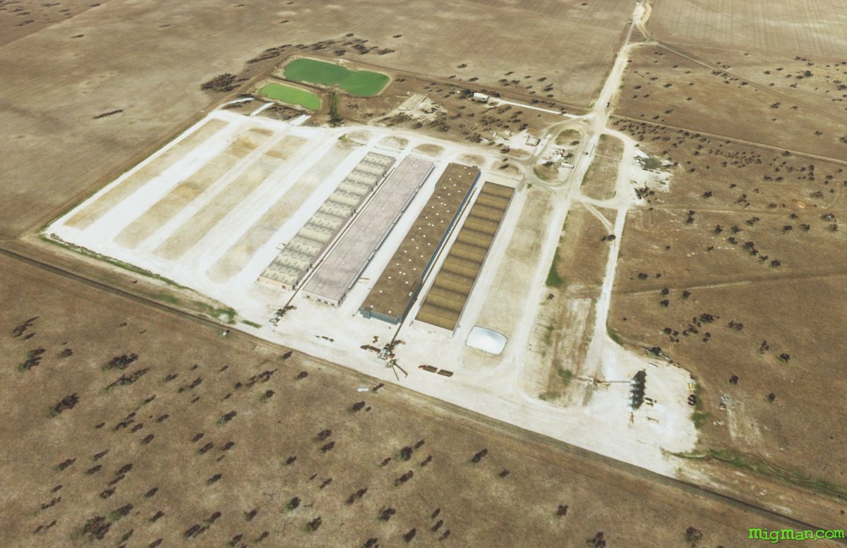 WP 5 - S for 10 nm to the stockyards
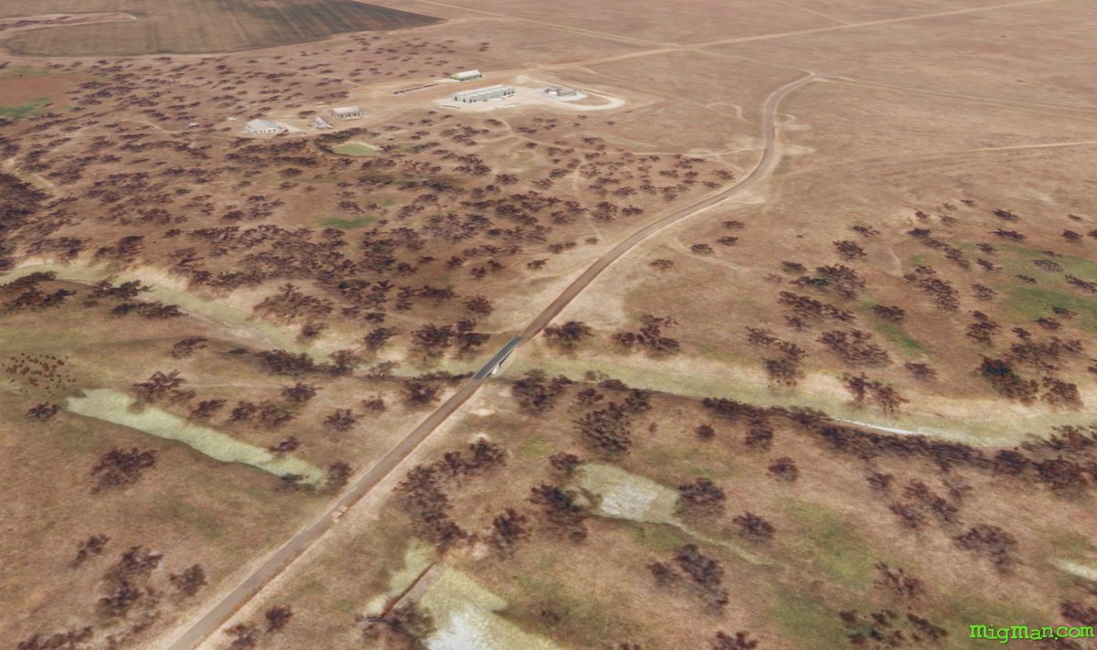 WP 6 - S for 11 nm to the bridge over the Namoi River at Goangra Road
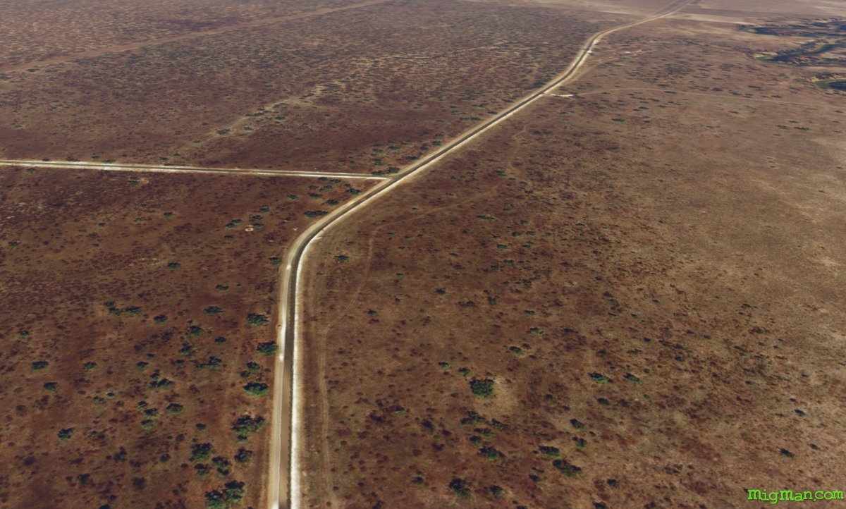 WP 7 - W for 6 nm along Come by Chance Road to the intersection with Meadow Plains Road
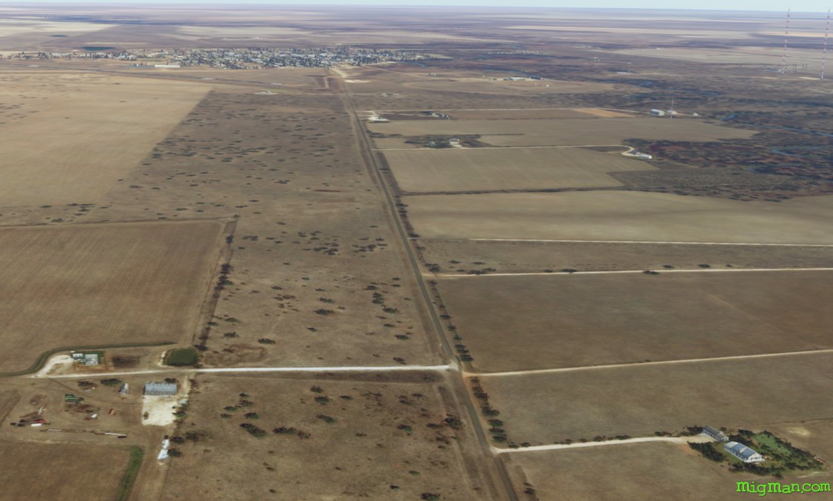 Approaching Walgett
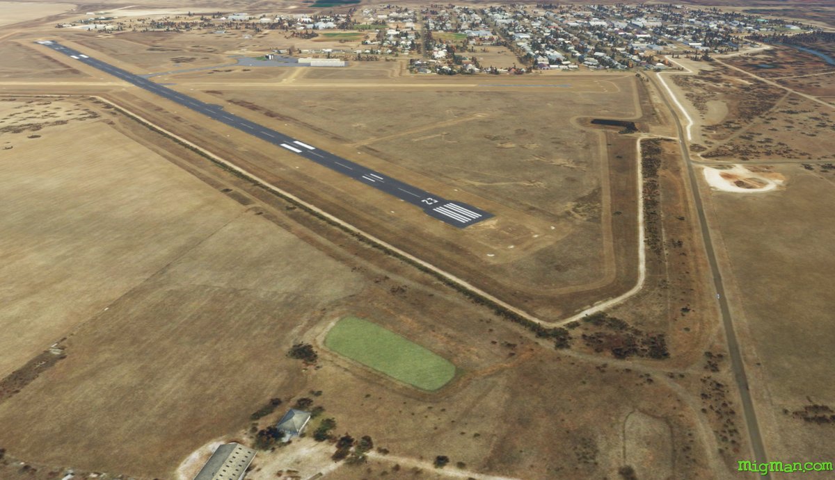 WP 8 - NW for 9 nm along Come by Chance Road to Walgett Airport YWLG
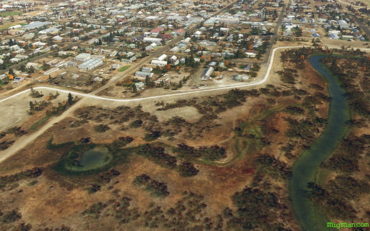 Walgett