
Australia
Bush Strips Back'o'Burke
Description
Get a taste of outback aviating by performing touch'n'goes at these remote airstrips. Most of these service the cattle stations which typically run to thousands of acres on the parched red earth found through most of the Australian outback.
Nav data
- Country: Australia
- Locale: N.S.W. | Far West
- Route: YWAG Wanaaring to YWAG Wanaaring
- Distance: 104 nm
- File name: australia-YWAG-to-YWAG-VFR-wanaaring-230611
Waypoints
- WP 1 - Airstrip W of the Wilcannia-Wanaaring Road
- WP 2 - Airstrip E of the Wilcannia-Wanaaring Road
- WP 3 - Titerweira airstrip E of the Wilcannia-Wanaaring Road
- WP 4 - Noonamah airstrip S of the Wilcannia-Wanaaring Road and Garden Vale Road junction
- WP 5 - Salt Lake Airstrip
- WP 6 - Kulkyne Creek crossing at Bourke-Milparinka Road
- Follow the Bourke-Milparinka Road W for 19 nm to Wanaaring Airport YWAG
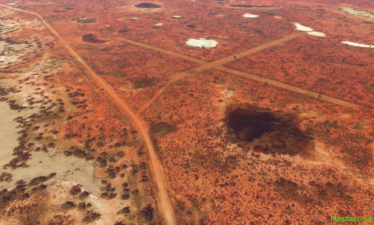
WP 1 - Airstrip W of the Wilcannia-Wanaaring Road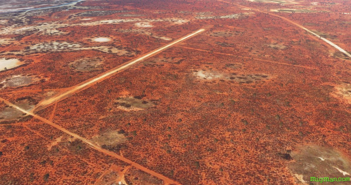 WP 2 - Airstrip E of the Wilcannia-Wanaaring Road
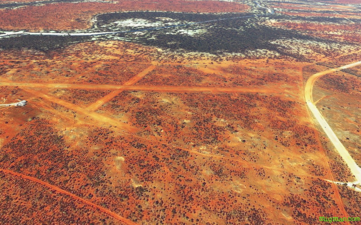 WP 3 - Titerweira airstrip E of the Wilcannia-Wanaaring Road
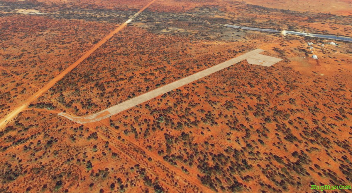 WP 4 - Noonamah airstrip S of the Wilcannia-Wanaaring Road and Garden Vale Road junction
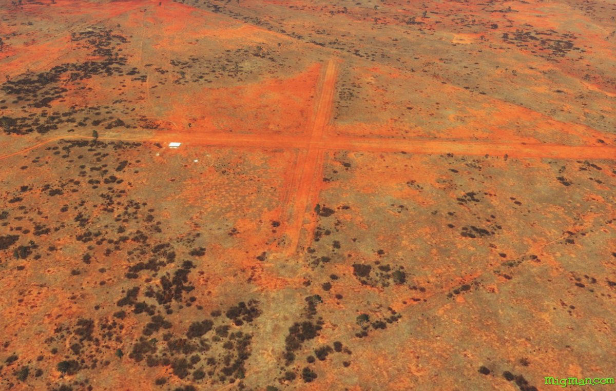 WP 5 - Salt Lake Airstrip
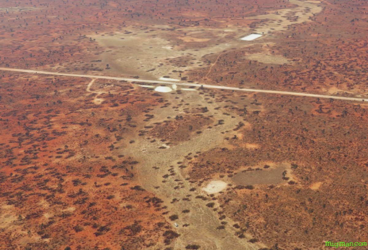 WP 6 - Kulkyne Creek crossing at Bourke-Milparinka Road
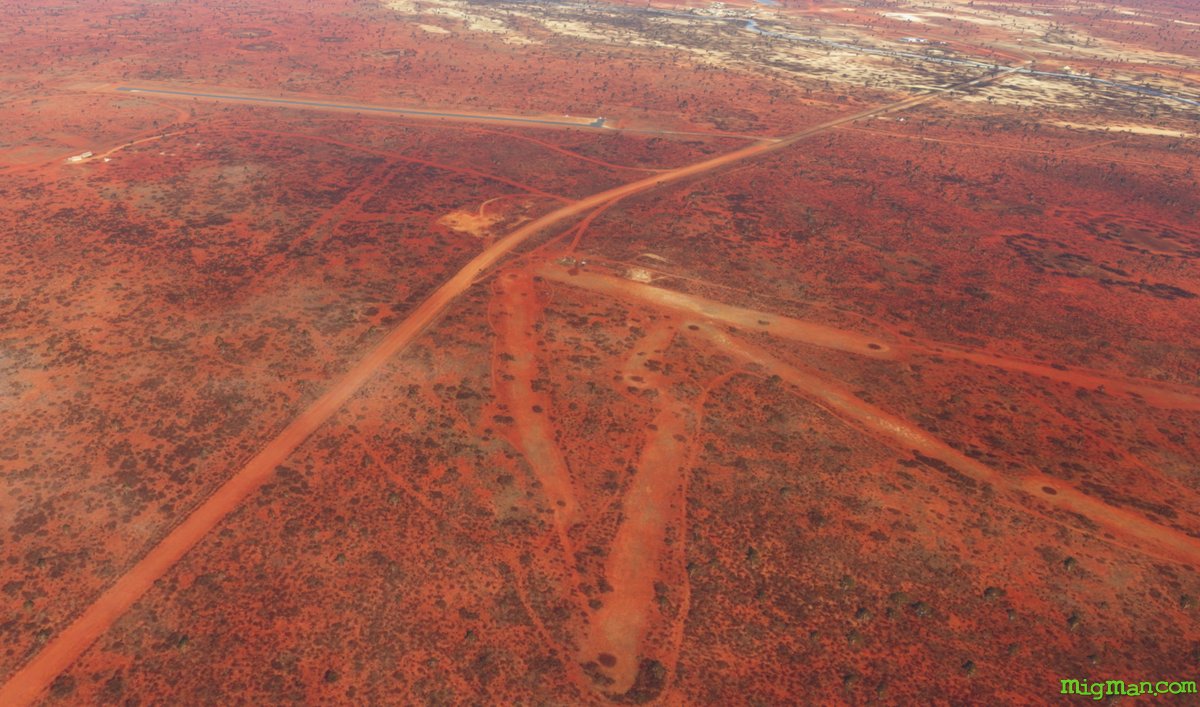 Follow the Bourke-Milparinka Road W for 19 nm to Wanaaring Airport YWAG
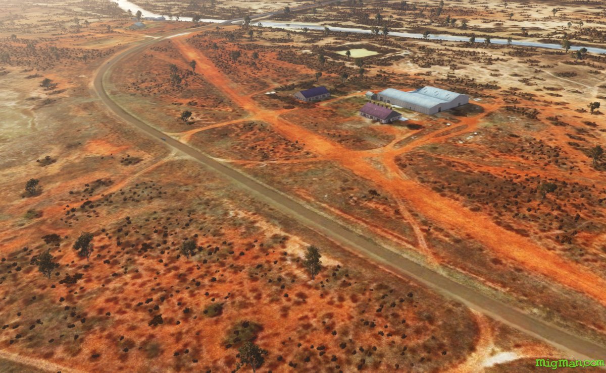 Wanaaring