
Bahamas
The Colours of Andros
Follow the coast from Andros Town airport (length: 4,396ft) and enjoy the spectacular colours and textures in the nothern part of the Bahamas. NOTAM: WP 8 - The main lumber road is best seen by looking north, out your left window. Not a turn point. it is about 1/2 way across the island and at the only forest in this flight. Note that the entire route up to WP 7 can be flown by merely following the coast.
- Country: Bahamas
- Locale: Andros Town
- Route: Andros Town (MYAF) to Andros Town (MYAF)
- Distance: 109 nm
- File name: bahamas-MYAF-to-MYAF-VFR-andros-town-220218
Waypoints
- WP 1 - Stafford Creek
- WP 2 - Mastic Point Settlement
- WP 3 - Morgan's Bluff | > Conch Sound Settlement
- WP 4 - NW corner of the island | Follow the coast S
- WP 5 - Promontory
- WP 6 - Pumpion Lake, opposite Williams Island | Fly E across the island to the airport
- WP 7 - Forest / Main lumber road
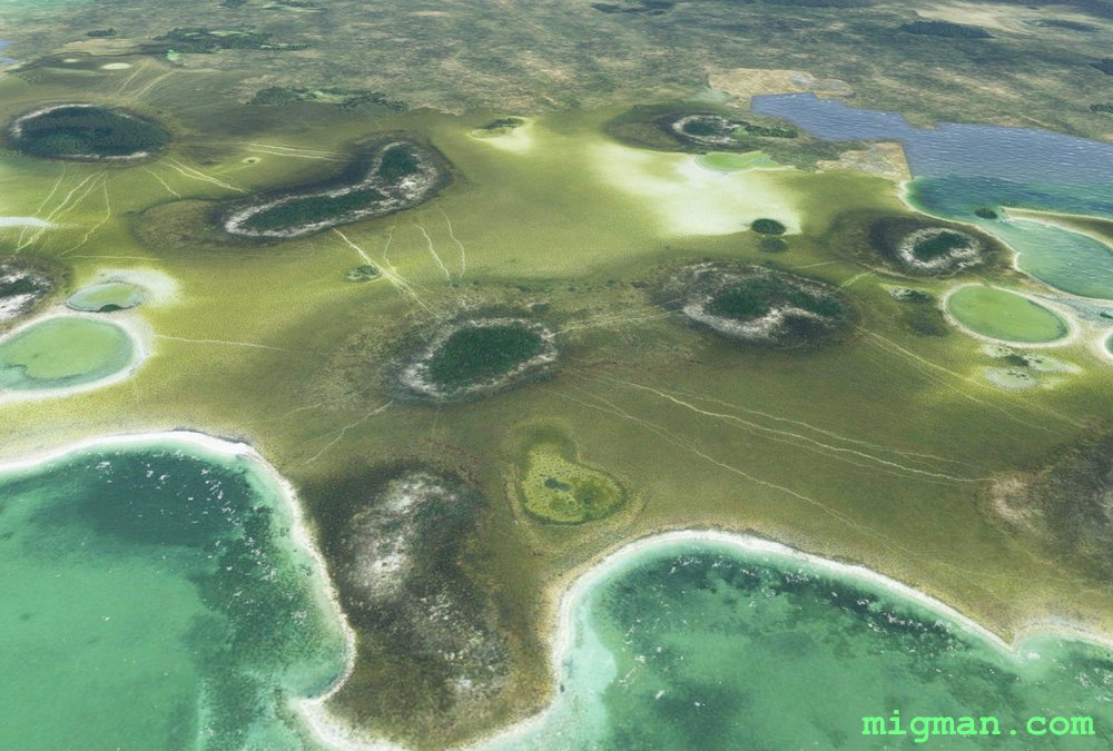
 Heading N up the coast from Andros Town
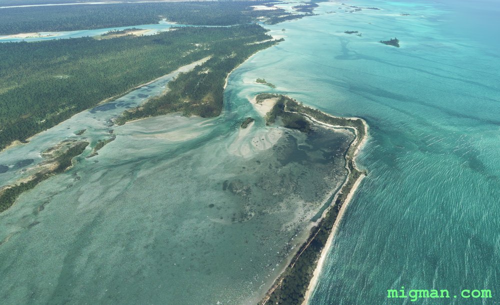 Heading N up the coast from Andros Town
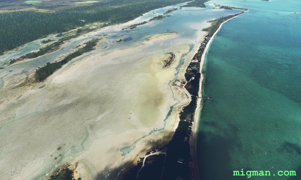
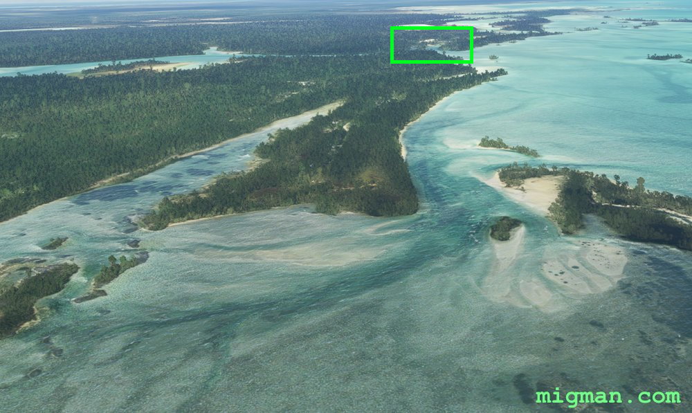 WP 1 - Stafford Creek
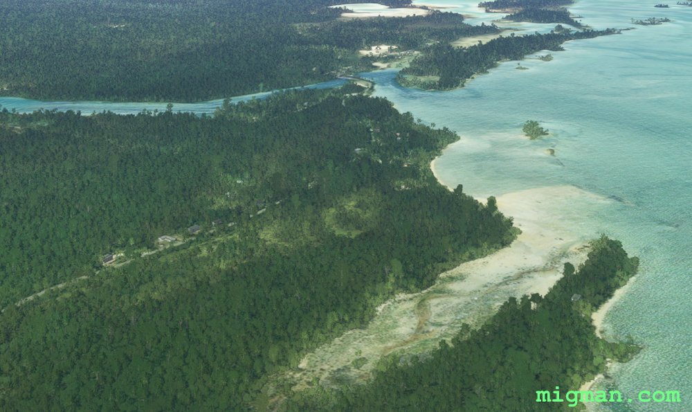 WP 1 - Stafford Creek
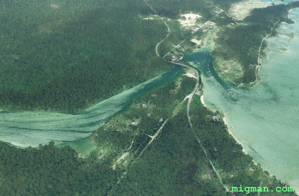 WP 1 - Stafford Creek
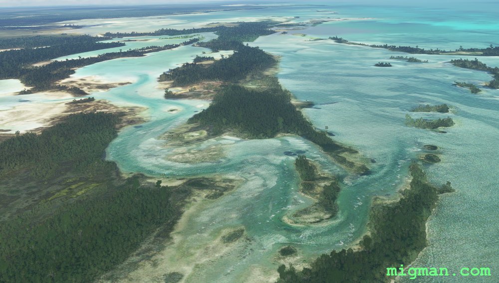 Heading N up the coast from Stafford Creek
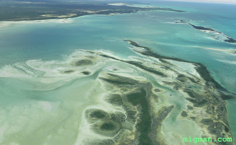 Heading N up the coast from Stafford Creek
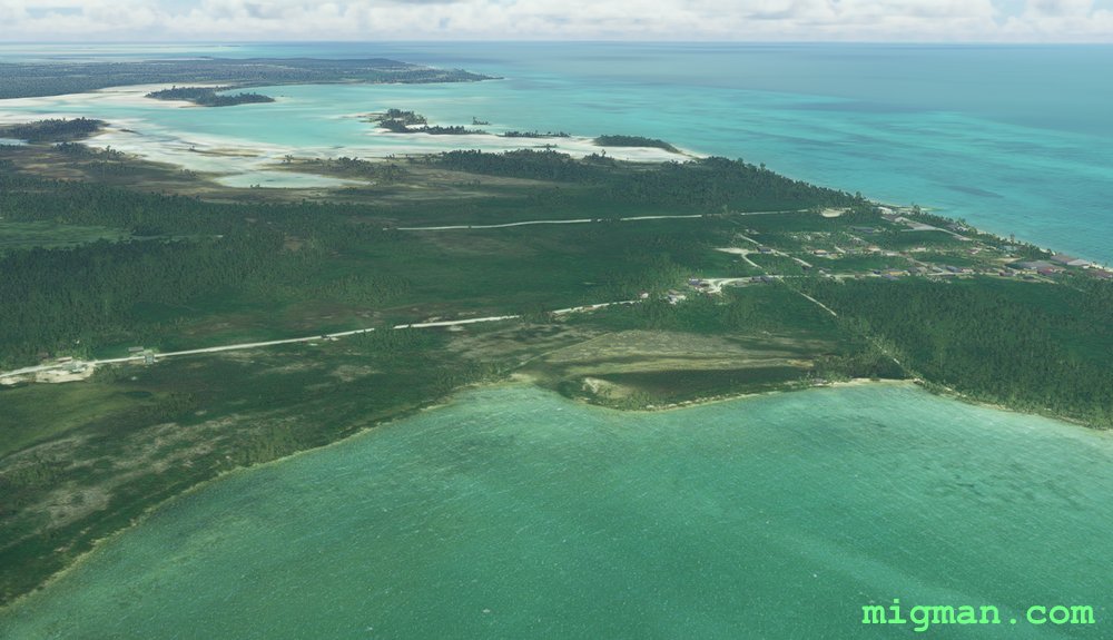 WP 2 - Mastic Point Settlement
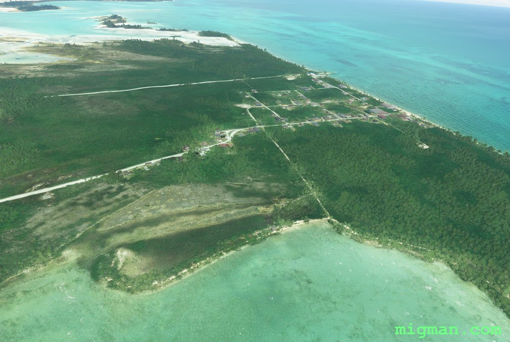 WP 2 - Mastic Point Settlement
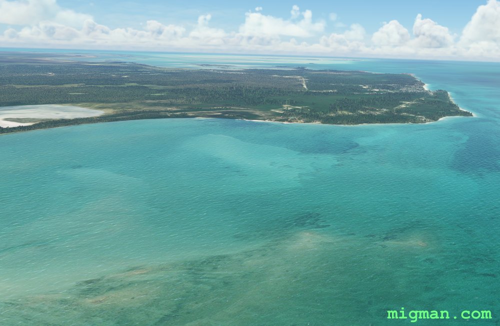 Conch Sound Settlement
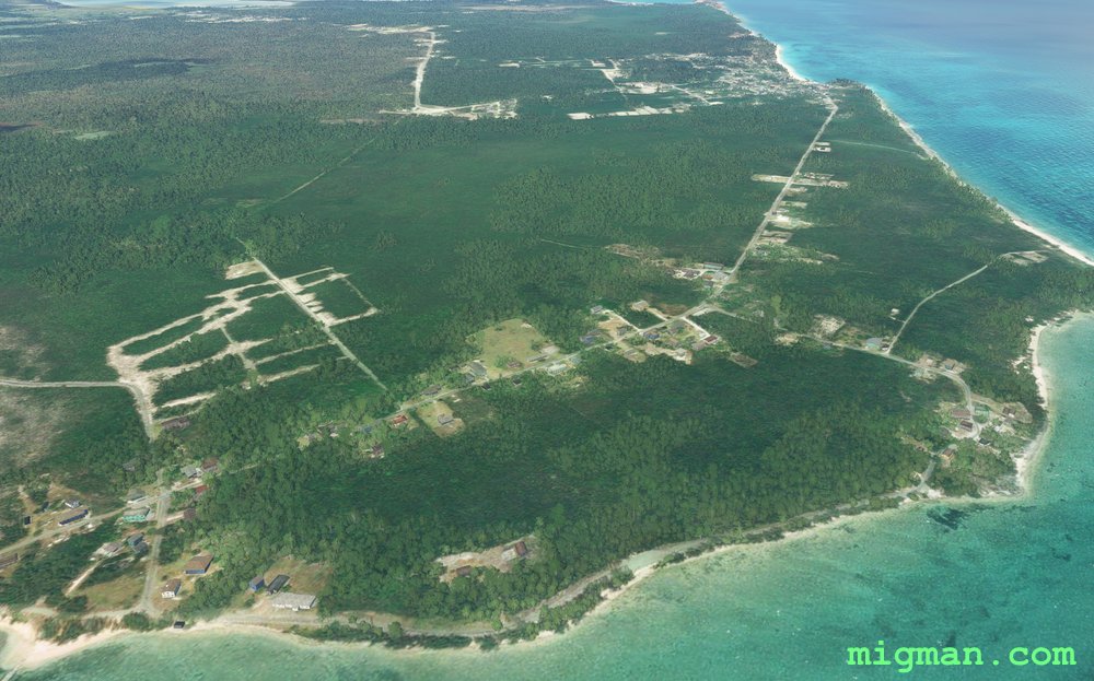 Conch Sound Settlement
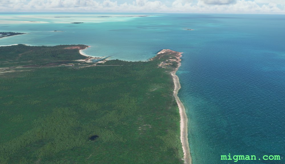 WP 3 - Morgan's Bluff
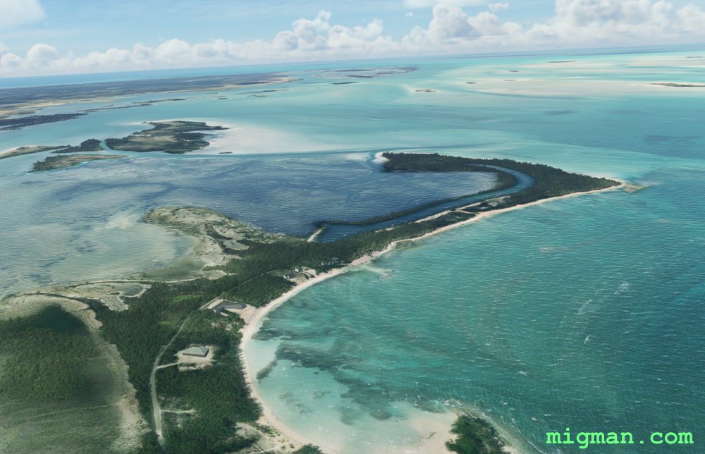 Knoll's Landing
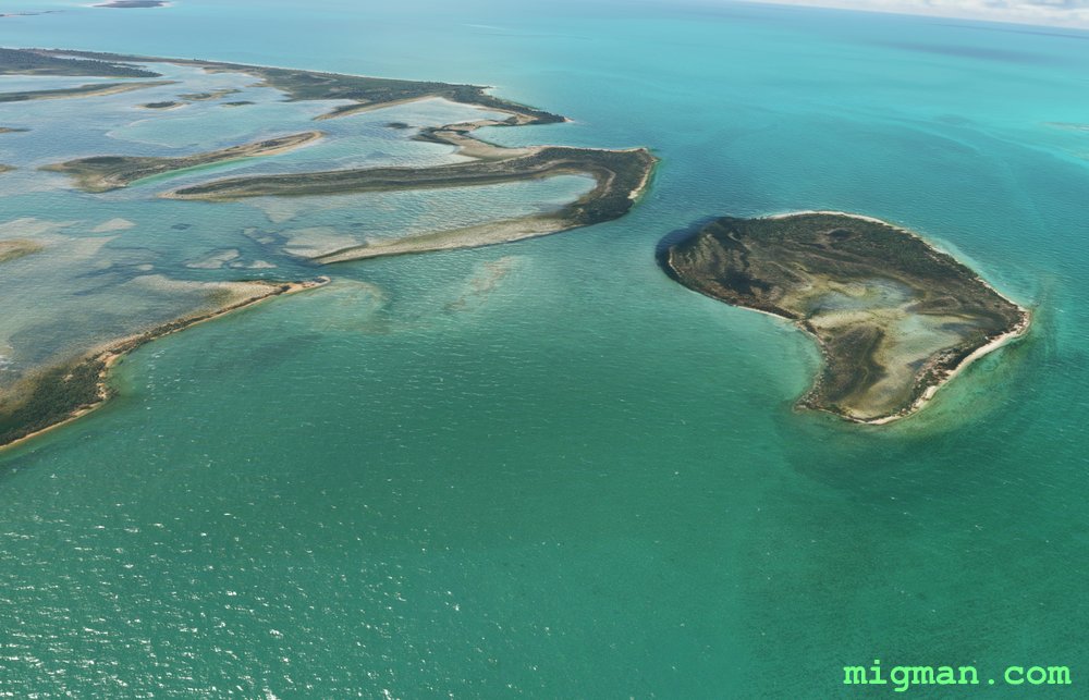 WP 4 - NW corner of the island
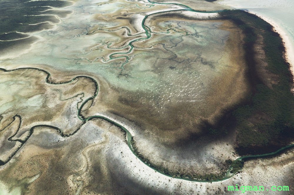 Follow the coast S
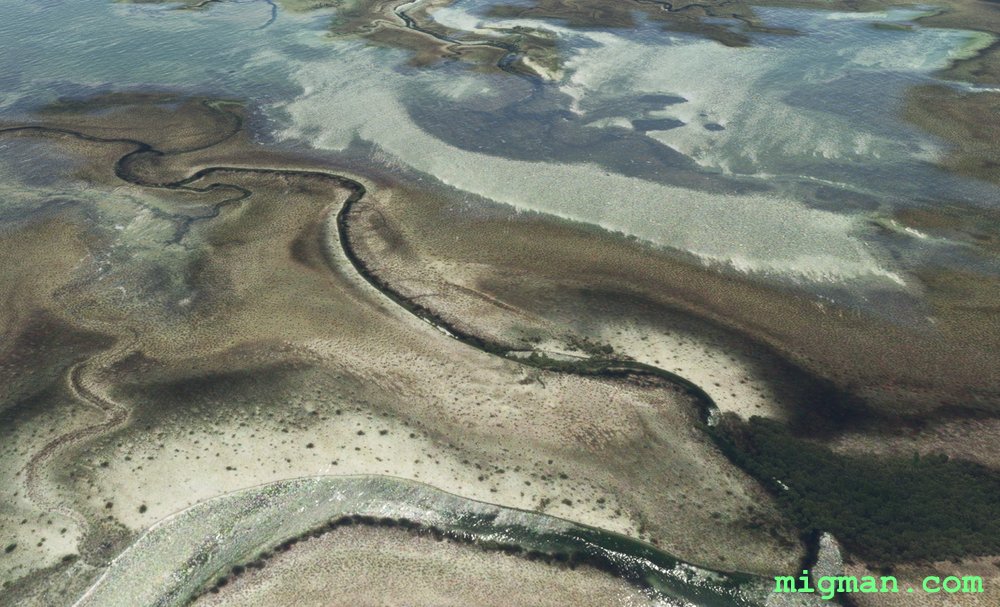 Follow the coast S
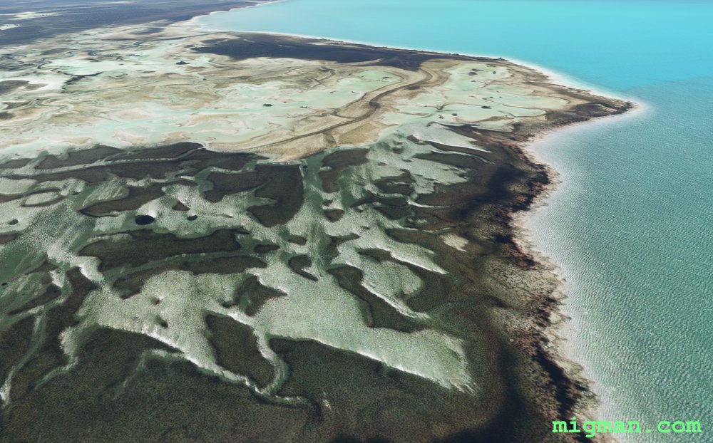 WP 5 - Promontory
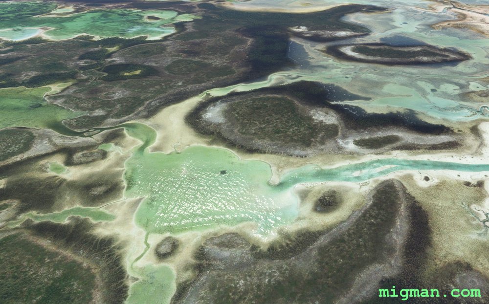 Follow the coast S
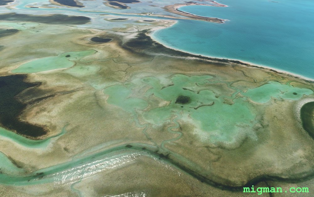 Follow the coast S
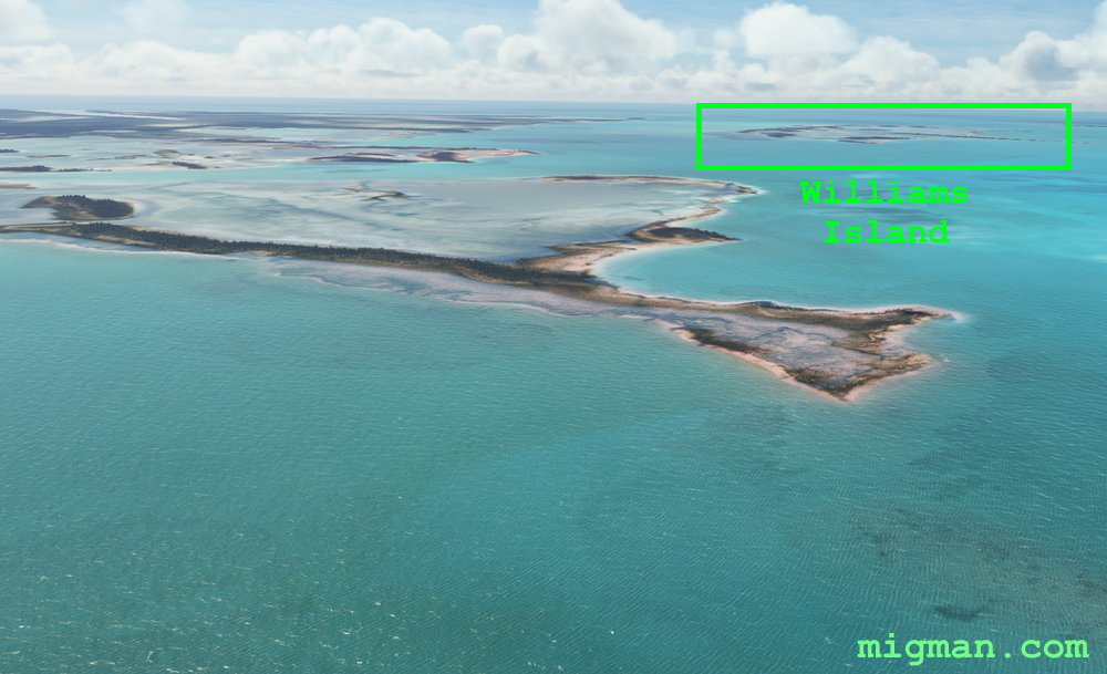 WP 6 - Pumpion Lake, opposite Williams Island | Fly E across the island to the airport
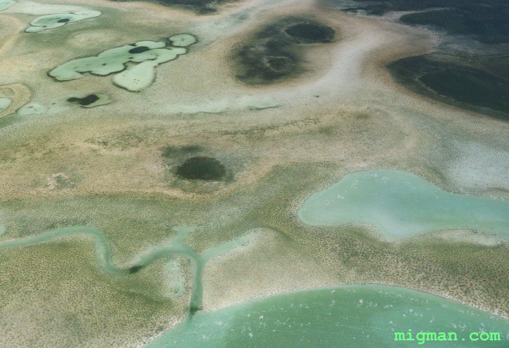 Fly eastFly east
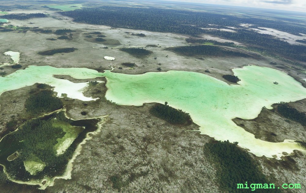 WP 7 - Forest
The main lumber road is almost dead centre in the forest, running left top right (NW to SE)
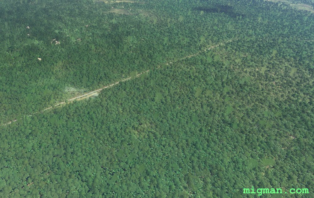 WP 7 - Forest / Main lumber road
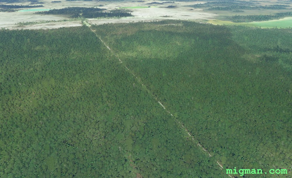 Looking left (north) at WP 7 - Forest / Main lumber road
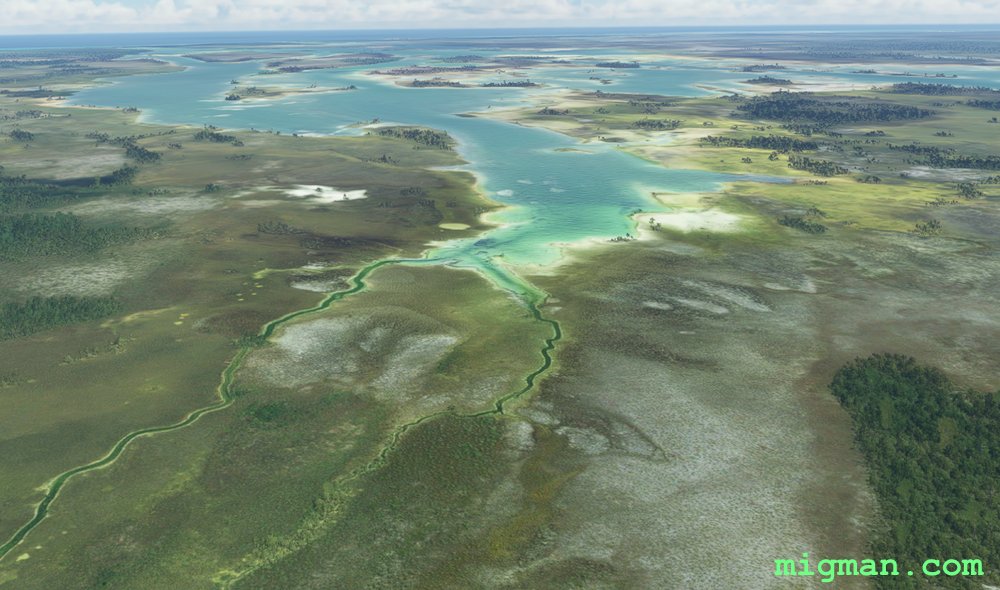 Fly east
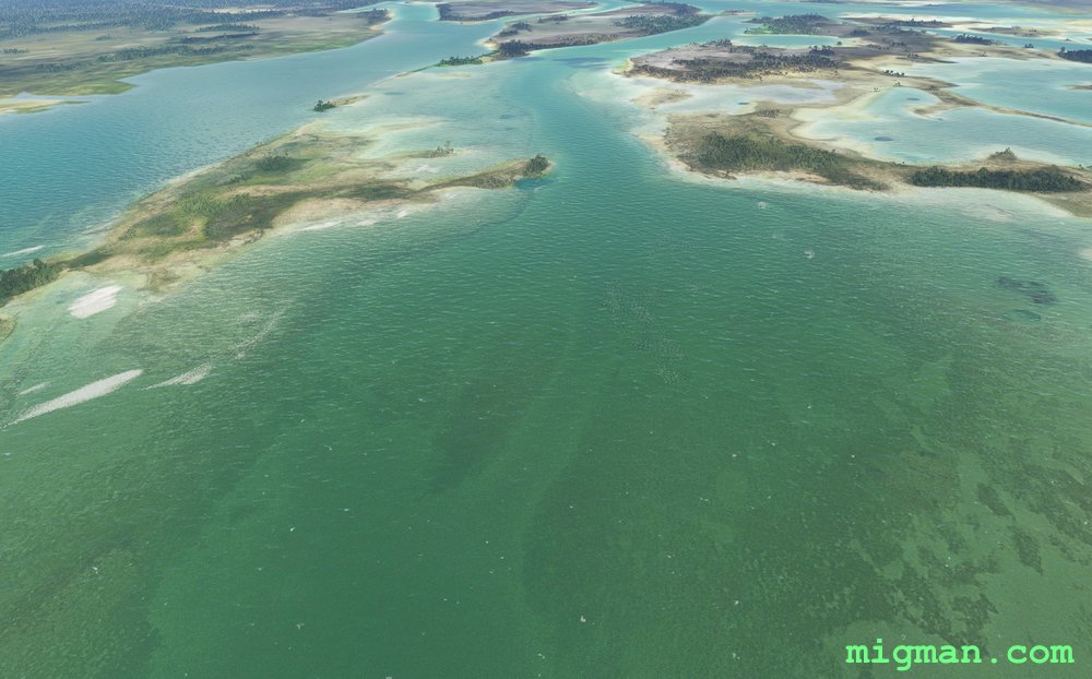 Fly east
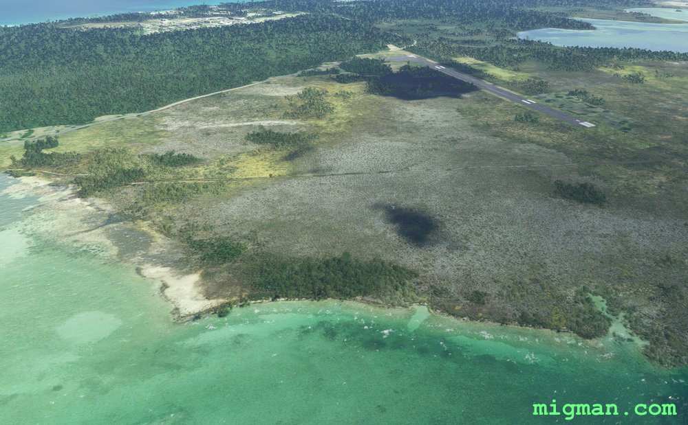 Andros Town (MYAF)
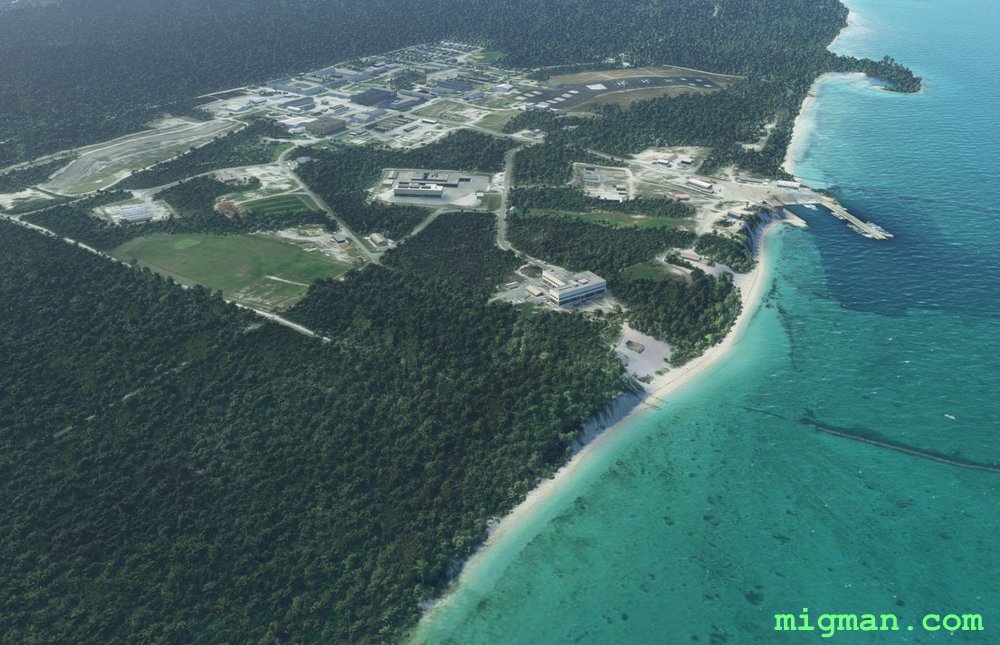 Andros Town
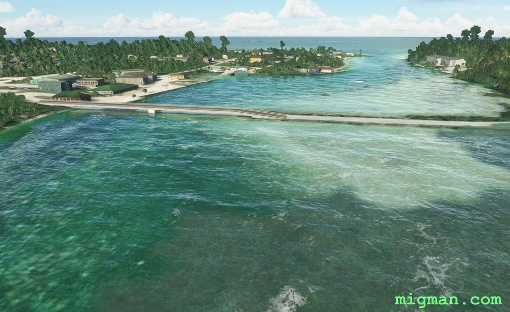 Andros Town
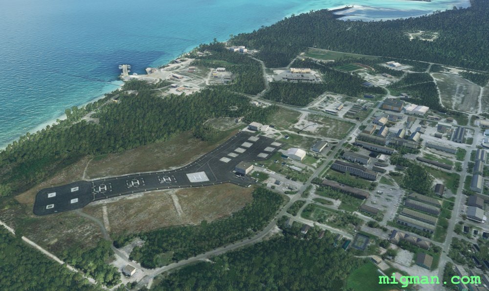 Andros Town