
Belgium
Battle of Waterloo
- Country: Belgium
- Locale: Brussels
- Route: Brussels (EBBR) to Brussels (EBBR)
- Distance: 41 nm
- File name: belgium-EBBR-to-EBBR-VFR-waterloo-210906
This is one of those flight plans that is MUCH easier to fly than it looks on paper, as we are basically following roads, and very prominent multi-laned roads at that.
We are following a 6 land highway over the top of Brussels to the west, then south all the way down to the site of the Battle of Waterloo. Feel free to linger there, maybe land at a winery and enjoy the historical vibe. The return journey is simplicity itself as we fly directly north back to Brussels.
Recommended altitude: 500 feet
Recommended speed: 80-120 kts
Waypoints
- WP 1 - Bridge. Follow the 6 lane highway
- WP 2 - (Bridges at 90 degrees)
- WP 3 - Flyovers, veer left
- WP 4 - Veer left
- WP 5 - Bridge, veer right
- WP 6 - Intersection. Straight ahead. Note: Huizinger Estate is on the left
- WP 7 - Take left exit
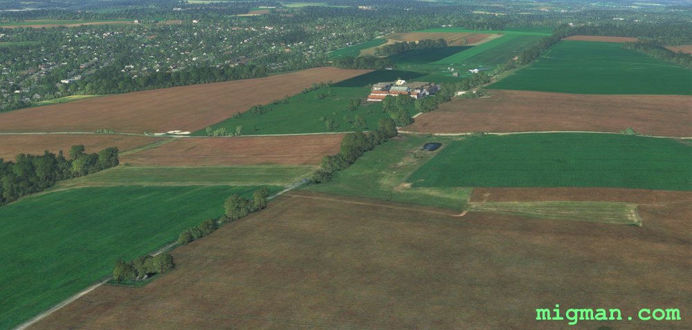
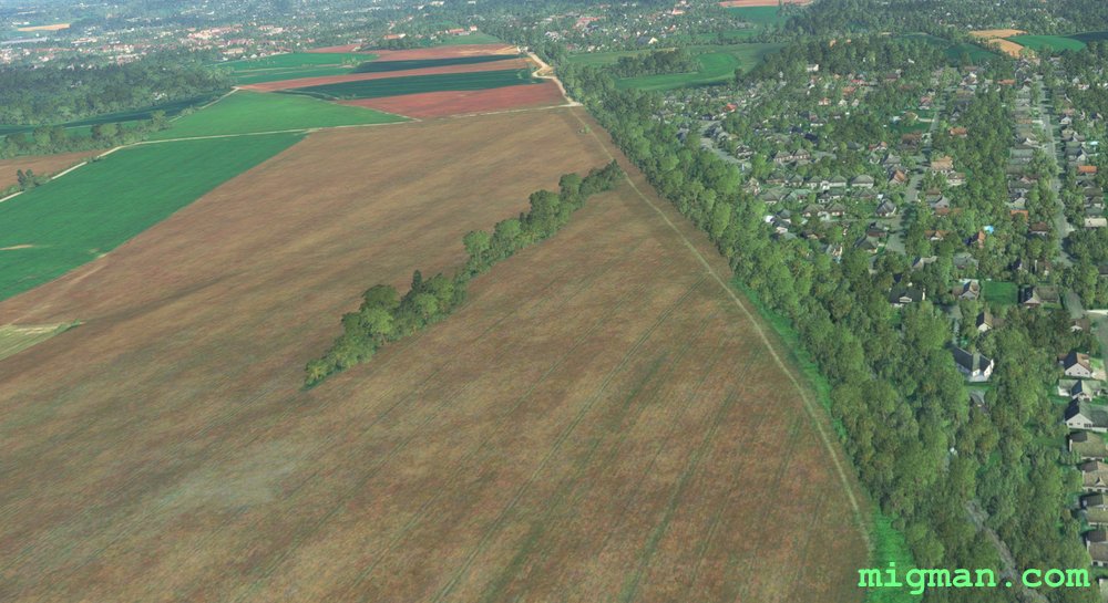
- WP 8 - Left 90 deg, follow the rail line over the Battle of Waterloo site
- WP 9 - Le Chalet Robinson
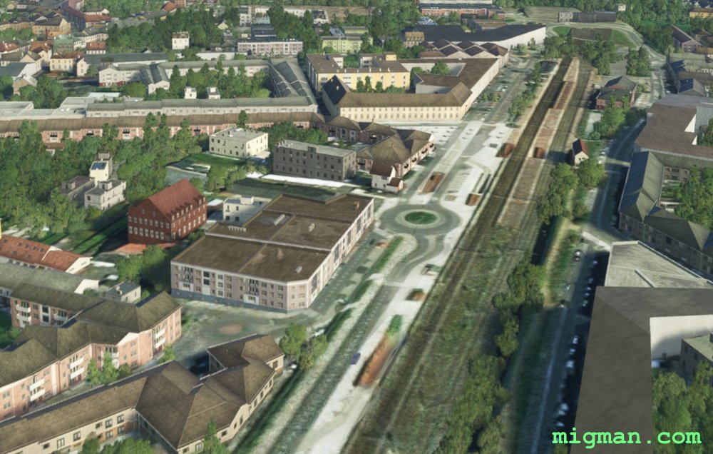
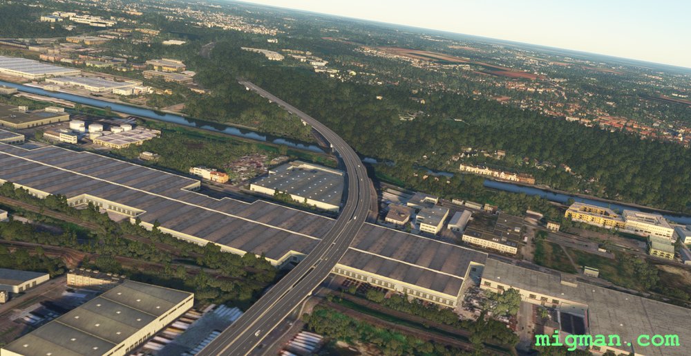 WP 1 - Bridge. Follow the 6 lane highway
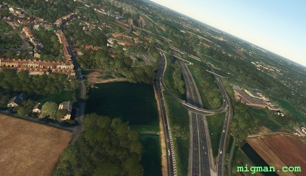
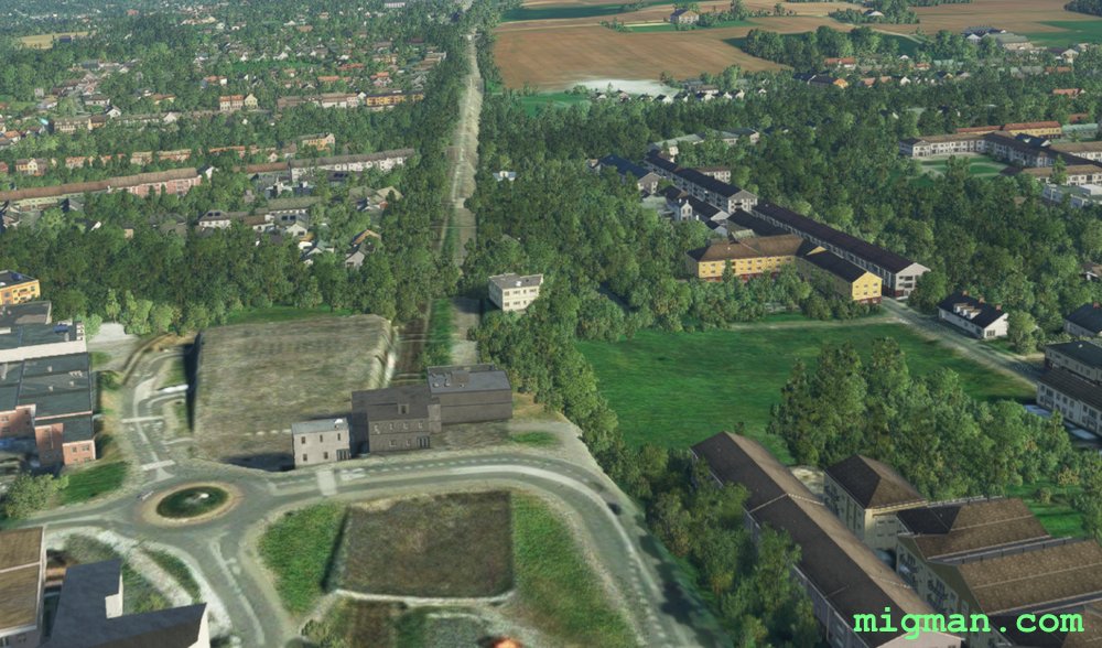
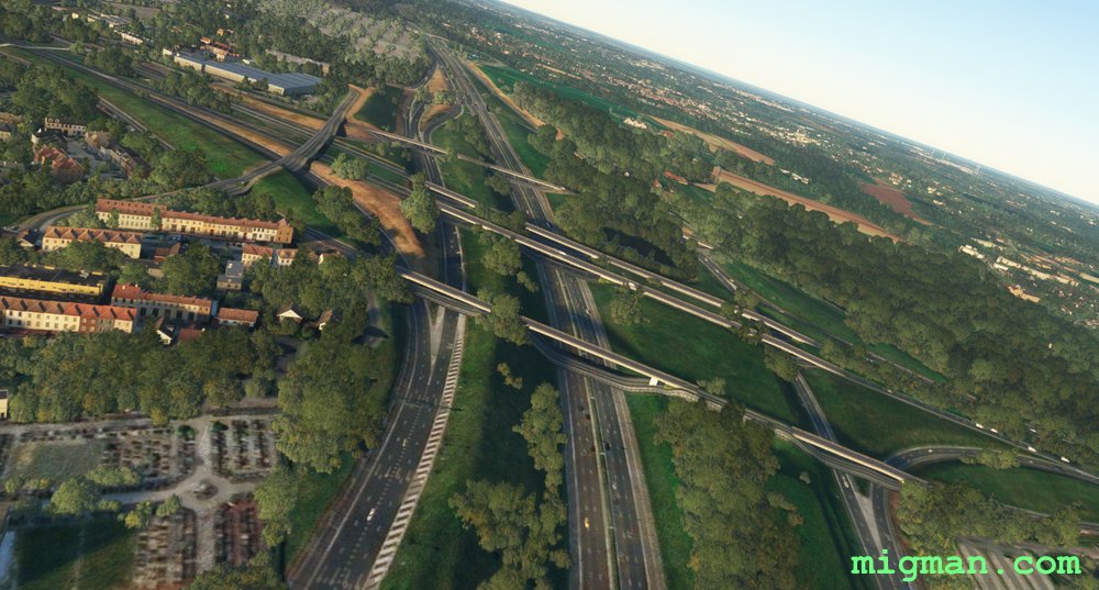 WP 2 - (Bridges at 90 degrees)
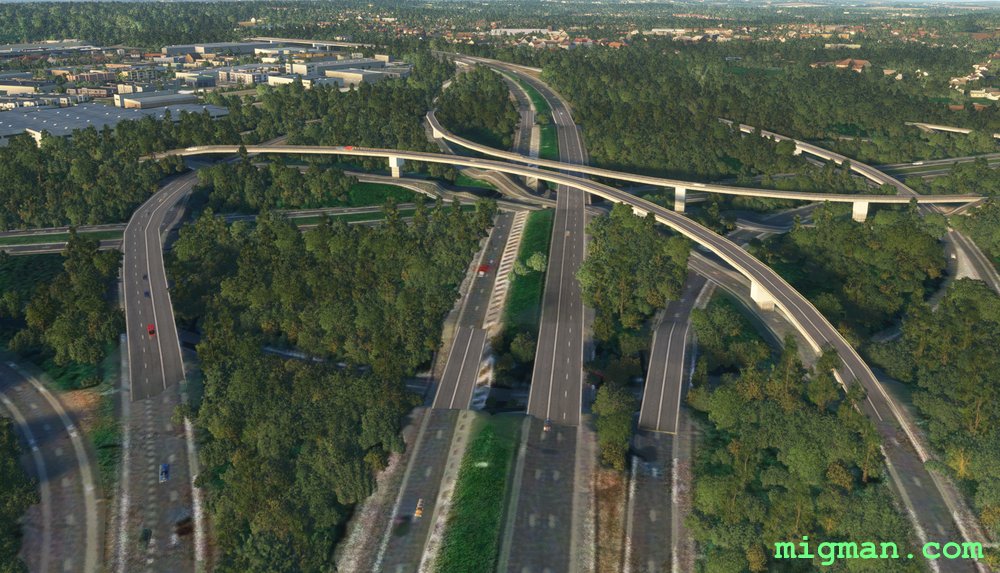 WP 3 - Flyovers, veer left
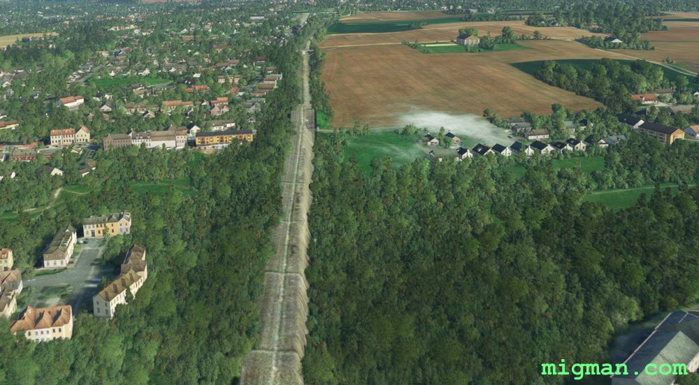
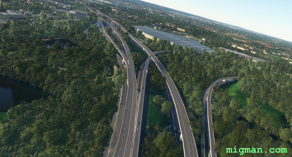 WP 4 - Veer left
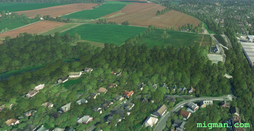
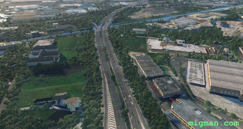 WP 5 - Bridge, veer right
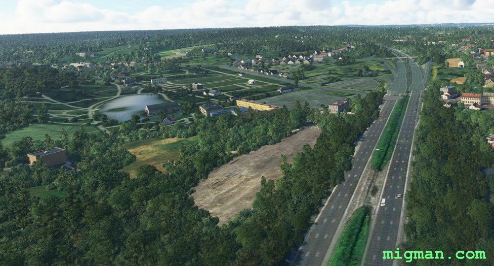 WP 6 - Intersection. Straight ahead. Note: Huizinger Estate is on the left
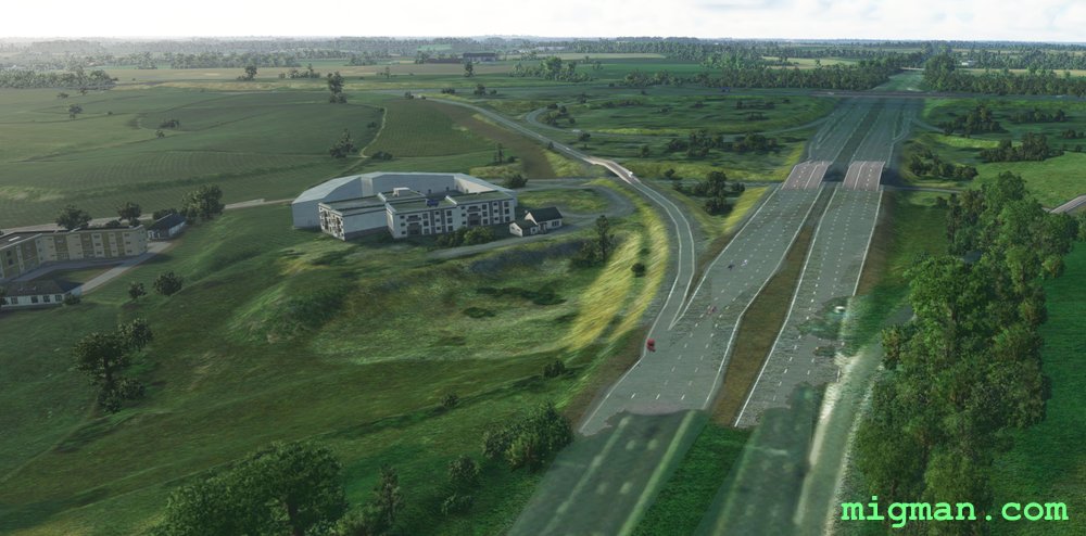 WP 7 - Take left exit
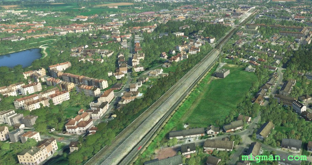
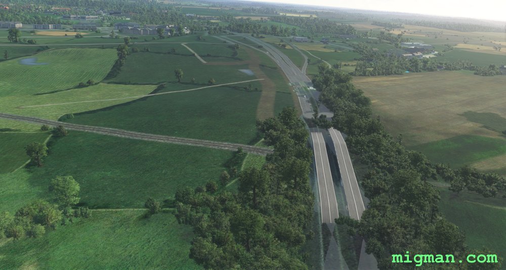 WP 8 - Left 90 deg, follow the rail line over the Battle of Waterloo site
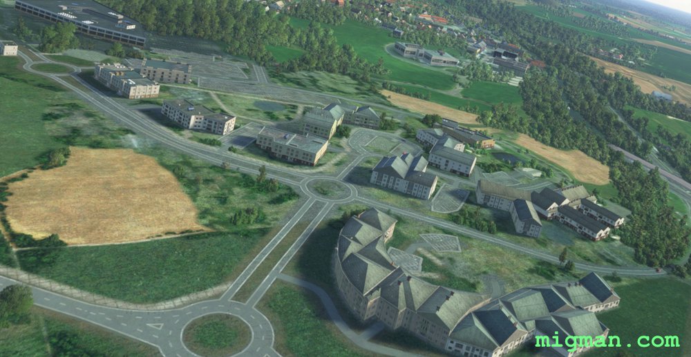
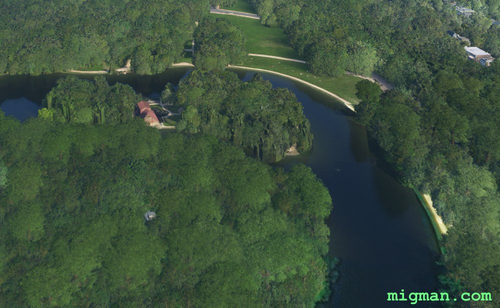 WP 9 - Le Chalet Robinson