British Virgin Islands
British Virgin Islands
Take off from Terrance B. Lettsome ap, 4 m NE of the capital Road Town. There are lots of bays, beaches and resorts to explore on this trip. I have set the waypoints to the most obvious points in the landscape but have fun and explore! The British Virgin Islands has some of the highest terrain in the Carribean, with Sage Mountain National Park exceeding 2,000 ft.
- Country: British Virgin Islands
- Locale: Road Town
- Route: Terrance B. Lettsome (TUPJ) to Terrance B. Lettsome (TUPJ)
- Distance: 51 nm
- File name: british-virgin-islands-TUPJ-to-TUPJ-VFR-road-town-220331
Waypoints
- WP 1 - Virgin Gorda Island NW tip | Leverick Bay Resort and marina
- WP 2 - Virgin Gorda Island NE tip | Follow the south coast to WP 3
- WP 3 - Virgin Gorda Airport at Spanish Town
- WP 4 - Markoe Point at S tip of Cooper Island
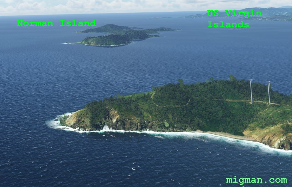
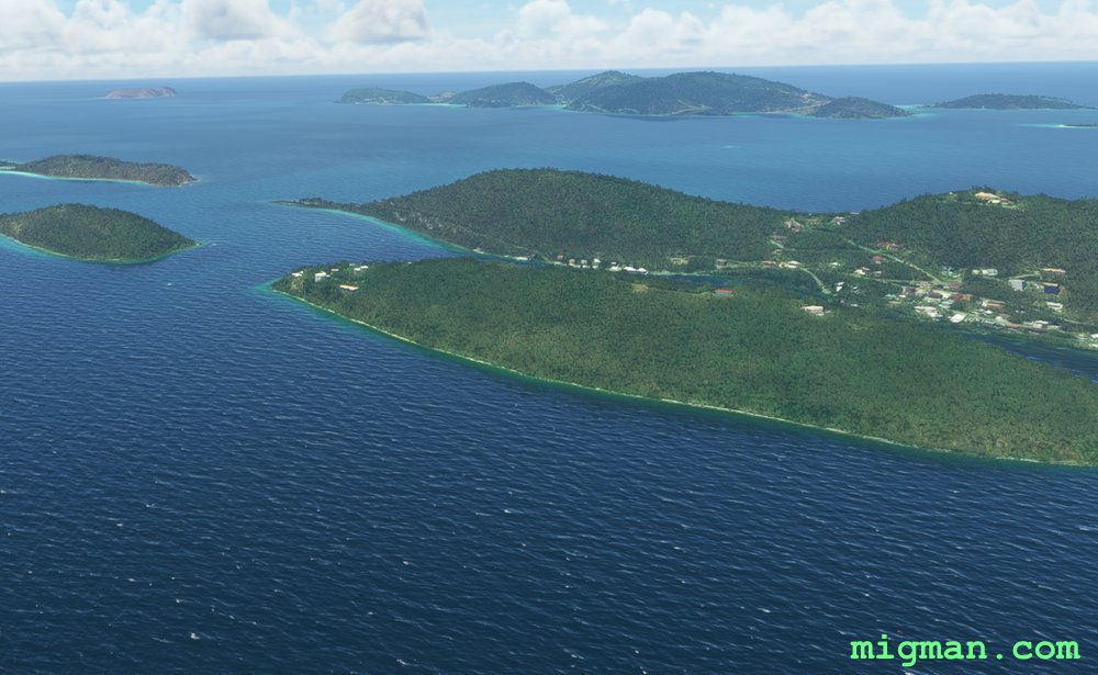
- WP 5 - S tip of Norman Island | Pass close by US Virgin Islands
- WP 6 - W tip of Frenchman's Cay | Follow the coast NE
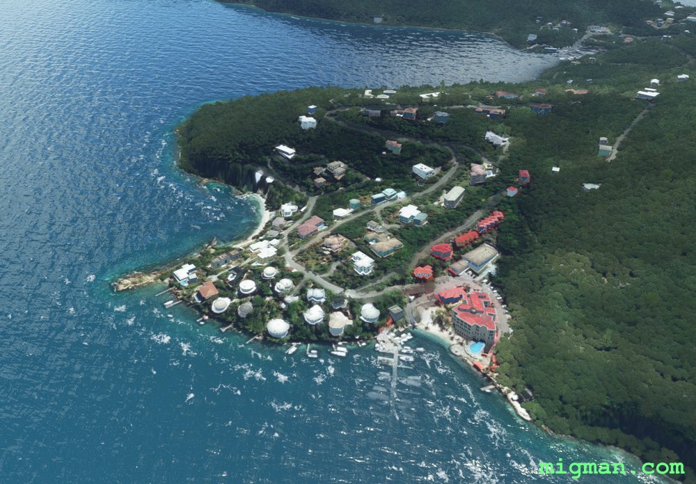
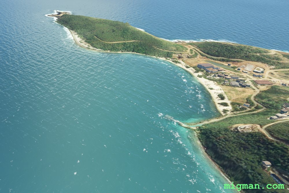
WP 1 - Virgin Gorda Island NW tip
WP 1 - Virgin Gorda Island NW tip

Leverick Bay Resort and marina
WP 2 - Virgin Gorda Island NE tip | Follow the south coast to WP 3
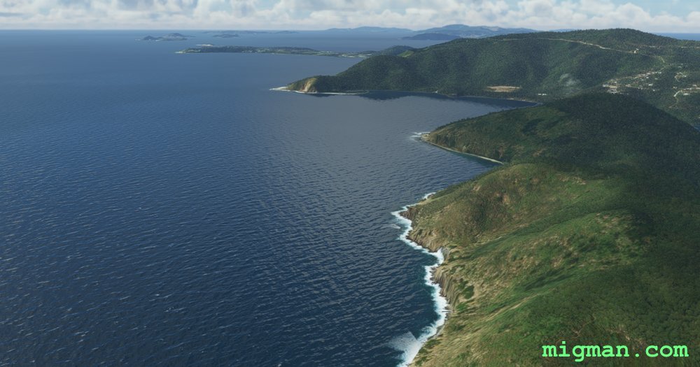
Heading W along the S coast of Virgin Gorda Island
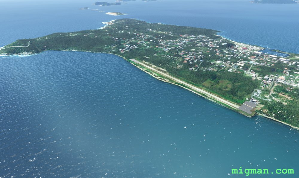
WP 3 - Virgin Gorda Airport at Spanish Town
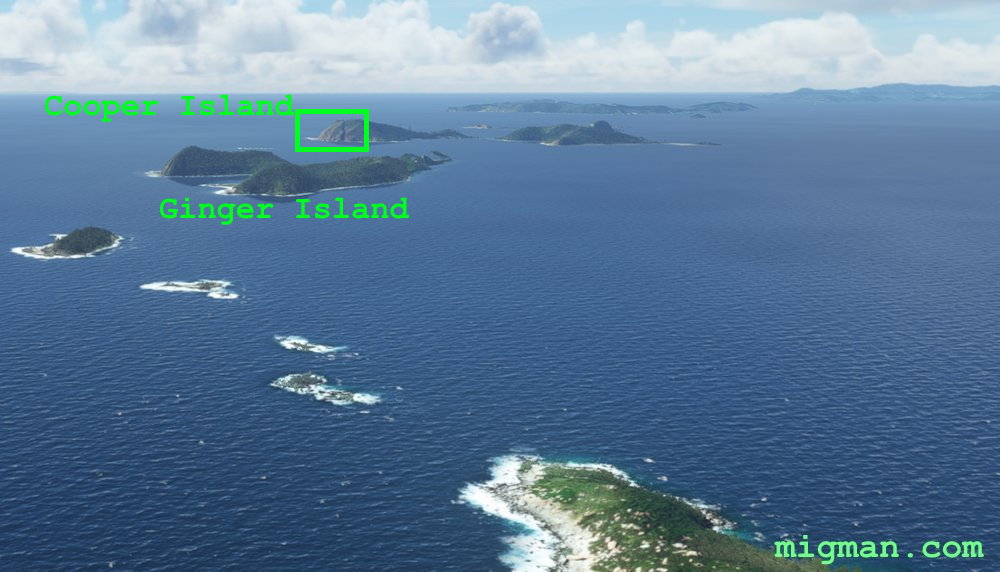
WP 4 - Markoe Point at S tip of Cooper Island
WP 4 - Markoe Point at S tip of Cooper Island
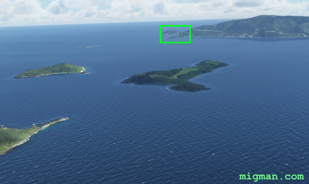
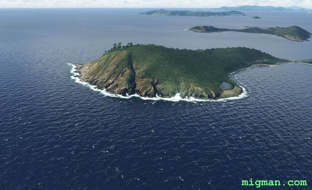
WP 5 - S tip of Norman Island
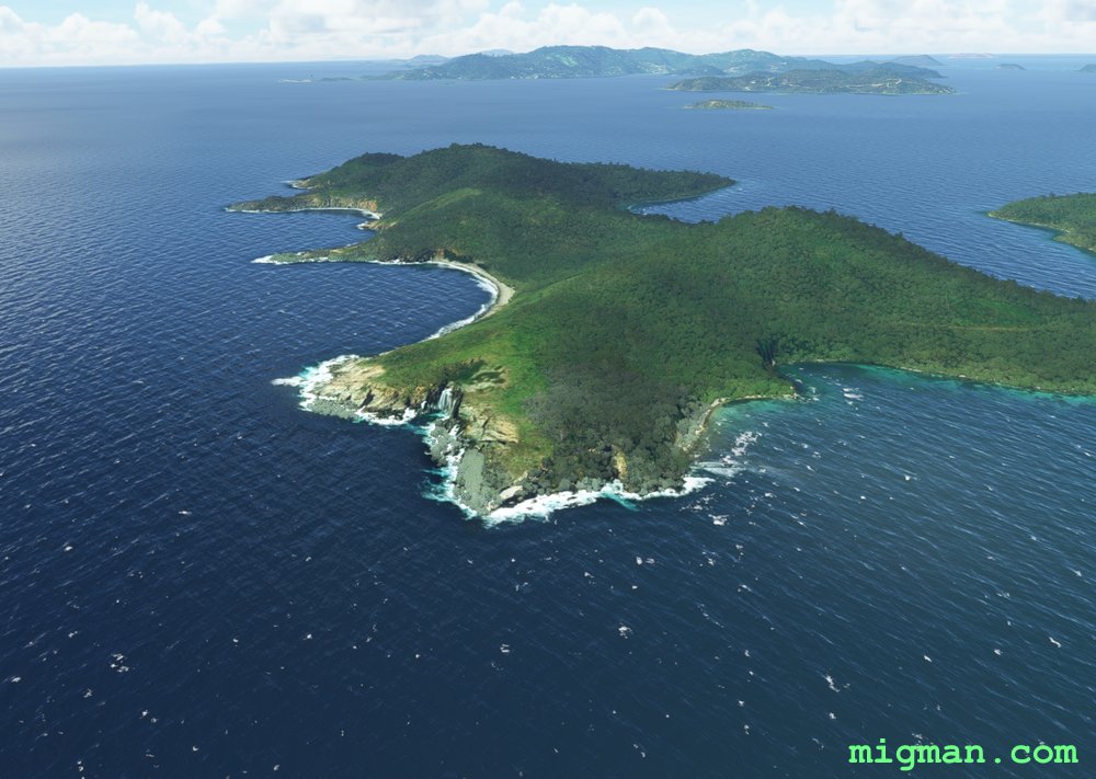
WP 5 - S tip of Norman Island
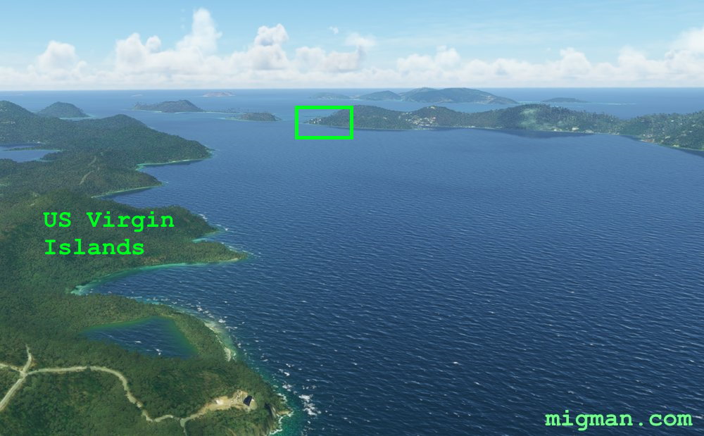
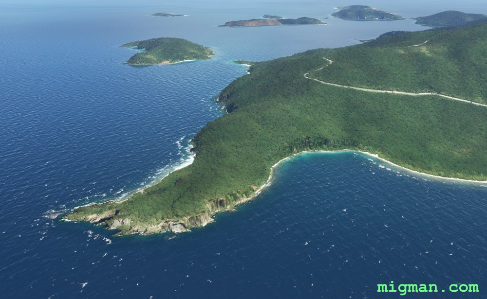
Pass close by US Virgin Islands to WP 6 - W tip of Frenchman's Cay | Follow the coast NE
WP 6 - W tip of Frenchman's Cay
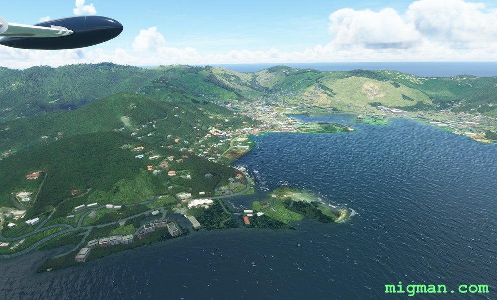
Passing Road Town to the left
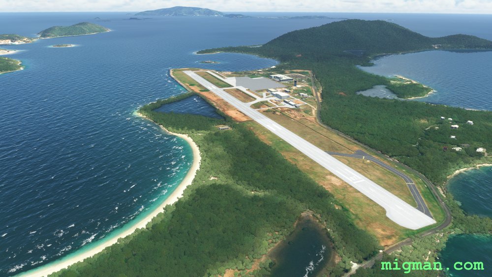
Terrance B. Lettsome (TUPJ)