Cuba
Pinar del Rio Bush Strip Tour
La Coloma MULM is the longest airfield in this area. This fertile region hosts a bevy of agricultural airstrips. Take a light aircraft, check out the farms and do touch and go's at the strips.
NOTAM: The large lake Embalse el Punto (2 miles EW, 3 miles NS) is about 2 miles from the threshold of RWY 25 at La Coloma.
Return trips:
- 11 nm - Pinar del Rio at WP 9
- 14 nm - La Coloma Port at WP 1
- 27 nm - WP 1,2
- 75 nm - Entire route
- Country: Cuba
- Locale: Pinar del Rio
- Route: La Coloma MULM to La Coloma MULM
- Distance: 11, 14, 27, 75 nm
- File name: cuba-MULM-to-MULM-VFR-pinar-del-rio-220626
Waypoints
- WP 1 - Town: La Coloma Port
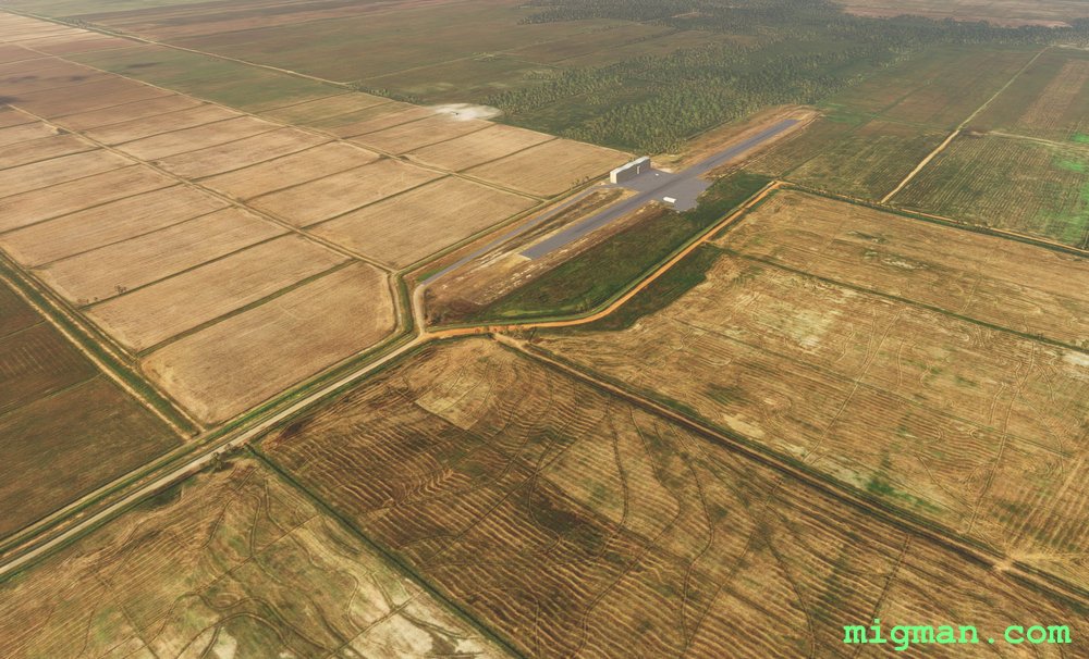
- WP 2 - Las Cruces Airport MUDA, 2,619 ft
- WP 3 - El Caribe Airport MUBE 1,945 ft
- WP 4 - Los Zagales Airport MULJ 2,871 ft
- WP 5 - La Cubana Airport MULL 3,238 ft
- WP 6 - La Francia Airfield MULS 3,068 ft
- WP 7 - La Asuncion Airport MULO 2,562 ft
- WP 8 - Caserio La Jocuma North Airport MUCX 2,935 ft
- WP 9 - Pinar Del Rio Airport MUPR 3,671 ft
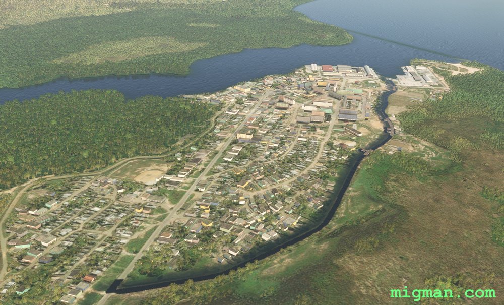 WP 1 - Town: La Coloma Port
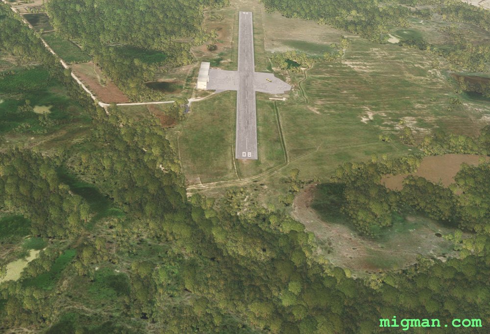 WP 2 - Las Cruces Airport MUDA, 2,619 ft
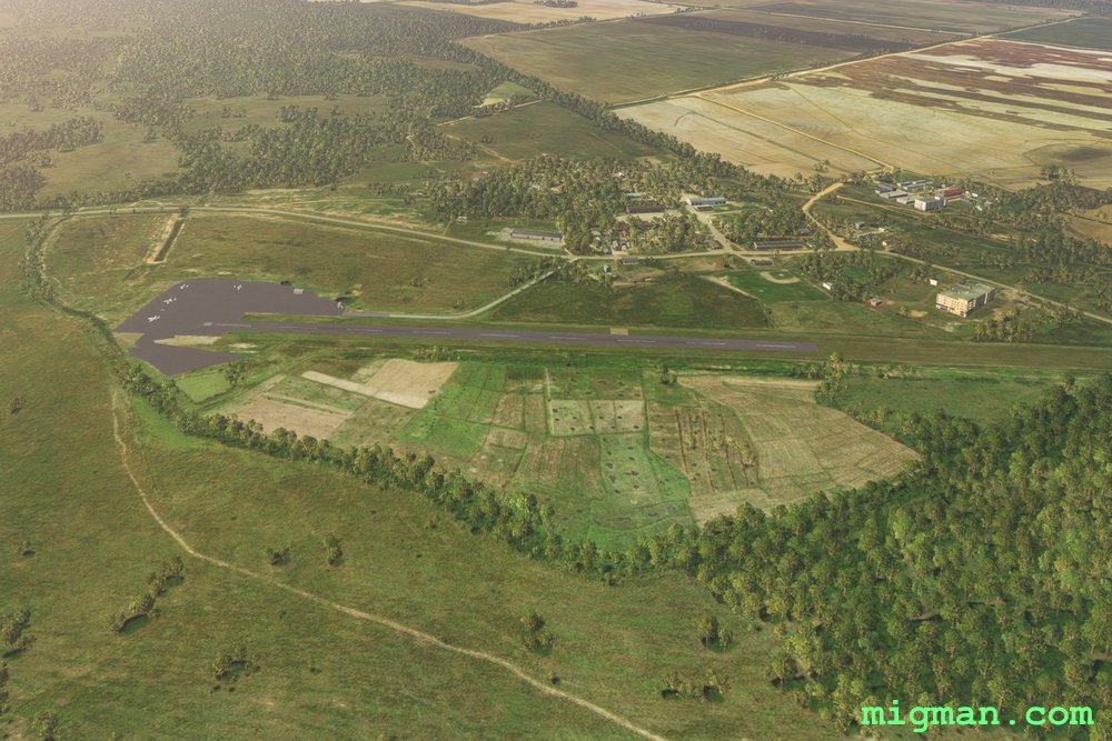 WP 3 - El Caribe Airport MUBE 1,945 ftWP 4 - Los Zagales Airport MULJ 2,871 ft
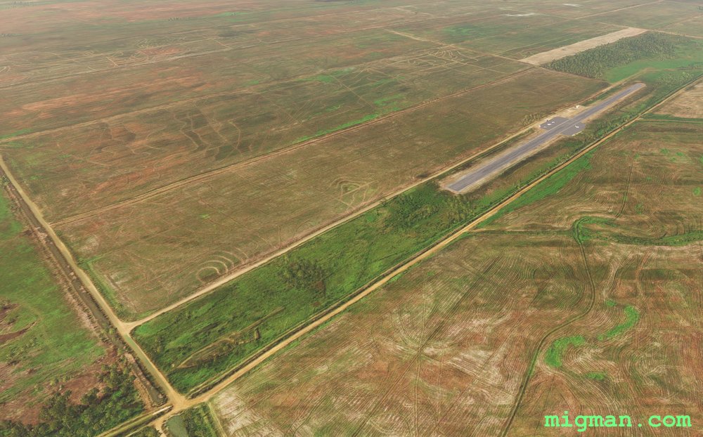 WP 5 - La Cubana Airport MULL 3,238 ft
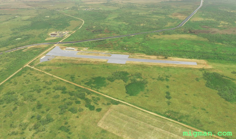 WP 6 - La Francia Airfield MULS 3,068 ft
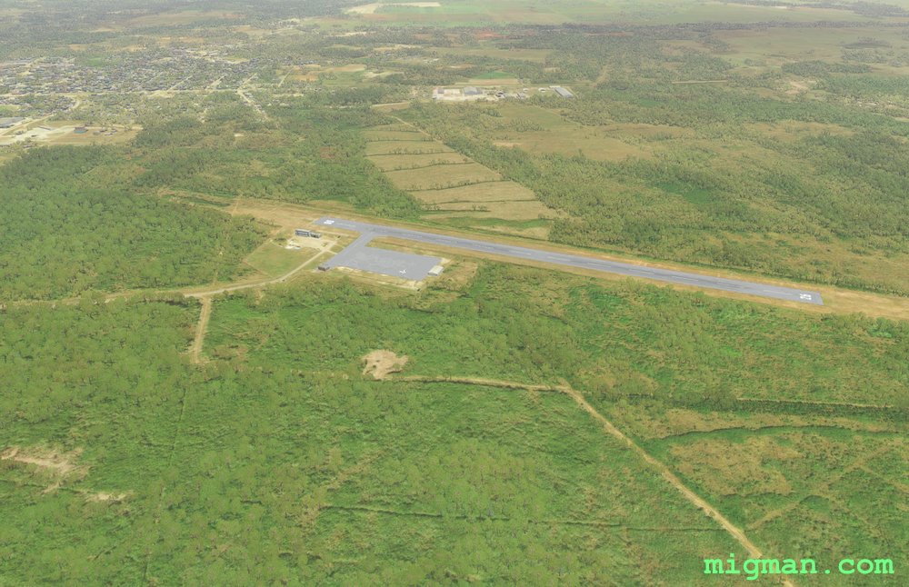 WP 7 - La Asuncion Airport MULO 2,562 ft
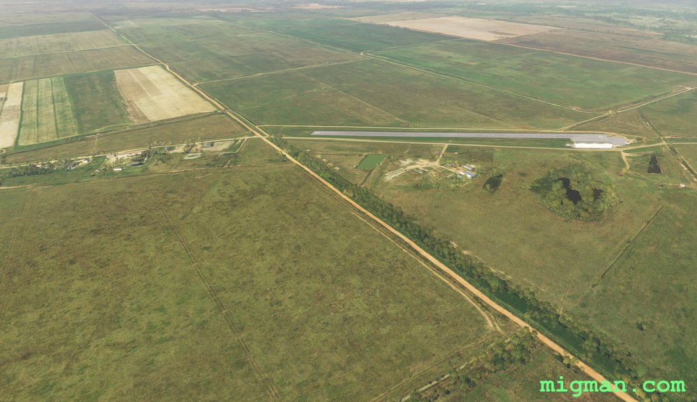 WP 8 - Caserio La Jocuma North Airport MUCX 2,935 ft
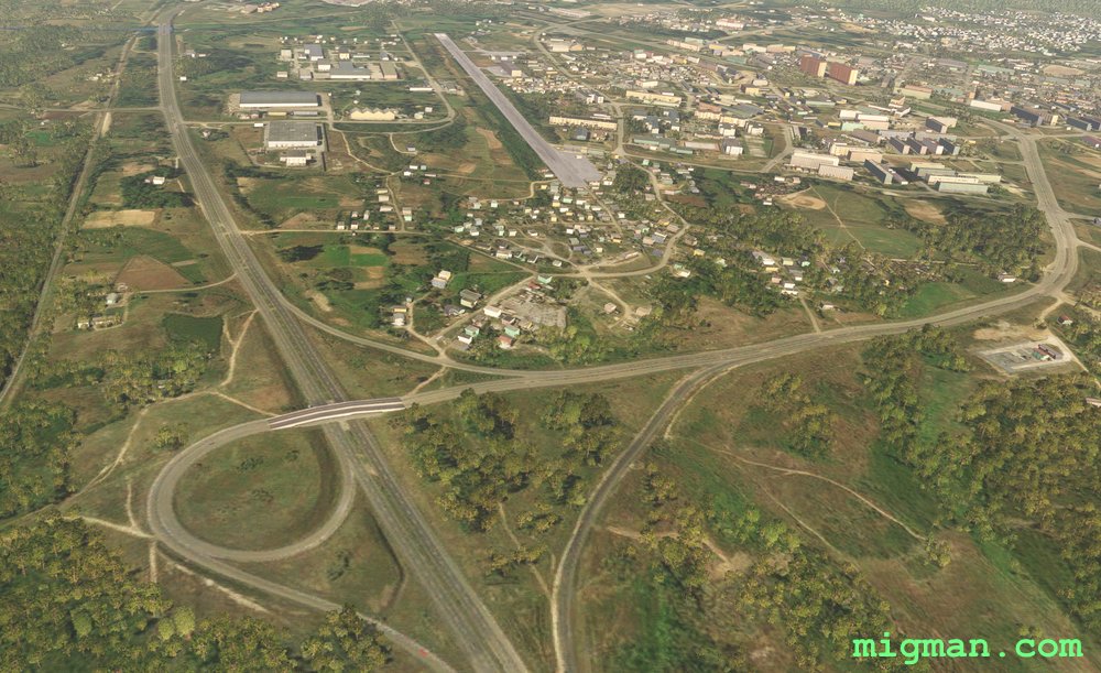 WP 9 - Pinar Del Rio Airport MUPR 3,671 ft
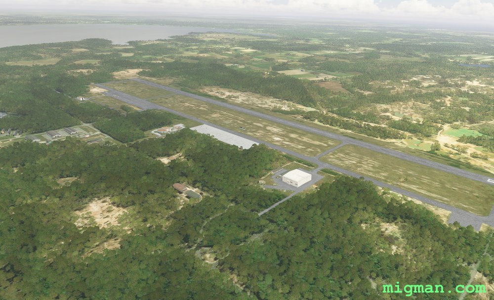 La Coloma MULM