Iran
Bandar Abbas, on the Knife Edge
Fly out of Bandar Abbas on the northern shore of the Strait of Hormuz. Enjoy the spectacular knife edge ridges north of the city.
For a short flight along the Bandar Abbas shoreline fly to WP 1.
20 nm: WP 1 | 104 nm: Entire route
NOTAM: Plan for the high altitude. You have 10 nm after WP 1 to climb to 8000 ft.
- Country: Iran
- Locale: Bandar Abbas
- Route: Bandar Abbas OIKB to Bandar Abbas OIKB
- Distance: 20 / 104 nm
- File name: iran-OIKB-to-OIKB-VFR-bandar-abbas-220611
Waypoints
- WP 1 - Harbour
- WP 2 - Heliport ~ 8000 ft elev.
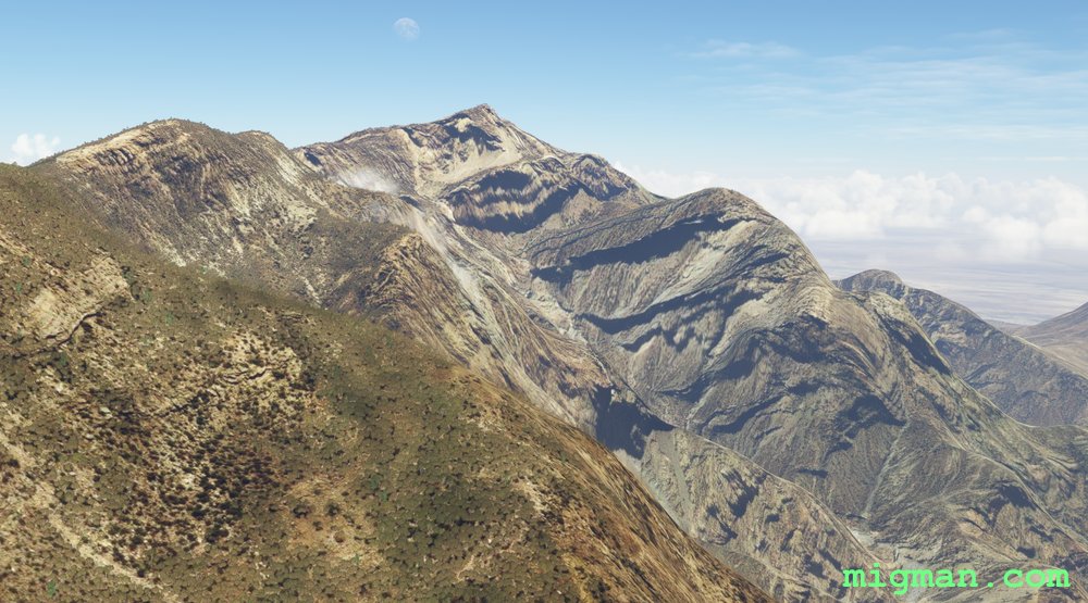
- WP 3 - Ridge line ~ 5000 ft | Climbs to ~ 6000 ft | Follow the ridges
- WP 4 - End of ridge
- WP 5 - Peak: Kuh-e Poshtkuh, 7800 ft | Follow the ridge
- WP 6 - Dam
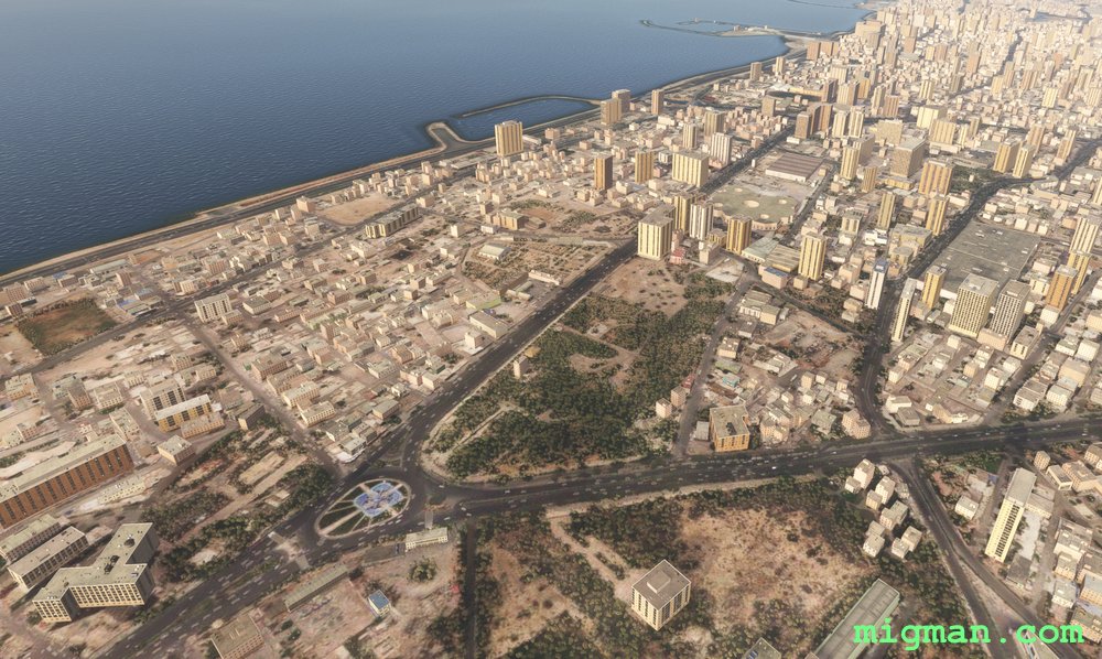 Bandar Abbas
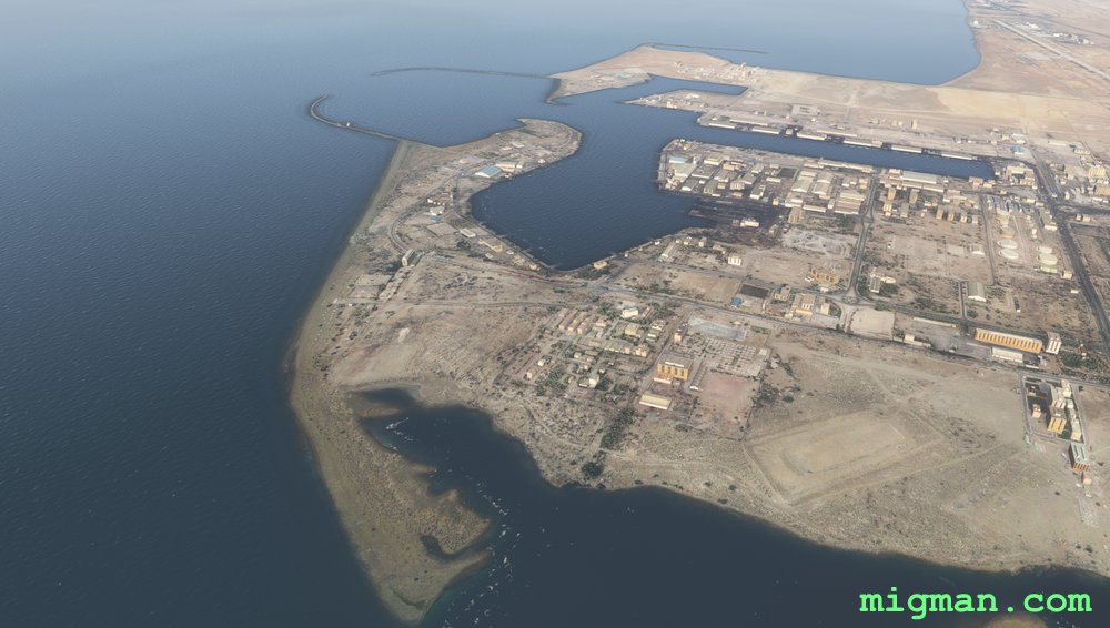 WP 1 - Harbour
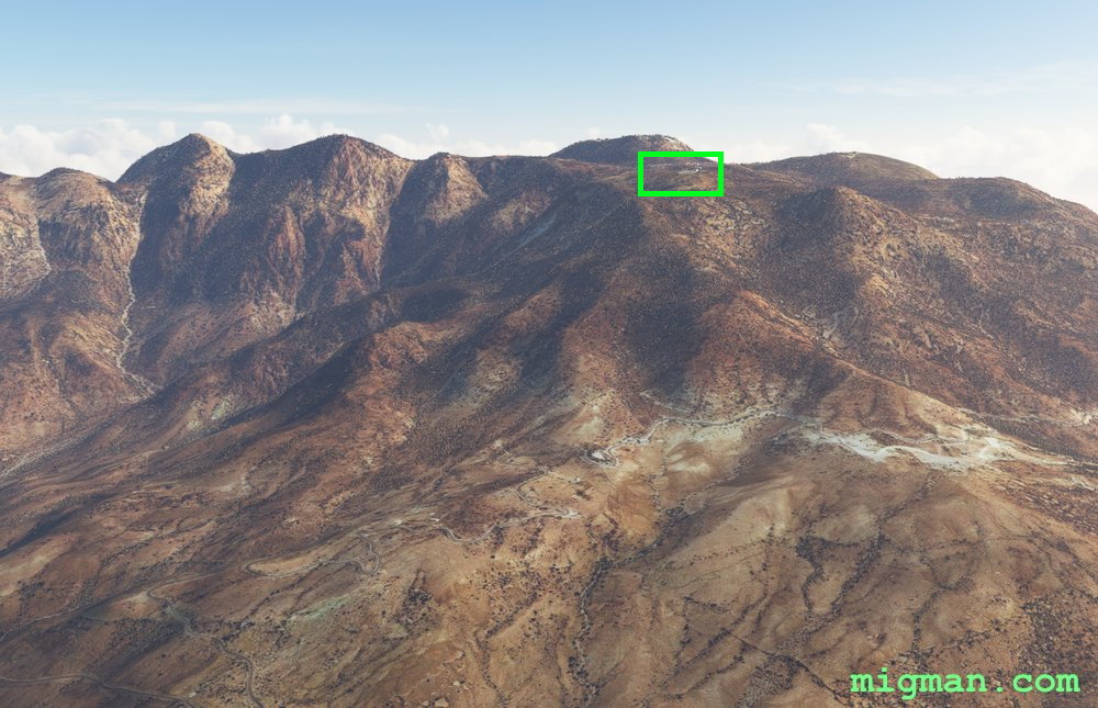 WP 2 - Heliport ~ 8000 ft elev.
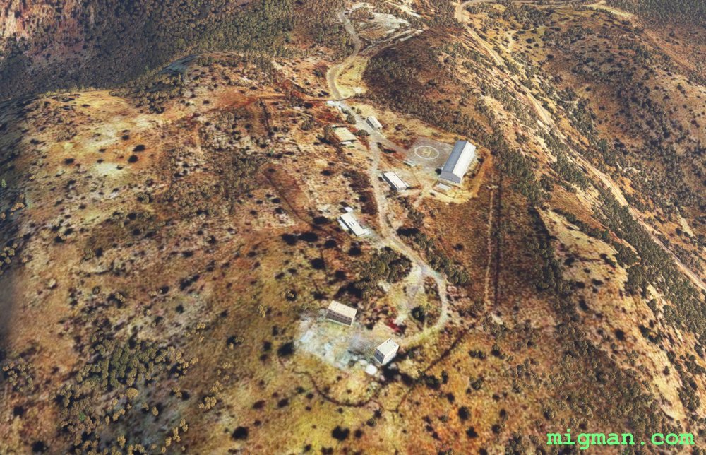 WP 2 - Heliport ~ 8000 ft elev.
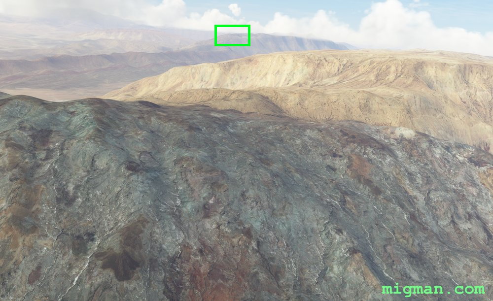 WP 3 - Ridge line ~ 5000 ft | Climbs to ~ 6000 ft | Follow the ridges
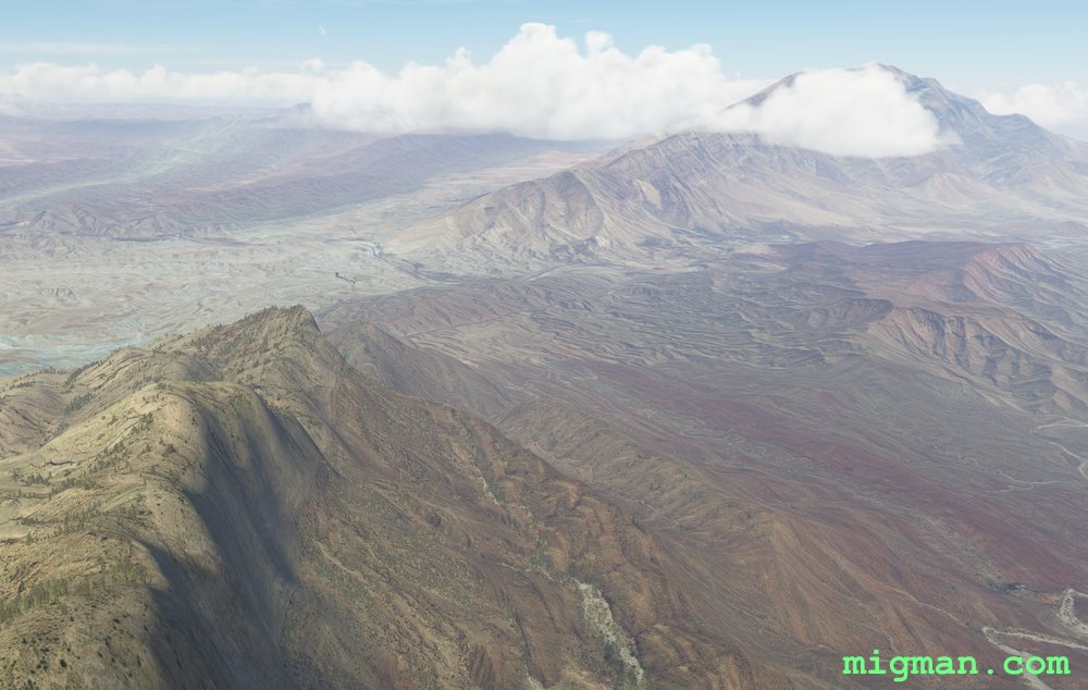 WP 4 - End of ridgeWP 5 - Peak: Kuh-e Poshtkuh, 7800 ft | Follow the ridge
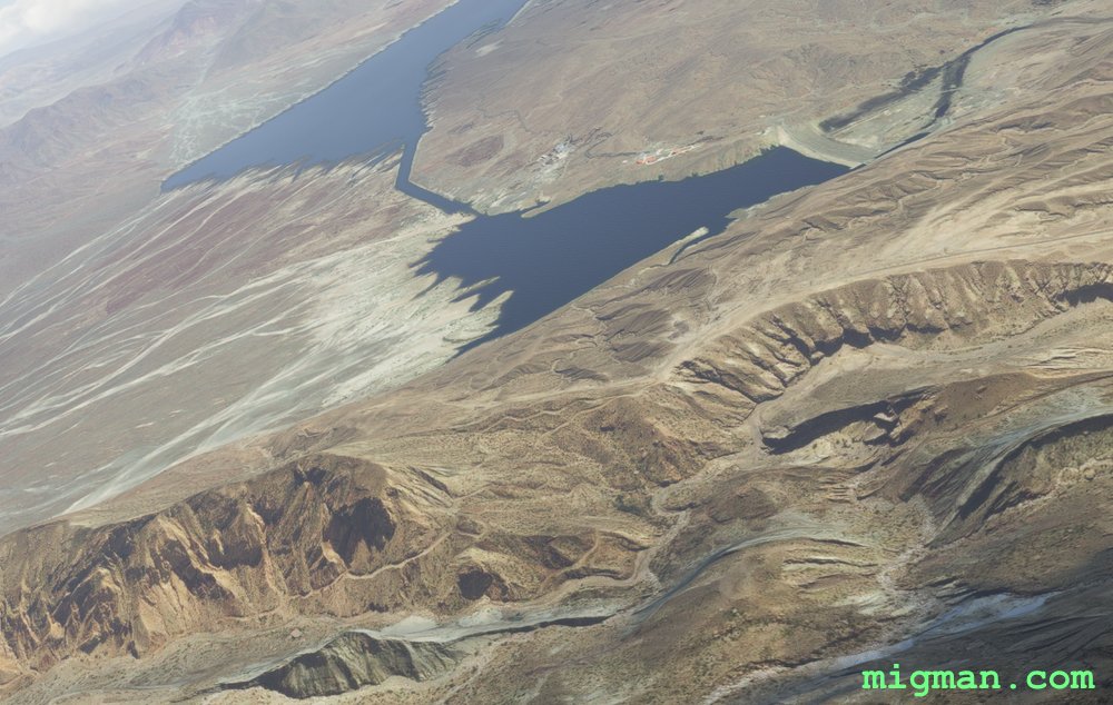 WP 6 - Dam
 WP 6 - Dam
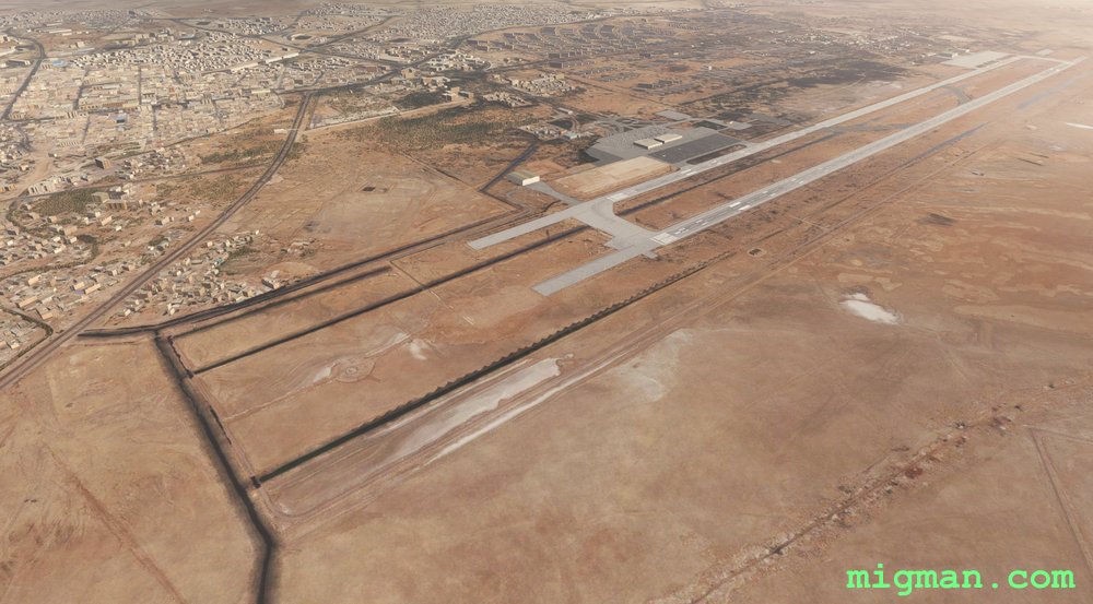 Bandar Abbas OIKB