Japan
Rings around Fuji
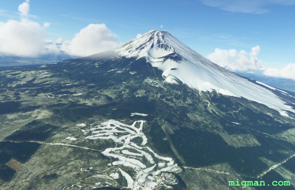
Located about 55nm WSW of Tokyo, Mt. Fuji is the highest mountain in Japan at 3,776 m (12,389.2 ft). It is surrounded on the N and W by a continuous ridge. Follow that to see both the mountainous interior to your right and rural Japan around the base of Fuji on your left. Finally fly to the summit of this still-active volcano!
NOTAMS. Gotemba airport has a short runway at 2202 ft.
- Country: Japan
- Locale: Gotemba
- Route: Gotemba (RJGO) to Gotemba (RJGO)
- Distance: 79 nm
- File name: japan-RJGO-to-RJGO-VFR-gotemba-220201
Waypoints
- WP 1 - Fuji Speedway
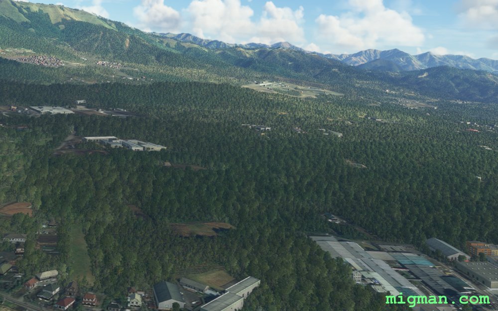
- WP 2 - Mt. Kurodake, past Lake Yamanaka and Lake Kawaguchi | Follow the ridge to WP 3
- WP 3 - Lake Motosu | Follow the ridge)
- WP 4 - Fuji River | Follow the river
- WP 5 - Mouth of the Fuji River
- WP 6 - Mt. Ihaiga
- WP 7 - Mt. Fuji
 WP 1 - Fuji Speedway
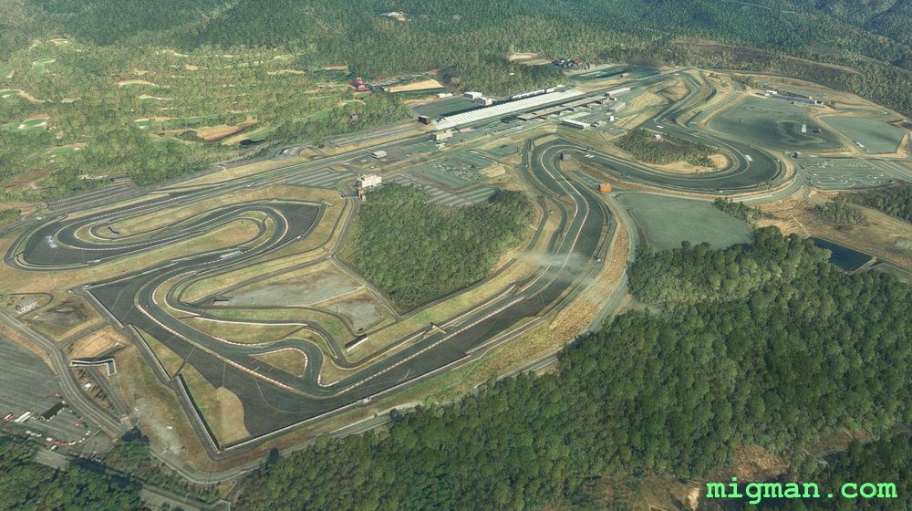 WP 1 - Fuji Speedway
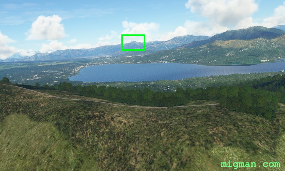 WP 2 - Mt. Kurodake, past Lake Yamanaka and Lake Kawaguchi
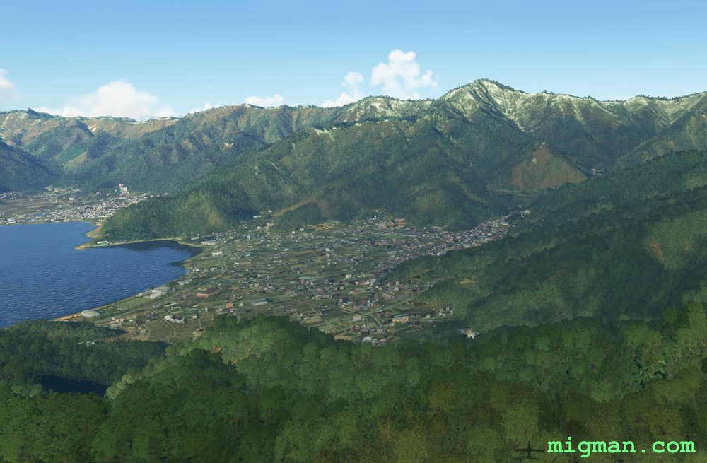 Lake Kawaguchi
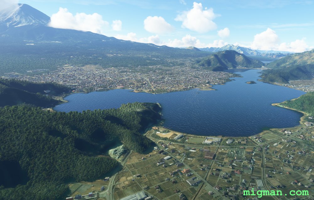 Looking SSW over Lake Kawaguchi
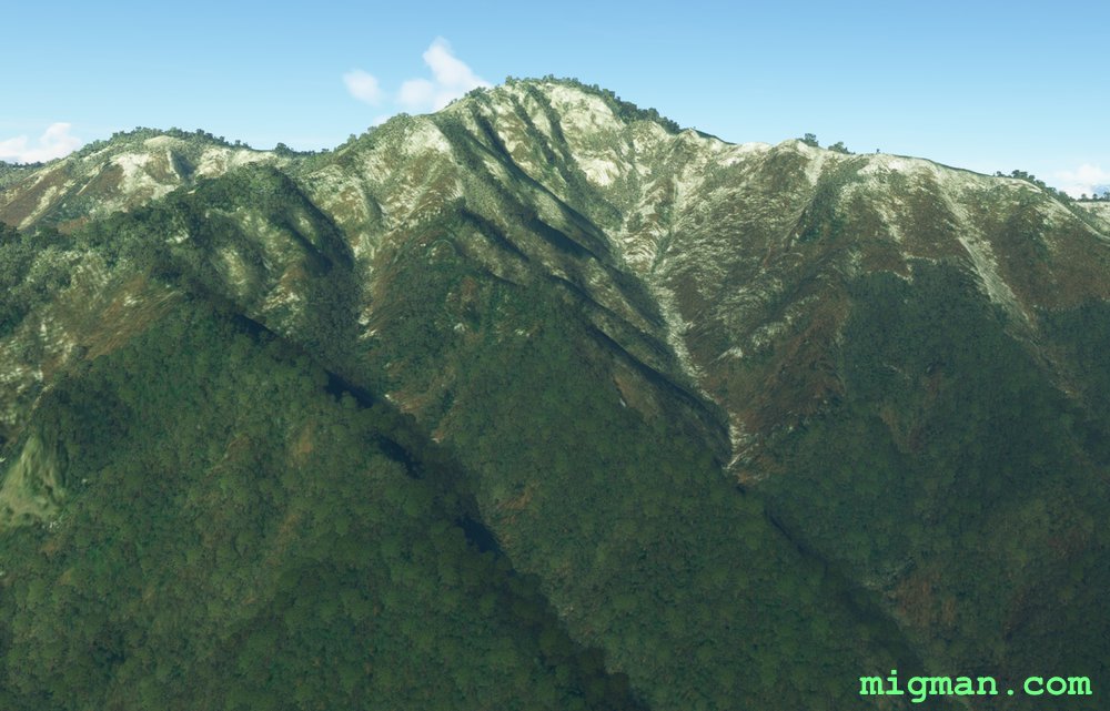 WP 2 - Mt. Kurodake
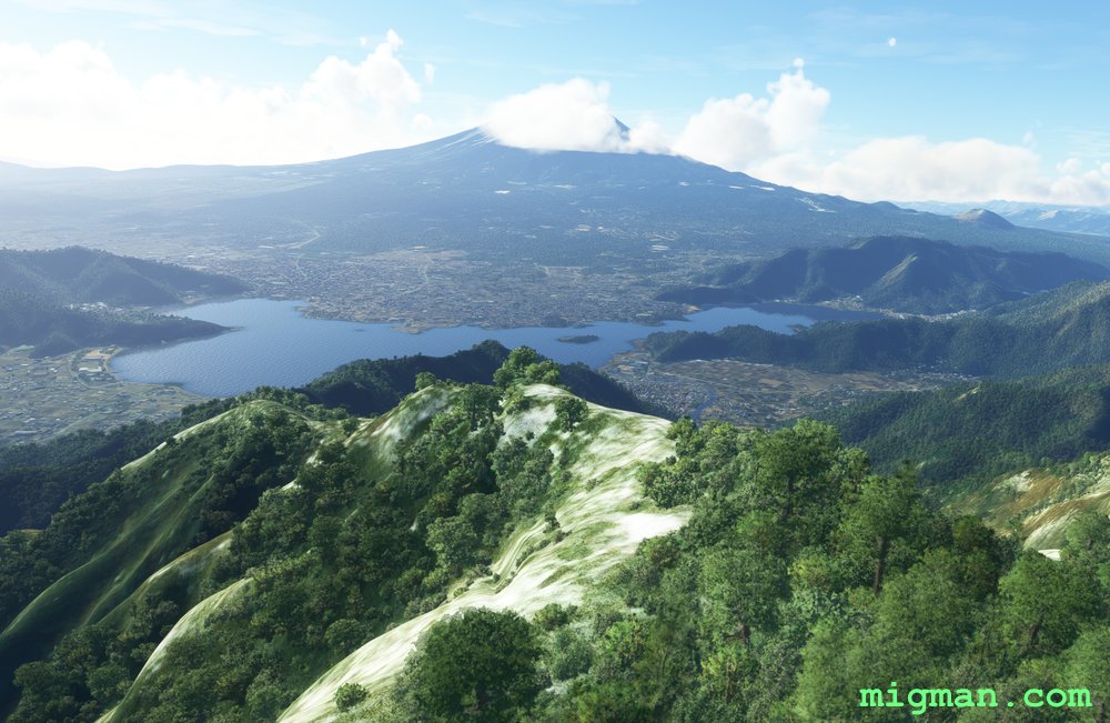 Looking S over Lake Kawaguchi from Mt. Kurodake
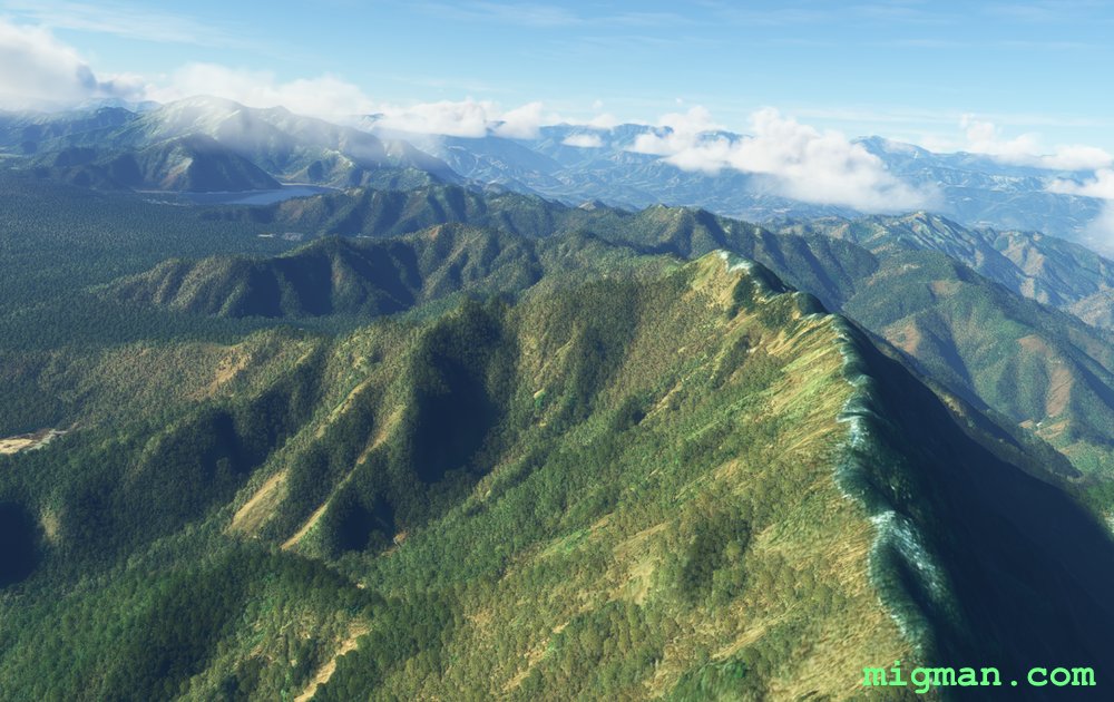 Follow the ridge to WP 3
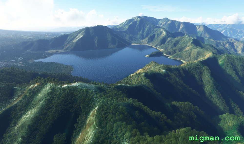 WP 3 - Lake Motosu
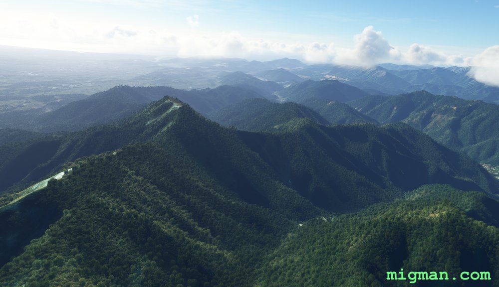 Follow the ridge
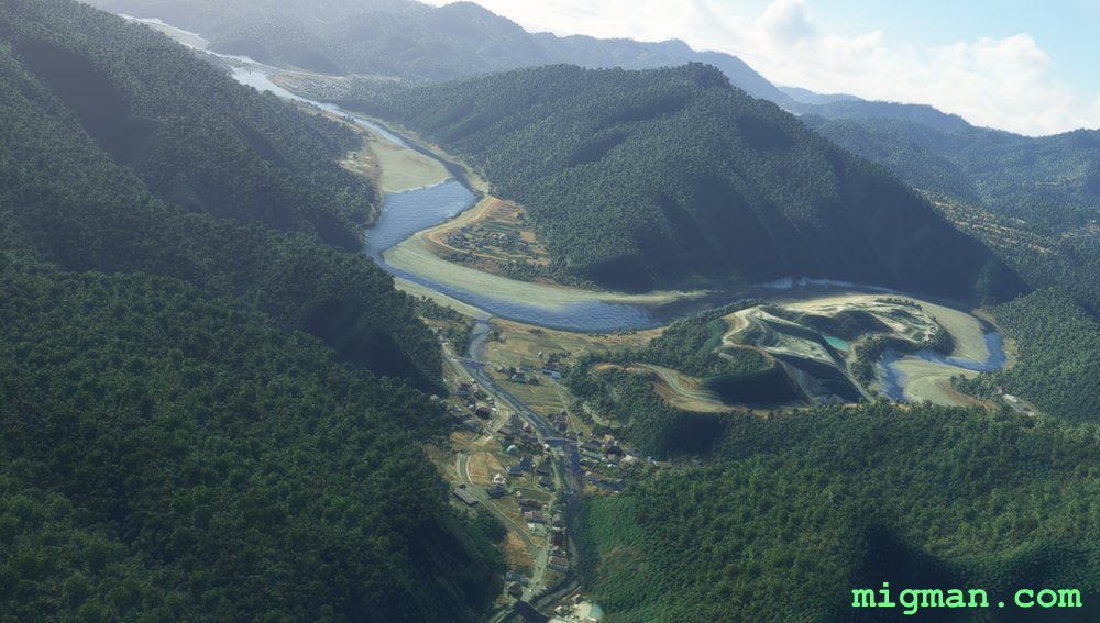 WP 4 - Fuji River | Follow the river
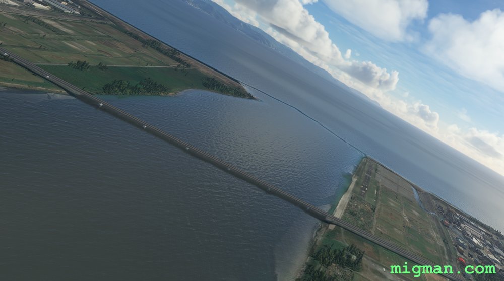 WP 5 - Mouth of the Fuji River
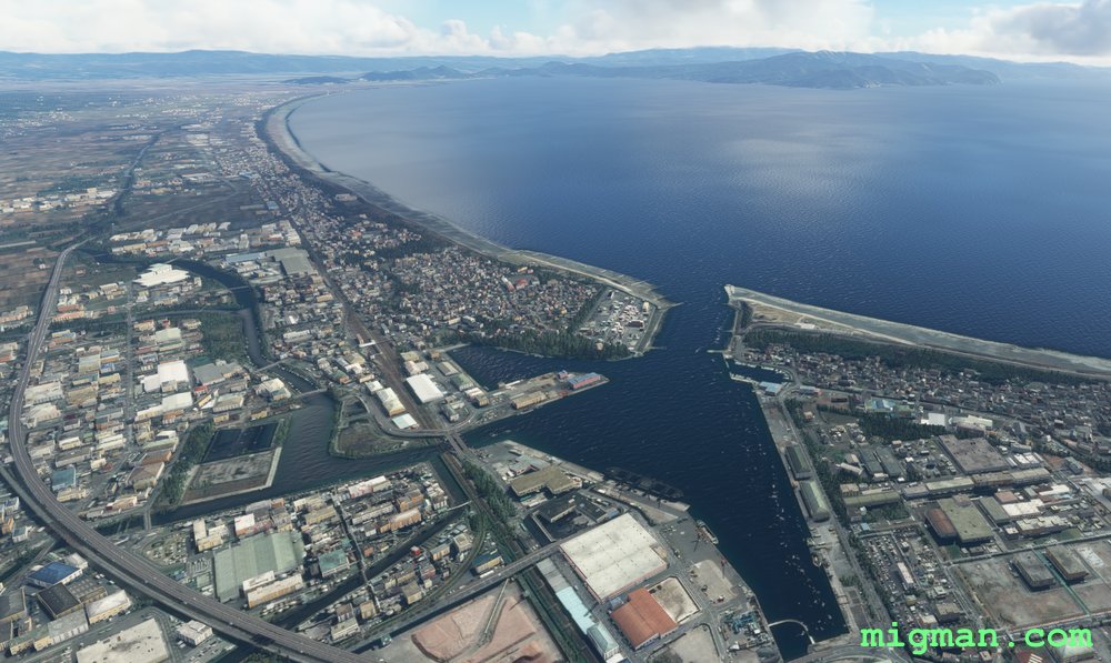 Fuji Harbour
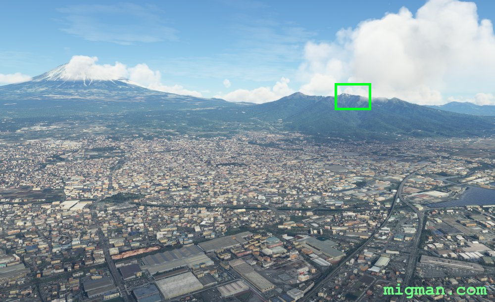 WP 6 - Mt. Ihaiga
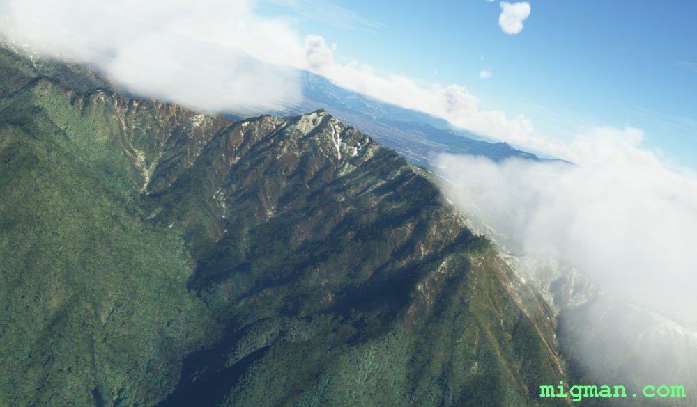 WP 6 - Mt. Ihaiga
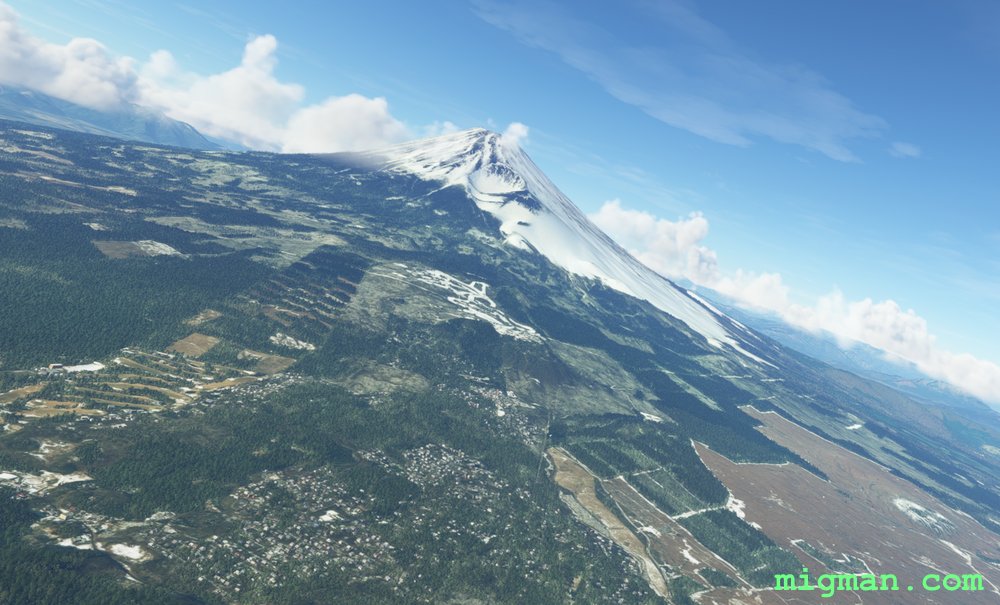 WP 7 - Mt. FujiWP 7 - Mt. Fuji
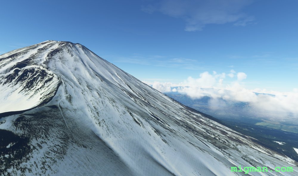 Mt. Fuji
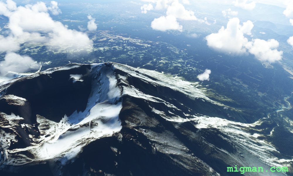 Mt. Fuji looking S
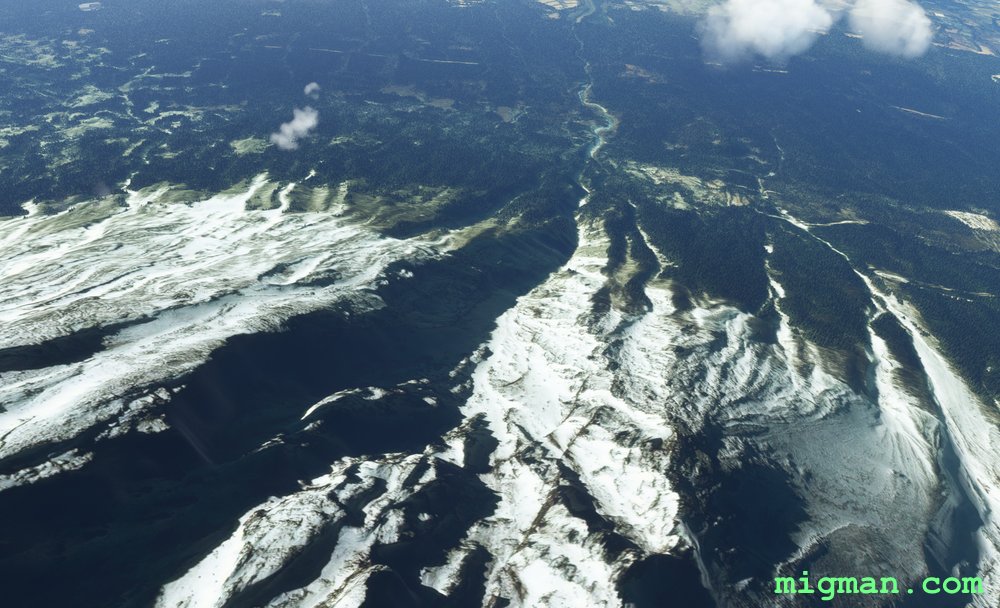 Mt. Fuji: Osawa scree on the western face
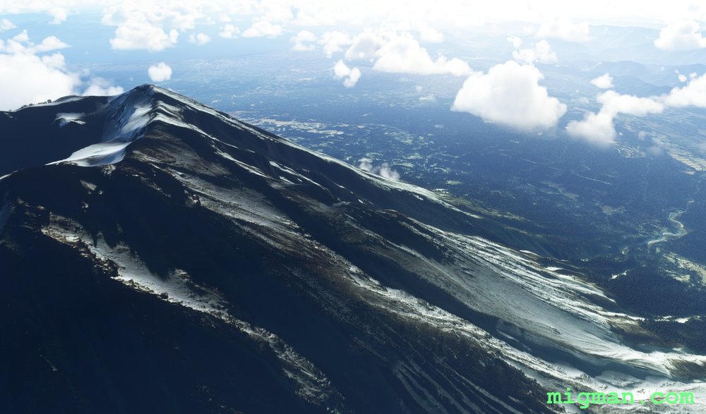 Mt. Fuji
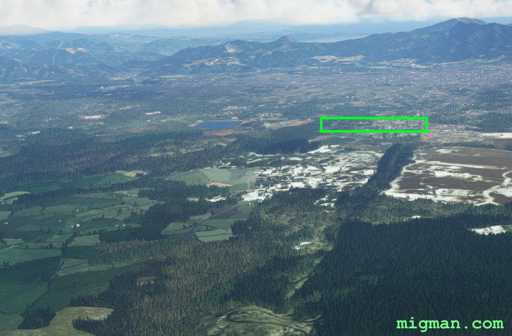 Gotemba (RJGO)
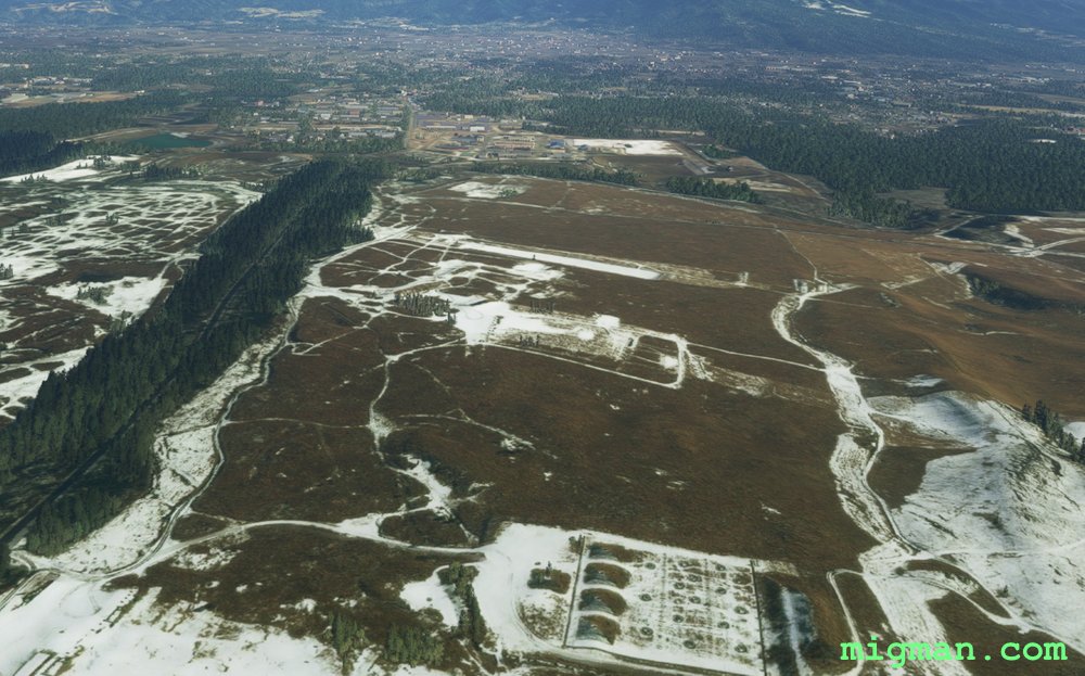 Gotemba (RJGO)
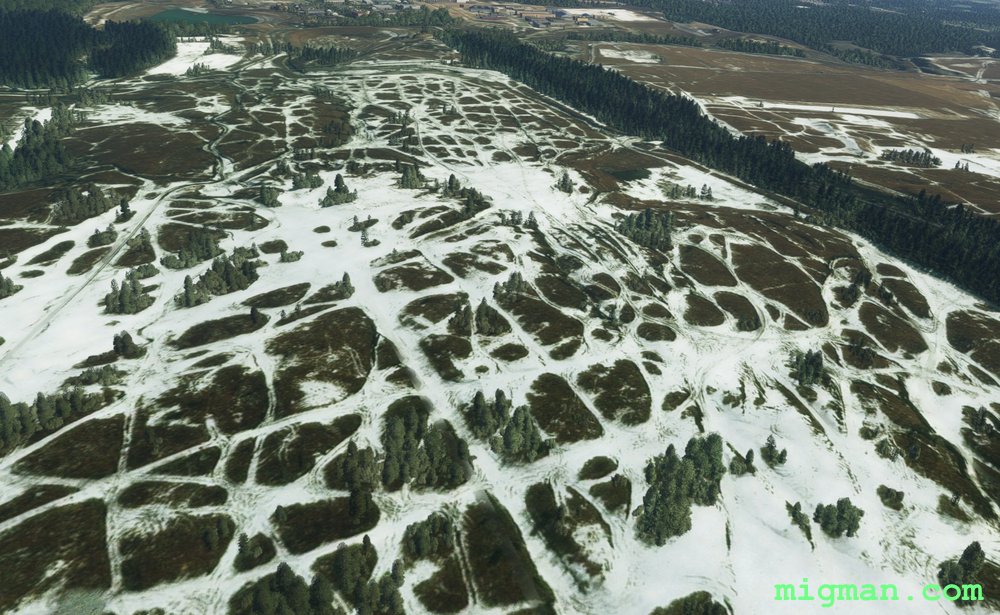
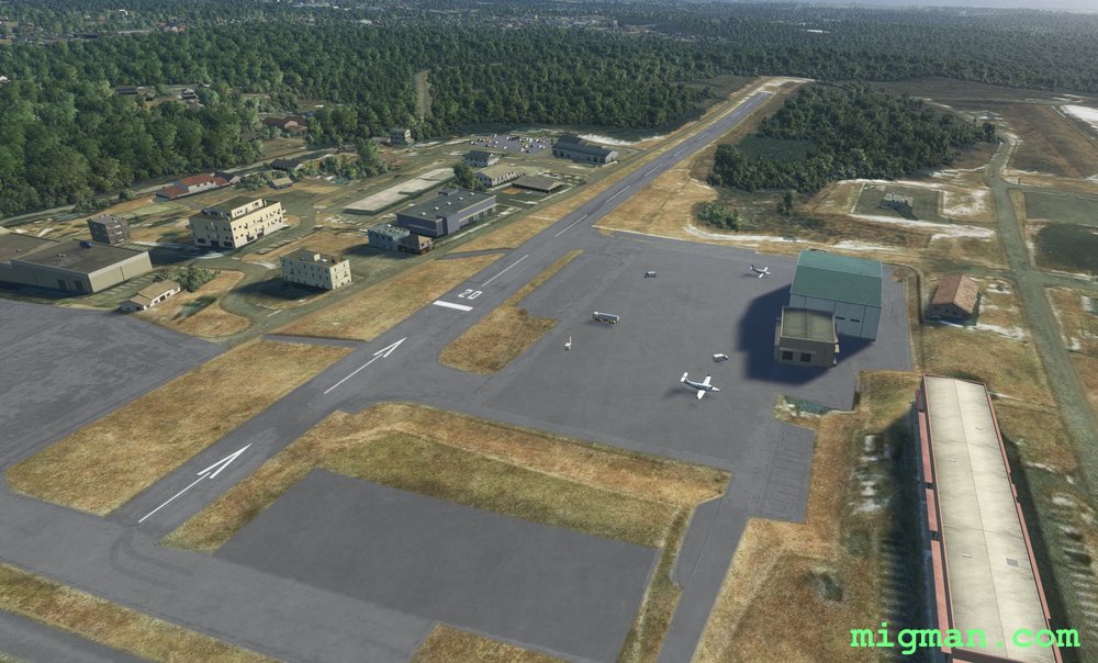 Gotemba (RJGO)