Montenegro
Podgorica Valley Run
Take off from the capital of Montenegro and explore the mountains to the NE.
-/o\- CLASSIFIED: FOR YOUR EYES ONLY: You will enter Albanian airspace at WP 4. Fly at low altitude down the valley to WP 7 and take as many photos as possible, particularly looking for air defence facilities. If you are intercepted by the Albanian air force, just pretend you got lost! -/o\-
- Country: Montenegro
- Locale: Podgorica
- Route: Podgorica (LYPG) to Podgorica (LYPG)
- Distance: 57 nm
- File name: montenegro-LYPG-to-LYPG-VFR-podgorica-211105
Waypoints
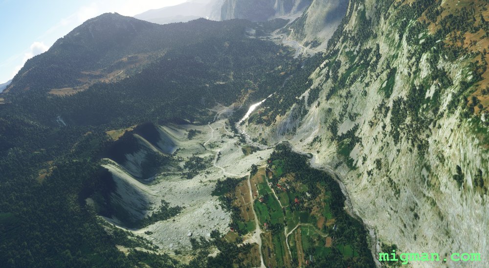
- WP 1 - Hill | Turn right into the valley for 9 nm
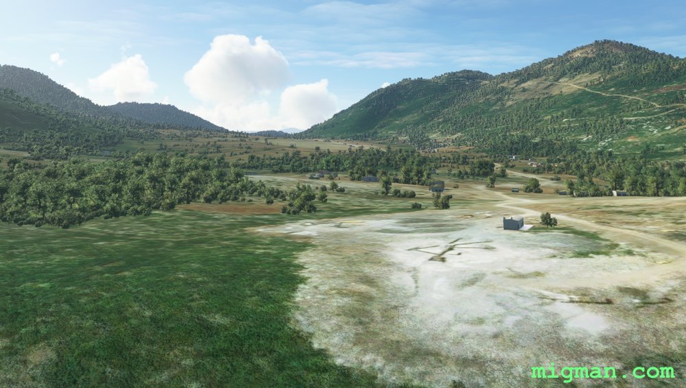
- WP 3 - Climb out | Meadows
- WP 3 - Valley
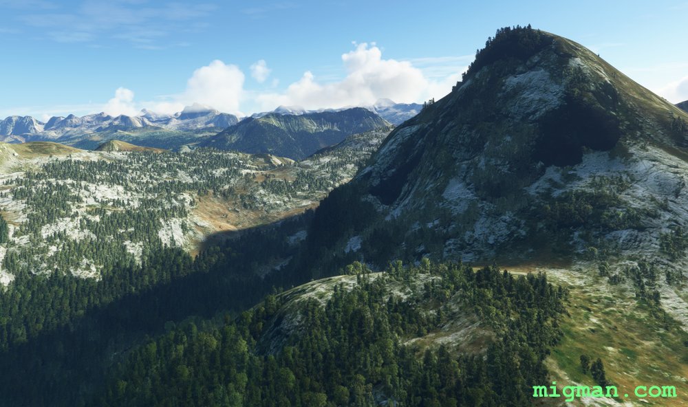
- WP 4 - Cross valley, lake | Keep left of Mt. Vila, 6,991 ft
- WP 5 - Valley | HDG 240 for 9 nm
- WP 6 - Plateau | 3,000 ft
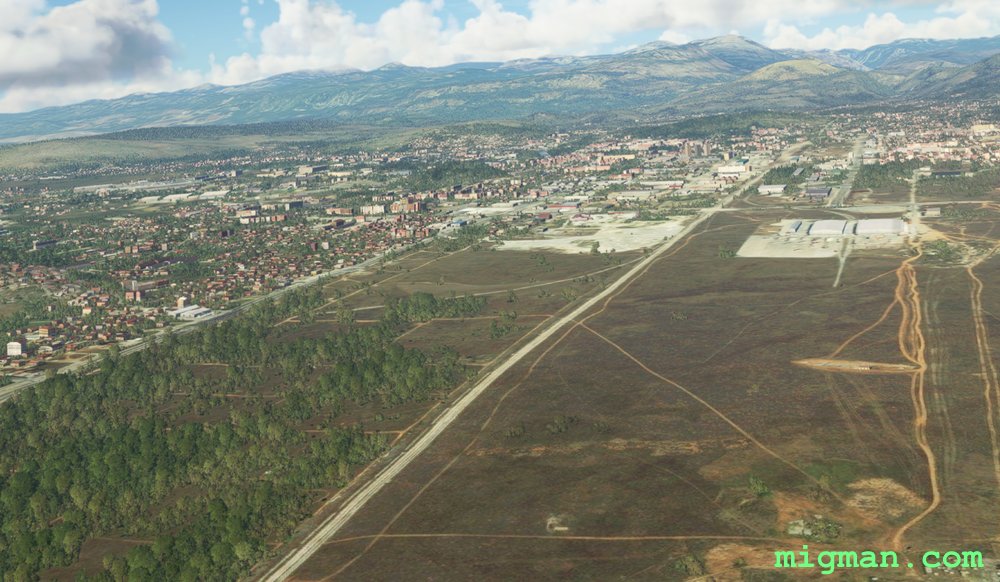
- WP 7 - Hill 708 ft | Turn right to airport
 Heading north over Podogorica.
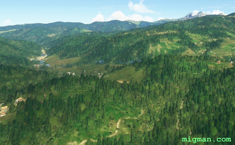
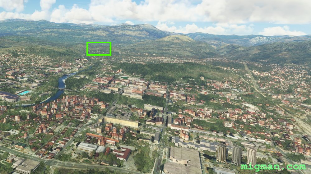 WP 1 - Hill | Turn right into the valley for 9 nm
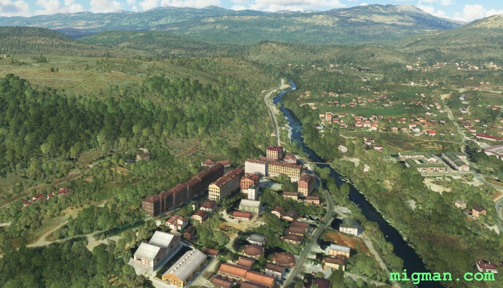
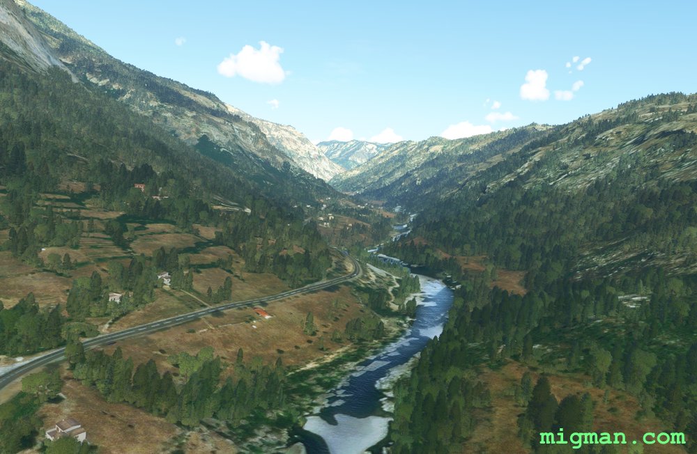 Into the valley
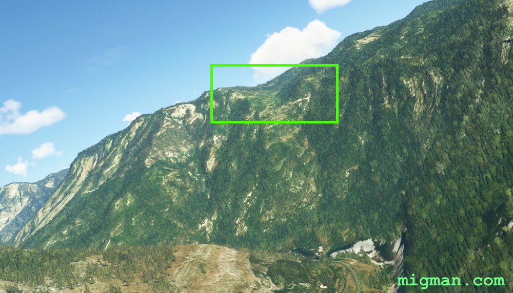 Just as the valley takes a hard left turn, climb out to WP 3 - Meadows
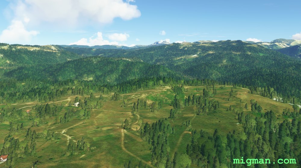
 WP 3 - Valley
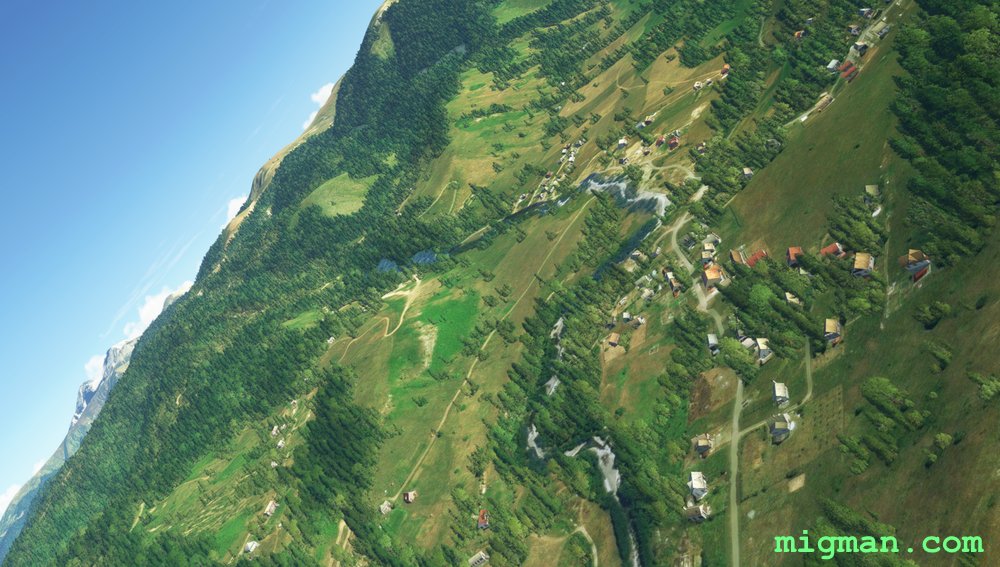
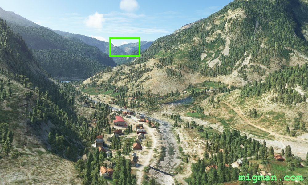
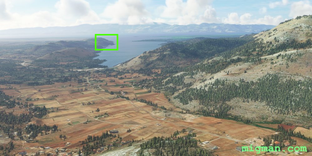
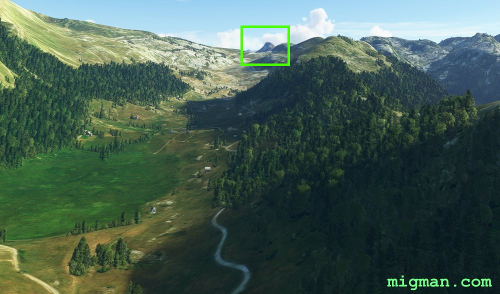 Mt. Vila, 6,991 ft
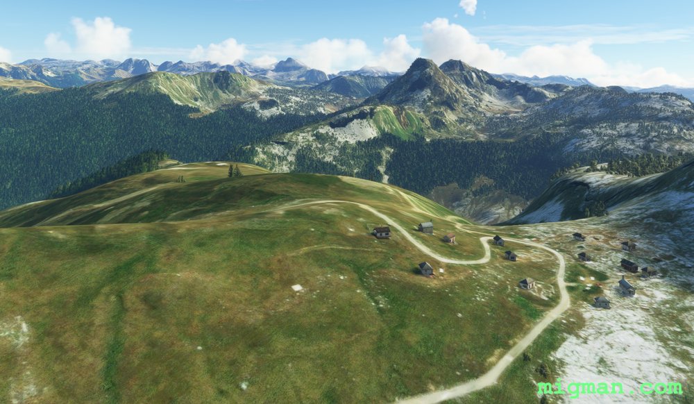
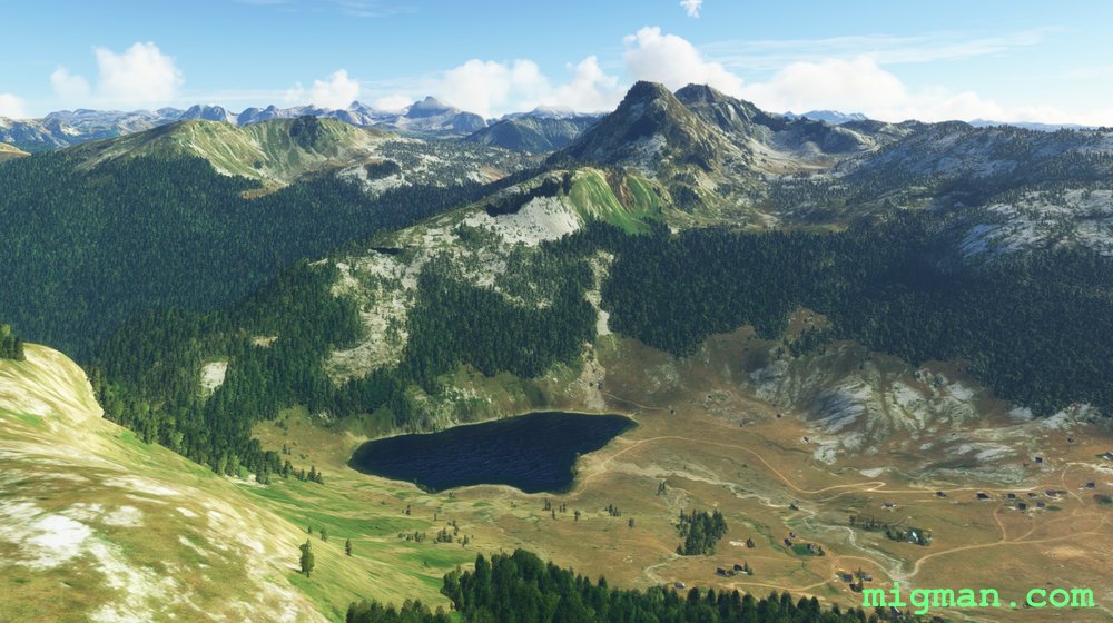 WP 4 - Cross valley, lake | Keep left of Mt. Vila, 6,991 ftMt. Vila, 6,991 ft
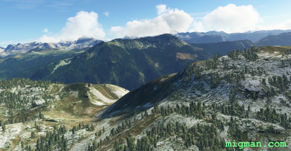 WP 5 - Valley | HDG 240 for 9 nm
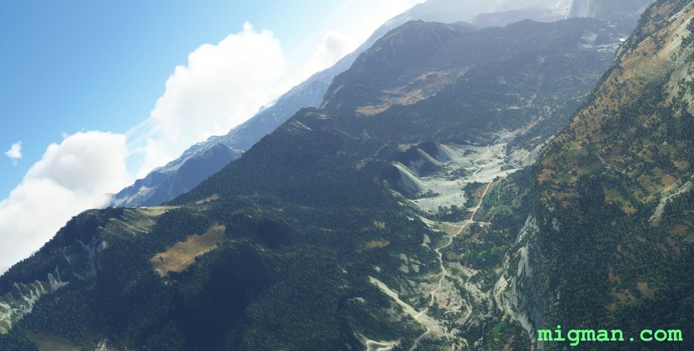
 WP 6 - Plateau | 3,000 ft
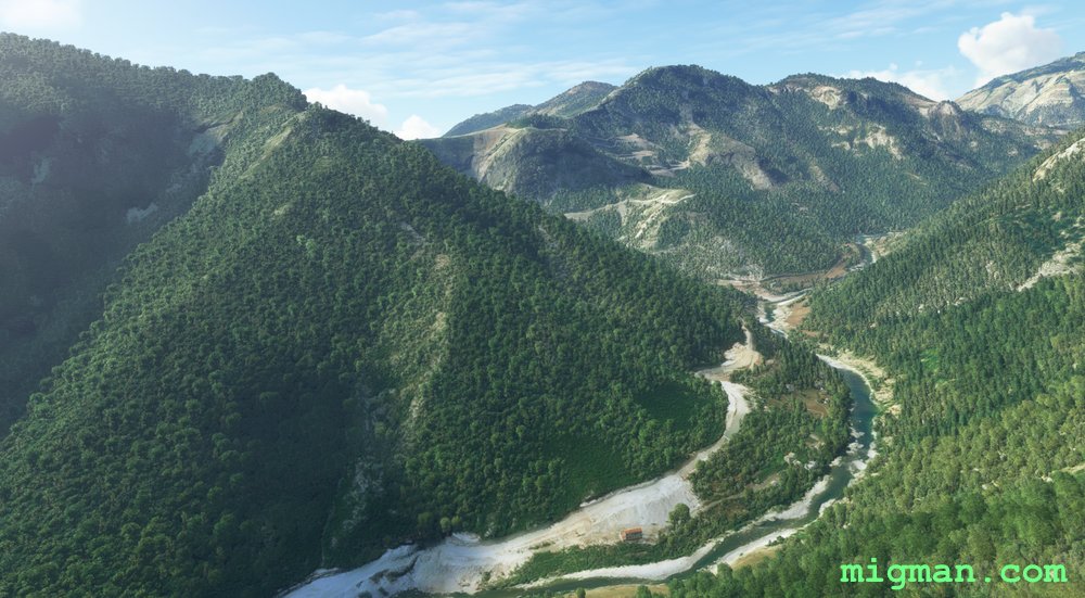
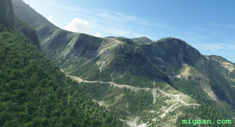
 WP 6 - Plateau | 3,000 ft
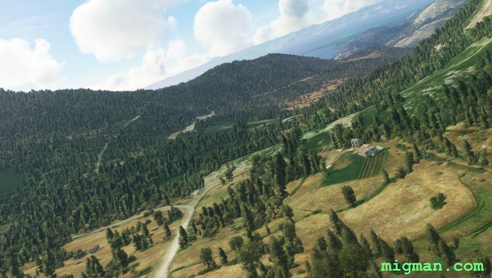
 WP 7 - Hill 708 ft | Turn right to airport
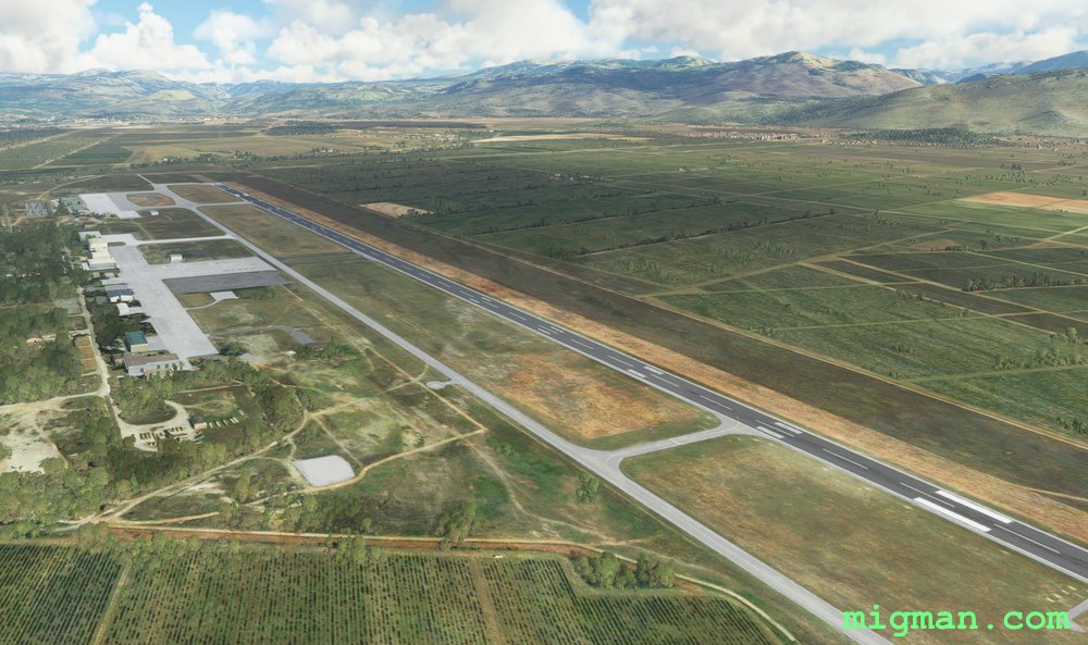 Podgorica (LYPG)
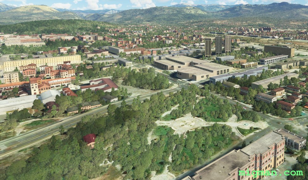 Podgorica, capital of Montenegro
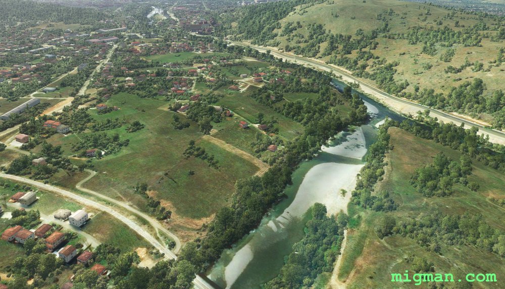 Podgorica
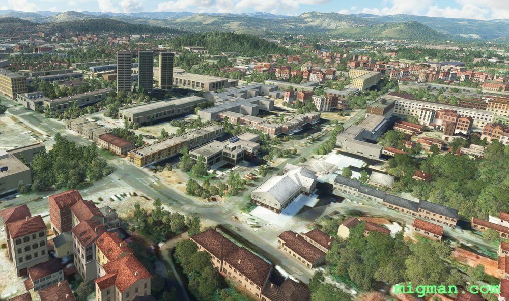 Podgorica