Oman
Dibs on the Strait of Hormuz
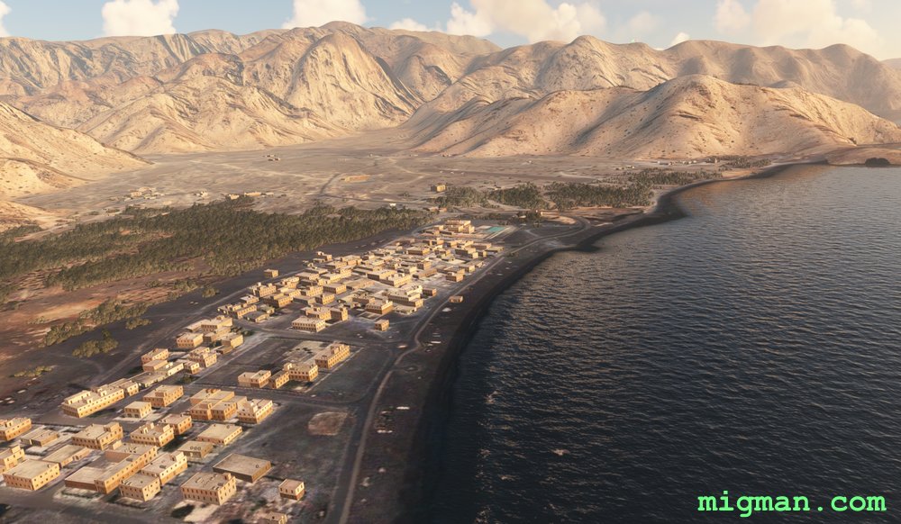
Khasab Airbase overlooks the strategically important Strait of Hormuz, joining the Persian Gulf and the Gulf of Oman. The airport is in a small valley with mountains on three sides.
31 nm: WP 2 and 7 | 99 nm: Entire route
NOTAM: WP 1: Dib Dibba, 2891 ft, is at the northenmost point of the island group overlooking the Strait of Hormuz.
WP 2: Follow the coast south from Khasab Airport, 1725 ft (not Khasab Airbase).
WP 3: The city of Dibba is divided into three parts: Dibba Al-Fujairah (UAE), Dibba Al-Hisn (UAE) and Dibba Al-Baya (Oman). Fly along the Oman / UAE border
WP 4-6: Return along the Oman / UAE border, which bisects the peninsula north to south.
WP 7 - Enter the valley and return to Khasab Airbase.
- Country: Oman
- Locale: Al Khasab
- Route: Khasab Airbase OOKB to Khasab Airbase OOKB
- Distance: 31 / 99 nm
- File name: oman-OOKB-to-OOKB-VFR-khasab-220611
Waypoints
- WP 1 - Dib Dibba Airport OODI | 2891 ft
- WP 2 - Khasab Airport
- WP 3 - Dibba Fort Park (Border with UAE)
- WP 4 - Mountain Peak ~ 3000 ft
- WP 5 - Valley / Road | Look left onto the port of Ras Al-Khaimah, UAE
- WP 6 - Town As Sayh
- WP 7 - Intersection / Enter the valley
 WP 1 - Dib Dibba Airport OODI | 2891 ft
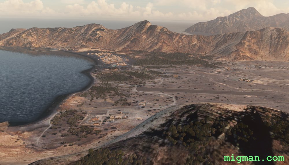 WP 2 - Khasab AirportAl Ima
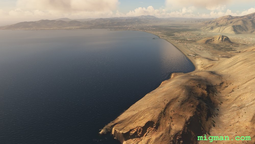 Dibba
Dibba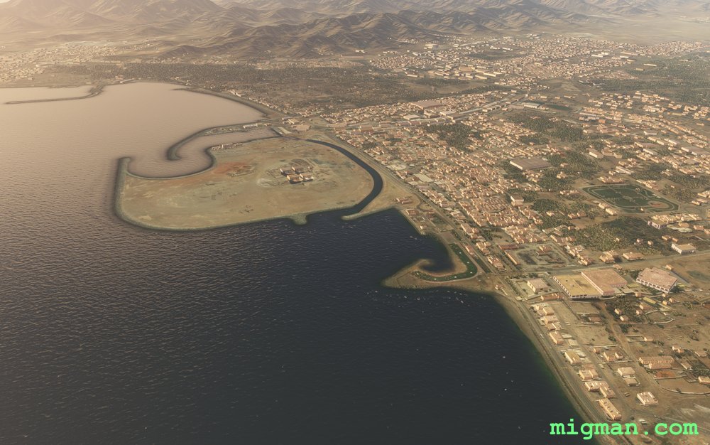 WP 3 - Dibba Fort Park (Border with UAE)
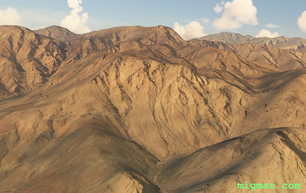 WP 4 - Mountain Peak ~ 3000 ft
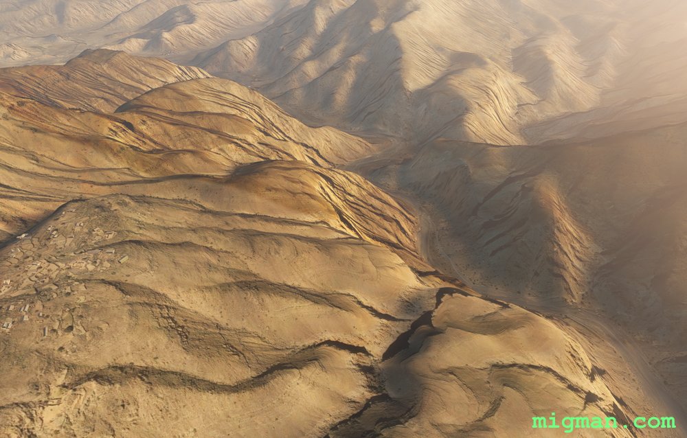 WP 5 - Valley / Road | Look left onto the port of Ras Al-Khaimah, UAE
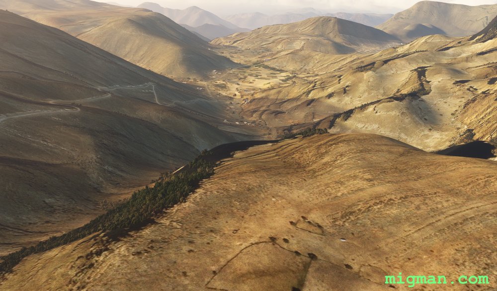 WP 6 - Town As Sayh
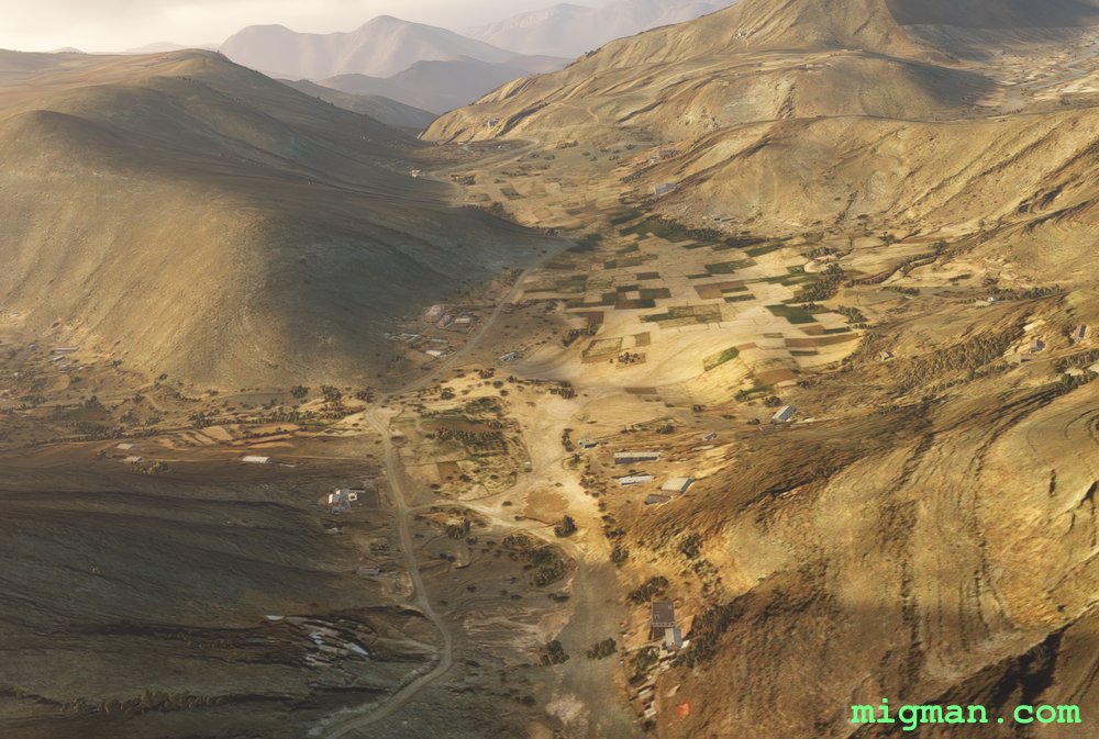 WP 6 - Town As Sayh
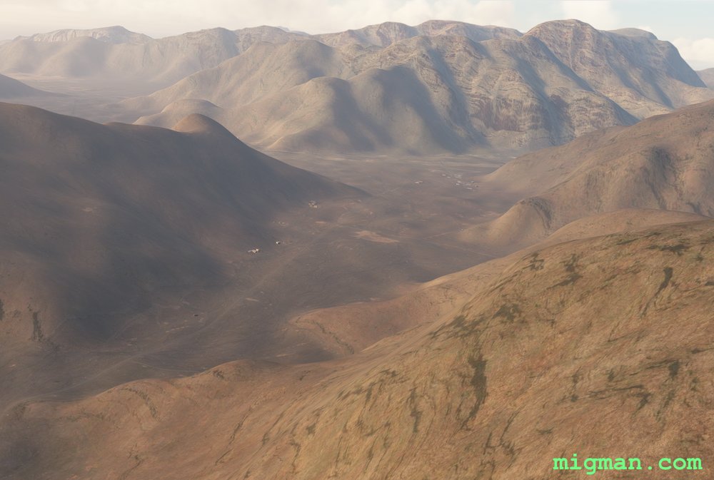 WP 7 - Intersection / Enter the valley
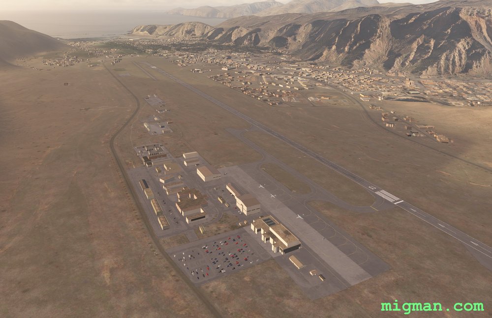 Khasab Airbase
 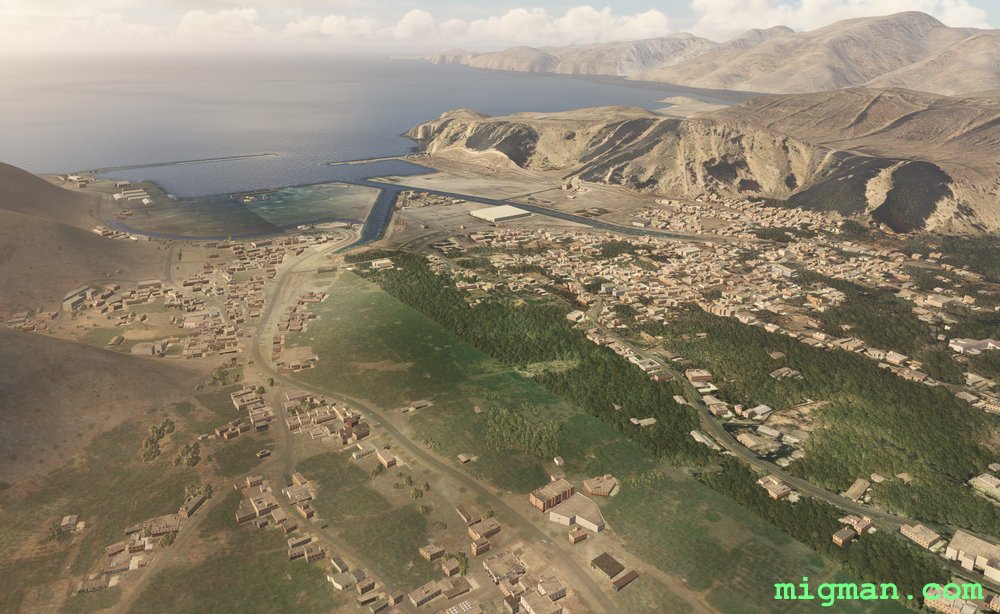 Al Khasab