Slovenia
Ljubljana Highs and Lows
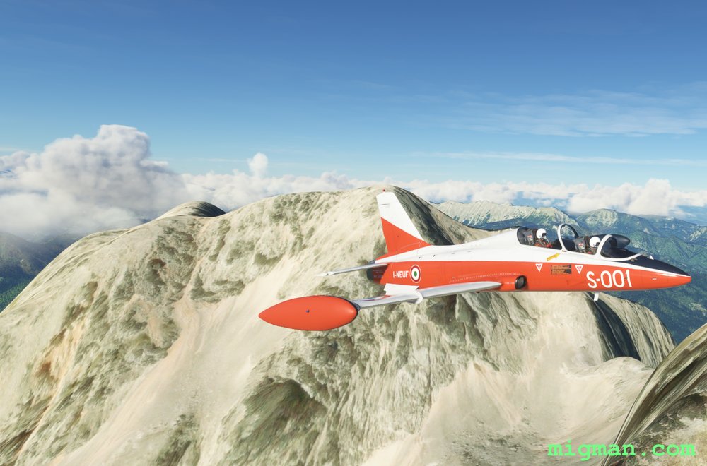
Take a cross country jaunt past the two highest peaks in the region and return along two charming and broad valleys. The flight can be broken into two stages:
- WP 1 - WP 4: Climb to about 8,500 feet and fly E
- WP 5 - WP 8: Follow the main road W along the valley floors
- Country: Slovenia
- Locale: Ljubljana
- Route: Ljubljana (LJLJ) to Ljubljana (LJLJ)
- Distance: 83 nm
- File name: slovenia-LJLJ-to-LJLJ-VFR-ljubljana-220117-cc
Waypoints
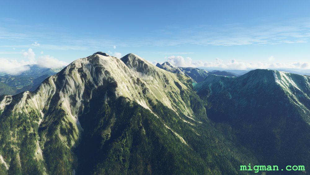
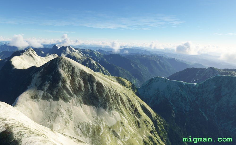
- WP 1 - Peak: Grintovec 2558m
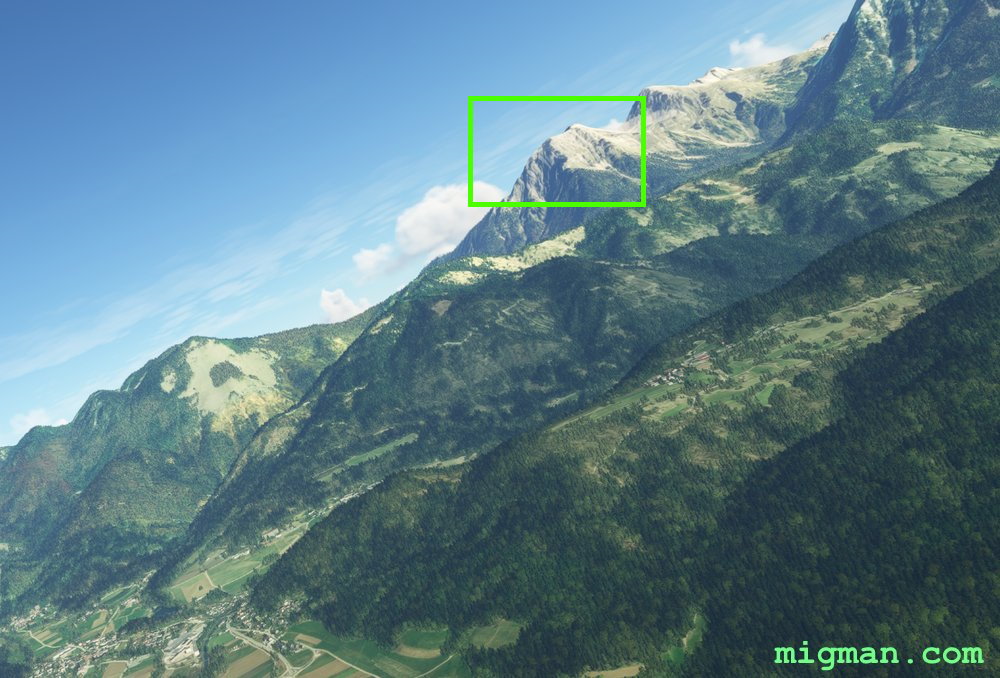
- WP 2 - Peak: Boskovec 1588m
- WP 3 - Lakes at Sostanj
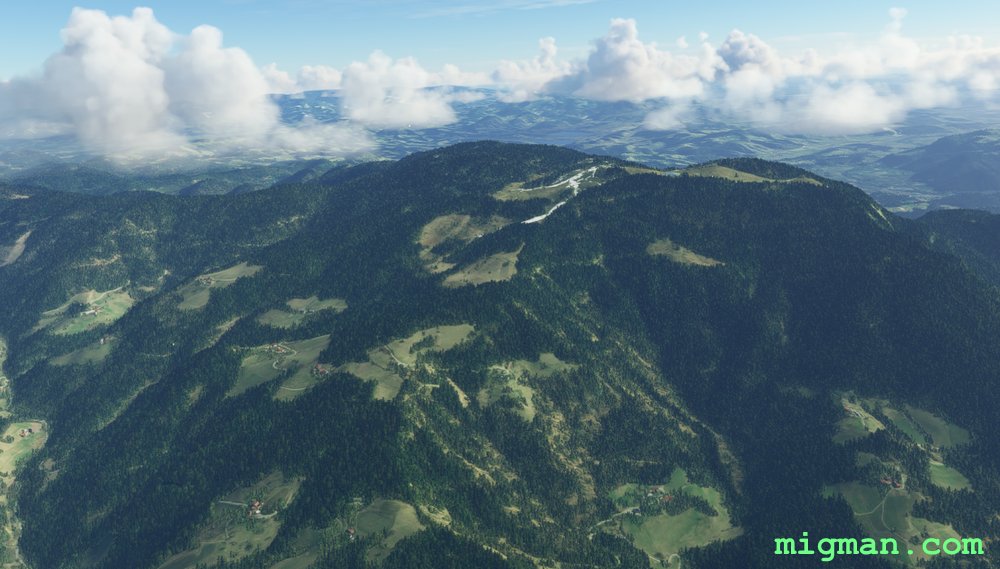
- WP 4 - Vojnik | Turn S
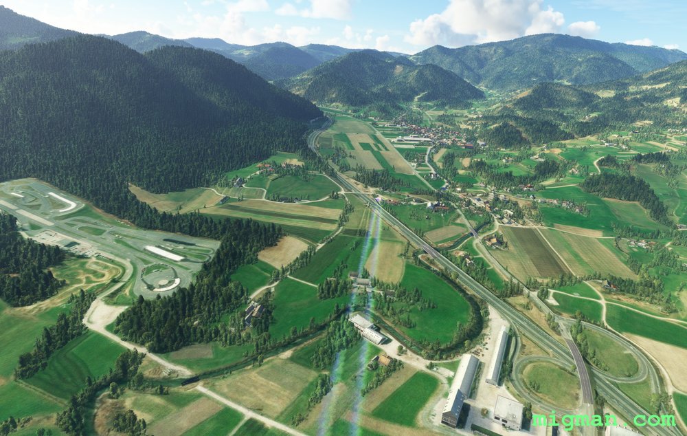
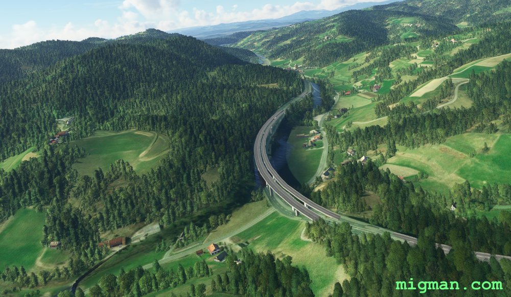
- WP 5 - Celje | Turn W for 13 nm along a broad valley
- WP 6 - Intersection at Brode | HDG 217 for 5 nm | This can be a tricky one to follow, as there are several bends and road tunnels. It can be done, but given the short distance, it's probably best to climb and fly direct.
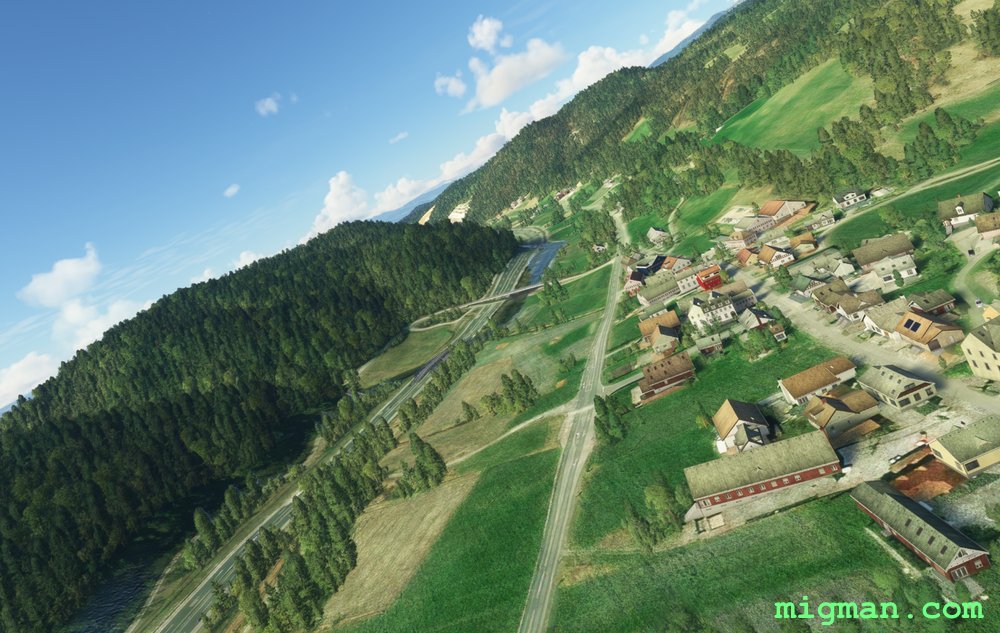
- WP 7 - Trojane | HDG 255 for 13 nm
- WP 8 - Intersection on the outskirts of Domzale
 WP 1 - Peak: Grintovec 2558mWP 1 - Peak: Grintovec 2558m
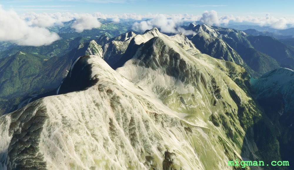
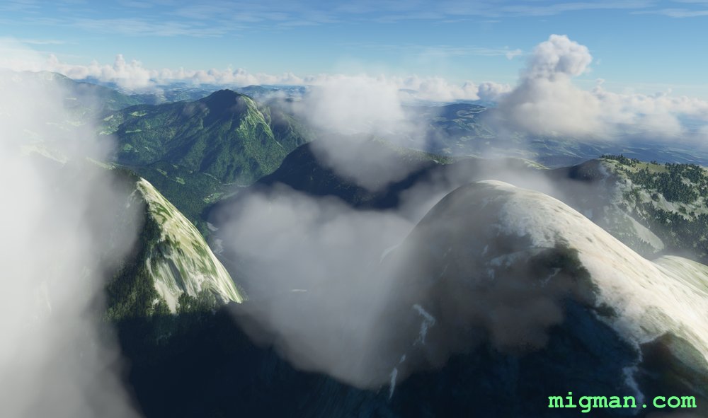
 WP 2 - Peak: Boskovec 1588m
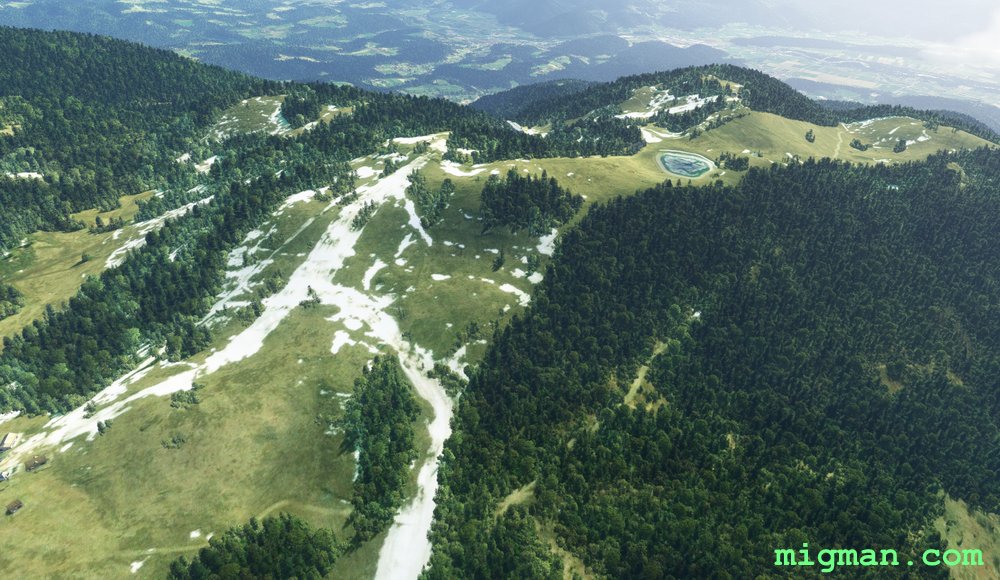 WP 2 - Peak: Boskovec 1588m
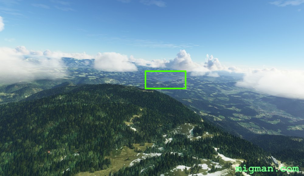 WP 3 - Lakes at Sostanj
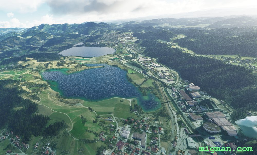 WP 3 - Lakes at Sostanj
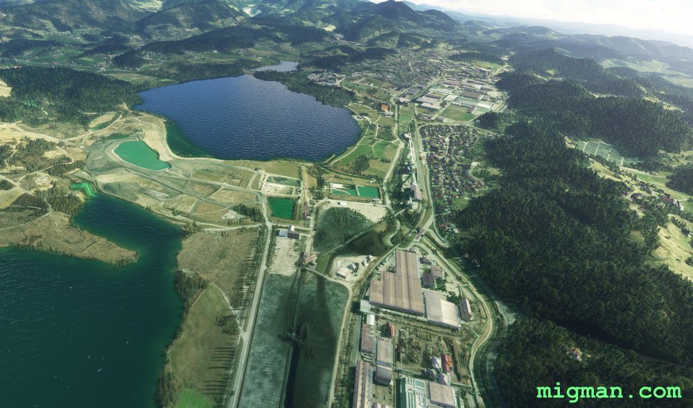 WP 3 - Lakes at Sostanj
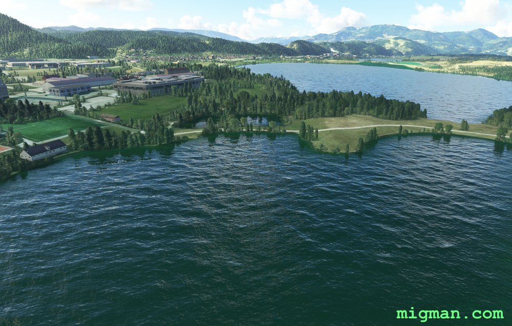 WP 3 - Lakes at Sostanj
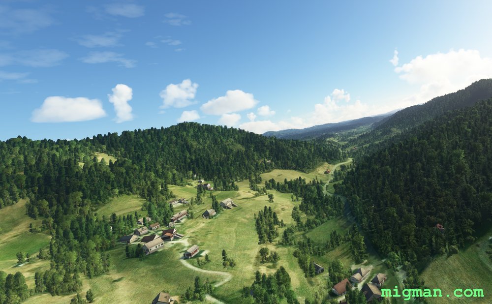
 WP 4 - Vojnik | Turn S
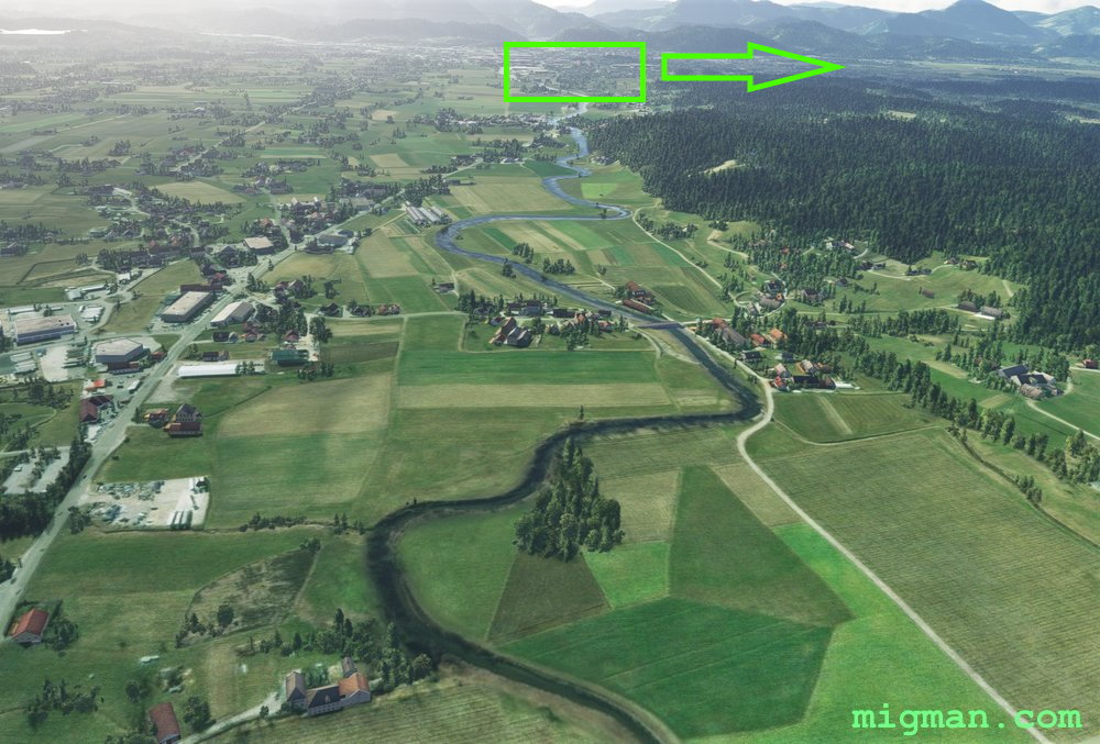 WP 5 - Celje | Turn W for 13 nm along a broad valley
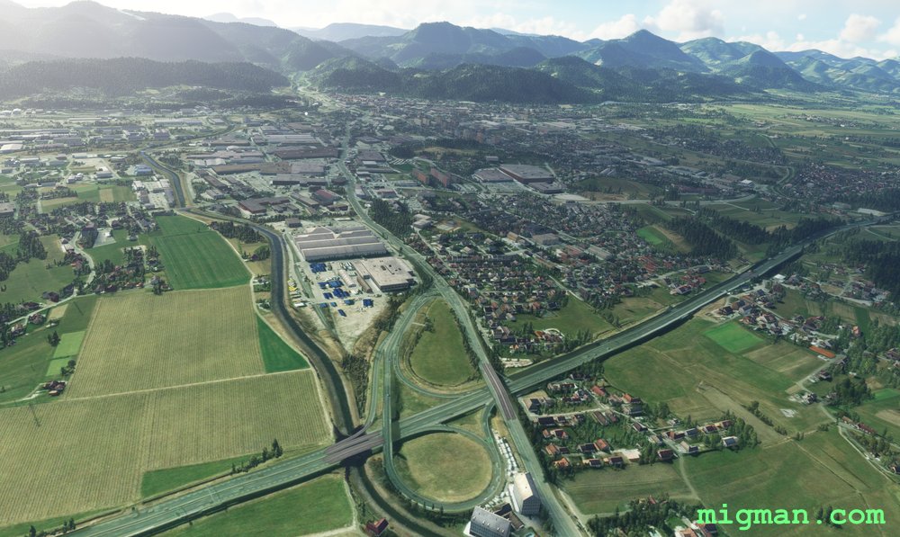 WP 5 - Celje | Turn W for 13 nm along a broad valley
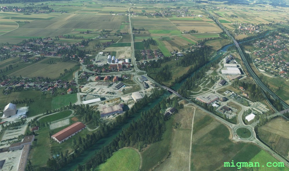
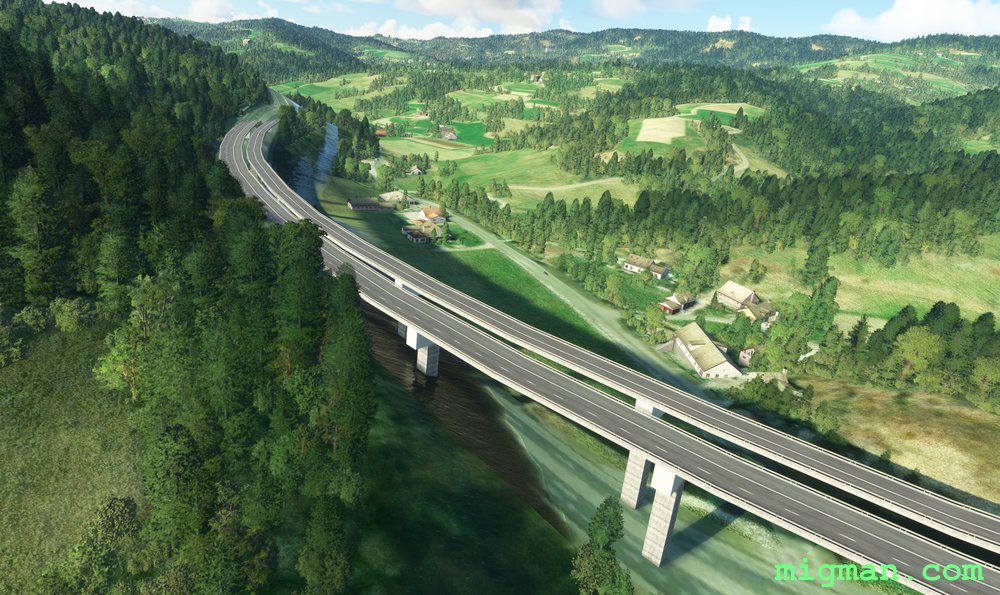
 WP 6 - Intersection at Brode | HDG 217 for 5 nm | This can be a tricky one to follow, as there are several bends and road tunnels. It can be done, but given the short distance, it's probably best to climb and fly direct.
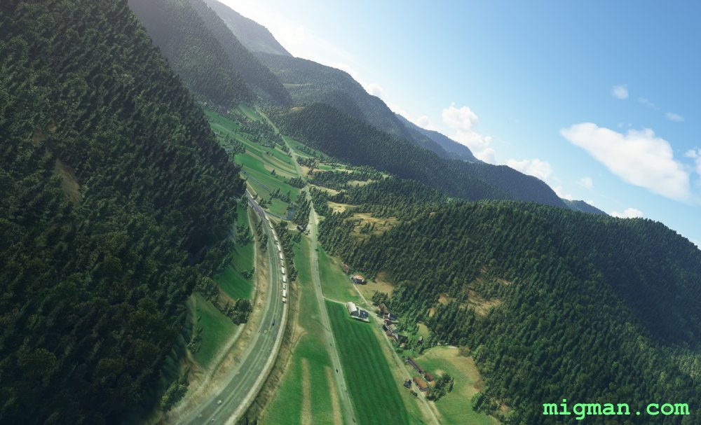 WP 6 - Intersection at Brode | HDG 217 for 5 nm | This can be a tricky one to follow, as there are several bends and road tunnels. It can be done, but given the short distance, it's probably best to climb and fly direct.
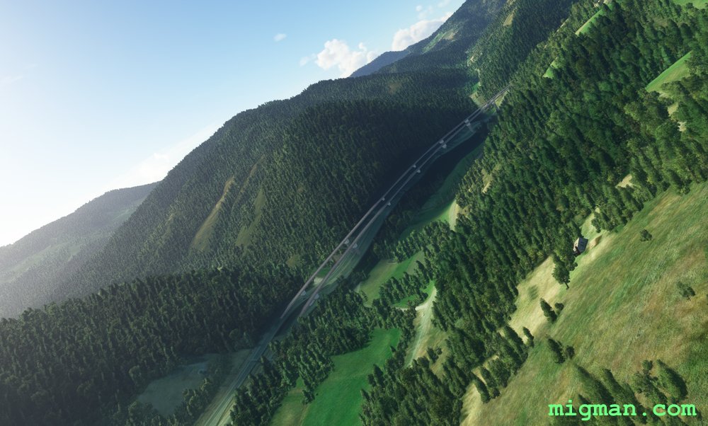 WP 7 - Trojane | HDG 255 for 13 nm
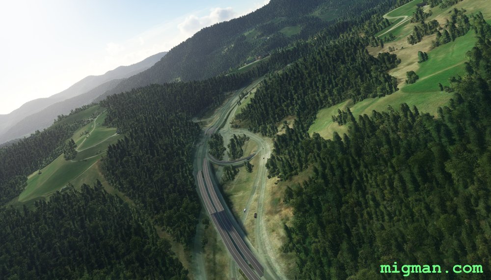
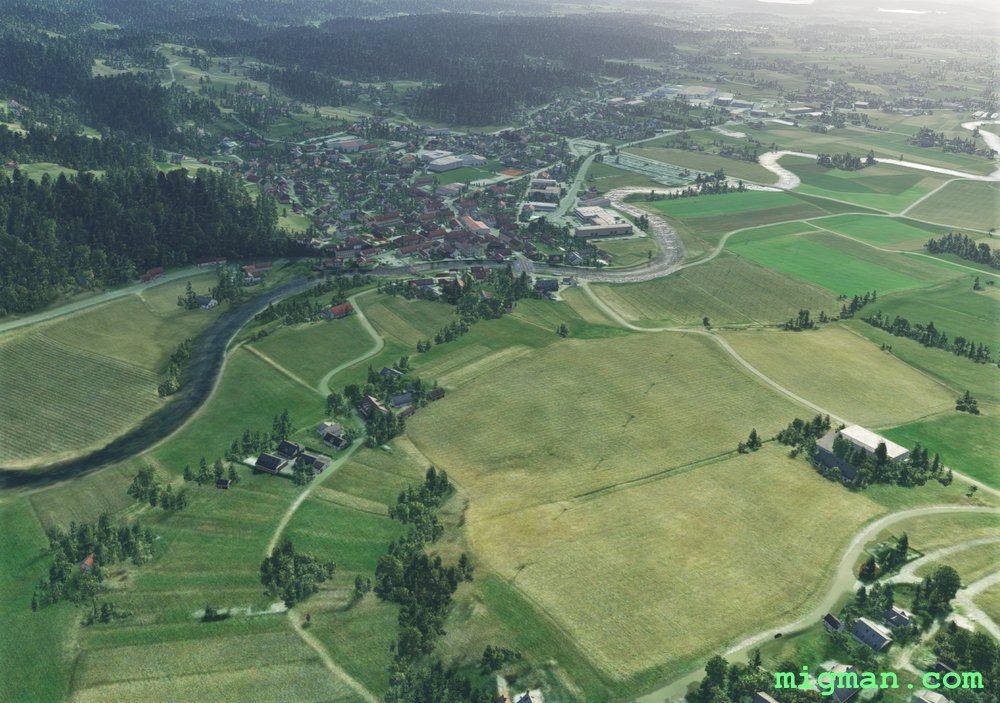
 WP 8 - Intersection on the outskirts of Domzale
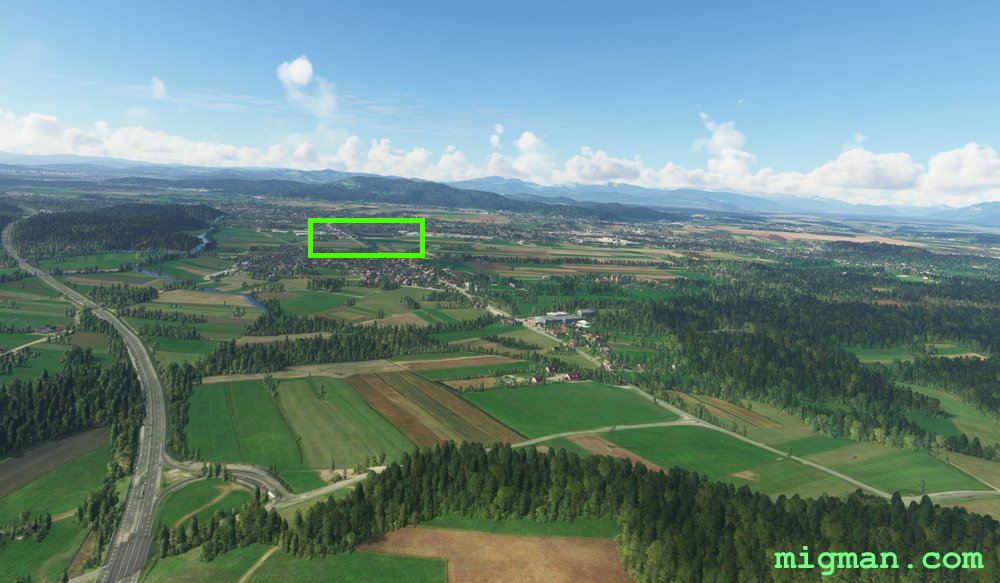 WP 8 - Intersection on the outskirts of Domzale
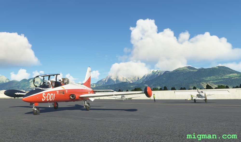 Parked at Ljubljana (LJLJ) with WP 1 (Peak: Grintovec 2558m) in the background