
Thailand
Chao Phraya River and the Grand Palace
Description
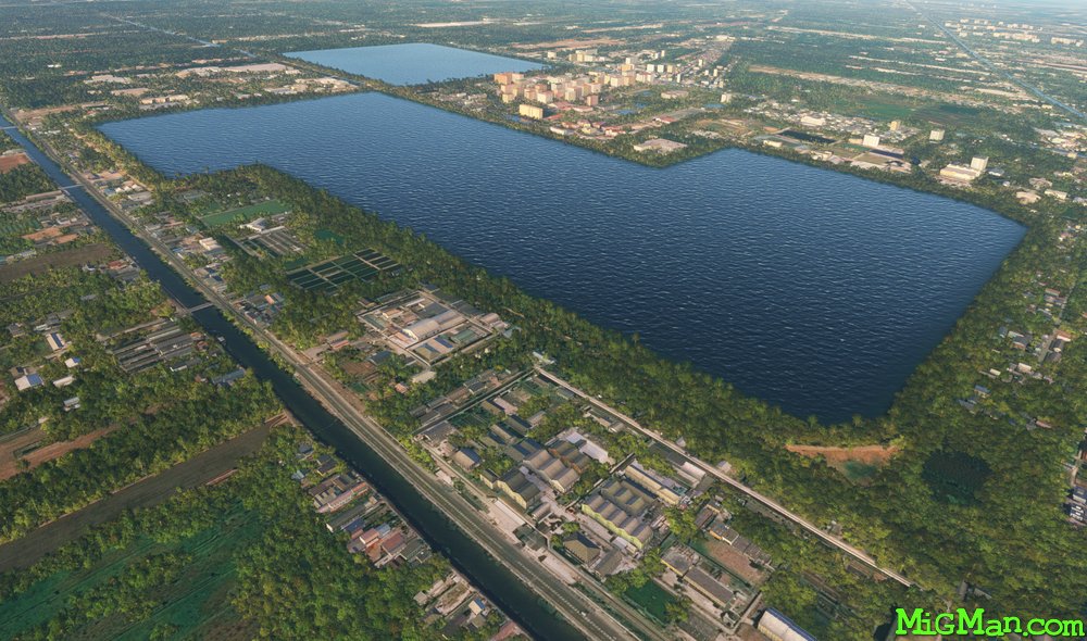
Make the most of this route by flying at low level along the Chao Praya river through the centre of Bangkok. You can easily follow either of the two tollways to waypoint 1 as they traverse the patchwork quilt patterns formed by irrigated fields situated on long canals.
Nav data
- Country: Thailand
- Locale: Bangkok
- Route: VTBS Suvarnabhumi to VTBS Suvarnabhumi
- Distance: 99 nm
- File name: thailand-VTBS-to-VTBS-VFR-bangkok-221024
Waypoints
- WP 1 - Royal Lakeside Golf Club / Mouth of the Bang Pakong River
- WP 2 - Follow Sukhmvir Road west along the shore for 22 miles
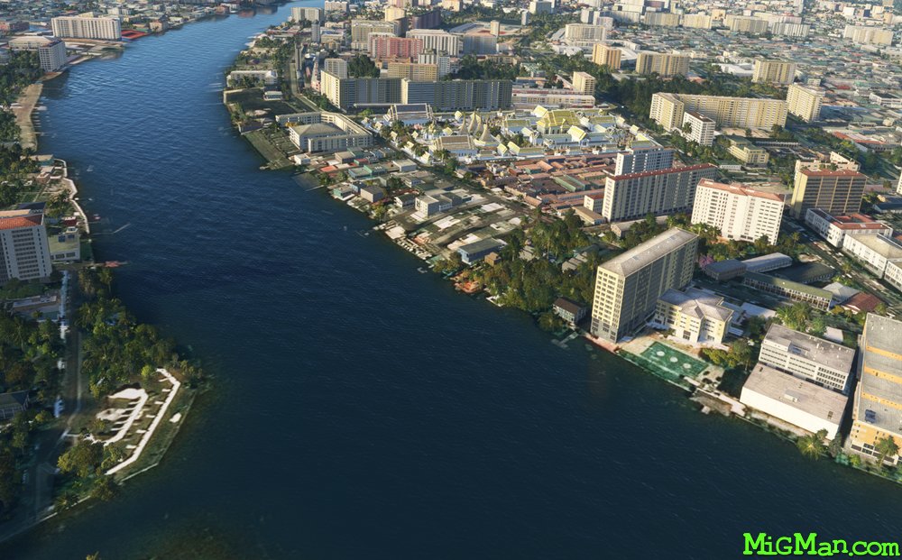
- WP 3 - Follow the Chao Phraya River NW to Krung Thep Bridge
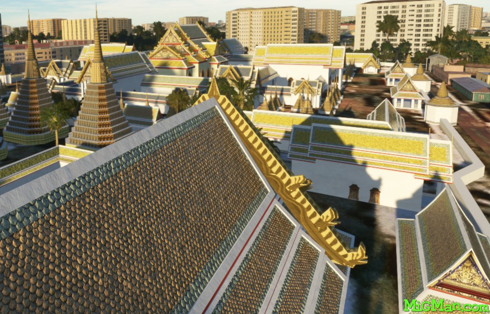
- WP 4 - The Grand Palace
- WP 5 - Rama VI and Rama VII Bridges
- WP 6 - Pass over Bangkok International Airport VTBD / Don Mueang International Airport to Ramanjala University
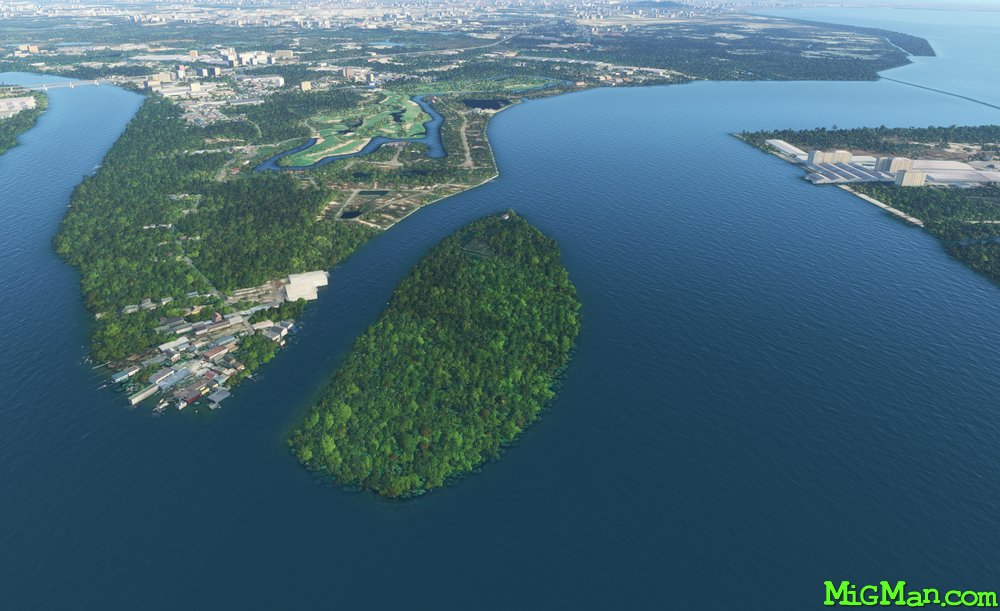
WP 1 - Royal Lakeside Golf Club / Mouth of the Bang Pakong River
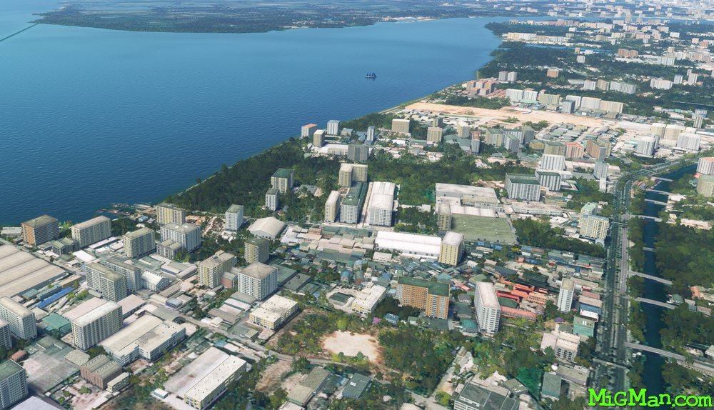
WP 2 - Follow Sukhmvir Road west along the shore for 22 miles to the mouth of the Chao Praya River
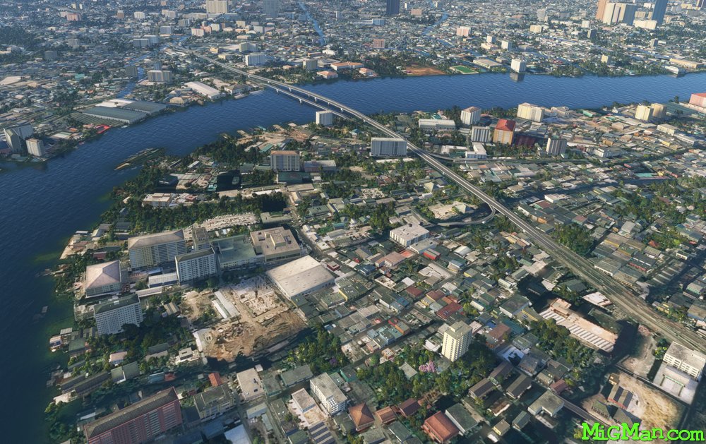
WP 3 - Follow the Chao Phraya River NW to Krung Thep Bridge
WP 4 - The Grand Palace
WP 4 - The Grand Palace
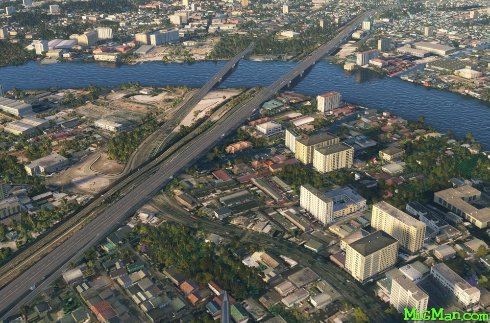
WP 5 - Rama VI and Rama VII Bridges
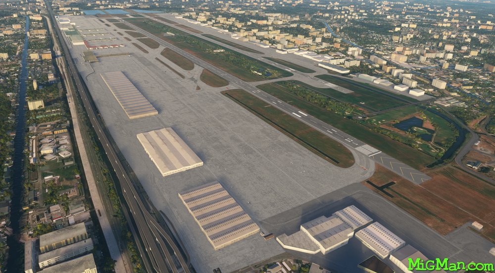
Pass over Bangkok International Airport VTBD
WP 6 - Ramanjala University
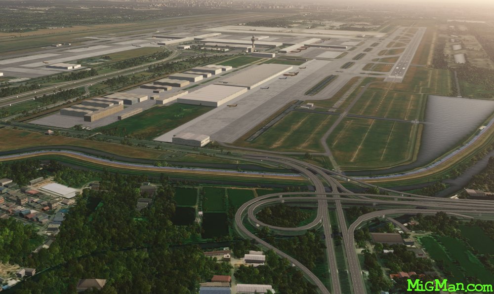
VTBS Suvarnabhumi
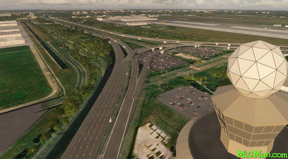
VTBS Suvarnabhumi
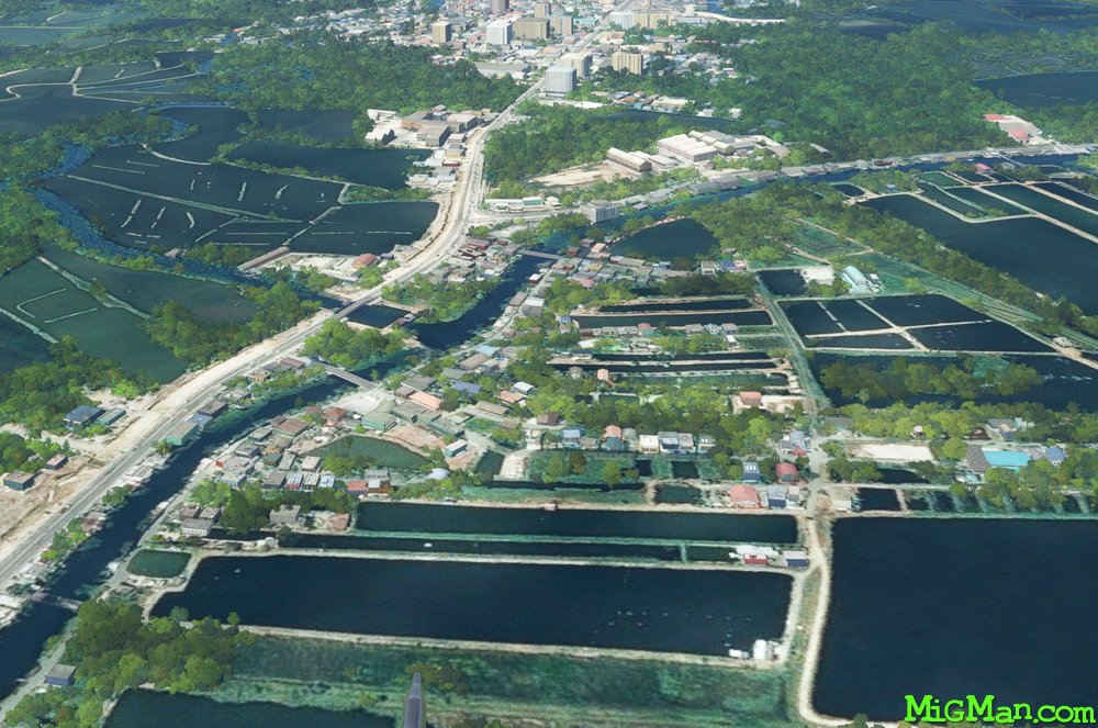
Typical Thai countryside