
Timor-Leste
Mount Tatamailau
Description
Fly to Mount Tatamailau, the highest point in Timor-Leste at 9,800 ft, and get a birds-eye view of this spectacular island.
Nav data
- Country: Timor-Leste
- Locale: Dili
- Route: WPDL President Nicolau Lobato to WPDL President Nicolau Lobato
- Distance: 99 nm
- File name: timor-leste-WPDL-to-WPDL-VFR-dili-221025
Waypoints
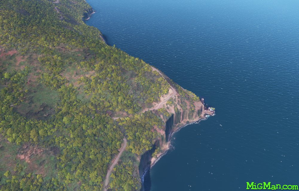
- WP 1 - Follow the coast west to the small promotory just past Kulkora
- WP 2 - Mouth of the River Lois
- WP 3 - Follow the river valley to Mount Lolemau
- WP 4 - Follow the ridge to Mount Tatamailau
- WP 5 - River Junction at Mantane
- WP 6 - Cross the ridgeline
- WP 7 - Port facility at Hera
- Follow the coast west to President Nicolau Lobato International WPDL
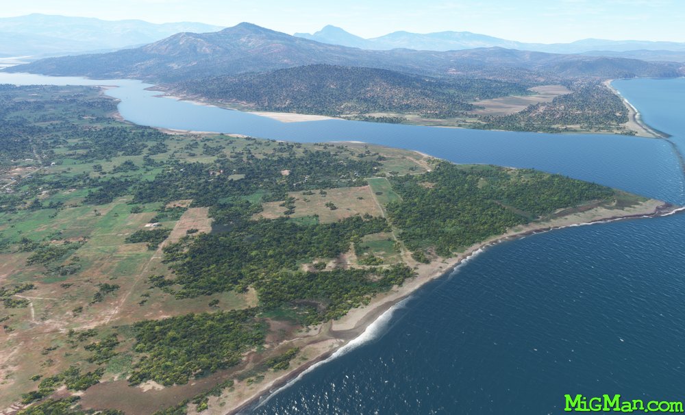
 WP 1 - Follow the coast west to the small promotory just past KulkoraWP 2 - Mouth of the River Lois
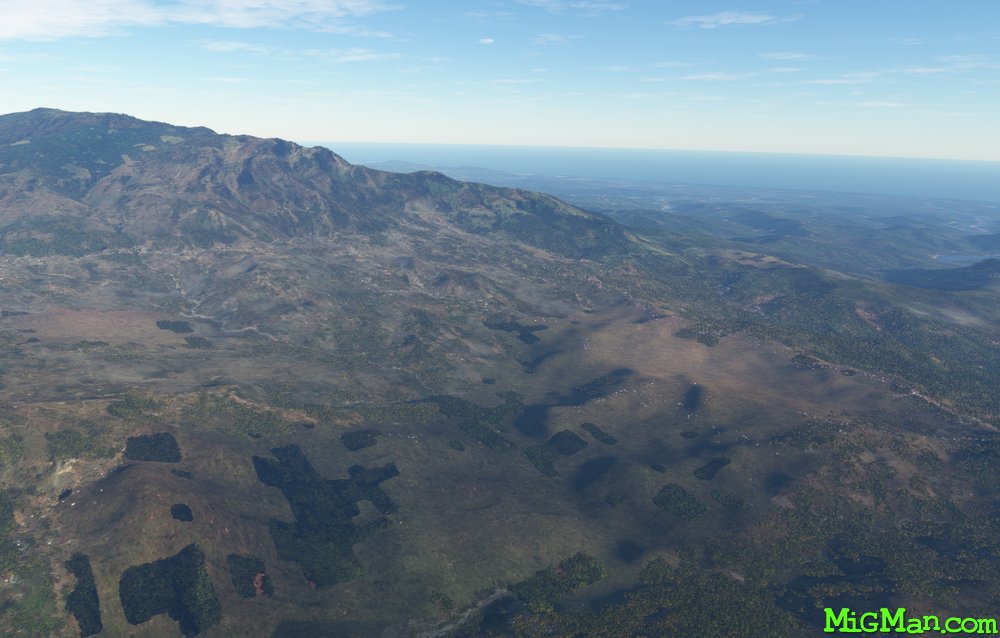 WP 3 - Follow the river valley to Mount Lolemau
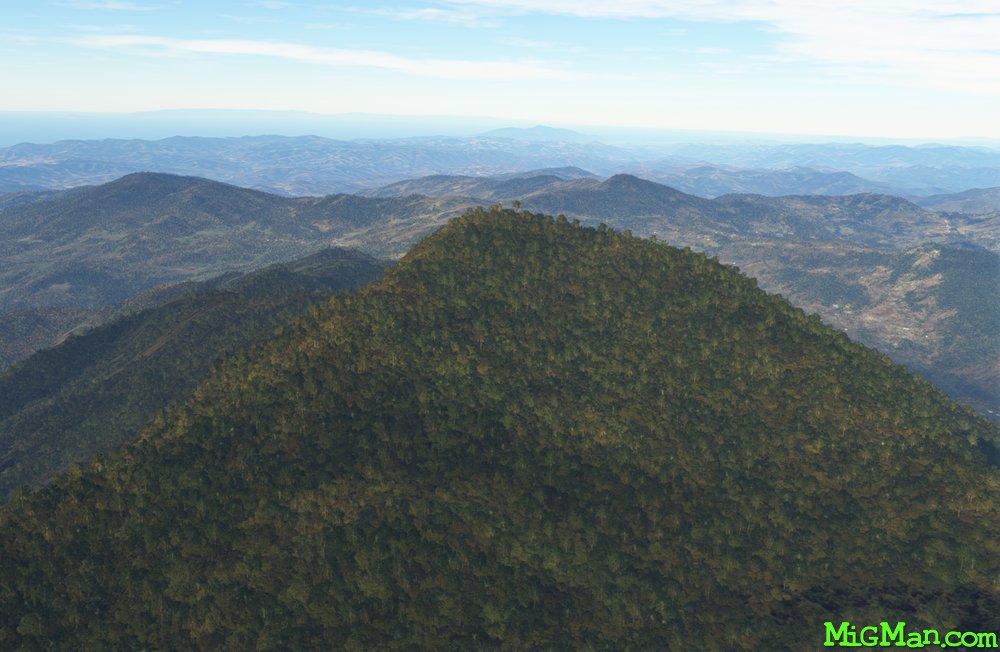 WP 4 - Follow the ridge to Mount Tatamailau
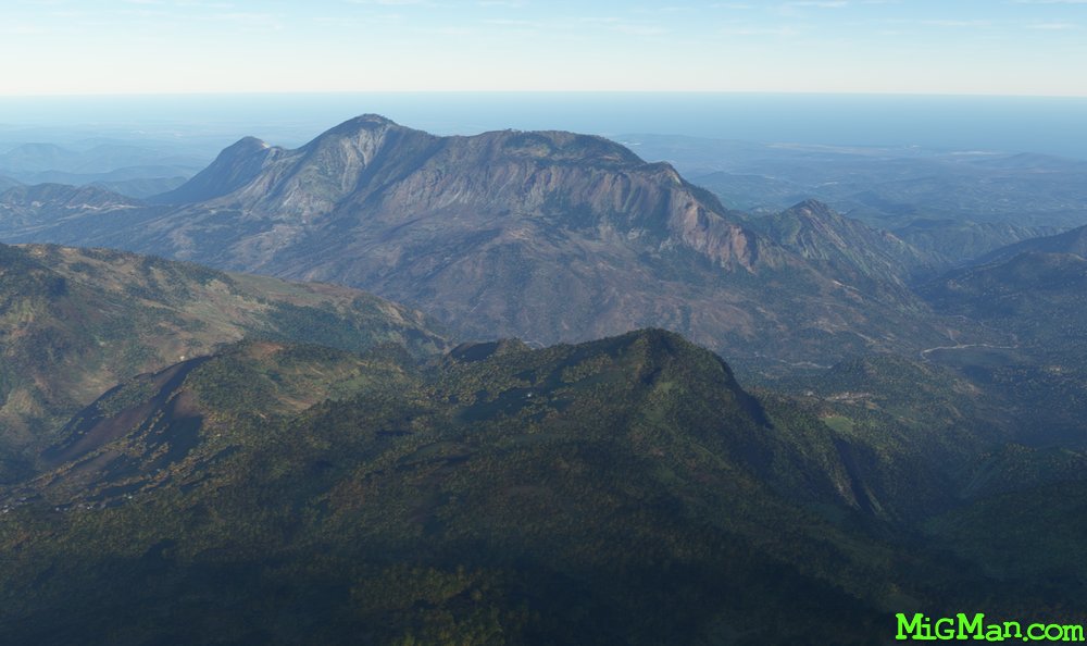 Looking WE from Mount Tatamailau
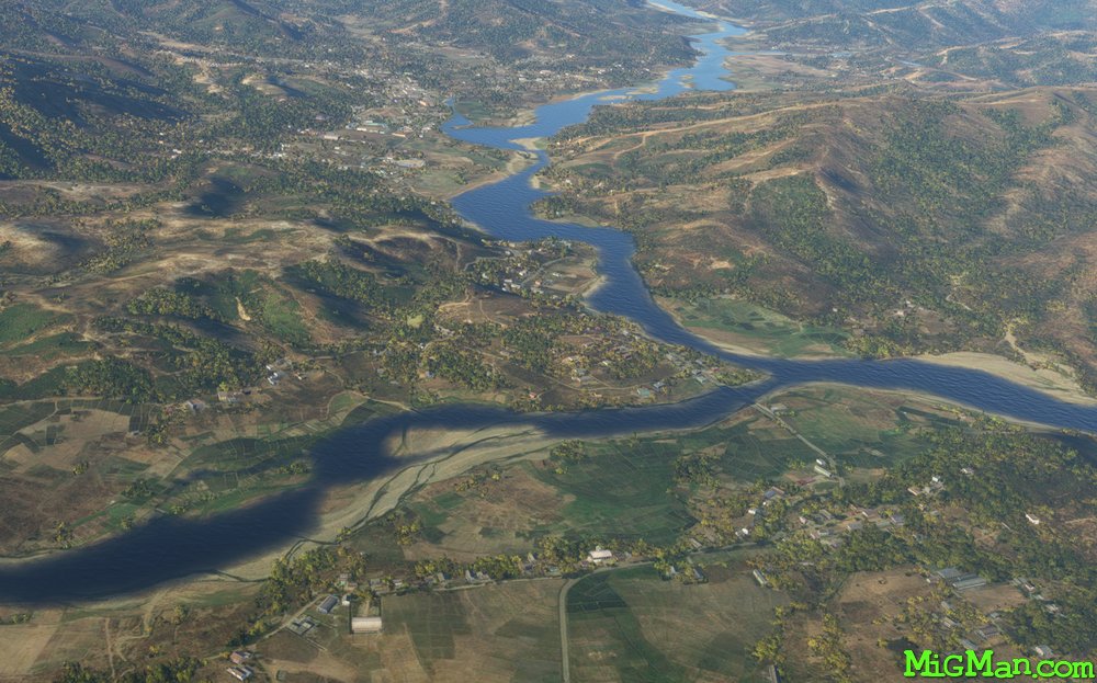 WP 5 - River Junction at Mantane
 WP 6 - Cross the ridgeline
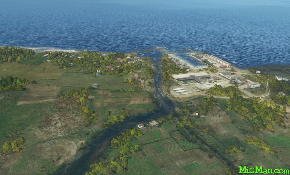 WP 7 - Port facility at Hera
 Follow the coast west to President Nicolau Lobato International WPDL
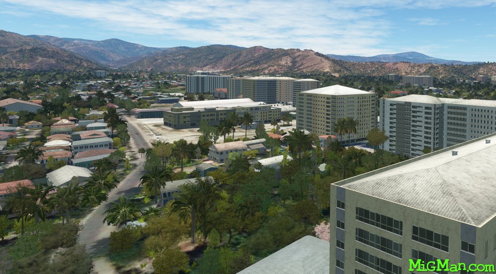 Dili
Dili