
Trinidad and Tobago
San Fernando and the South-West Coast
Description
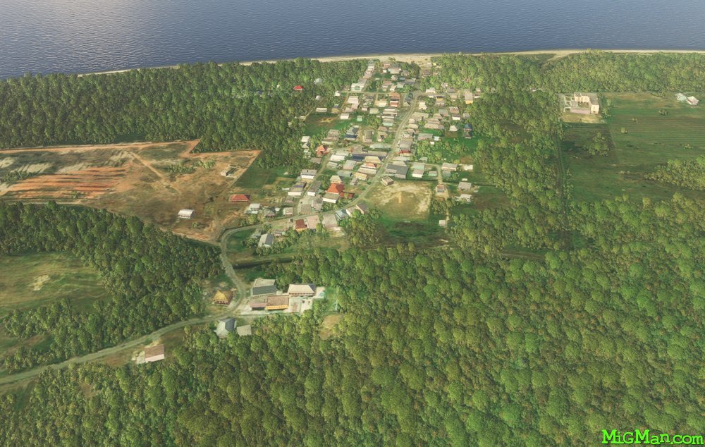
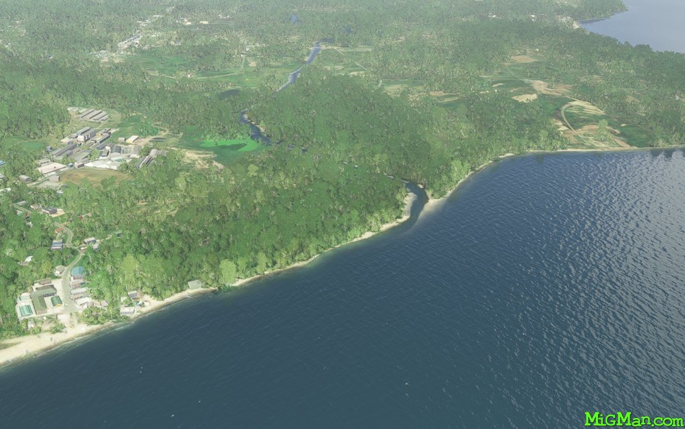
Explore the many coastal towns and beaches in Trinidad's south west. The Point-A-Pierre POL (Petroleum, Oil, Liquid storage facility) is at the north end of the large coastal city of San Fernando. Follow the coastline all the way to Icacos Point which is the southernmost point on Trinidad.
Round trips
24 nm: WP 1 Camden Airfield TTCO 3742 feet
38 nm: WP 1 and 2 to San Fernando
112 nm: Entire route
150 nm: South East Region. Trinidad's south eastern area is sparsely populated and covered by forest. If you want to experience that region then fly to WP 5 at San Francique, turn east and follow the coast. After about 40 nm the coast turns north at Galeota Port and continues for another 43 nm to Galera Point.
Nav data
- Country: Trinidad and Tobago
- Locale: Trinidad
- Route: Piarco TTPP to Piarco TTPP
- Distance: 24, 36, 112 nm
- File name: trinidad-tobago-TTPP-to-TTPP-VFR-san-fernando-220715
Waypoints
- WP 1 - Camden Airfield TTCO 3742 ft
- WP 2 - Point-A-Pierre POL facility & San Fernando
- WP 3 - Columbus Beach
- WP 4 - Icacos Point (southern-most point on Trinidad)
- WP 5 - Mouth of the Erin River at San Francique
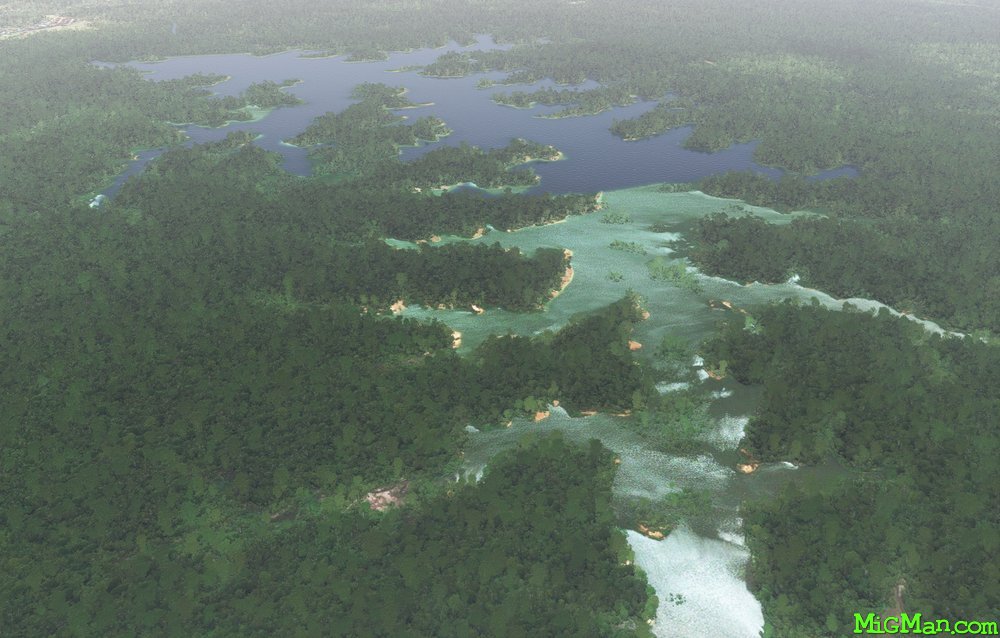
- WP 6 - Moora Dam
- WP 7 - Arena Reservoir
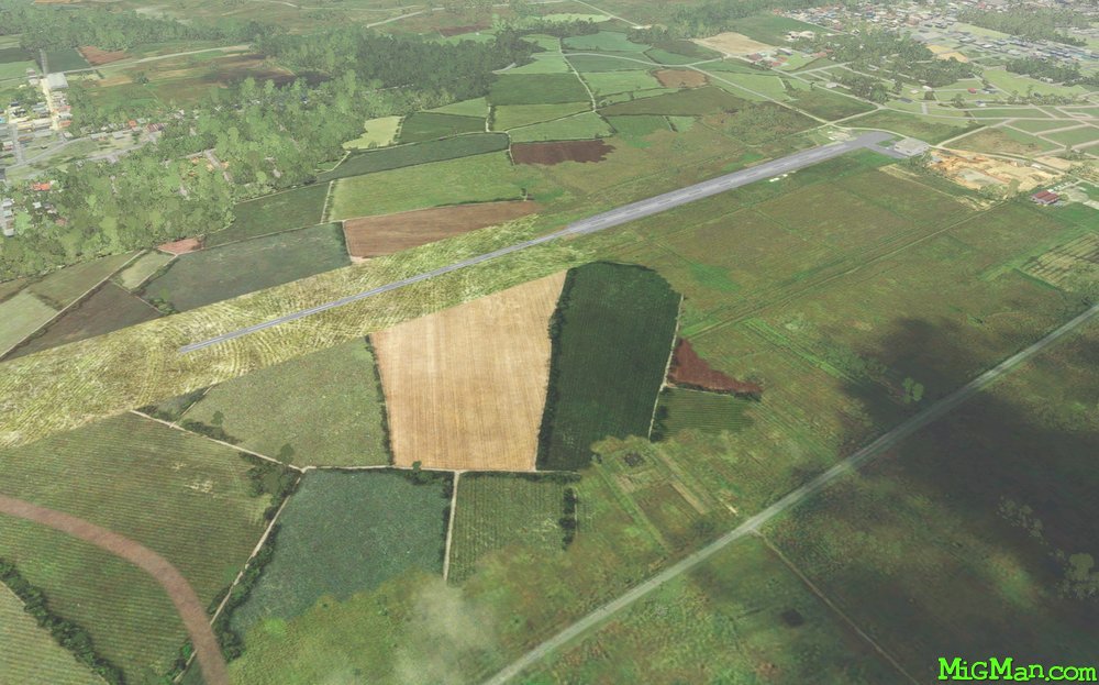
WP 1 - Camden Airfield TTCO 3742 ft
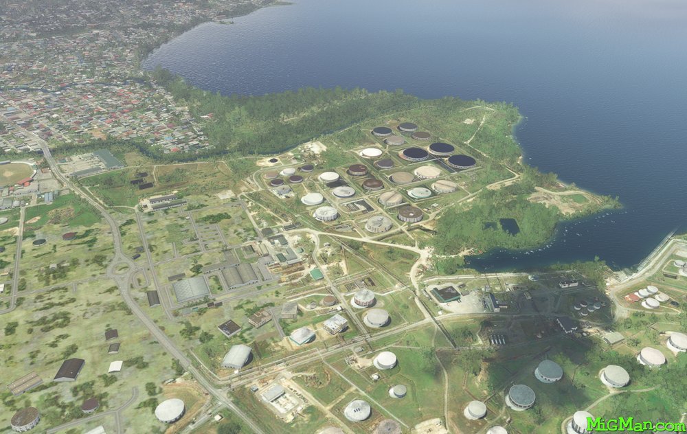
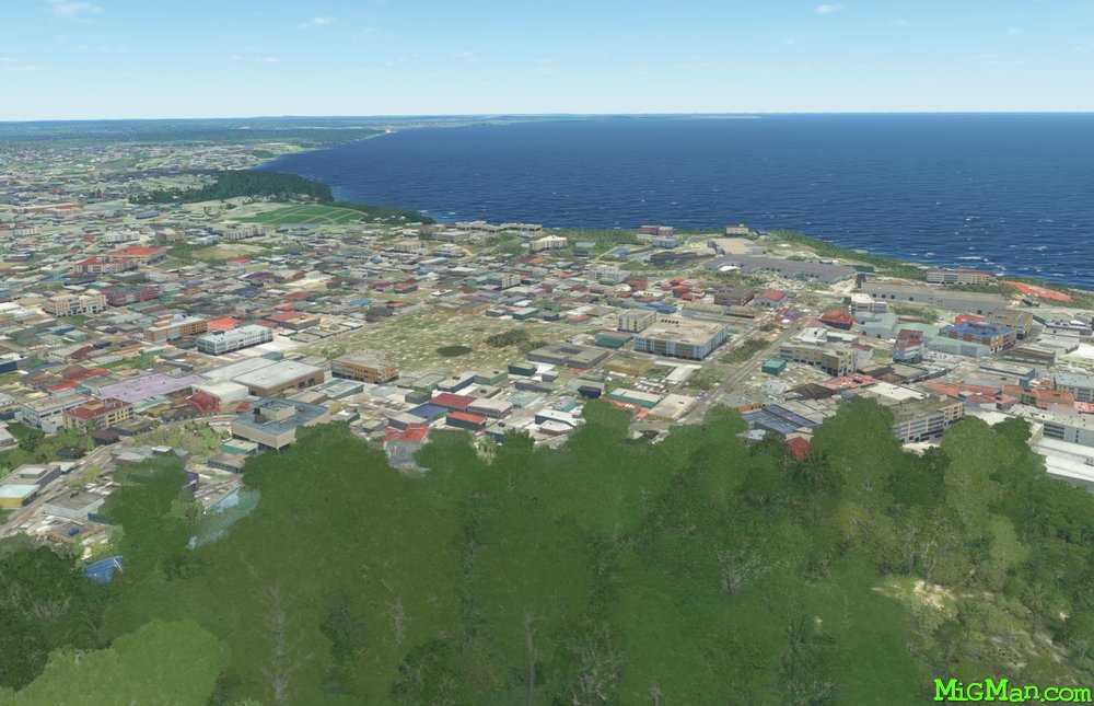
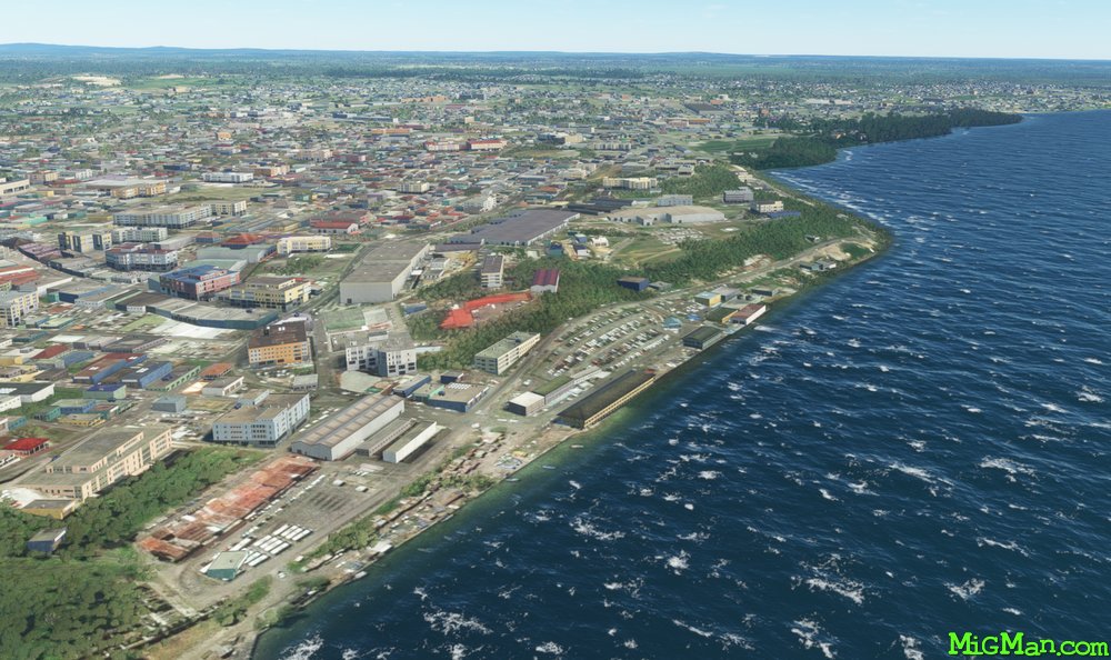
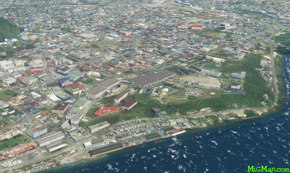
WP 2 - Point-A-Pierre POL facility & San Fernando
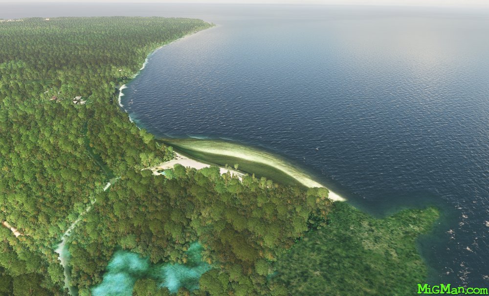
WP 3 - Columbus Beach
WP 4 - Icacos Point (southern-most point on Trinidad)
WP 5 - Mouth of the Erin River at San Francique
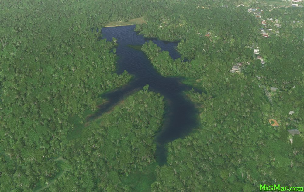
WP 6 - Moora Dam
WP 7 - Arena Reservoir
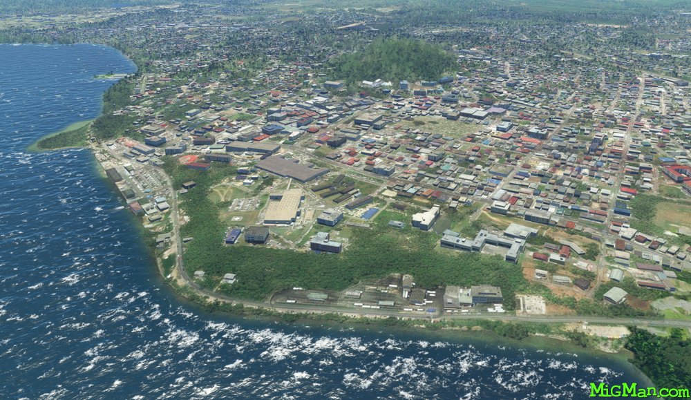
San Fernando
San Fernando
San Fernando
San Fernando