Trinidad and Tobago
Trinidad North West
Description
Just off the north coast of Venezuela lay the islands of Trinidad and Tobago, one of the larger island chains in the West Indies.
Fly out out of Piarco International Airport TTPP 10,457, across the the capital Port of Spain, explore the north east coast of Trinidad and return across the east to west mountain range.
NOTAM: At Chacachacare. Venezuela is visible 5 nautical miles to the west across Bocas del Dragon.
Round trips: 58 nm: At WP 5 Diego Martin, turn south and follow the valley south for 5nm to WP 2 - Intersection at Fort George then return to Piarco airport. 70 nm plus: Explore the north east coast: Fly directly to WP 6, follow the coast to the east. At the most easterly point turn south and follow the coast. When ready, return via WP 7 or directly to Piarco airport. 72 nm: Entire route
Nav data
- Country: Trinidad and Tobago
- Locale: Trinidad
- Route: Piarco TTPP to Piarco TTPP
- Distance: 58, 70, 72 nm
- File name: trinidad-tobago-TTPP-to-TTPP-VFR-trinidad-nw-220715
Waypoints
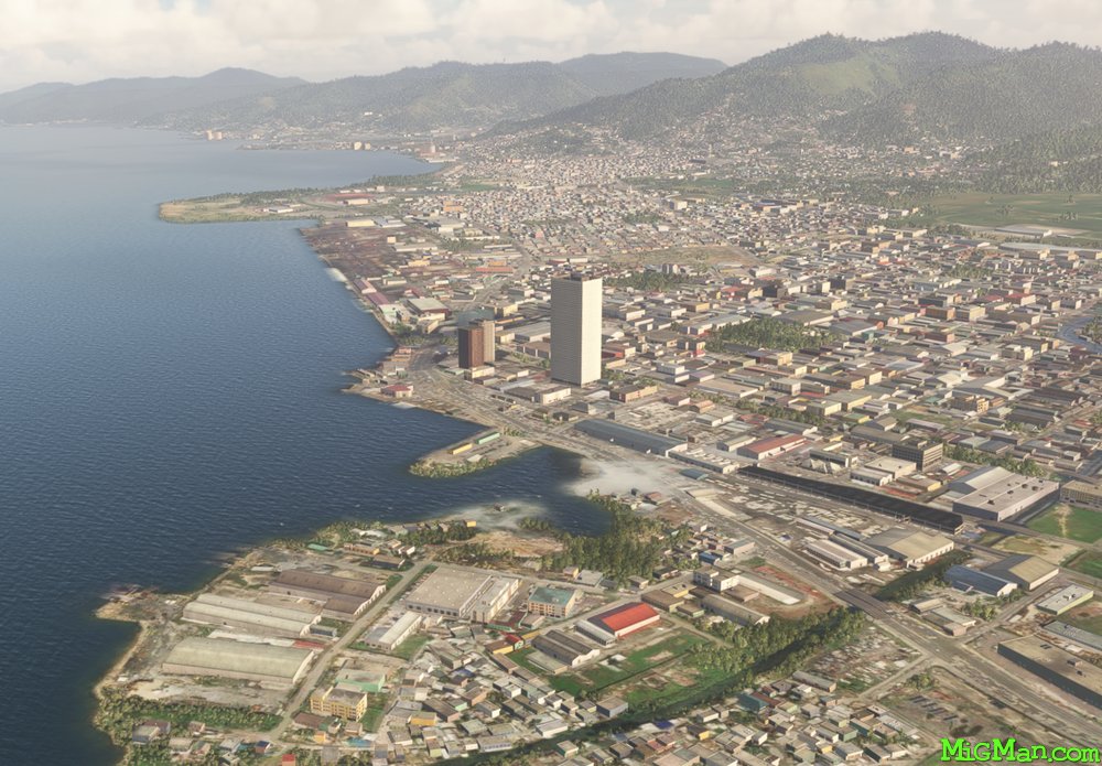
- WP 1 - Harbour at Port of Spain
- WP 2 - Intersection at Fort George
- WP 3 - Caribbean Dockyard
- WP 4 - Chacachacare (lighthouse)
- WP 5 - Town of Diego Martin
- WP 5 - Headland at Filette
- WP 6 - Intersection at Valencia
WP 1 - Harbour at Port of Spain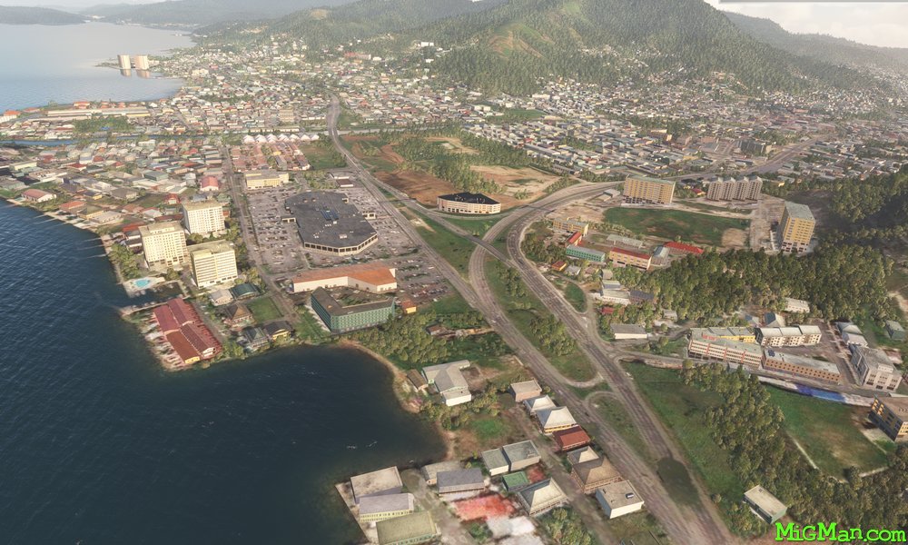 WP 2 - Intersection at Fort George
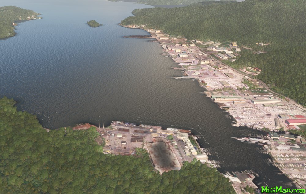 WP 3 - Caribbean Dockyard
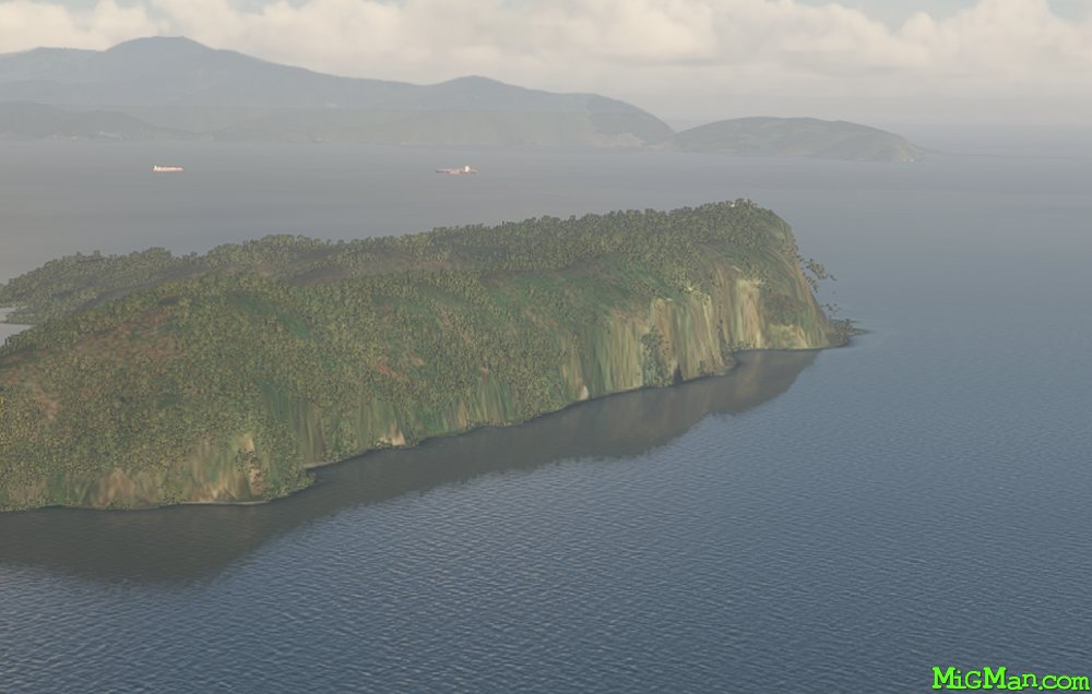 WP 4 - Chacachacare (lighthouse)
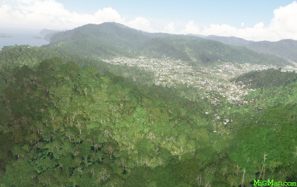 WP 5 - Town of Diego Martin
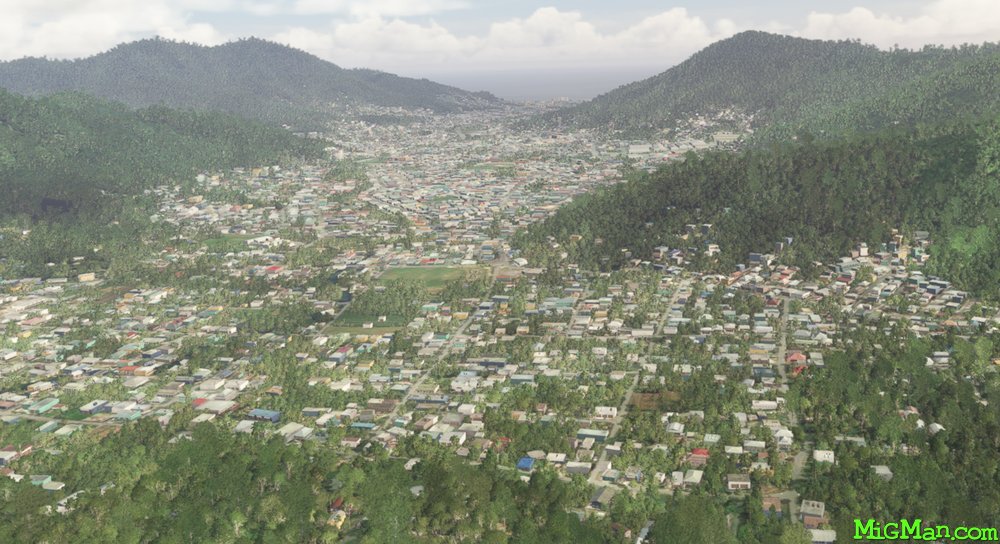 Looking south from the Town of Diego
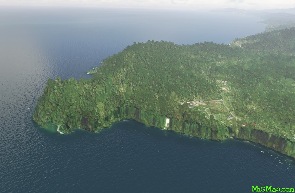 WP 5 - Headland at Filette
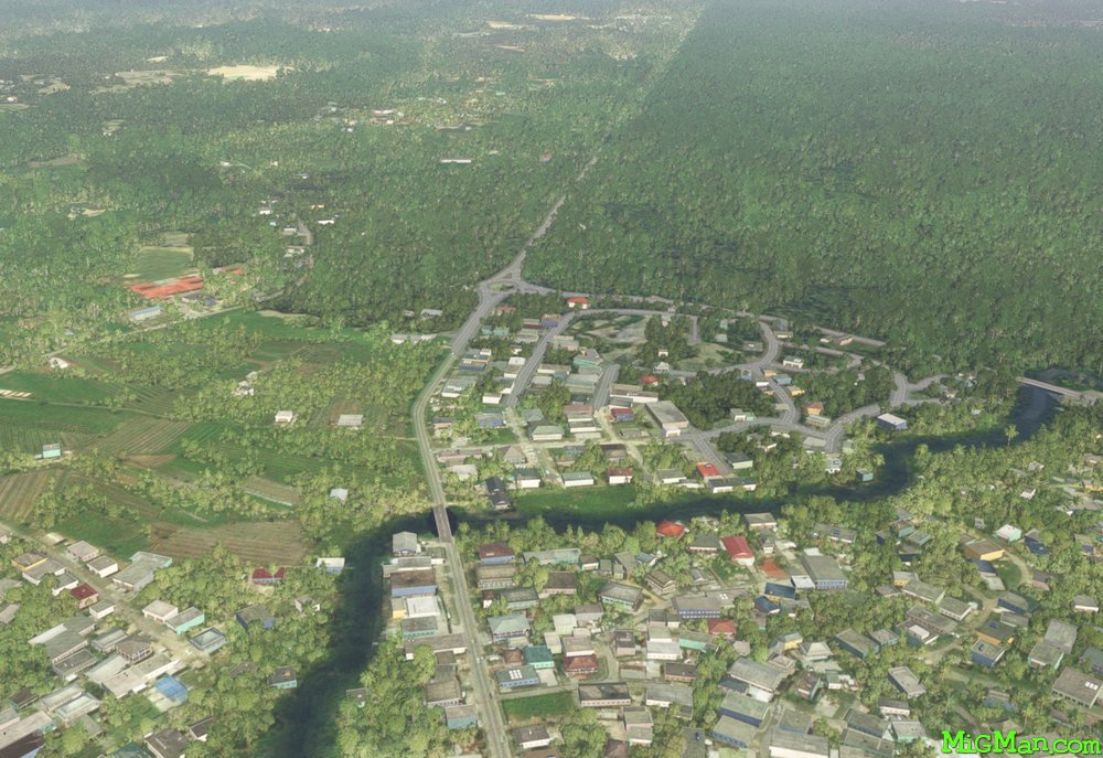 WP 6 - Intersection at Valencia
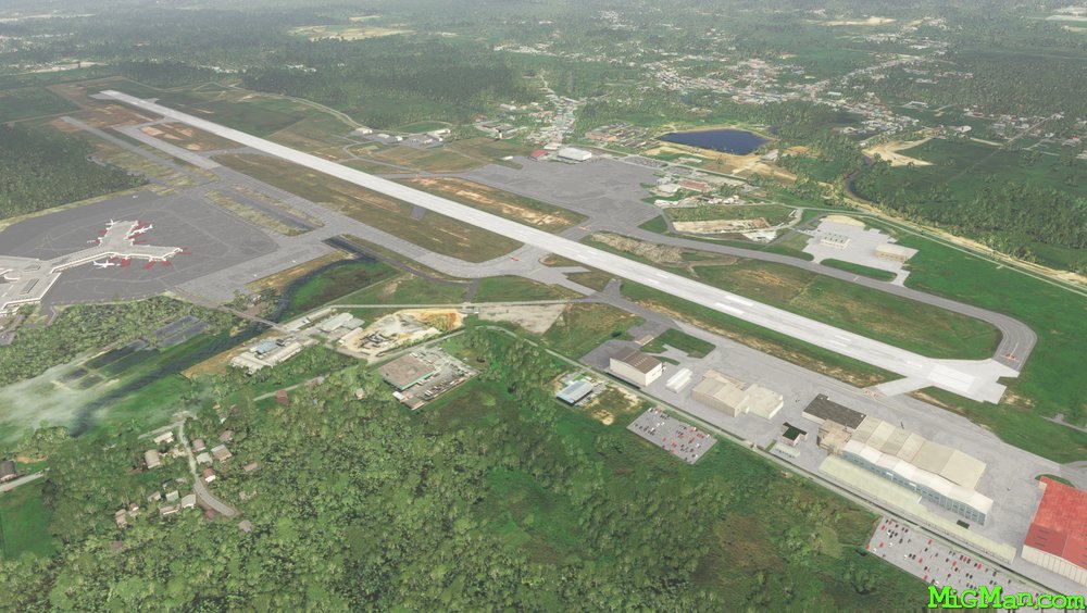 Piarco TTPP