Tunisia
A Night in Tunisia
- Country: Tunisia
- Locale: Tunis
- Route: Tunis-Carthage International (DTTA) to Tunis-Carthage International (DTTA)
- Distance: 60 nm
- File name: tunisia-DTTA-to-DTTA-VFR-210803
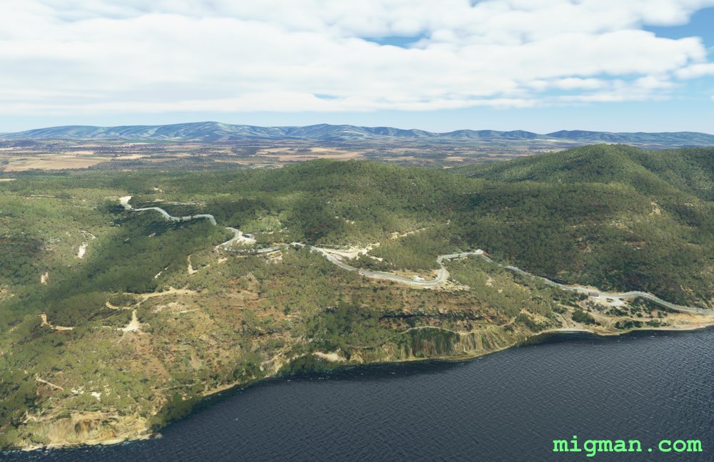
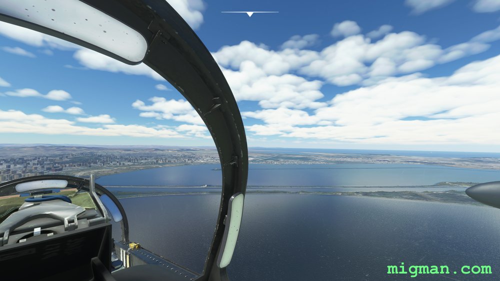
Skirt the coast at Tunis.
Waypoints
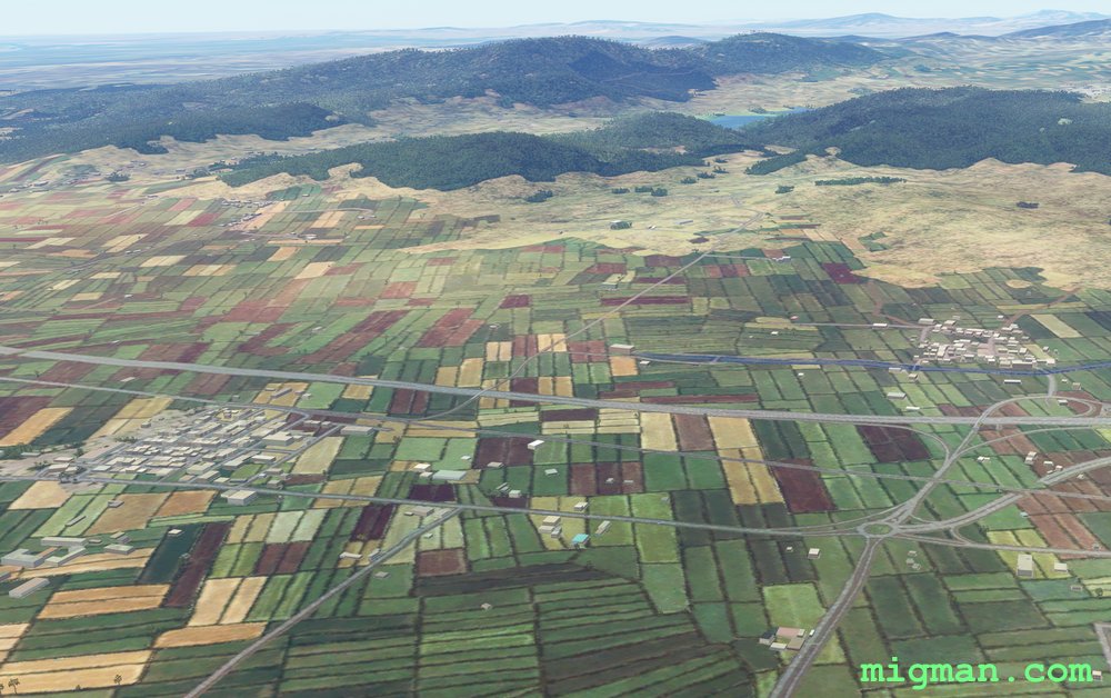
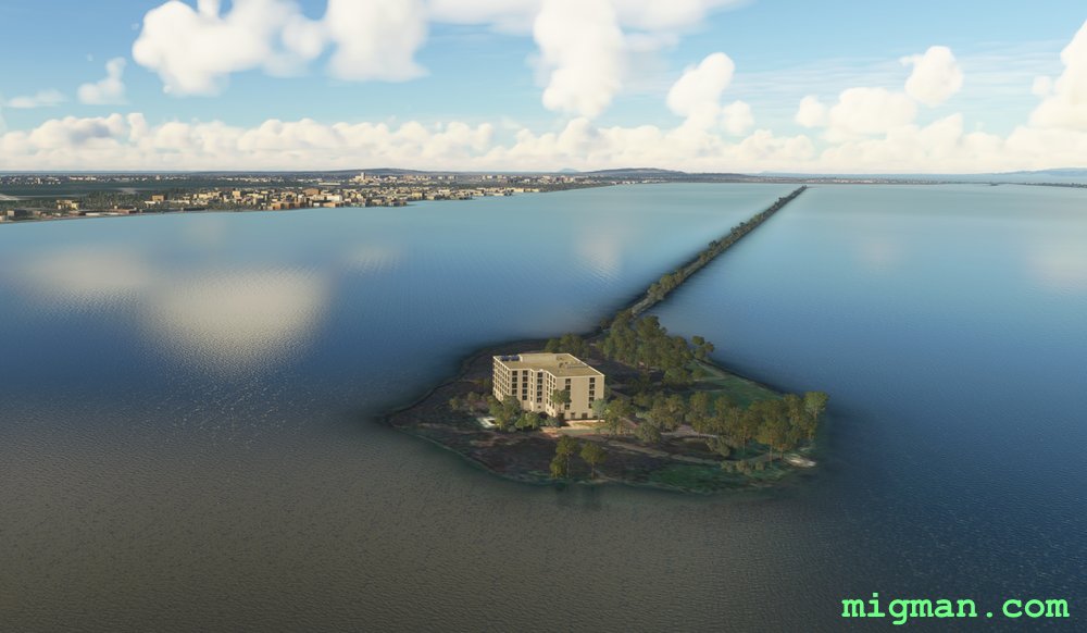
- WP 1 - Promontory at Taklisah
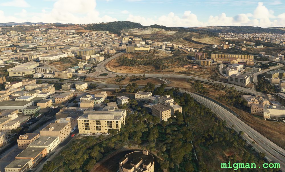
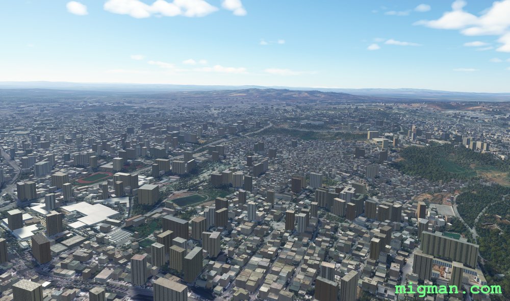
- WP 2 - Erriadh Ammunition Storage Facility
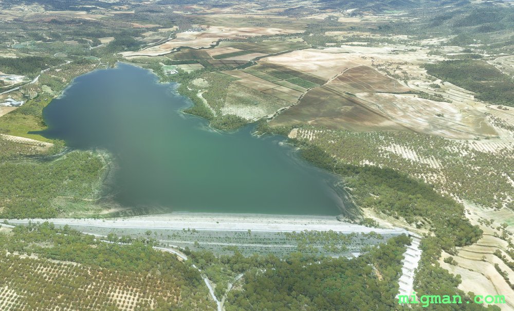
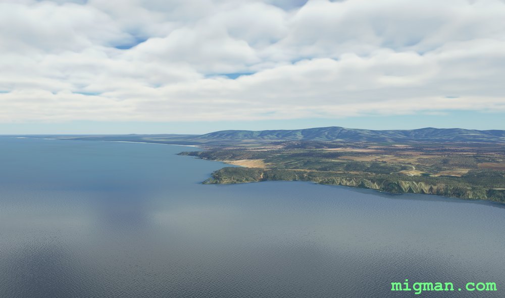
- Fly along the highway and across the SW corner of Lake Tunis to:
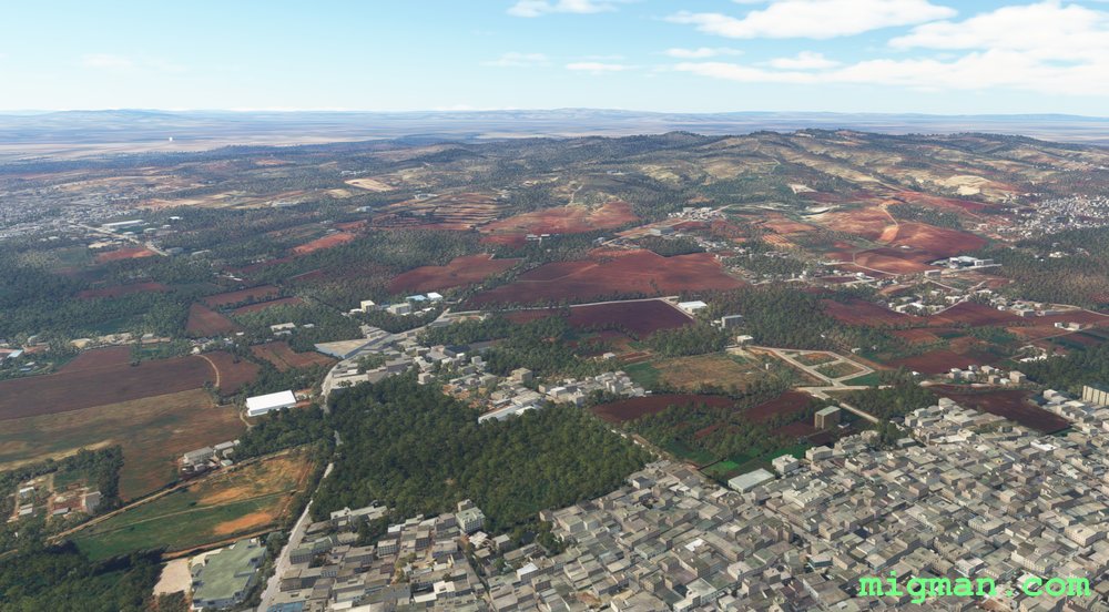
- WP 3 - Compound at the most elevated point in the area.
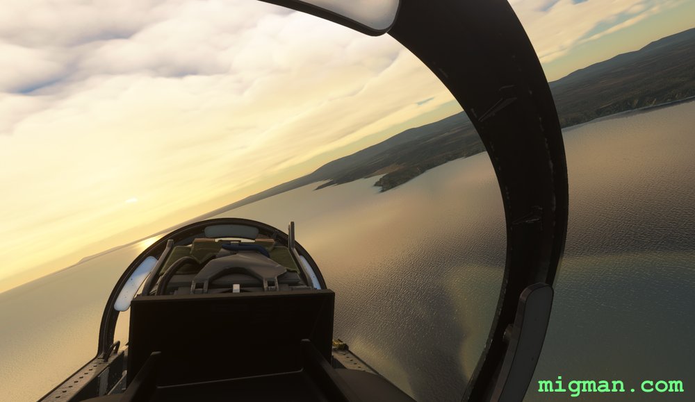
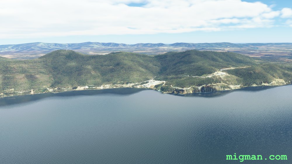
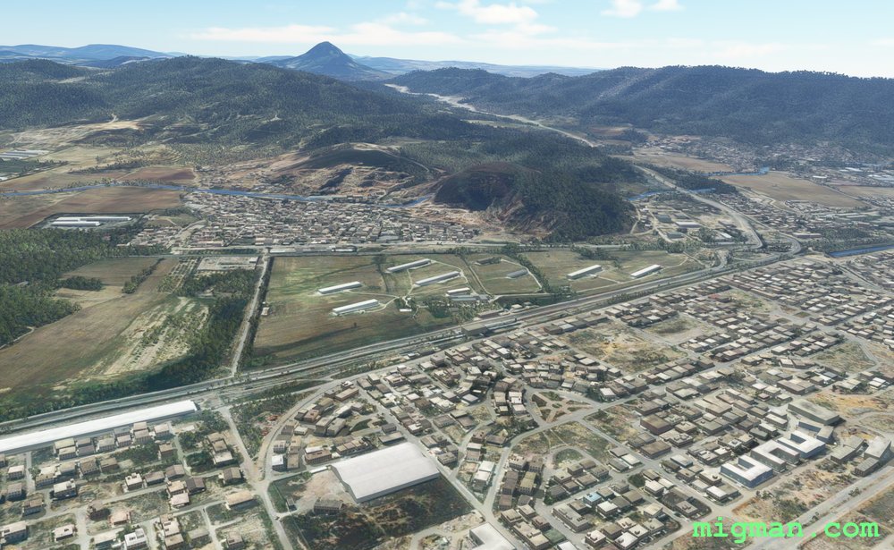
WP 1 - Promontory at Taklisah
WP 1 - Promontory at Taklisah
WP 1 - Promontory at Taklisah
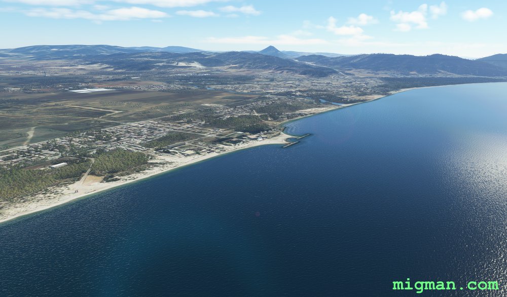
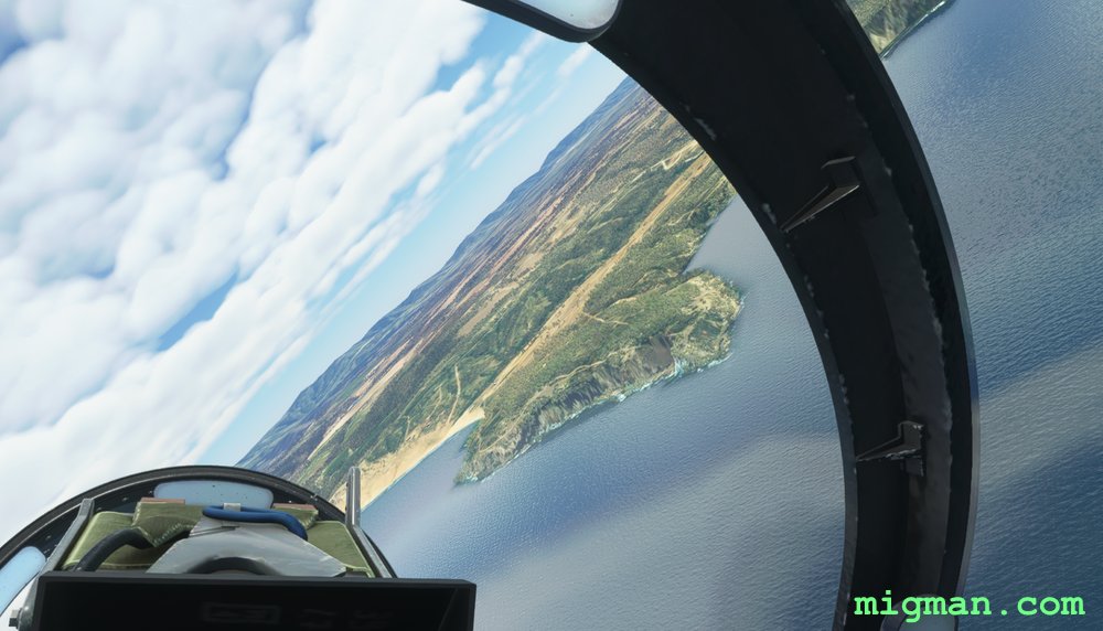
WP 2 - Erriadh Ammunition Storage Facility
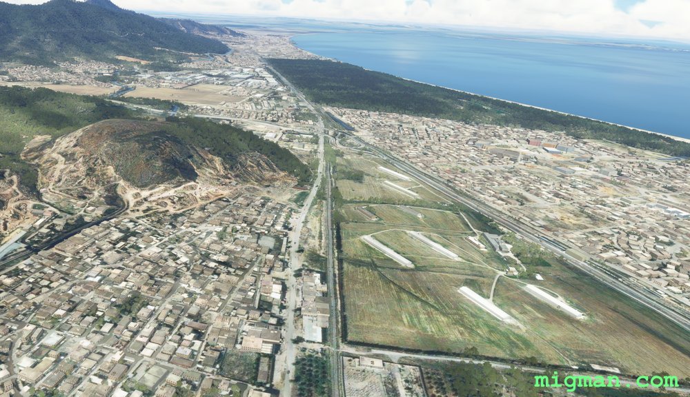
WP 2 - Erriadh Ammunition Storage Facility
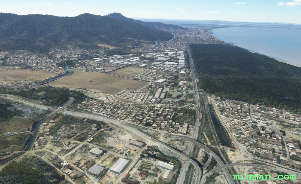
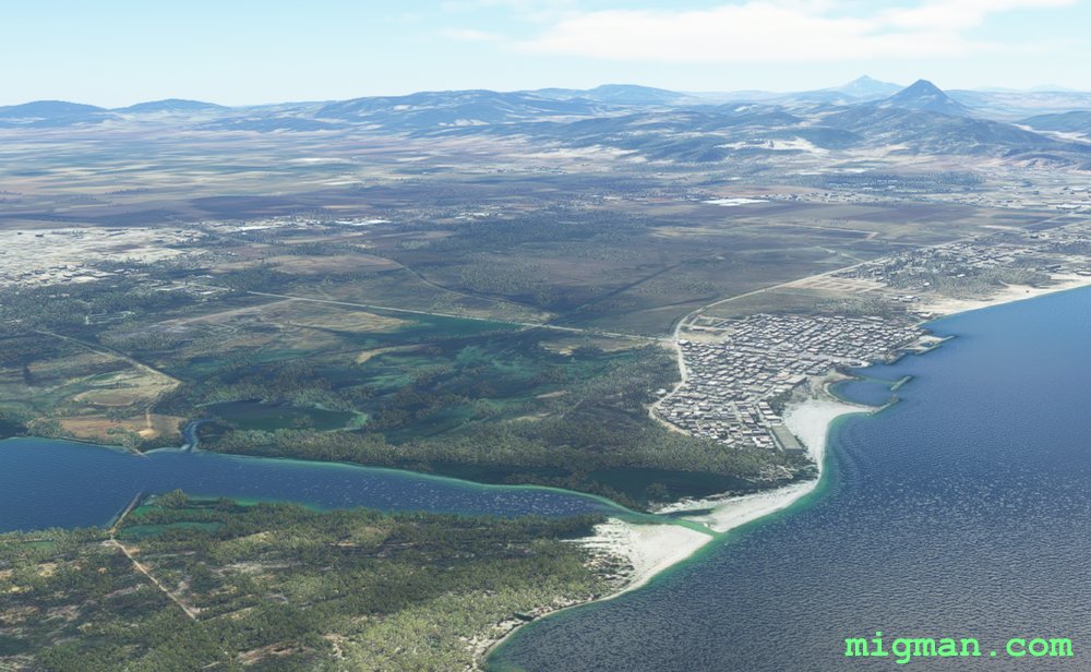
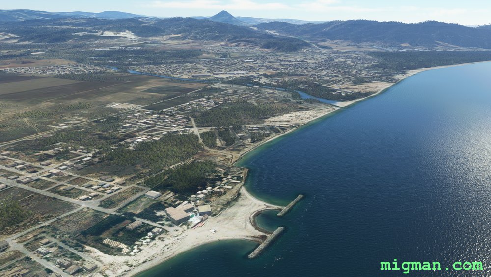
Fly along the highway...
... and across the SW corner of Lake Tunis.
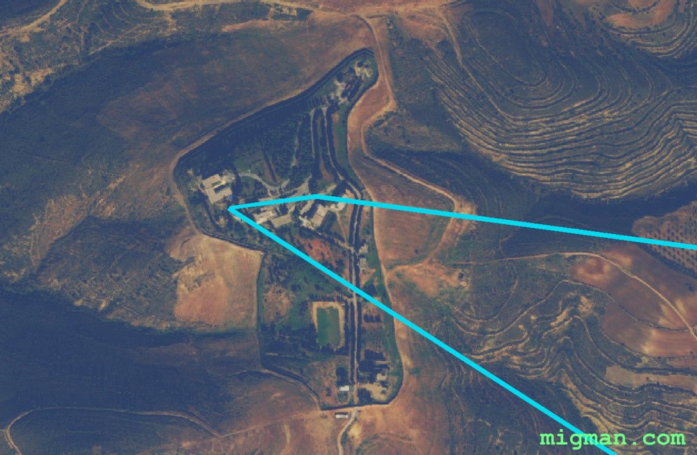
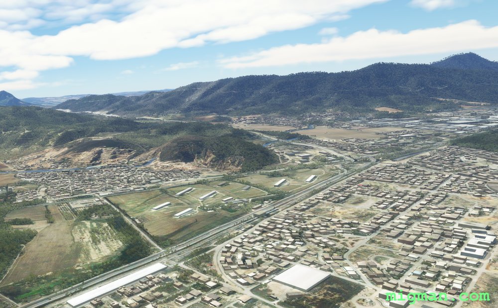
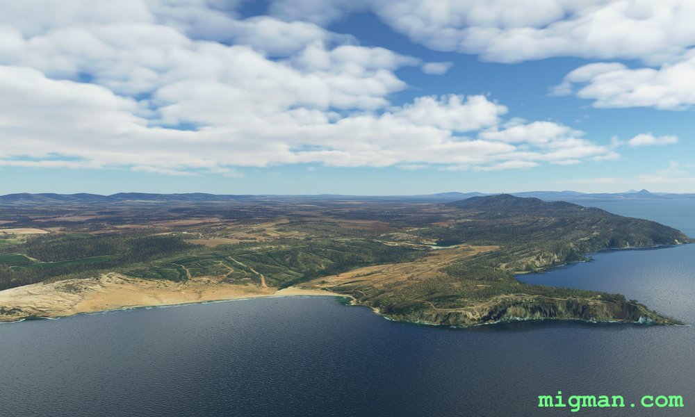
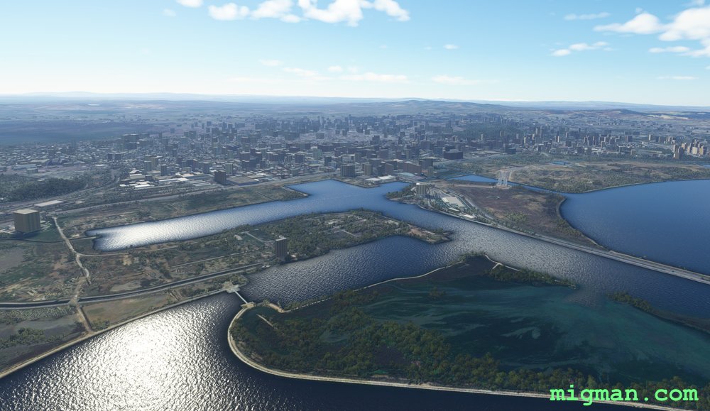
WP 3 - Compound at the most elevated point in the area.
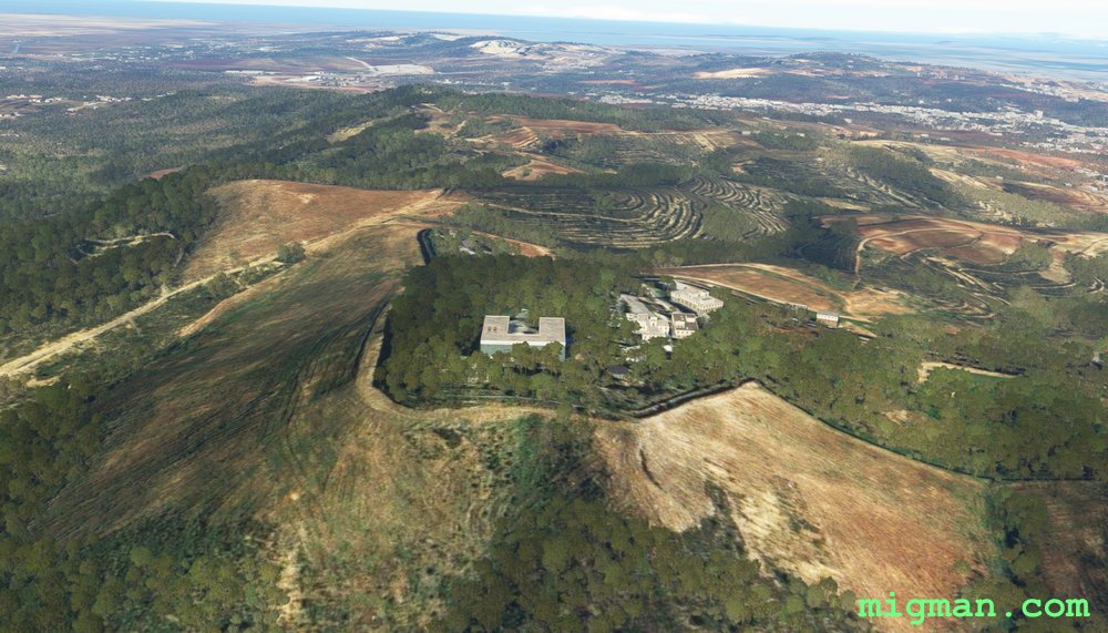
WP 3 - Compound at the most elevated point in the area.
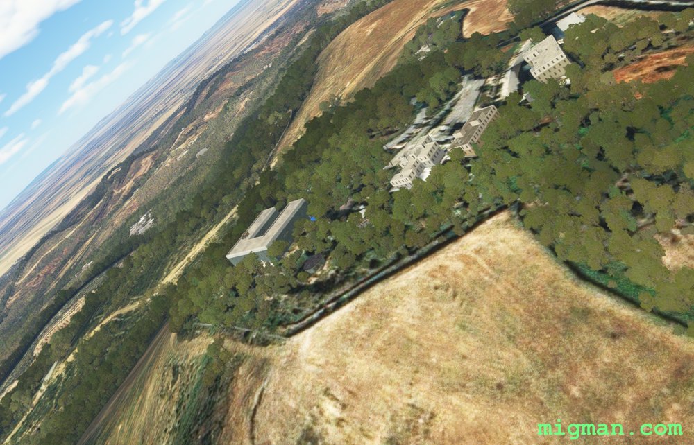
WP 3 - Compound at the most elevated point in the area.
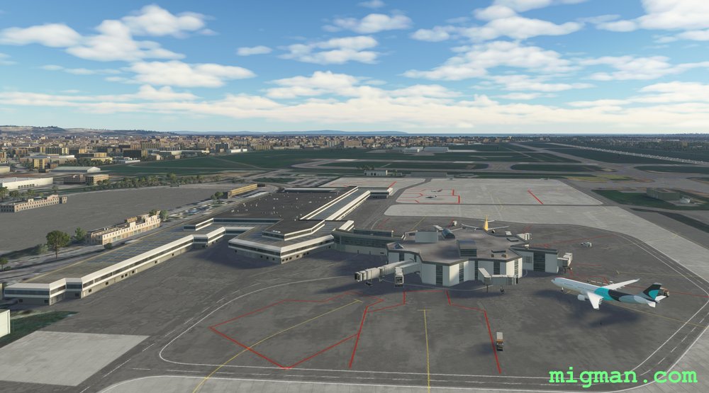
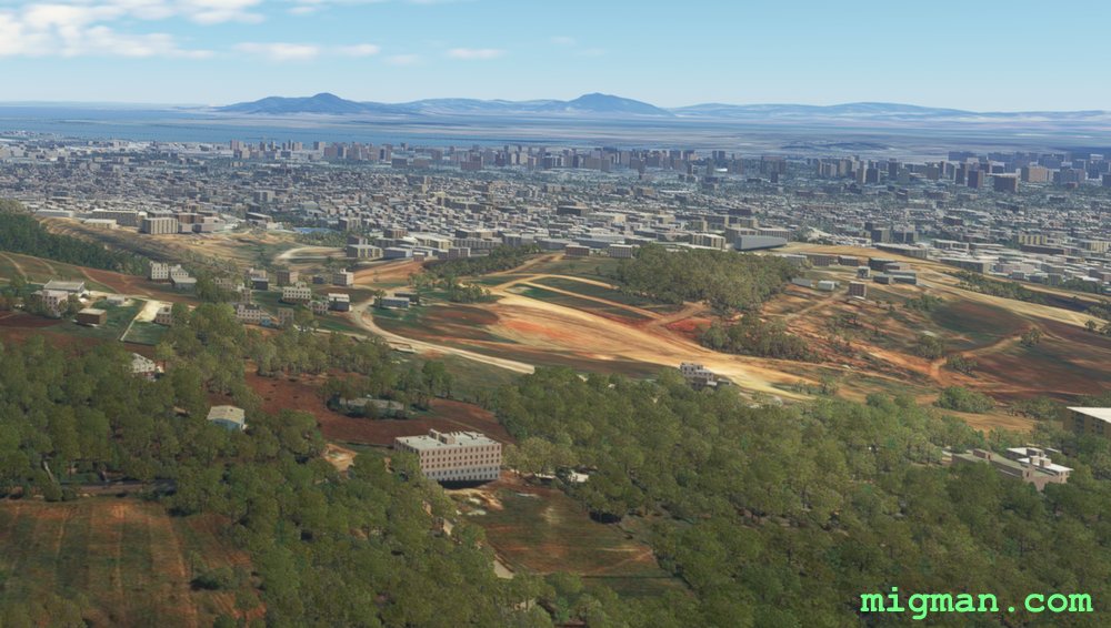
Airport Tunis-Carthage International (DTTA)
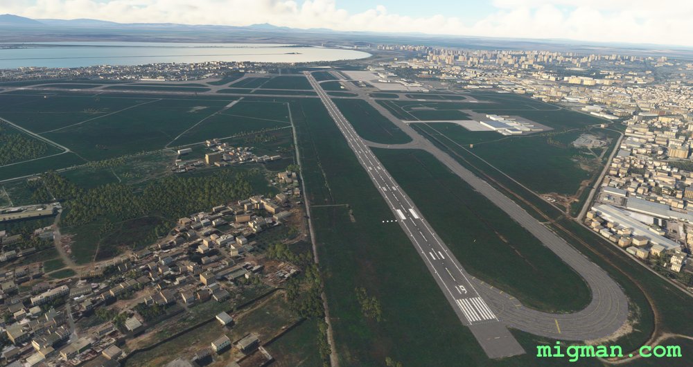
Airport Tunis-Carthage International (DTTA)
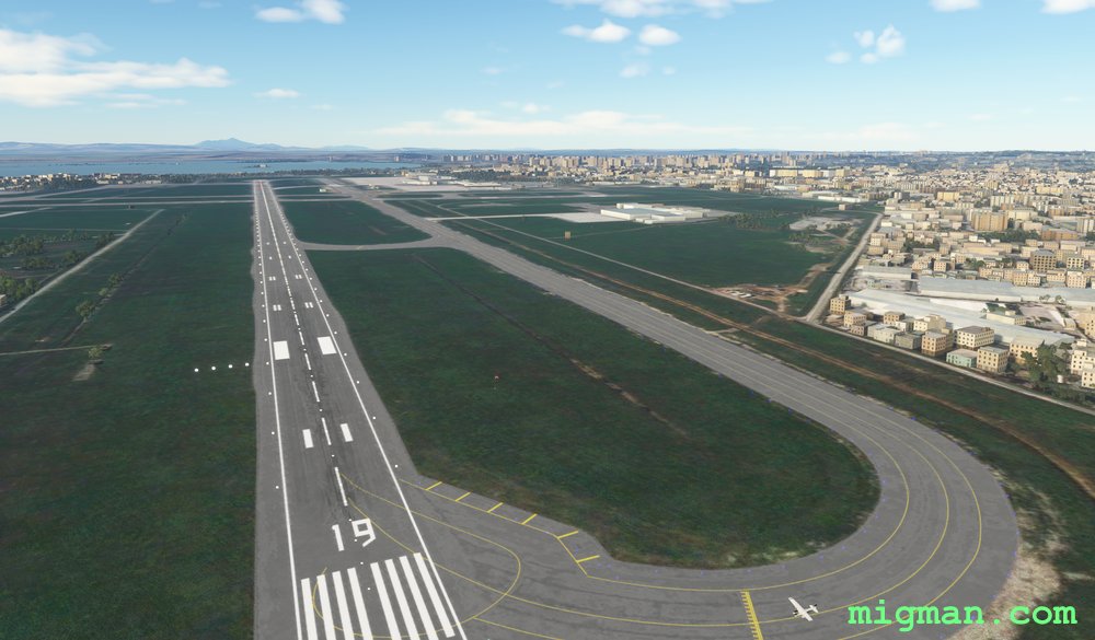
Airport Tunis-Carthage International (DTTA)
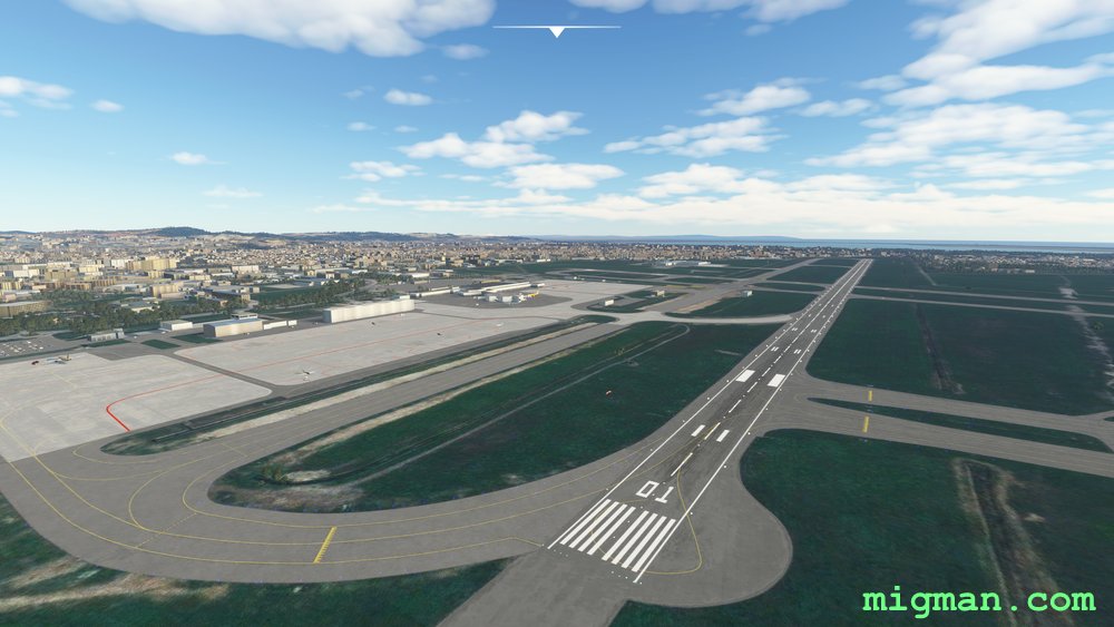
Airport Tunis-Carthage International (DTTA)
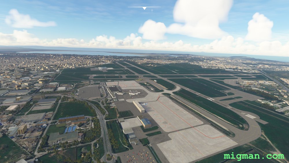
Airport Tunis-Carthage International (DTTA)