Marinas, Boats and Piers in the World
Publisher’s Description
❝
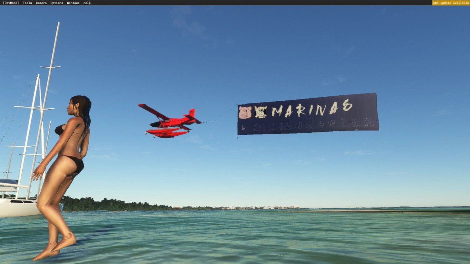
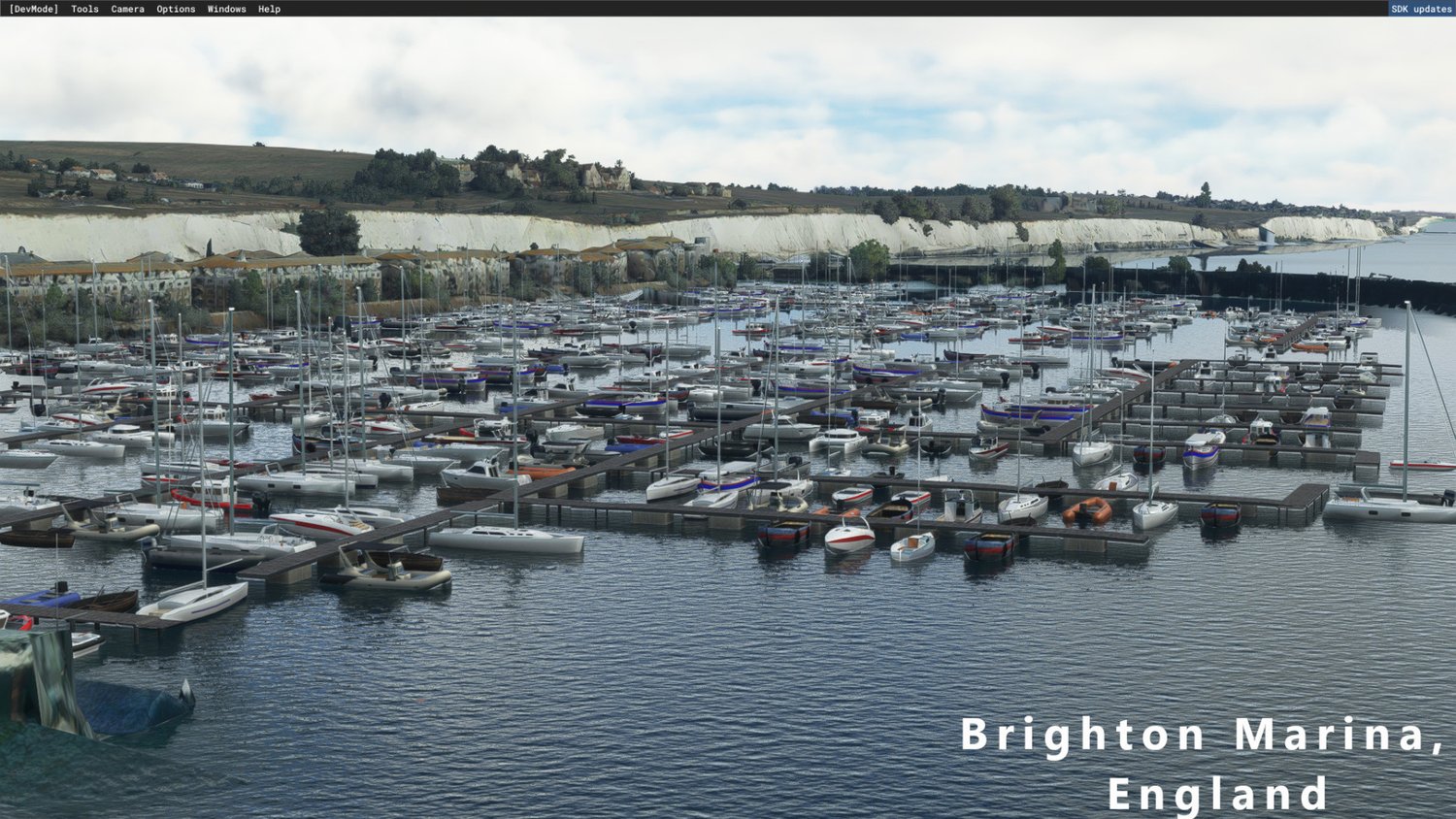
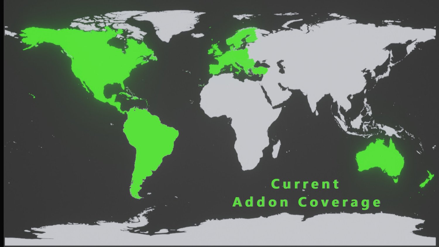
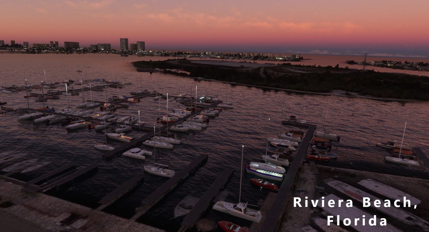
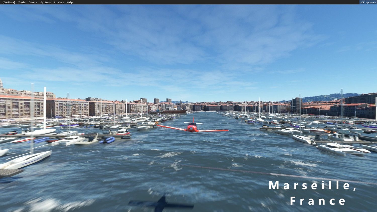
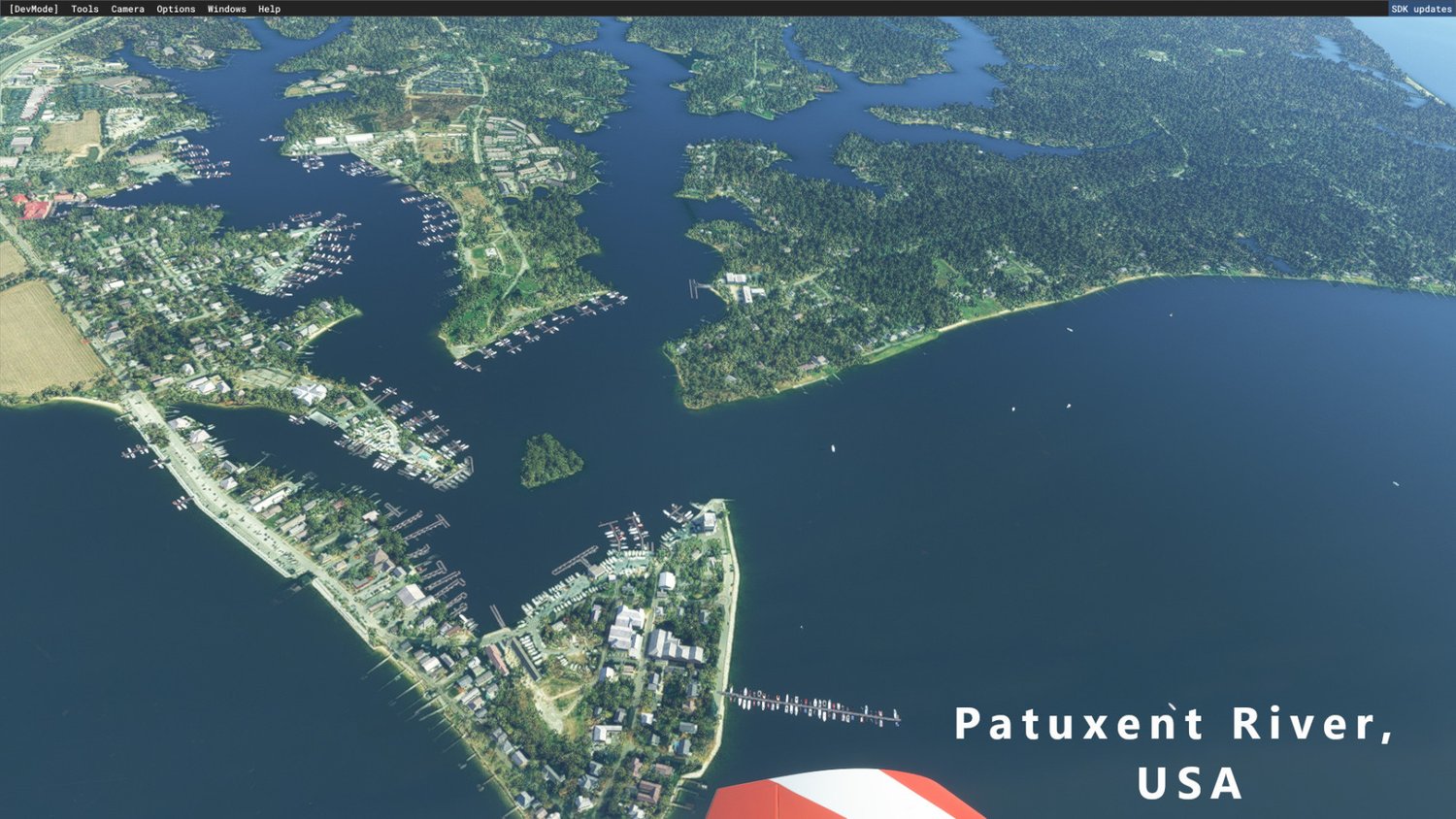
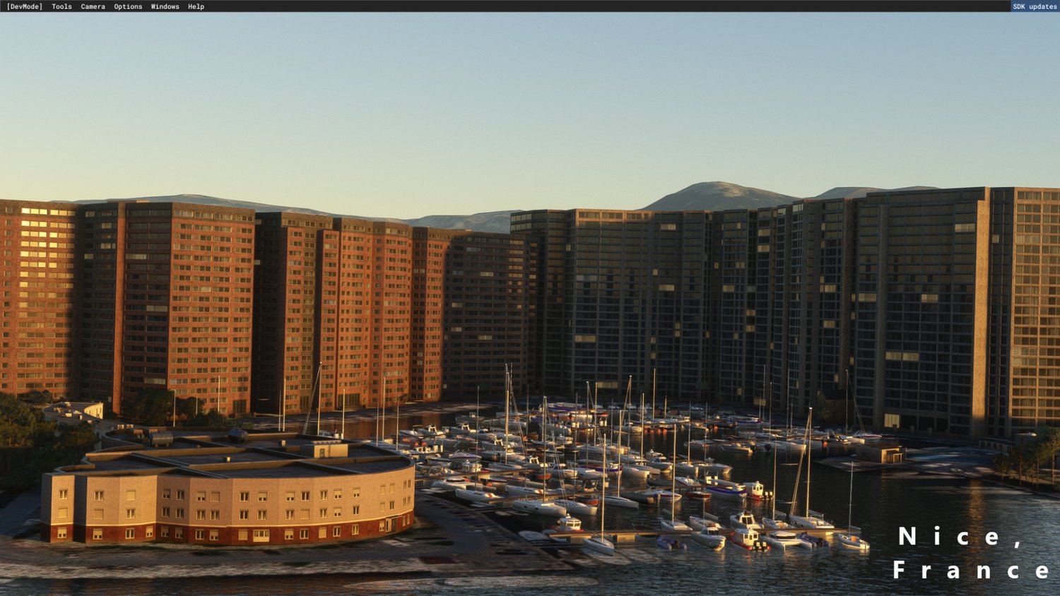
Marinas is a global scenery that place static boats and piers in marinas, sea, lakes and rivers, covering entire countries, data driven by Open Street Map Data Basic.
Breakwater implentation is also included.
Actual coverage includes: North America (Canada and USA) Central America (Mexico, Guatemala, Honduras, Belize, El Salvador, Costa Rica, Panama, Nicaragua) All the Carribeans (Cuba, Bahamas, Jamaica, Haiti, Republica Dominicana, porto Rico, Guadalupa, Dominica, Antigua and so on ) Western Europe (Portugal, Spain, France, Italy, Great Britain and Ireland, Suisse, Germany, Benelux, Poland, Austria) Eastern Europe (balkans region) Northern Europe (Danmark, Sweden, Norway, Finland) Australia and New Zealand.
KEEP IN MIND THAT THIS PACKAGE IS "AUTOGENERATED" VIA A LOT OF ALGORITHMS.
While most of the time the algorithm works fine, this package cannot be better than manually created scenery ( like other boats packages: Project Costline-Italy, Vessels by SeaFront Simulation or Sunken Boats by Bjian).
The purpose of this addon is to provide a GLOBAL coverage.
The package is gonna be loaded in the sim hierarchy at low level, so any other package more advanced/manually created will be able to exclude mine in their area.
FEATURING:
boat piers in the coutries included in the coverage
boats surrounding the piers
30ish new boats models
random static boats placed nearby marinas (the marinas are defined by leisure=marina tag in Open Street Map)
Per se, this package shouldn’t have any big compatiblity issue with other boats packages,
Of course if an Airport Package has created a Marina in the vicinity of the Airport, or you have specific boats packages in the area, they will overlap. Is up to the other devs sharing compatibility patches (i can created those for them, but I need their scenes to work with)
The placing algorithm for piers and static boats rely on piers drawn as LINES, piers drawn as polygon are likely to have uncorrect implementation. If there is someone that can create the centerline of those polygons, will be much appreciated!
Boats are placed in every pier according that the "mooring" tag in Open Street Map is not "no" or "commercial/industrial ". Open Street Map has great potential, but requires the data to be complete in order to grant the maximum possible realism. I encourage you to explore the Open Street Map world and add as much data as possible in the places you are familiar with!
Sometimes you can see boats that can’t really fit or maneuver in that pier, I’m working on that!
❞